
Beginner Off-Road Trails
Near Wilburton, Oklahoma
Explore All Beginner Trails Near Wilburton, Oklahoma
Beginner Off-Road Trails Near Wilburton, Oklahoma
Discover the best beginner-friendly off-road trails near you. These easier, lower-rated trails are a great place to start — browse trail maps, check difficulty ratings, and find your next adventure.
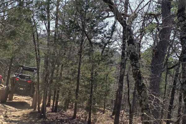
Lookout Access Trail
This is an easy way up the mountain for rigs of all sizes. There are some great lookout areas off the side of this mountain. Watch for wildlife while headed up; you never know when you might see a bear. Also, this is a great way for spectating friends coming up the more difficult trails.
Learn more about Lookout Access Trail
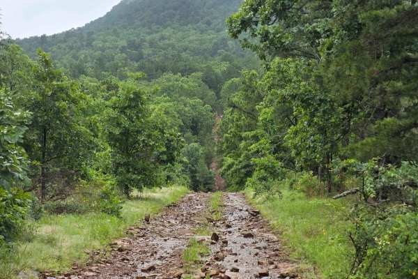
West Boundry Trail
The dirt trail runs parallel to the boundary fence of a private land parcel in rural Oklahoma, cutting through a mix of open prairie and lightly wooded areas. The trail itself is about 8 to 10 feet wide, composed of compacted red clay and loose gravel, with patches of grass and sand depending on rec...
Learn more about West Boundry Trail
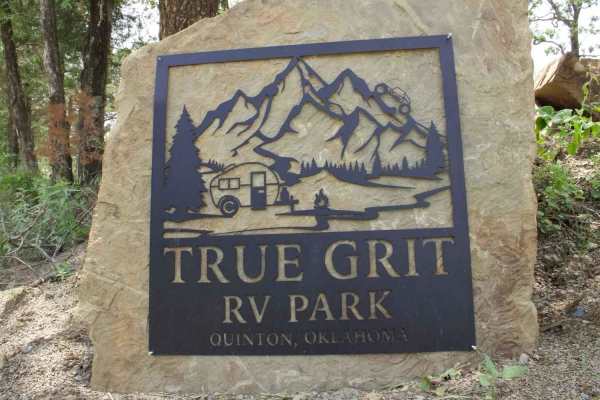
True Grit Lane
True Grit RV Park is a great place to stay if you need RV hookups. The road between the RV park and off-road park is paved, so don't worry about wearing out those sticky tires. Remember, people live on this road also, so please slow down to 10 miles per hour when in sight of houses and be courteous ...
Learn more about True Grit Lane
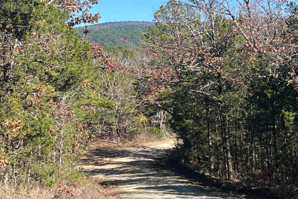
Muse
This is an easy and well maintained gravel road that cuts through the Quachita Wildlife Management Area near Muse, Oklahoma. Can be traveled in either direction, and you can access other activities along this route, like hunting, camping, and other off-road routes. Erosion can be an issue in some sp...
Learn more about Muse
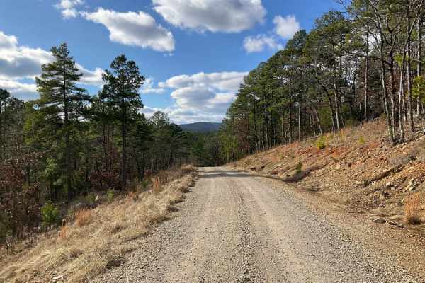
West Kelly (A45)
Forest Service Trail A45, affectionately known as West Kelly Trail, is a captivating journey through the dense, lush forests of the Ouachita National Forest in southeastern Oklahoma. Situated just north of the majestic Winding Stair Mountains, the trail is primarily a gravel road, accessible to most...
Learn more about West Kelly (A45)
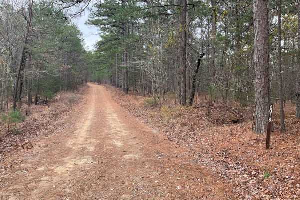
Tram Ridge Trail
Tram Ridge, also known as Forest Service Road 6018, is a scenic trail nestled in the Ouachita National Forest. Historically, the area is rich in natural beauty and has been a site for outdoor enthusiasts for generations. The trail is relatively easy, accessible to most vehicles, and is known for its...
Learn more about Tram Ridge Trail
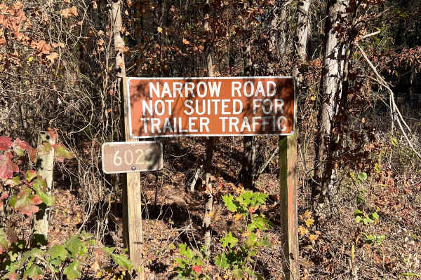
Lenox Ridge Road
Lenox Ridge Road is a mountain road that runs through the Quachita National Forest from Billy Creek campground to Oklahoma scenic Highway 1. The road is maintained with dirt and gravel, and signs are posted at each end advising against traveling it with trailers. There are a couple of nice campsites...
Learn more about Lenox Ridge Road
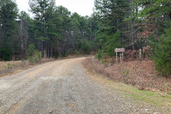
Tall Cedar Trail
"Tall Cedar," also known as Forest Service Road 6014, is a scenic passage nestled in the lush expanses of Le Flore County, Oklahoma, within the Ouachita National Forest. This 2.5-mile trail is an easy traverse, favored for its all-gravel and wide path, making it accessible to many. As it meanders up...
Learn more about Tall Cedar Trail
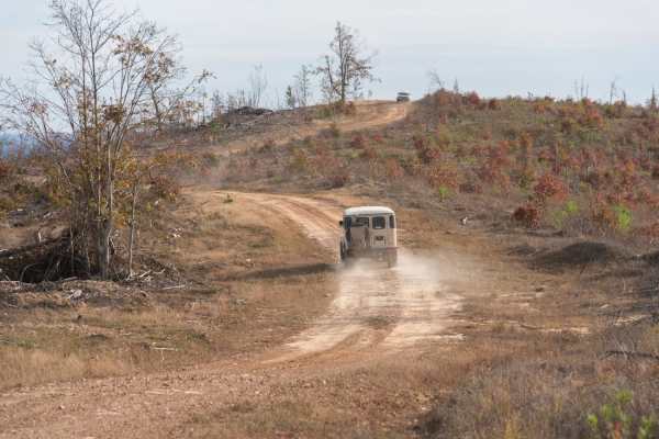
Honobia Creek Scenic Route
This is a 36-mile unpaved trail offering hilltop views. This series of forestry roads wind through the Honobia Creek Wildlife Management Area in southeast Oklahoma. Start off of Indian Route 144 at north entrance, the route loops back and crosses 144, and ends at several campsites. Scenery is superb...
Learn more about Honobia Creek Scenic Route
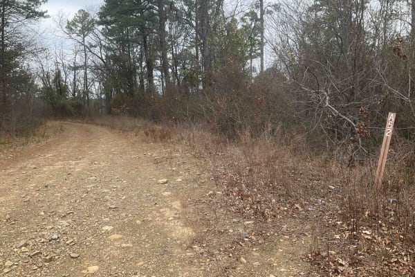
Upper Tram Trail
Upper Tram Trail, known locally as A52, is a picturesque trail set in the heart of the Ouachita National Forest. This trail is steeped in the area's rich history and offers an accessible route suitable for most vehicles. The journey along A52 is marked by mild ascents and descents as it follows the ...
Learn more about Upper Tram Trail
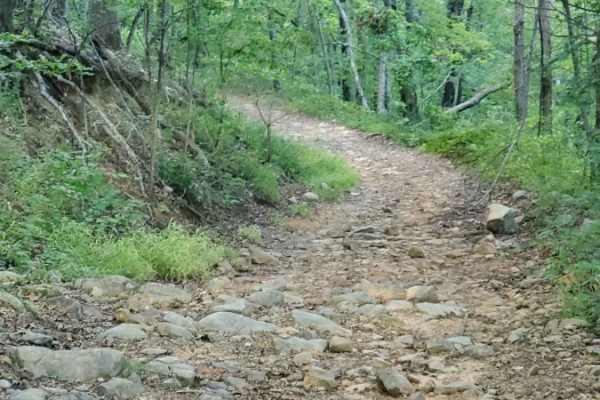
Little Cedar Bounce
Little Cedar Bounce offers an exciting and rugged challenge for high-clearance four-wheel-drive vehicles and SxSs looking to explore the dense forests of the Ouachita Wildlife Management Area. Spanning approximately 6.5 miles, this narrow, slow-going route requires careful tire placement and a stead...
Learn more about Little Cedar Bounce
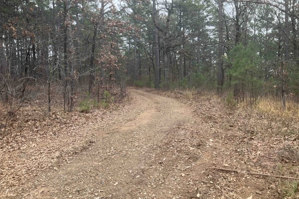
Tower Trail
The Tower Trail, also known as Forest Service A55A, is a concise and adventurous path in the Ouachita National Forest. Spanning only about 1.5 miles, this trail is relatively short but offers a unique journey as it ends in a large clearing, marked by a notable communications tower. Recently carved o...
Learn more about Tower Trail
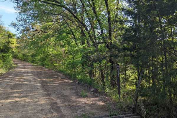
McMurtery Hollow
Nestled in the heart of the Ouachita Forest, this 6.8-mile OHV trail offers a dynamic off-road experience, perfect for enthusiasts looking to immerse themselves in nature. As you navigate the varied terrain, you're surrounded by the rich biodiversity of the Ouachita ecosystem. The trail is shaded by...
Learn more about McMurtery Hollow
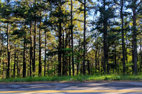
Page Smithville Route: OHV Trail 6007
Located off Highway 59 at the northeastern end and accessible via the Talimena Scenic Drive at the southwestern side, the Page Smithville route, also recognized as OHV trail 6007, offers an extraordinary off-road experience. This trail spans a diverse landscape with remarkable elevation changes as i...
Learn more about Page Smithville Route: OHV Trail 6007
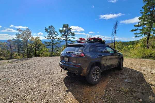
Poteau Mountain South
Leaving an awesome viewing spot and continuing down the west side of Poteau Mountain, this gravel road does not disappoint for views. As you wind your way down in elevation you will want to watch the slippery gravel. Descending this trail section has great views of the valley below. This trail ends...
Learn more about Poteau Mountain South
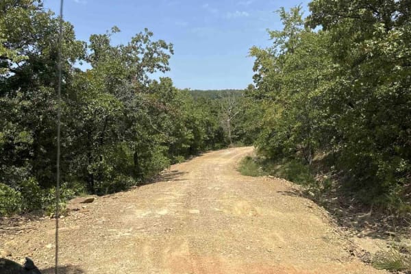
Lake Eufaula
This route is a mix of maintained gravel roads to Level B, non-maintained gravel roads. The trail is easy when dry but has multiple flash flood warnings so we would not recommend after/during rain. We did travel into CORPS of ENGINEERS land, which was marked as a road, but it quickly became swampy a...
Learn more about Lake Eufaula
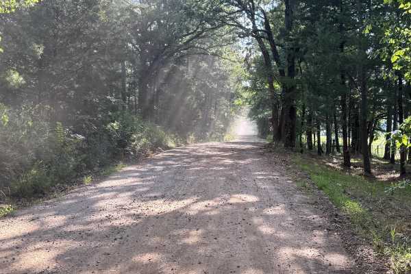
Black Fork Trail
This road is a rock-based road covered with gravel. The road can become slippery at times after heavy rains. The road is used by local farmers, and the farm equipment may cause congestion at times. There are potholes and small washes in the road, which cause the road to be bumpy. This road is easily...
Learn more about Black Fork Trail

E1057
The track services the local farming community and starts--or finishes, depending on your direction--beside a quiet cemetery, then rolls out as well-kept gravel that crunches beneath the tires. A small dam flashes by, the water often glassy at dawn, and a cool stream splashes under a concrete bridge...
Learn more about E1057
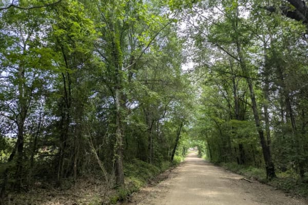
D1059
The drive slips beneath a leafy canopy, crunching over tidy gravel as it skirts a postcard-worthy farmhouse and drifts downhill toward a broad river. Most days, the crossing is little more than a gentle splash, but after a hard rain, the current pushes higher and quicker, so easing in with caution i...
Learn more about D1059
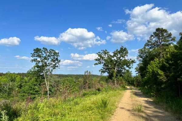
Buffalo Creek Camp
Prepare for an exciting journey along a mostly gravel road that leads to a hidden gem. The adventure culminates in a thrilling ride along a tight, winding trail, and at the end of this trail, you'll discover a charming campsite nestled right by the tranquil creek. This route has never disappointed, ...
Learn more about Buffalo Creek Camp
Beginner ATV trails near Wilburton, Oklahoma
Explore ATV-friendly trails near you. These trails are accessible for vehicles up to 50 inches wide, perfect for ATVs and smaller off-road machines.
West Boundry Trail
The dirt trail runs parallel to the boundary fence of a private land parcel in rural Oklahoma, cutting through a mix of open prairie and lightly wooded areas. The trail itself is about 8 to 10 feet wide, composed of compacted red clay and loose gravel, with patches of grass and sand depending on rec...
Learn more about West Boundry Trail
Muse
This is an easy and well maintained gravel road that cuts through the Quachita Wildlife Management Area near Muse, Oklahoma. Can be traveled in either direction, and you can access other activities along this route, like hunting, camping, and other off-road routes. Erosion can be an issue in some sp...
Learn more about Muse
West Kelly (A45)
Forest Service Trail A45, affectionately known as West Kelly Trail, is a captivating journey through the dense, lush forests of the Ouachita National Forest in southeastern Oklahoma. Situated just north of the majestic Winding Stair Mountains, the trail is primarily a gravel road, accessible to most...
Learn more about West Kelly (A45)
Tram Ridge Trail
Tram Ridge, also known as Forest Service Road 6018, is a scenic trail nestled in the Ouachita National Forest. Historically, the area is rich in natural beauty and has been a site for outdoor enthusiasts for generations. The trail is relatively easy, accessible to most vehicles, and is known for its...
Learn more about Tram Ridge Trail
Beginner UTV/side-by-side trails near Wilburton, Oklahoma
Find UTV and side-by-side trails near you. These trails accommodate vehicles up to 60 inches wide, ideal for UTVs, side-by-sides, and wider off-road rigs.
West Boundry Trail
The dirt trail runs parallel to the boundary fence of a private land parcel in rural Oklahoma, cutting through a mix of open prairie and lightly wooded areas. The trail itself is about 8 to 10 feet wide, composed of compacted red clay and loose gravel, with patches of grass and sand depending on rec...
Learn more about West Boundry Trail
Muse
This is an easy and well maintained gravel road that cuts through the Quachita Wildlife Management Area near Muse, Oklahoma. Can be traveled in either direction, and you can access other activities along this route, like hunting, camping, and other off-road routes. Erosion can be an issue in some sp...
Learn more about Muse
West Kelly (A45)
Forest Service Trail A45, affectionately known as West Kelly Trail, is a captivating journey through the dense, lush forests of the Ouachita National Forest in southeastern Oklahoma. Situated just north of the majestic Winding Stair Mountains, the trail is primarily a gravel road, accessible to most...
Learn more about West Kelly (A45)
Tram Ridge Trail
Tram Ridge, also known as Forest Service Road 6018, is a scenic trail nestled in the Ouachita National Forest. Historically, the area is rich in natural beauty and has been a site for outdoor enthusiasts for generations. The trail is relatively easy, accessible to most vehicles, and is known for its...
Learn more about Tram Ridge Trail
The onX Offroad Difference
onX Offroad combines trail photos, descriptions, difficulty ratings, width restrictions, seasonality, and more in a user-friendly interface. Available on all devices, with offline access and full compatibility with CarPlay and Android Auto. Discover what you're missing today!
Open Trail Map