Trail Overview
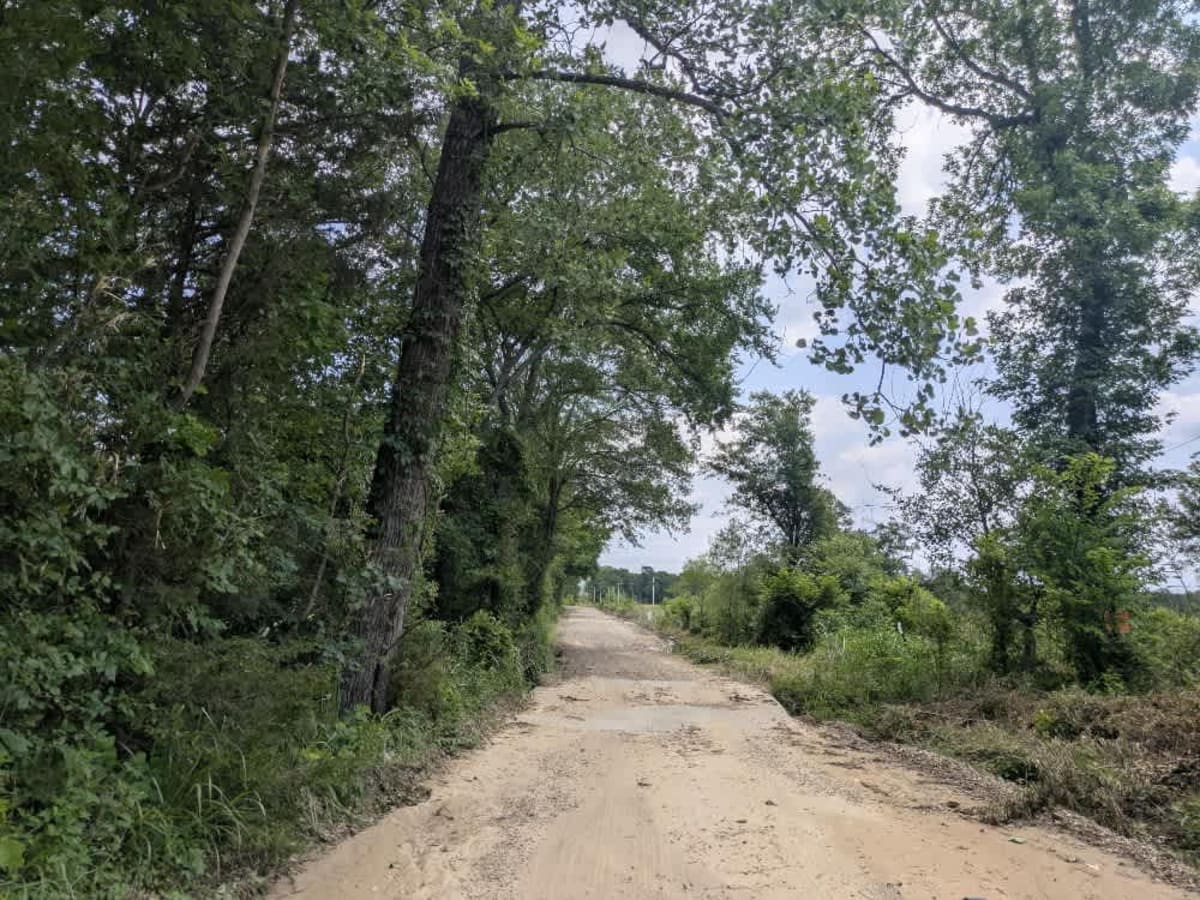
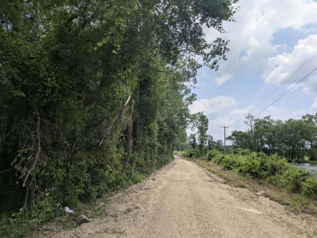
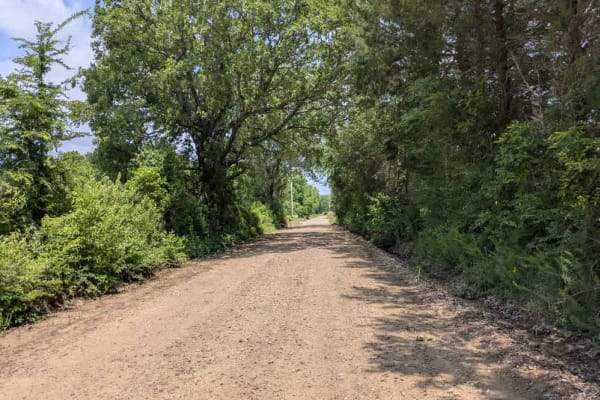
The track services the local farming community and starts--or finishes, depending on your direction--beside a quiet cemetery, then rolls out as well-kept gravel that crunches beneath the tires. A small dam flashes by, the water often glassy at dawn, and a cool stream splashes under a concrete bridge. Apart from the scenery, there is nothing in the way of services: no campsites, no bins, no potable water, and only patchy cell reception, so it pays to confirm coverage on your onX map before heading off.
Difficulty
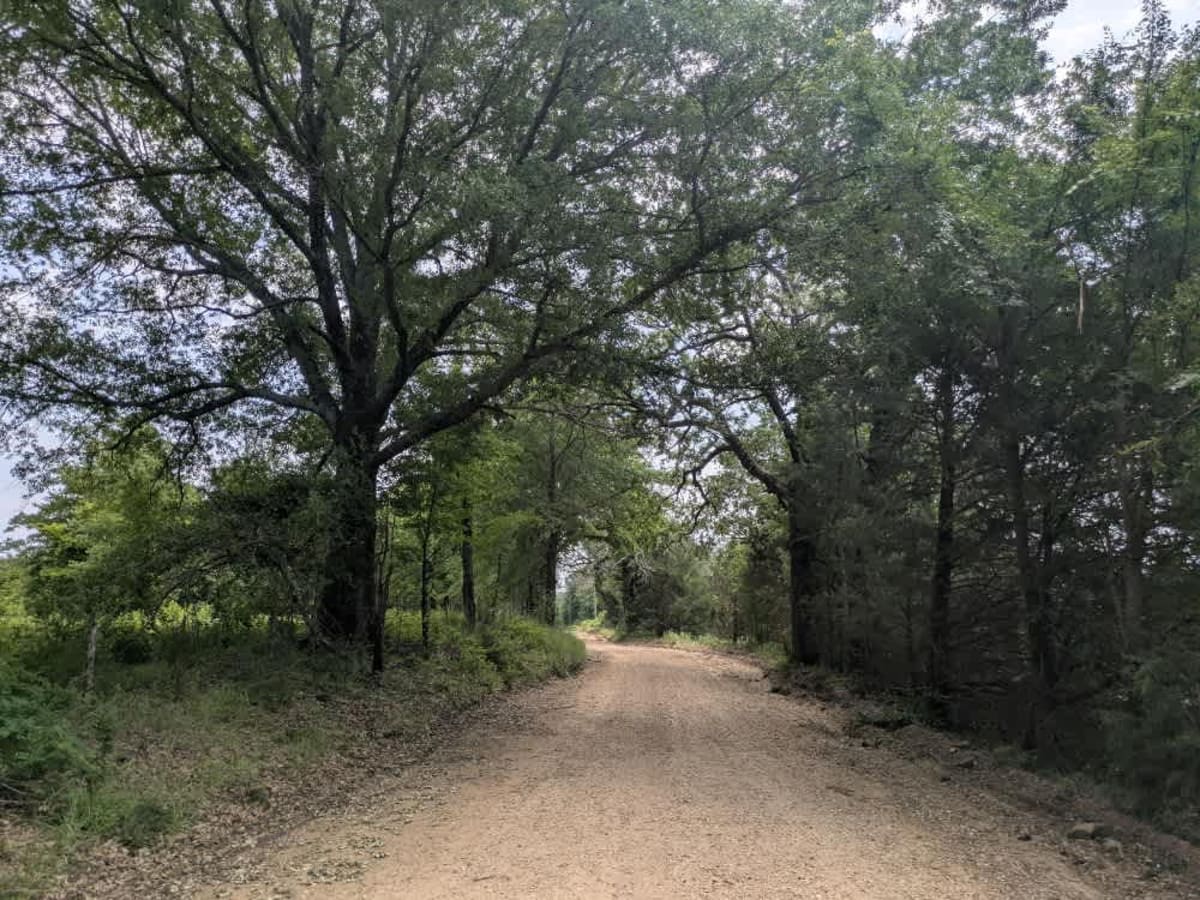
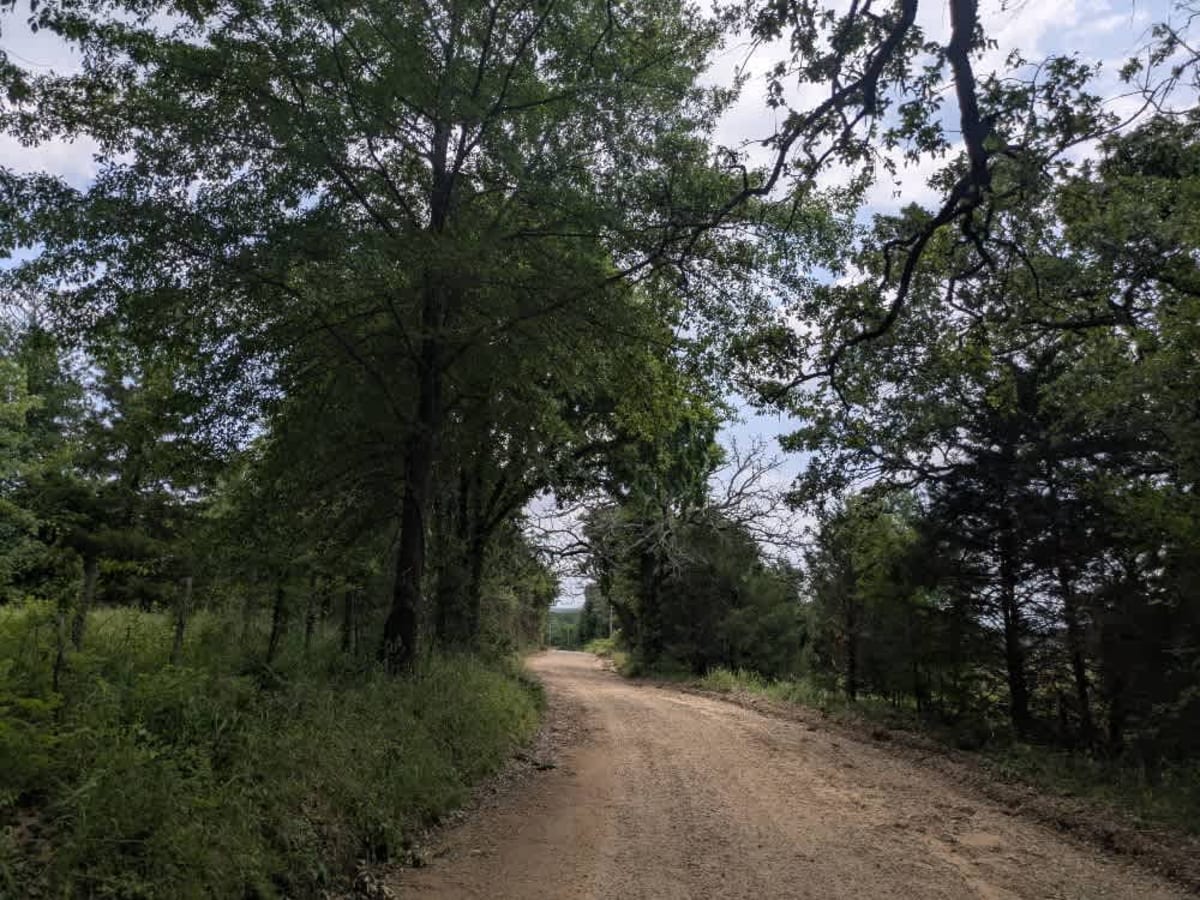
The trail is well-maintained and routinely graded to support a range of local use, from daily agricultural traffic by farmers to occasional travelers and outdoor enthusiasts passing through the area. Its good condition makes it easily accessible and reliable for all types of vehicles.
History
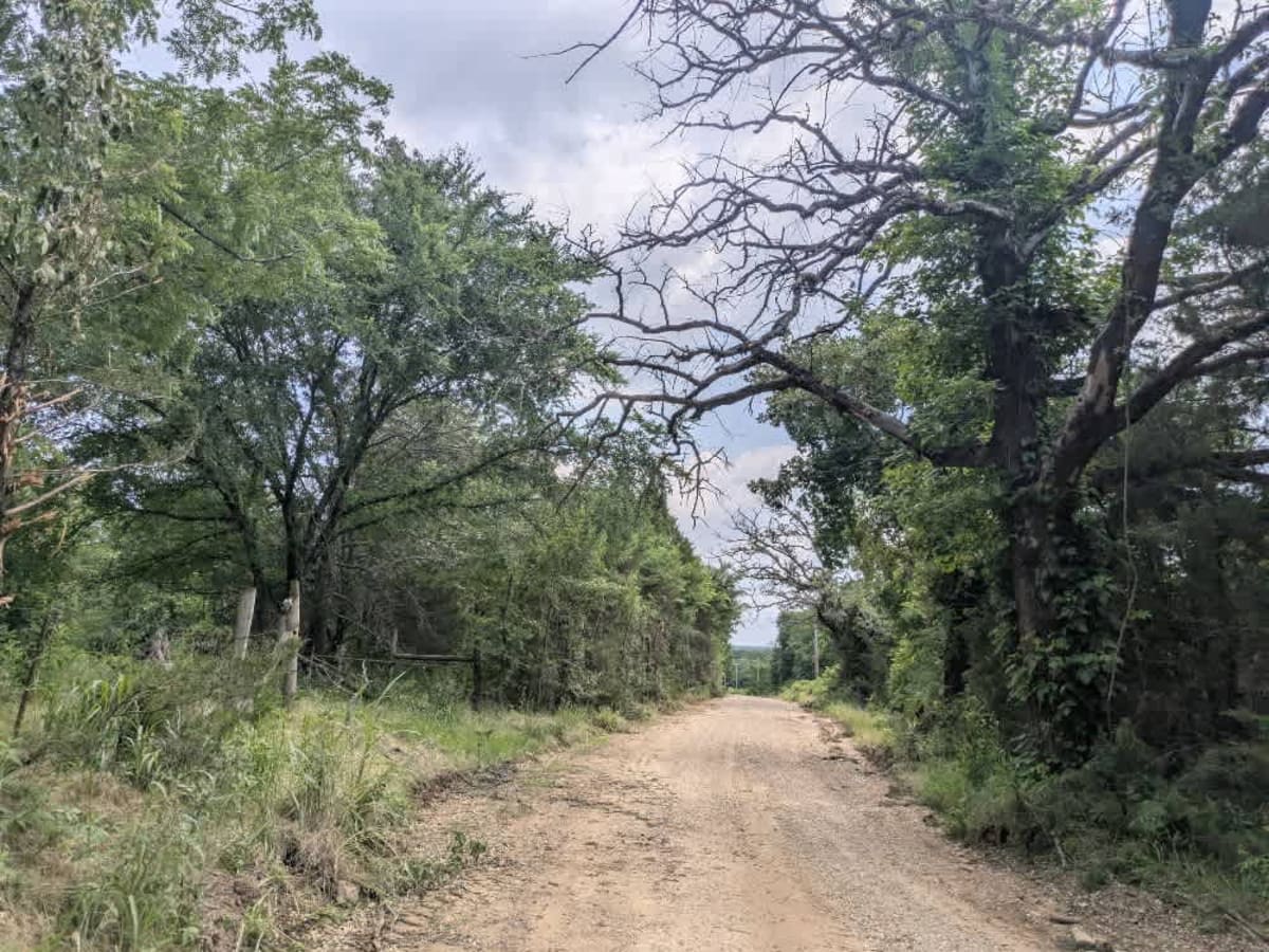
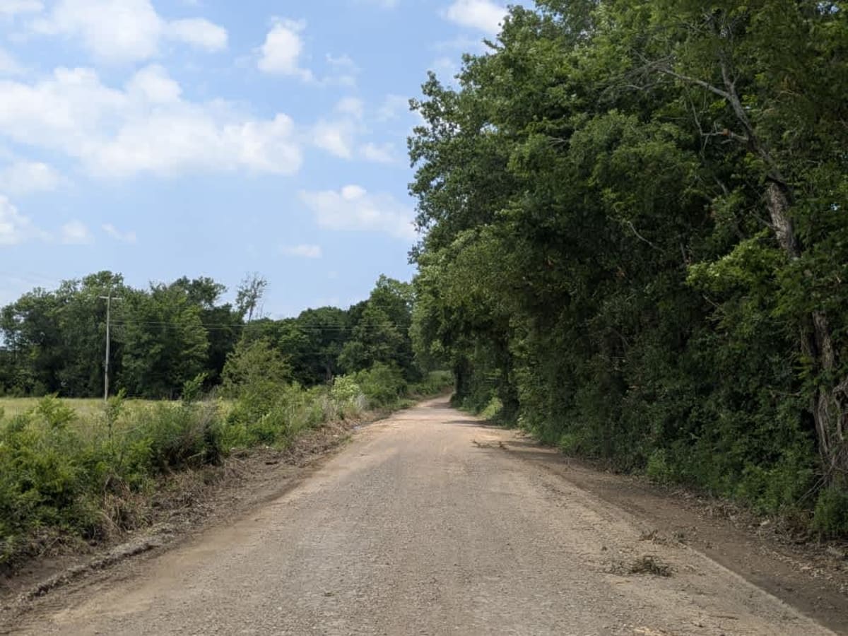
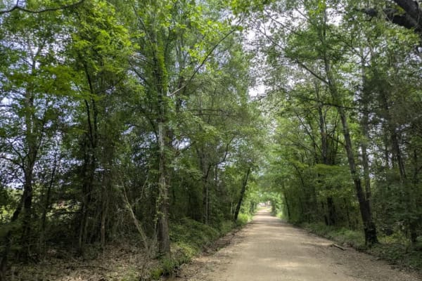
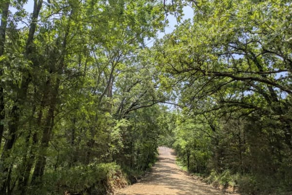
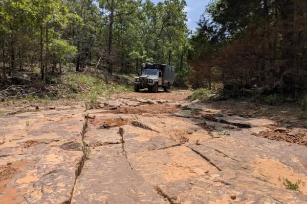
The Oklahoma Adventure Trail unfolds as a patchwork of county lanes, forest roads, and forgotten byways that knit together the state's eastern hills and river bottoms into a single, meandering drive. Much of the route drifts across loose-gravel farm tracks where washboard sections, shallow potholes, and the odd stretch of corrugations keep the steering wheel busy. In pasture country, the trail often threads between tidy homesteads and hayfields, so pickups, tractors, wandering livestock, and even the occasional basketball game at a roadside hoop are part of the scenery. Water is a recurring companion, whether a broad, submerged bridge that leads into a rough ascent, or the shaded creek crossings where turtles and snakes warm themselves on the verge, and spring storms can turn those crossings into obstacles in a matter of hours.