
Beginner Off-Road Trails
Near Westfield, Pennsylvania
Explore All Beginner Trails Near Westfield, Pennsylvania
Beginner Off-Road Trails Near Westfield, Pennsylvania
Discover the best beginner-friendly off-road trails near you. These easier, lower-rated trails are a great place to start — browse trail maps, check difficulty ratings, and find your next adventure.
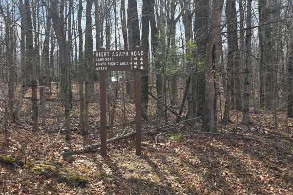
Right Asaph Road
This trail begins off one of the many gas roads intersecting this area of Pennsylvania, beginning as an access road to a small number of private camps before entering the Tioga State Forest. It is composed mainly of dirt, but is maintained with gravel in the southern half of the trail. While not b...
Learn more about Right Asaph Road
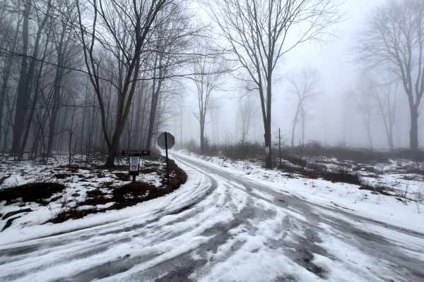
Hessel Gessel Trail
Hessel Gessel Trail is a seasonal access road in Tioga State Forest, generally open from Early October to Late February. There has been a lot of logging activity in this area recently. There is one stunning section of trail with tall pines and low underbrush. The trail leads to a large clearing with...
Learn more about Hessel Gessel Trail
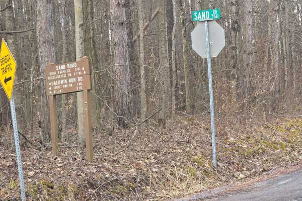
Sand Road
Sand Road is a trail through the Tioga State Forest off of Norris Brook Road. The trail is mostly dirt and gravel and offers little technical difficulty. However, after snow melt or steady rain, the trail becomes very muddy and rutted. The surrounding streams and tributaries can make for very soft g...
Learn more about Sand Road
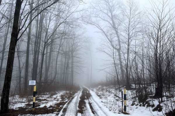
Left Straight Run Trail
Left Straight Run Trail is a seasonal access road in Tioga State Forest, generally open from Early October to Late February. There has been a lot of logging activity in this area recently, and the trail begins at a large clearing. The gate is just past the equestrian campsite located near Sand Road....
Learn more about Left Straight Run Trail
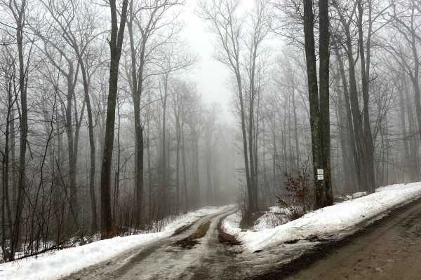
Deer Lick Trail
Deer Lick Trail is a seasonal access road in Tioga State Forest, generally open from Early October to Late February. The trail leads to a large clearing. The road surface is primarily dirt, which will be muddy in wet seasons. There are a number of small mud puddles and shallow ruts. There is limited...
Learn more about Deer Lick Trail
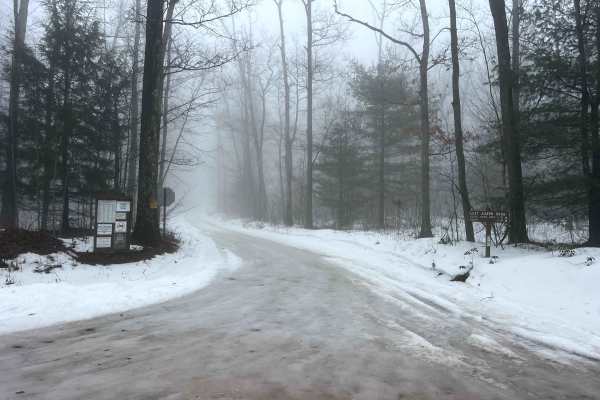
Left Asaph Road
Left Asaph Road connects from Gurnee Road to the intersection of Asaph Run Road and Right Asaph Road. The Asaph Run Picnic area and Campground is at the aforementioned intersection. The restrooms at the picnic area are open during the warm seasons. The road is well-maintained gravel and wide enough...
Learn more about Left Asaph Road
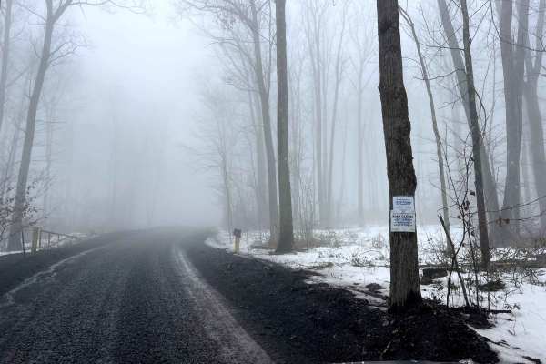
Broad Ridge Trail
Broad Ridge Trail is a seasonal access road in Tioga State Forest, generally open from Early October to Late February. The road is currently being used by resource companies and, as such, is wide and smooth. The trail leads to a gravel lot and a temporary reservoir pond. The road surface is gravel a...
Learn more about Broad Ridge Trail
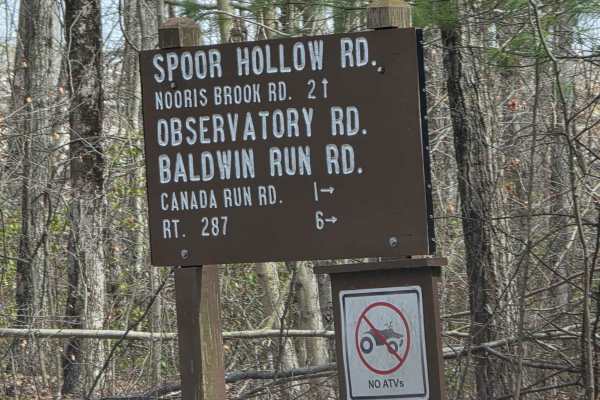
Observatory Road
This trail is a dirt road connecting Baldwyn Run Road with Norris Brook Road. The trail is easy to drive in dry conditions, but passes through multiple streams and wet areas, which create a lot of mud, washouts, and rutted areas. The entire trail is plagued with fallen trees due to the soft ground c...
Learn more about Observatory Road
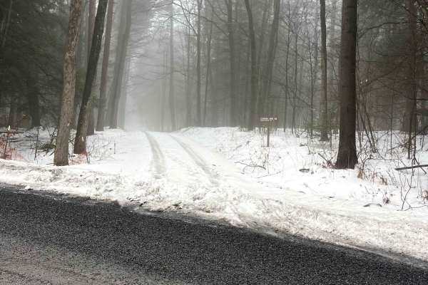
Canada Run Road
Canada Run Road is named after the rushing mountain creek that flows through this hollow. The road is lined with evergreen and hardwood trees, and in many places is a 1 vehicle wide shelf road. Towards the end of the route, there is a single campsite and a culvert where Horse Run joins Canada Run. T...
Learn more about Canada Run Road
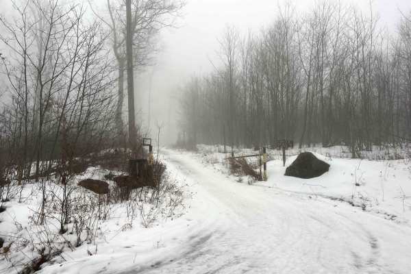
Old Supply Trail
Old Supply Trail is a seasonal access road in Tioga State Forest, which is generally open from early October to Late February. This road serves to connect Goodall Road with Left Asaph Road. It is a minimally maintained dirt road that winds through an otherwise untraveled area of the forest. Expect t...
Learn more about Old Supply Trail

Goodall Road
Goodall Road is an out-and-back road (unless the seasonal connector Old Supply Trail is open) that leads to a relatively high elevation and the site of a former lookout tower. The cabin for the tower still exists and is well-maintained. There are also some picnic tables in a small grove of trees at ...
Learn more about Goodall Road
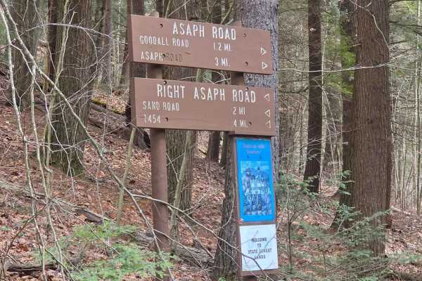
Asaph Run Road
The trail is mostly gravel with dirt. It begins in the town of Asaph and travels northwest to Asaph Run Picnic Area, where it splits into Left and Right Asaph Run Road trails. While this trail is short and fairly easy to travel, there is no winter maintenance with heavy tree cover, causing snow and ...
Learn more about Asaph Run Road
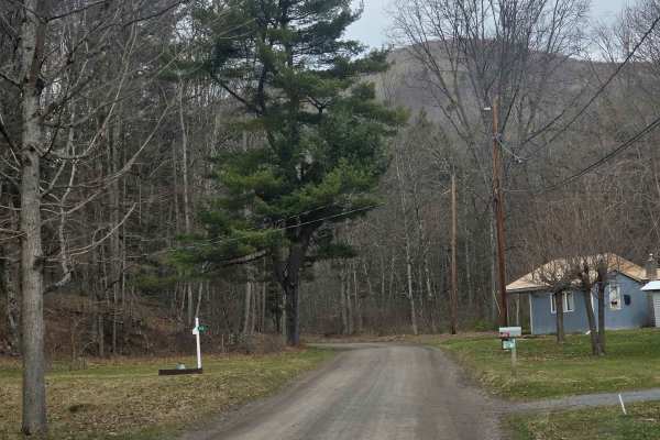
Straight Run Road
This trail begins in the town of Marsh Creek, beginning at the old Fish Hatchery before entering Tioga State Forest and traveling north following Marsh Creek. The trail is composed of dirt and is easy to travel during dry conditions. Steady rain causes overflowing in many of the areas along the cree...
Learn more about Straight Run Road
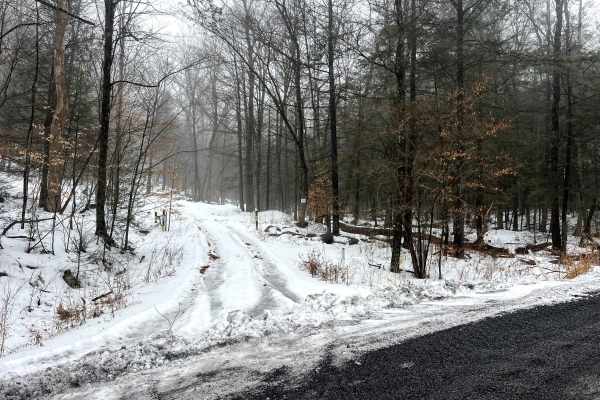
Oak Ridge Trail
Oak Ridge Trail is a seasonal access road in Tioga State Forest, generally open from Early October to Late February. It begins as a mild shelf road up to the switchback, and continues thorugh dense hardwood forest. The trail becomes a wide gravel haul road about 1 mile in. It continues off gravel, f...
Learn more about Oak Ridge Trail

Rock Run Road
This is classified as an "improved dirt road" in Susquehannock State Forest, so expect primarily gravel and packed dirt that, in ideal conditions, will be passable by all vehicles. The trail is southwest of Cherry Springs State Park. This particular trail is not legal for SxS, ATV, etc, at either en...
Learn more about Rock Run Road

Morris Road
This seasonal road does not see much maintenance and is worth the drive. On the west end, the entrance is not marked with a road sign, but there are some great views of the surrounding hills and farms.
Learn more about Morris Road
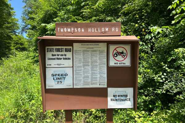
Thompson Hollow Road
Thompson Hollow Road is a well-maintained gravel and dirt forest service road located in Susquehannock State Forest in Coudersport, Pennsylvania. The forest trail is well marked at both entrances. It is wide enough for two vehicles and has great views. There is very little elevation gain and only a ...
Learn more about Thompson Hollow Road
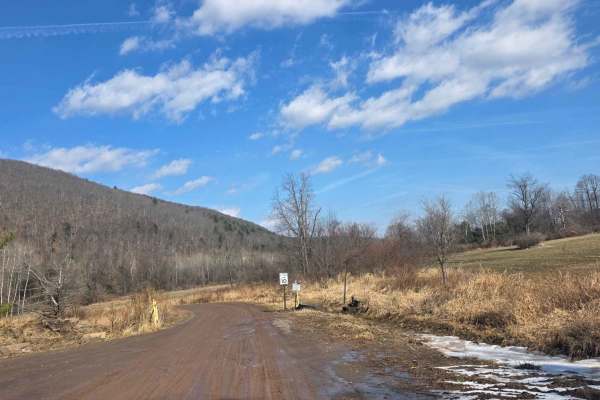
10 Speed
10 Speed is a short trail connecting the Hills Creek Lake area to the Ives Run Lake area. It is mostly comprised of dirt, which is exceptionally muddy during snow melt or rain. The trail follows along Crooked Creek and contains multiple stops to observe the various nature and wildlife preserves main...
Learn more about 10 Speed
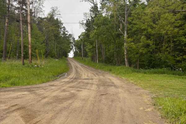
Woodbeck Road
This road is a seasonal road that is not maintained during the Winter months. A natural gas line intersects with the road at its midpoint. The road offers great views or the surrounding hills and farms. This road would be a great addition to anyone looking to see the fall colors.
Learn more about Woodbeck Road
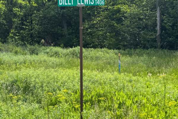
Billy Lewis Road
Billy Lewis Road is primarily a graded gravel road. It is an easy ride in the summer months; however, there is no winter maintenance. During times of rain, snow, and ice, the road can become rutted and harder to travel on. Billy Lewis Road is within Susquehannock State Forest. There are numerous spo...
Learn more about Billy Lewis Road
Beginner ATV trails near Westfield, Pennsylvania
Explore ATV-friendly trails near you. These trails are accessible for vehicles up to 50 inches wide, perfect for ATVs and smaller off-road machines.
10 Speed
10 Speed is a short trail connecting the Hills Creek Lake area to the Ives Run Lake area. It is mostly comprised of dirt, which is exceptionally muddy during snow melt or rain. The trail follows along Crooked Creek and contains multiple stops to observe the various nature and wildlife preserves main...
Learn more about 10 Speed
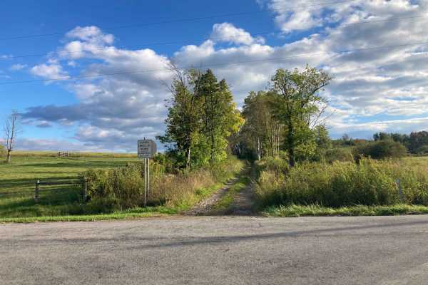
Space Road
This is a short, seasonal road through farmland. There are several large open cornfields, an old abandoned barn, and sections of hardwood forest. This trail connects from County Rt. 4 to County Rt. 1. Often, after heavy rain, the trail can be washed out and be more difficult as water will expose lay...
Learn more about Space Road
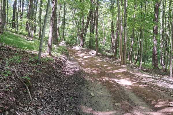
Soy Bean Path Blue
This is a down grade hill that will take you to a road crossing. This trail is slightly off camber with some ruts. Sometime there will be a mud hole at the bottom of the trail. This will be weather depending.
Learn more about Soy Bean Path Blue
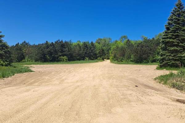
Rock N Chair
This trail will take you up a slight hill with a few dips. This area can be fun at speed allowing you to get a little air. Be mindful that the dips on the back of these bumps can be wet and do have water at times.
Learn more about Rock N Chair
Beginner UTV/side-by-side trails near Westfield, Pennsylvania
Find UTV and side-by-side trails near you. These trails accommodate vehicles up to 60 inches wide, ideal for UTVs, side-by-sides, and wider off-road rigs.
Right Asaph Road
This trail begins off one of the many gas roads intersecting this area of Pennsylvania, beginning as an access road to a small number of private camps before entering the Tioga State Forest. It is composed mainly of dirt, but is maintained with gravel in the southern half of the trail. While not b...
Learn more about Right Asaph Road
Observatory Road
This trail is a dirt road connecting Baldwyn Run Road with Norris Brook Road. The trail is easy to drive in dry conditions, but passes through multiple streams and wet areas, which create a lot of mud, washouts, and rutted areas. The entire trail is plagued with fallen trees due to the soft ground c...
Learn more about Observatory Road
Asaph Run Road
The trail is mostly gravel with dirt. It begins in the town of Asaph and travels northwest to Asaph Run Picnic Area, where it splits into Left and Right Asaph Run Road trails. While this trail is short and fairly easy to travel, there is no winter maintenance with heavy tree cover, causing snow and ...
Learn more about Asaph Run Road
Straight Run Road
This trail begins in the town of Marsh Creek, beginning at the old Fish Hatchery before entering Tioga State Forest and traveling north following Marsh Creek. The trail is composed of dirt and is easy to travel during dry conditions. Steady rain causes overflowing in many of the areas along the cree...
Learn more about Straight Run Road
The onX Offroad Difference
onX Offroad combines trail photos, descriptions, difficulty ratings, width restrictions, seasonality, and more in a user-friendly interface. Available on all devices, with offline access and full compatibility with CarPlay and Android Auto. Discover what you're missing today!
Open Trail Map