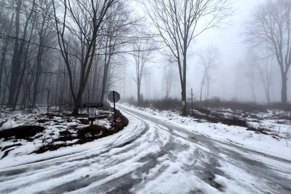
Left Asaph Road

Total Miles4.7
Technical Rating
2Easy
Best TimeSpring, Summer, Fall
Trail TypeFull-Width Road
Accessible By
Open Trail Map

Trail Overview

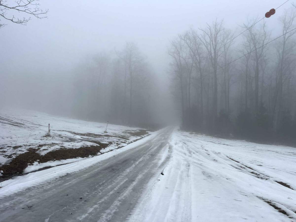
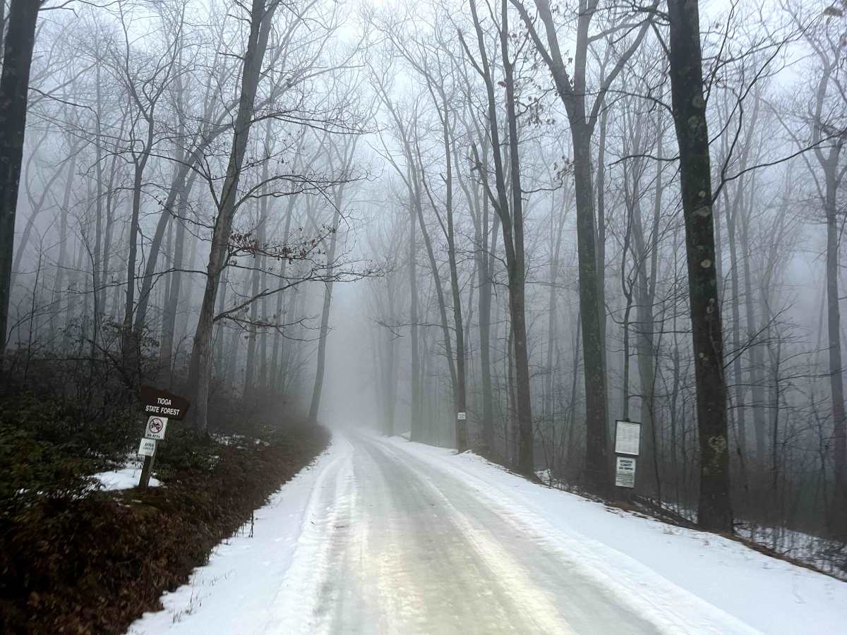
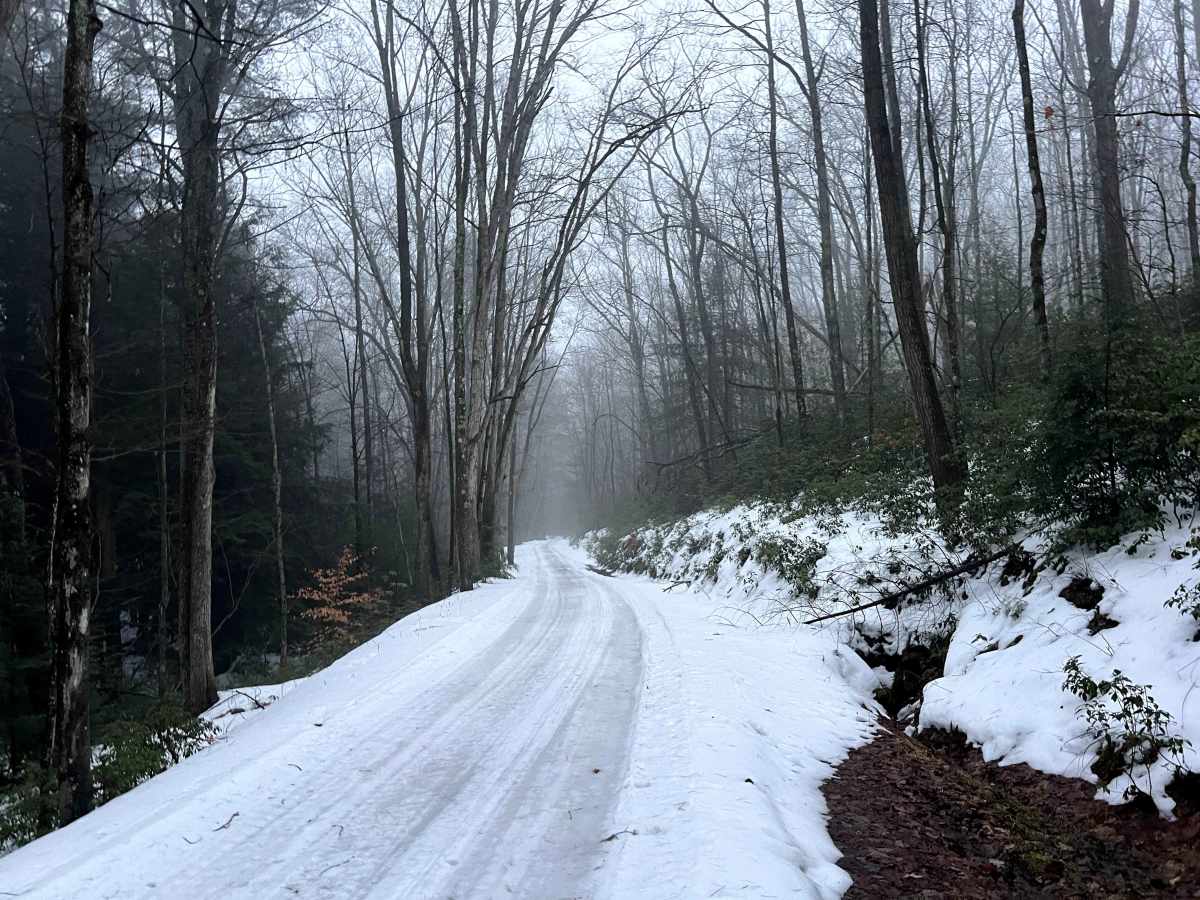
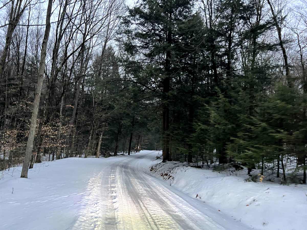
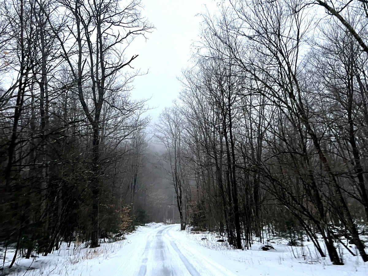
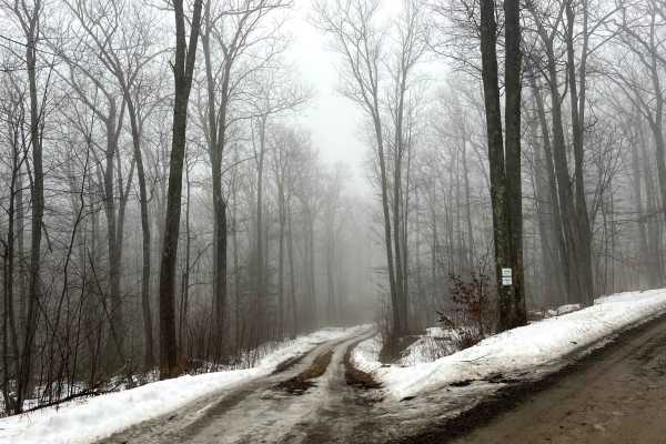
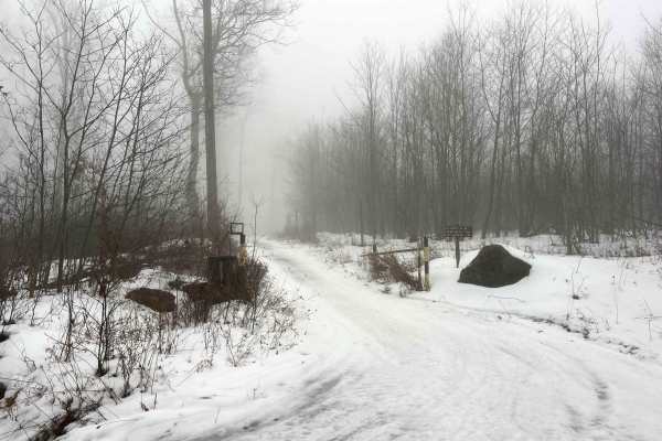
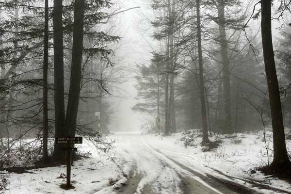
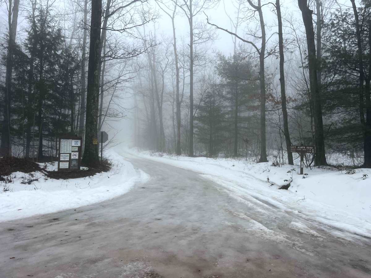
Left Asaph Road connects from Gurnee Road to the intersection of Asaph Run Road and Right Asaph Road. The Asaph Run Picnic area and Campground is at the aforementioned intersection. The restrooms at the picnic area are open during the warm seasons. The road is well-maintained gravel and wide enough to pass carefully. There are numerous opportunities to pull off and access the multiple creeks that parallel or intersect the road. There are two reservable state forest camp sites near the middle of the route. Do not expect the road to be maintained in winter.

Photos of Left Asaph Road

Difficulty

Left Asaph Road is a well-maintained, wide gravel road with no winter maintenance.

Technical Rating

2

Left Asaph Road Trail can be accessed by the following ride types:

  • High Clearance
  • Full Width

Left Asaph Road Map

The onX Offroad Difference

onX Offroad combines trail photos, descriptions, difficulty ratings, width restrictions, seasonality, and more in a user-friendly interface. Available on all devices, with offline access and full compatibility with CarPlay and Android Auto. Discover what you're missing today!

Open Trail Map