
Beginner Off-Road Trails
Near Watha, North Carolina
Explore All Beginner Trails Near Watha, North Carolina
Beginner Off-Road Trails Near Watha, North Carolina
Discover the best beginner-friendly off-road trails near you. These easier, lower-rated trails are a great place to start — browse trail maps, check difficulty ratings, and find your next adventure.
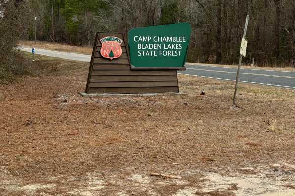
Camp Chamblee
This is a State Forest road that takes you directly to Camp Chamblee, a dispersed camping area within the State Forest. The road is a well-maintained dirt road suitable for any vehicle. Camping is free, however, you are required to call the ranger station to let them know you are camping. They can b...
Learn more about Camp Chamblee

Crooked Road
Crooked Road is primarily a hard-packed double-track road that provides access to the Croatan National Forest game lands. Coming from Tootle Road and taking a left at the intersection, will lead to the highway, although there is a fence blocking the way. This is about a half-mile section and is a li...
Learn more about Crooked Road
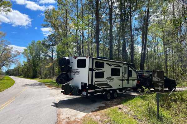
Dixon Fields
Dixon Fields is an upper White Oak River access point in Croatan National Forest. To access this small patch of public property, you will pass through mostly private property to get there. Once turning off into Croatan National Forest, the trail becomes much narrower and riddled with deep potholes. ...
Learn more about Dixon Fields
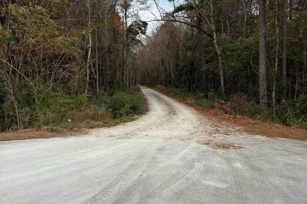
Tootle Road
Tootle Road can allow access about to two miles of trail and an abundance of hunting grounds. Most of Tootle Rd is a wide dirt double-track road that provides access to hunting grounds within the Croatan National Forest. The first two miles of the trail are this wide road, which can be driven quickl...
Learn more about Tootle Road
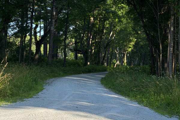
Haywood Landing - FS 146
A nice scenic drive onto a well-maintained gravel road, this area is located in the Croatan National Forest and has gamelands for hunting and fishing. This road leads to a parking area where you can release kayaks or boats into the White Oak River, with public restrooms available.
Learn more about Haywood Landing - FS 146
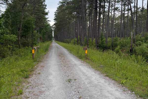
Hill Field - FS 603
Pulling onto Hill Field Road from Highway 58, you will be met with a gravel road and an open gate allowing access to this trail. It flat and smooth from beginning to end and might have to pull off onto the side to allow others to pass through. At the end will be a parking area for hunters during the...
Learn more about Hill Field - FS 603
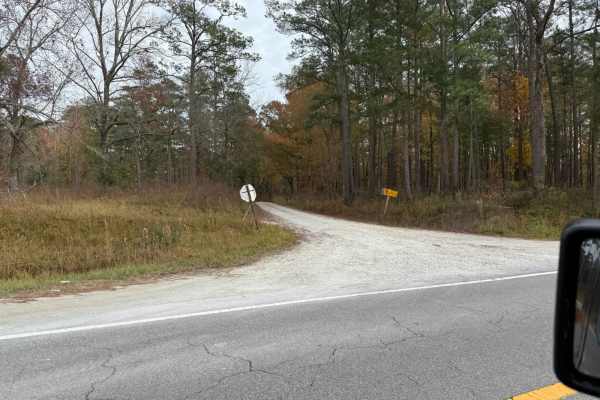
Holston Creek
Holston Creek is a hard-pack gravel road in the Croatan National Forest. It provides access to large amounts of game land, additional roads in the national forest, and potential for wildlife depending on timing. The road can be accessed by nearly any type of street-legal vehicle, however, be cautiou...
Learn more about Holston Creek
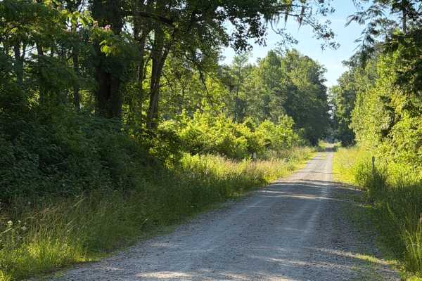
Collins Road - FS 146A
Turning off of Hill Field, you will access Collins Road, which is mainly flat from end to end. You may have to pull off for others to pass, but this road is part of the Croatan Gamelands. This is where hunters might be seen occasionally from the road or woods.
Learn more about Collins Road - FS 146A
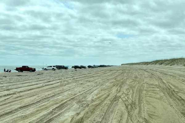
Fort Fisher State Recreation Area 4x4 Beach
The sand at Fort Fisher is soft, deep, and quite rutted, requiring four-wheel drive. Airing tires down to 18 to 20 psi is recommended, especially when sand conditions are hot and dry. Annual or day passes are available at the park entrance from the Park Rangers. This trail has fantastic ocean views ...
Learn more about Fort Fisher State Recreation Area 4x4 Beach
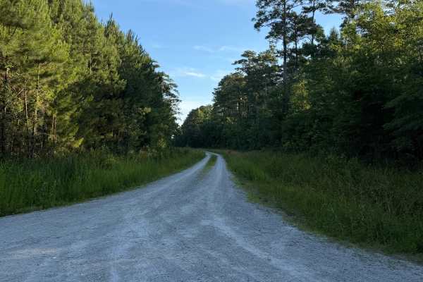
Mattocks - FS 606
Coming up onto the trail off of Mirey Branch, you will be met with a gravel road that stretches over 3.2 miles of flat gravel terrain. The road was clear from beginning to end, with no obstructions, fallen trees, washouts, or other hazards blocking travel at any point along the route. It appeared we...
Learn more about Mattocks - FS 606
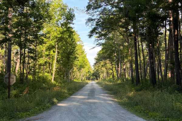
Loopy - FS 157
A well-maintained gravel road that leads to the Haywood Landing. This is located in the Croatan National Forest with a gameland surrounding the area. This section may get busy with the boat access down the road, but with enough room to pull to the side, others can safely get through. No hard bumps o...
Learn more about Loopy - FS 157
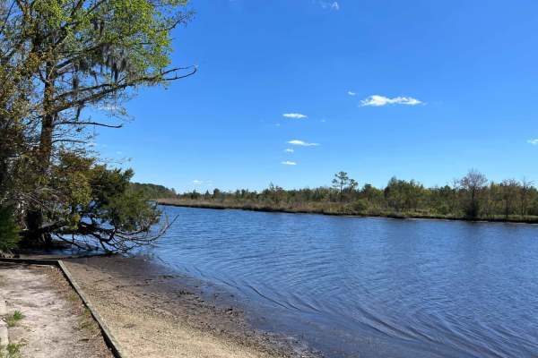
Long Point
Long Point is an easy, scenic coastal corridor in North Carolina's Croatan National Forest, perfect for beginners, families, and outdoor enthusiasts looking for direct access to the scenic White Oak River. Stretching approximately 2.3 miles through flat coastal woodlands, this wide, well-maintained ...
Learn more about Long Point
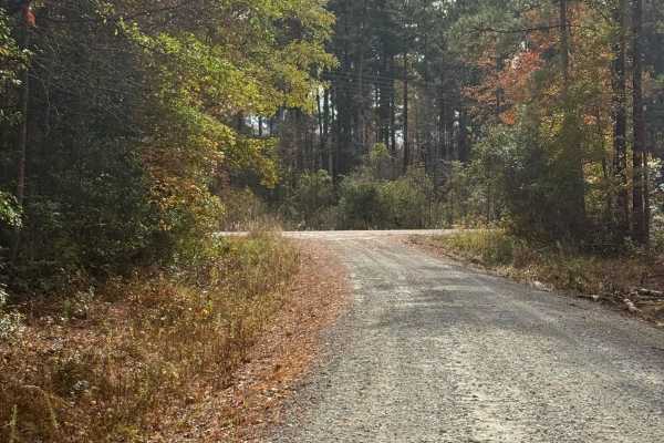
Mirey Branch
Mirey branch is a hard-packed road that allows access to a vast amount of Croatan National Forest game land. The road connects to several side trails that lead to different areas of the forest. Wildlife can be spotted periodically depending on the timing and traffic levels. The road can be driven ra...
Learn more about Mirey Branch

Morton Field
Morton Field Trail is a hard-packed road that provides access to game land in the Croatan National Forest, potential shooting ranges, and a wooden bridge over a stream. Because of the national forest, wildlife can be seen depending on the time. Morton Field seems to be a trailhead for a small 50" tr...
Learn more about Morton Field
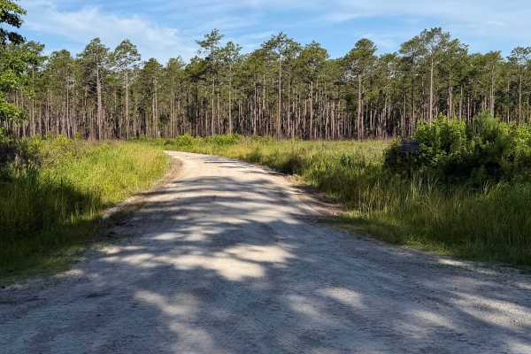
Belangia - FS 163
Coming up onto the trail, the trail consists of dirt and sand packed down, but it makes for a smooth, comfortable ride. The path makes enough room for passable vehicles to pass each other without stopping and moving over. Plenty of wildlife can be seen while approaching a recently timbered off area ...
Learn more about Belangia - FS 163

Southwest Croatan National Forest Loop
This loop consists of several National Forest Service roads within the southwestern portion of the Croatan National Forest. Following Service Roads 199, 166, 3014, 176, 175, and 144, you will encounter well-maintained gravel roads accessible by any vehicle with minimal to no obstacles to encounter. ...
Learn more about Southwest Croatan National Forest Loop
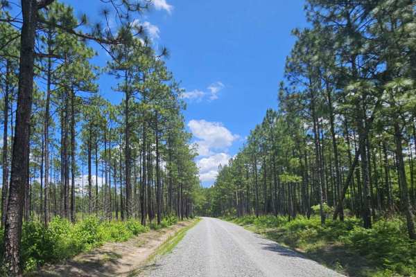
Great Lake Road (126)
Great Lake Road travels through Croatan National Forest, ending at Great Lake. This route is well-maintained and passable by any vehicle. While traveling the route, drivers will cross several small wooden bridges that cross small water streams that show age but are stable. Where the road ends, there...
Learn more about Great Lake Road (126)

Holland Point
Holland Point is a scenic 1.1-mile out-and-back coastal trail ideal for beginners, families, and anyone seeking a relaxed drive with scenic water views and wildlife viewing opportunities near Cape Carteret, North Carolina. Winding through a dense coastal forest, this flat route offers a straightforw...
Learn more about Holland Point
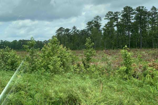
Holston Hunter Trail
This easy off-road trail is located on the western side of the Croatan National Forest. Obstacles include a few potholes, and the trail is mostly gravel. There is one small muddy area that might be trouble for low-clearance vehicles after heavy rains. There is also a water crossing, but it has a con...
Learn more about Holston Hunter Trail
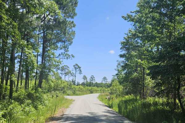
Millis Road (128)
Millis Road (128) crosses Croaton National Forest between Whitehouse Fork Road and Nine Mile Road. This route is generally maintained and offers a nice scenic drive for any vehicle or driver. While the road is well maintained, portions of large potholes should be watched closely to avoid any mishaps...
Learn more about Millis Road (128)
Beginner ATV trails near Watha, North Carolina
Explore ATV-friendly trails near you. These trails are accessible for vehicles up to 50 inches wide, perfect for ATVs and smaller off-road machines.
Hill Field - FS 603
Pulling onto Hill Field Road from Highway 58, you will be met with a gravel road and an open gate allowing access to this trail. It flat and smooth from beginning to end and might have to pull off onto the side to allow others to pass through. At the end will be a parking area for hunters during the...
Learn more about Hill Field - FS 603
Holston Hunter Trail
This easy off-road trail is located on the western side of the Croatan National Forest. Obstacles include a few potholes, and the trail is mostly gravel. There is one small muddy area that might be trouble for low-clearance vehicles after heavy rains. There is also a water crossing, but it has a con...
Learn more about Holston Hunter Trail
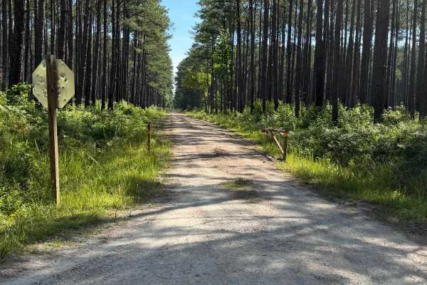
Briery Branch - FS 122
Started off as a nice dirt road, then slowly transitions to small mud holes on both sides of the trail. Shortly after, you will come to the end that is gated and marked with numerous private property signs. There are no signs of dispersed camping located on this trail.
Learn more about Briery Branch - FS 122
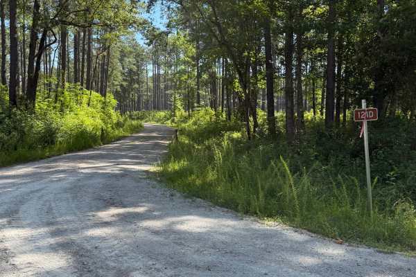
Brown Road - FS 121D
Can be accessed from Middle Little Road or Catfish Lake Road. This gravel road is fairly well maintained and has enough room for passing vehicles to get by. A gate is located in the middle of the trail off to the side that leads to private residence. A variety of different vehicles can travel this r...
Learn more about Brown Road - FS 121D
Beginner UTV/side-by-side trails near Watha, North Carolina
Find UTV and side-by-side trails near you. These trails accommodate vehicles up to 60 inches wide, ideal for UTVs, side-by-sides, and wider off-road rigs.
Hill Field - FS 603
Pulling onto Hill Field Road from Highway 58, you will be met with a gravel road and an open gate allowing access to this trail. It flat and smooth from beginning to end and might have to pull off onto the side to allow others to pass through. At the end will be a parking area for hunters during the...
Learn more about Hill Field - FS 603
Mattocks - FS 606
Coming up onto the trail off of Mirey Branch, you will be met with a gravel road that stretches over 3.2 miles of flat gravel terrain. The road was clear from beginning to end, with no obstructions, fallen trees, washouts, or other hazards blocking travel at any point along the route. It appeared we...
Learn more about Mattocks - FS 606
Holston Hunter Trail
This easy off-road trail is located on the western side of the Croatan National Forest. Obstacles include a few potholes, and the trail is mostly gravel. There is one small muddy area that might be trouble for low-clearance vehicles after heavy rains. There is also a water crossing, but it has a con...
Learn more about Holston Hunter Trail
Briery Branch - FS 122
Started off as a nice dirt road, then slowly transitions to small mud holes on both sides of the trail. Shortly after, you will come to the end that is gated and marked with numerous private property signs. There are no signs of dispersed camping located on this trail.
Learn more about Briery Branch - FS 122
The onX Offroad Difference
onX Offroad combines trail photos, descriptions, difficulty ratings, width restrictions, seasonality, and more in a user-friendly interface. Available on all devices, with offline access and full compatibility with CarPlay and Android Auto. Discover what you're missing today!
Open Trail Map