MST 2

Total Miles1.3
Technical Rating
1Easy
Best TimeSpring, Summer, Fall, Winter
Trail TypeFull-Width Road
Accessible By
Open Trail Map

Trail Overview

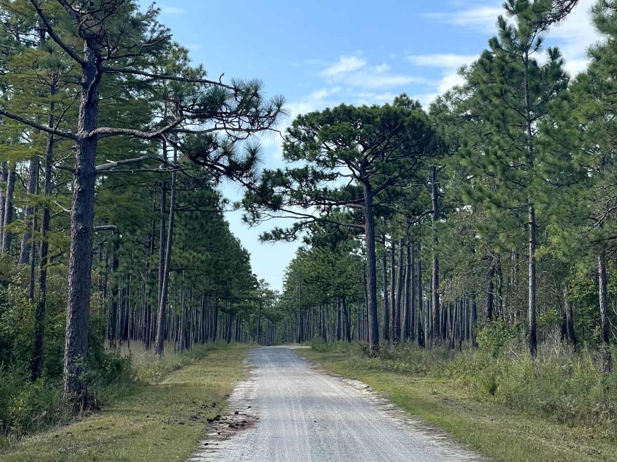
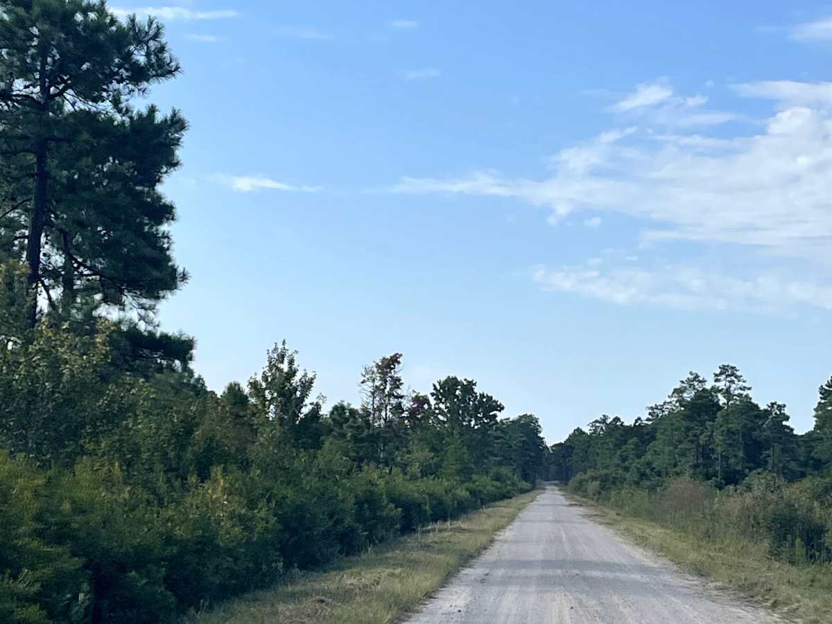
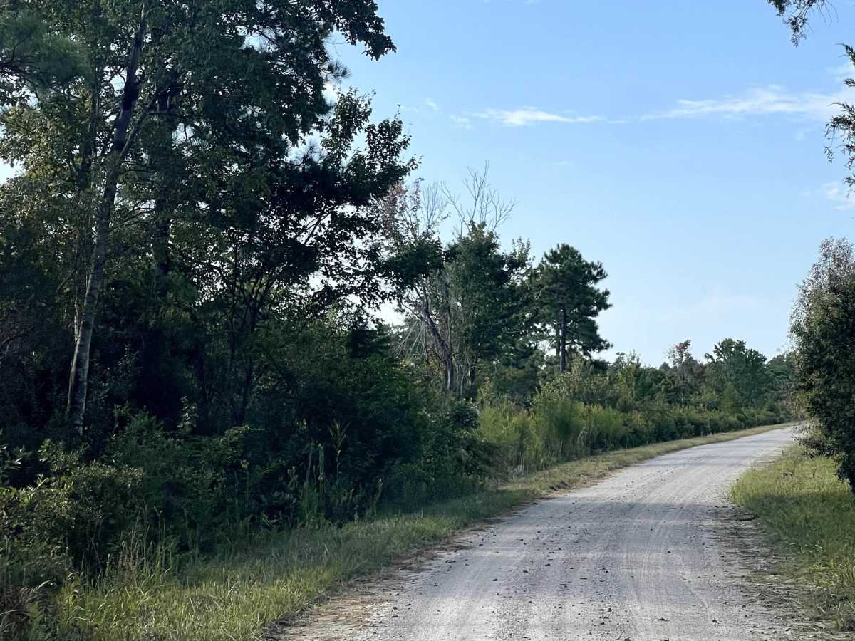
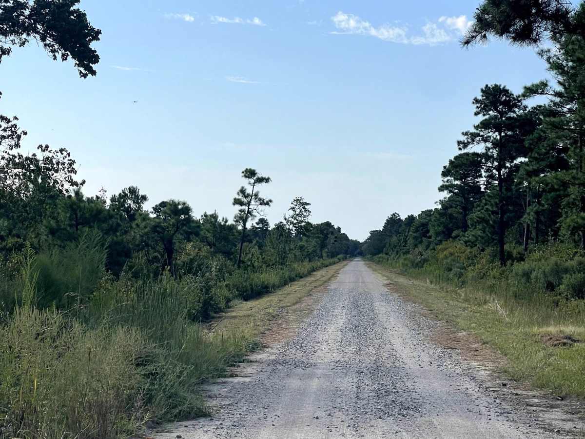
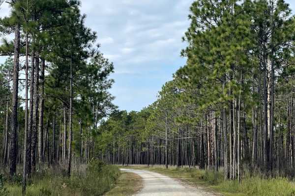
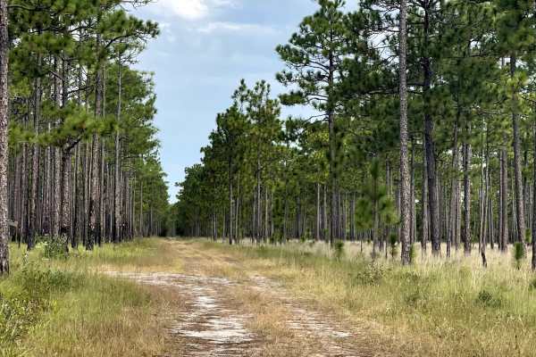
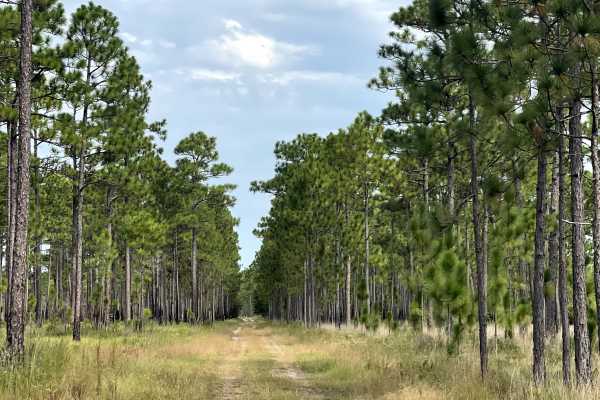
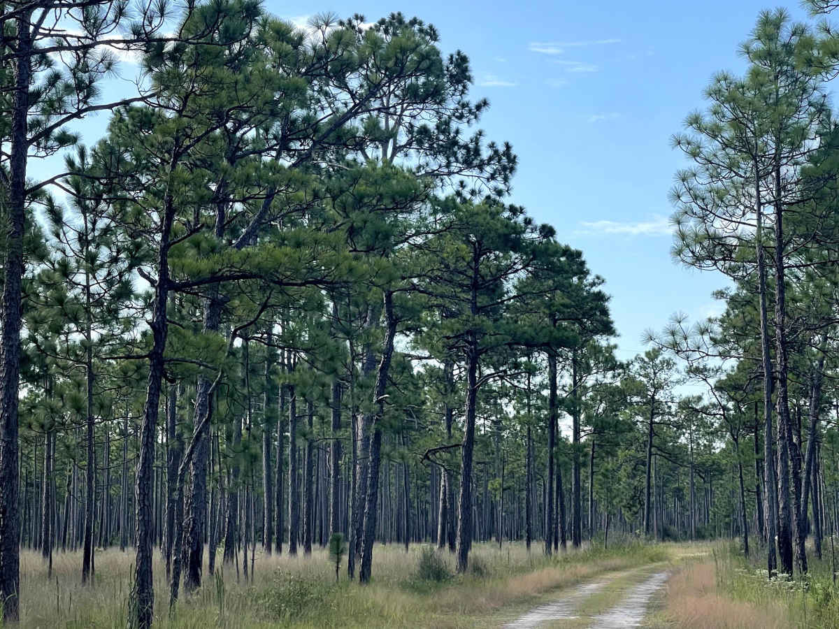
MST 2 is accessed from the end of MST 1 and continues the journey through the surrounding state game lands. This trail provides users with additional access to the area and can easily be combined with MST 1 and nearby routes for a longer day of exploration. MST 2 is approximately two lanes wide and is generally free from major obstacles, making it a straightforward drive under normal conditions. The trail surface consists primarily of gravel with occasional sections of hard-packed dirt, providing a relatively smooth and predictable route. Most vehicles should have little difficulty traveling MST 2 when conditions are dry. As with other unpaved trails in the area, weather can affect surface conditions, so users should remain aware of possible standing water or softer sections following periods of heavy rain.

Photos of MST 2

Difficulty

This is an easy, well-maintained trail.

Technical Rating

1

MST 2 Trail can be accessed by the following ride types:

  • Single Track
  • High Clearance
  • Full Width

MST 2 Map

The onX Offroad Difference

onX Offroad combines trail photos, descriptions, difficulty ratings, width restrictions, seasonality, and more in a user-friendly interface. Available on all devices, with offline access and full compatibility with CarPlay and Android Auto. Discover what you're missing today!

Open Trail Map