
Beginner Off-Road Trails
Near Vann Crossroads, North Carolina
Explore All Beginner Trails Near Vann Crossroads, North Carolina
Beginner Off-Road Trails Near Vann Crossroads, North Carolina
Discover the best beginner-friendly off-road trails near you. These easier, lower-rated trails are a great place to start — browse trail maps, check difficulty ratings, and find your next adventure.
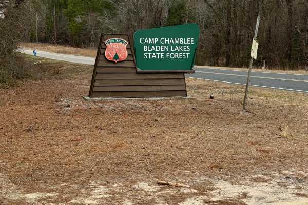
Camp Chamblee
This is a State Forest road that takes you directly to Camp Chamblee, a dispersed camping area within the State Forest. The road is a well-maintained dirt road suitable for any vehicle. Camping is free, however, you are required to call the ranger station to let them know you are camping. They can b...
Learn more about Camp Chamblee
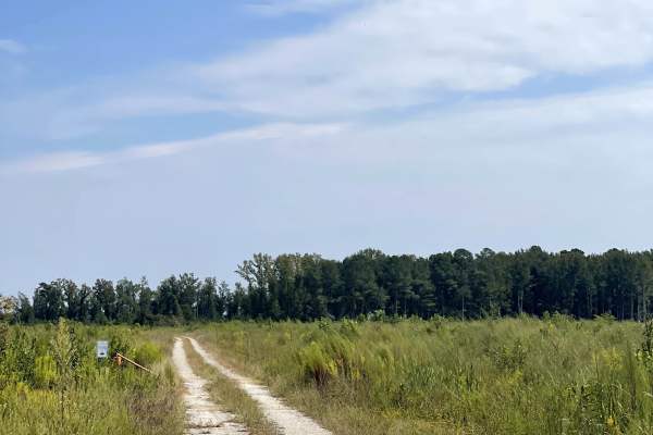
Williams Road
Williams Road provides users with another convenient entrance into the surrounding state game lands trail network. Unlike some of the routes that require traveling through other trails before reaching them, Williams Road can be accessed directly from the main road, making it an easy starting or endi...
Learn more about Williams Road
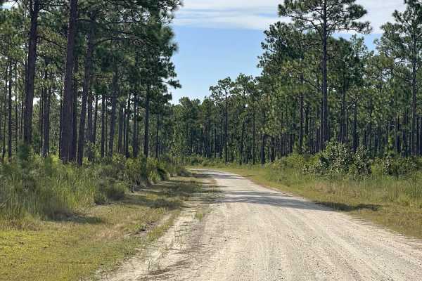
Bear Track
Bear Track provides users with access to the northern terminus of the state game lands and serves as a convenient entry or exit point for exploring the surrounding trail network. The trail is approximately two lanes wide and consists primarily of a maintained gravel surface, providing plenty of room...
Learn more about Bear Track
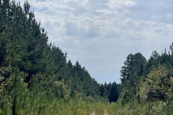
Long Ridge Road
Long Ridge Road is another enjoyable route within the surrounding state game lands and provides users with an additional trail option near the northern entrance of the network. This makes it easy to incorporate Long Ridge Road into a longer route when entering or leaving the northern side of the gam...
Learn more about Long Ridge Road
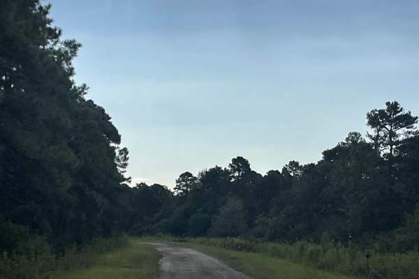
MST 1
MST 1 is an extensive trail that provides users with access to the surrounding state game lands and serves as a major route for exploring the area. The trail is approximately two lanes wide throughout much of its length and features a mixture of gravel and hard-packed dirt. Under normal conditions, ...
Learn more about MST 1
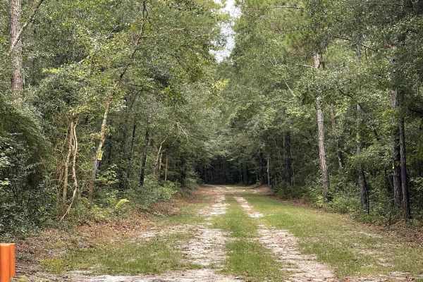
River Road
River Road provides users with access to the nearby state game lands and offers an easy drive through the surrounding coastal landscape. The trail is generally free from major obstacles, although portions can be somewhat rough due to exposed tree roots protruding through the trail surface. Drivers s...
Learn more about River Road
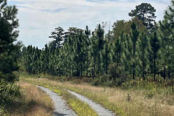
Lonesome Pine
Lonesome Pine is another enjoyable route through the surrounding state game lands and provides users with access to several additional trails within the larger network. The route features a mixture of wider maintained sections and narrower two-track terrain, creating some variety as users travel thr...
Learn more about Lonesome Pine
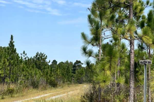
McCoy Road
McCoy Road is accessed from Bear Track and provides users with another route for exploring the northern portion of the state game lands. The trail begins as a wider, maintained road approximately two lanes wide, providing an easy and comfortable drive for most vehicles. As users progress farther alo...
Learn more about McCoy Road
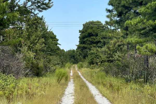
Hines Kiln Road
Hines Kiln Road provides users with another enjoyable route through the surrounding state game lands and features a mixture of wider maintained road and narrower two-track terrain. The trail begins with plenty of room for vehicles to comfortably travel before gradually becoming tighter as users cont...
Learn more about Hines Kiln Road

Ella Mae Road
Ella Mae Road is another enjoyable route through the surrounding state game lands and features a combination of wider maintained roadway and narrower two-track terrain. The trail is generally well maintained and free from major obstacles, making it a relatively easy drive under normal conditions. As...
Learn more about Ella Mae Road
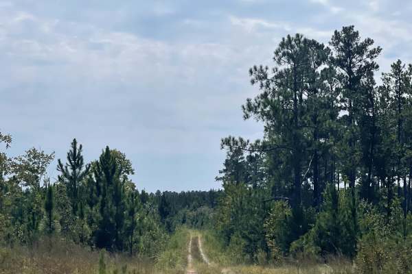
Elmur Road
Elmur Road provides users with another enjoyable route through the surrounding state game lands and runs in the opposite direction from several of the nearby connecting trails. The route features a mixture of wider maintained roadway and narrower two-track terrain, offering some variety as users tra...
Learn more about Elmur Road
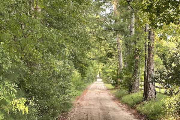
Lillington Lane
Lillington Lane is an out-and-back trail consisting primarily of hard-packed silty sand and is approximately two lanes wide throughout most of the route. The trail is generally free from major obstacles and should be suitable for most vehicles under normal conditions. Users should expect sections of...
Learn more about Lillington Lane
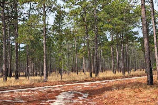
Carpenter Road
Carpenter Road is a short connector between State Route 15 and Strausburg Lane, providing access from pavement to the southeastern portion of the game lands. The road is predominantly a double-track trail, with some narrower sections consisting of loose sand and the potential for mud, while the west...
Learn more about Carpenter Road
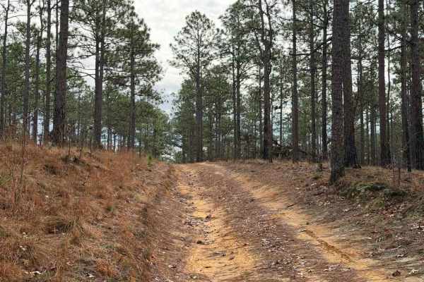
Strausburg Lane
Strausburg Lane is a poorly maintained forest road that has gradually deteriorated into an easy-to-moderate trail. Numerous puddles and small water crossings are scattered along the route, some of which may have soft bottoms. Depending on recent rainfall, these crossings can range from shallow puddl...
Learn more about Strausburg Lane

MST 2
MST 2 is accessed from the end of MST 1 and continues the journey through the surrounding state game lands. This trail provides users with additional access to the area and can easily be combined with MST 1 and nearby routes for a longer day of exploration. MST 2 is approximately two lanes wide and ...
Learn more about MST 2
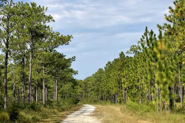
Trumpster Road
Trumpster Road is a well-maintained route that provides users with another easy opportunity to explore the surrounding trail network. The road remains approximately two lanes wide throughout much of its length, providing plenty of room for vehicles to comfortably navigate the route and pass other us...
Learn more about Trumpster Road

Tram Road
Tram Road is a long, well-maintained route that provides users with an easy and enjoyable drive through the surrounding area. The trail remains approximately two lanes wide throughout much of its length, providing plenty of room for vehicles to comfortably navigate the route. The surface is generall...
Learn more about Tram Road

MST 15
MST 15 provides users with another well-maintained route through the surrounding state game lands and serves as an easy addition to the larger trail network. The trail consists primarily of hard-packed gravel and remains approximately two lanes wide throughout much of the route, providing plenty of ...
Learn more about MST 15
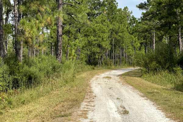
MST 13
MST 13 is another well-maintained route within the surrounding trail system and serves as an important access point for users exploring the area. Depending on the direction of travel, MST 13 can either lead users into the larger trail network or provide a convenient route back out after a day of exp...
Learn more about MST 13
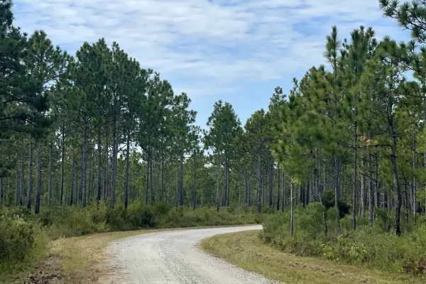
MST 14
MST 14 is another well-maintained route that provides users with continued access to the surrounding state game lands and the extensive network of trails found throughout the area. The trail consists primarily of hard-packed gravel and remains approximately two lanes wide, providing plenty of room f...
Learn more about MST 14
Beginner ATV trails near Vann Crossroads, North Carolina
Explore ATV-friendly trails near you. These trails are accessible for vehicles up to 50 inches wide, perfect for ATVs and smaller off-road machines.
Beginner UTV/side-by-side trails near Vann Crossroads, North Carolina
Find UTV and side-by-side trails near you. These trails accommodate vehicles up to 60 inches wide, ideal for UTVs, side-by-sides, and wider off-road rigs.
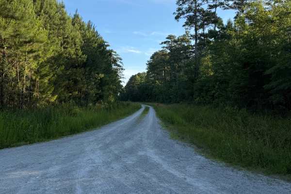
Mattocks - FS 606
Coming up onto the trail off of Mirey Branch, you will be met with a gravel road that stretches over 3.2 miles of flat gravel terrain. The road was clear from beginning to end, with no obstructions, fallen trees, washouts, or other hazards blocking travel at any point along the route. It appeared we...
Learn more about Mattocks - FS 606
The onX Offroad Difference
onX Offroad combines trail photos, descriptions, difficulty ratings, width restrictions, seasonality, and more in a user-friendly interface. Available on all devices, with offline access and full compatibility with CarPlay and Android Auto. Discover what you're missing today!
Open Trail Map