
Beginner Off-Road Trails
Near Twin Creeks, Montana
Explore All Beginner Trails Near Twin Creeks, Montana
Beginner Off-Road Trails Near Twin Creeks, Montana
Discover the best beginner-friendly off-road trails near you. These easier, lower-rated trails are a great place to start — browse trail maps, check difficulty ratings, and find your next adventure.
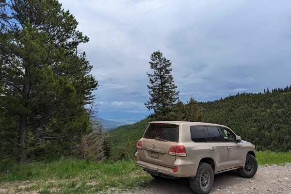
East Twin Creek Road 2117 (To Sheep Mountain hiking Trailhead)
This trail is an easy track that climbs up Sheep Mountain while gaining a lot of elevation. The trail is wide until you reach the upper portion where passing becomes more difficult. There is a parking area at the hiking trailhead. The trail starts at about 3,500 Ft in elevation and climbs to almost ...
Learn more about East Twin Creek Road 2117 (To Sheep Mountain hiking Trailhead)
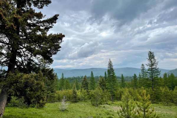
East Fork Rattlesnake
This easy trail heads straight up into the mountains from the valley below. The first mile and a half crosses through private property, so please be respectful and stick to the trail. Once past the private land, the trail twists and turns into the mountains. The trail eventually ends at a line of T-...
Learn more about East Fork Rattlesnake
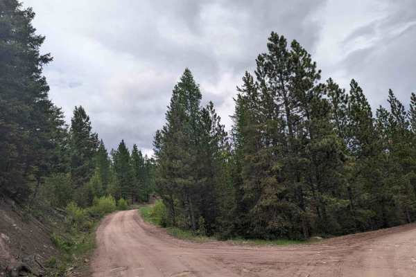
2103 West Fork Gold Creek
This trail starts as a spur off of Gold Creek road just before the locked gate at mile 7 bridge. The trail is a fairly high use road that was built for logging trucks so even after a week of rain most AWD vehicles should be okay. No deep mud or ruts exist. Pictured are the couple of muddy spots or s...
Learn more about 2103 West Fork Gold Creek
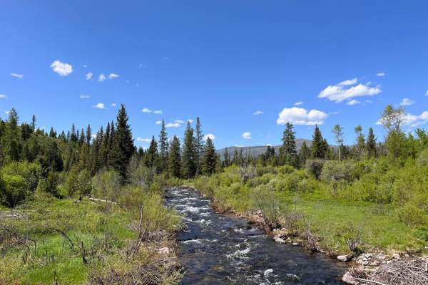
Gold Creek to 7 Mile Bridge
This is an easy dirt trail out to the 7 Mile Bridge. There is a locked gate at the bridge, but one can continue on foot across, and there is a nice dispersed campsite on the other side to the right. The campsite is tucked off in the trees with a view of the river and a nice rock fire ring. The river...
Learn more about Gold Creek to 7 Mile Bridge
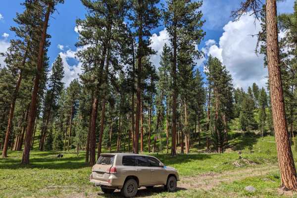
Gold Creek Trail 126 (Seasonal Access)
At mile 7 of Gold Creek, you reach a bridge with a BLM gate. (This gate is closed during certain times of the year by the BLM for the bear population to breed.) It's open in winter and closes in Spring. It re-opens about June 15th, but the date is set each year by the BLM and changes. As you cross t...
Learn more about Gold Creek Trail 126 (Seasonal Access)
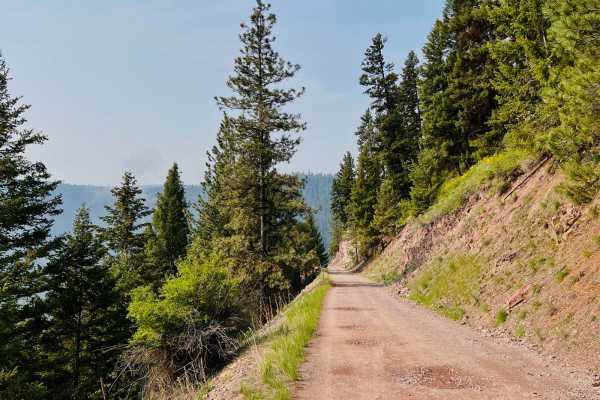
Ninemile Prairie East
This route is a beautiful, scenic excursion with amazing views of the Blackfoot River. This trail is a fun way to connect two sections of paved roads. One end begins or ends at the Whittaker Bridge. The bridge is one lane across and is quite a sight to see. The Whitaker Bridge has an excellent put-i...
Learn more about Ninemile Prairie East
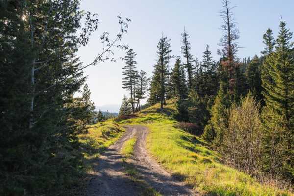
Forest Service (FS) #2127-1
Forest Service (FS) #2127-1 is open from 5/16 to 11/30. The 7.3-mile drive along the rugged forest service road is an adventurous and scenic journey. Steep mountainsides offer thrilling moments and breathtaking views of the skyline that make it worthwhile. Despite the rough terrain, cell phone servi...
Learn more about Forest Service (FS) #2127-1
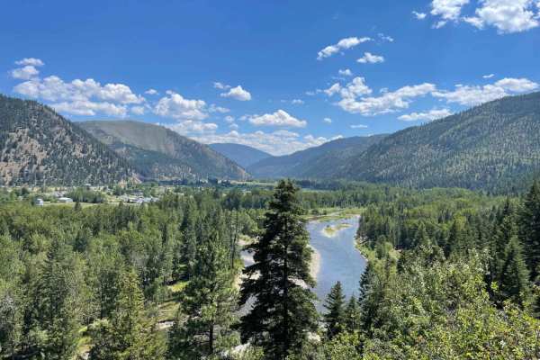
Verdy Moccasin Ridge
This moderate shelf road leads from the valley below near Connor and heads up into the Sapphire Mountains. The beginning is a shelf road with a steep dropoff with tight turns, loose rocky switchbacks, and ever-changing outstanding views of the valley as you make your ascent. There are a few pullouts...
Learn more about Verdy Moccasin Ridge
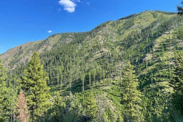
West Fork Schwartz Creek
This is not the super smooth, easy way into the Sapphire Mountain Range. This trail is rocky, with a few tight corners and a steep climb. There are a few spots with a nice view, but it's more of an access road with no real camping options. There are one to two bars of Verizon LTE service if you have...
Learn more about West Fork Schwartz Creek
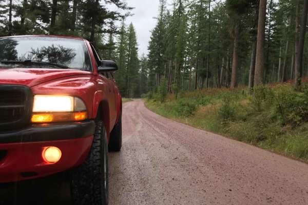
Larch Camp Road
Located within the scenic Lolo National Forest in the South Hills area, this 1.6-mile unpaved route is perfect for any standard passenger vehicle, requiring no special off-road modifications. The trail climbs gently from an elevation of approximately 3,860 feet to a peak of 4,315 feet, offering a mo...
Learn more about Larch Camp Road
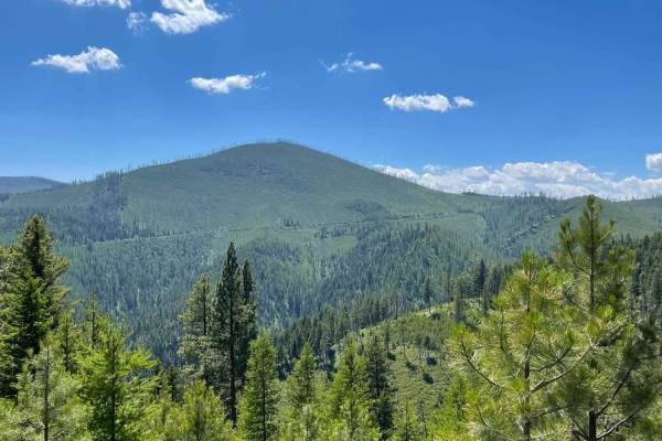
West Holloman Schwartz
West Holloman Schwartz is a scenic ridge-top route ideal for beginner offroaders, overland campers, and those driving high-clearance four-wheel-drive vehicles or SxSs looking for sweeping mountain views. Spanning approximately 4.8 miles with a mild elevation gain of around 778 feet, this trail winds...
Learn more about West Holloman Schwartz
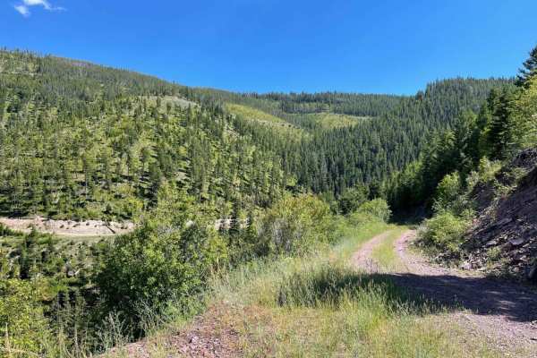
West Greenough
This easy out-and-back passes by a great shooting range spot carved into the hillside about a third of the way along the trail. There are tight turns and muddy puddles from all the little springs that bubble up along the trail. Watch for boulders that roll down the cliffside, as they could be hiding...
Learn more about West Greenough
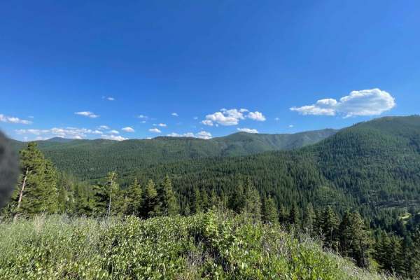
Middle Fork Schwartz
Middle Fork Schwartz is an ideal route for scenic explorers, dirt bikers, and four-wheel-drive enthusiasts seeking stunning views of the Sapphire Mountains without high-difficulty obstacles. Running roughly 5.3 miles between Holloman Saddle and Schwartz Creek, this dirt track descends approximately ...
Learn more about Middle Fork Schwartz
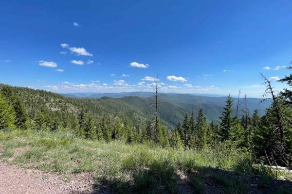
Miller Peak
This peak tower access road starts with some loose rocky, rutted, steep, and longer duration climbs. There are also a few rainwater diverting hills. Once those are out of the way, the trail is relatively easy, with tight turns and some rocky sections. A few spots collect water and end up with larger...
Learn more about Miller Peak
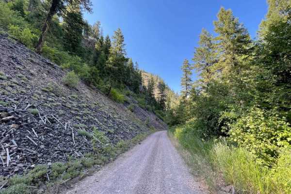
Schwartz Creek
Schwartz Creek offers an exceptionally smooth and straightforward climb into the scenic Sapphire Mountains, making it the perfect route for beginners, scenic cruisers, or those looking for an effortless mountain drive. Spanning approximately 5.2 miles, this well-maintained dirt trail features a gent...
Learn more about Schwartz Creek
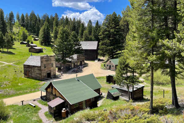
Garnet Ghost Town
This very potholed and deeply washboard trail leads from the beginning of the dirt section to Montana's best-preserved Ghost Town, Garnet. This site features some of the best-kept historical buildings of its kind. The trail ends at the parking area, and a three-dollar fee per person is well worth it...
Learn more about Garnet Ghost Town
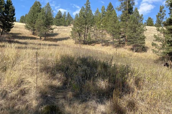
Placid Creek Road
This is a short side spur off of the Jocko Road that takes just under 30 minutes. The land on either side is private property with signs posted. There are no pull-offs or camping in this area with limited views. Cell services is also limited in this specific area.
Learn more about Placid Creek Road
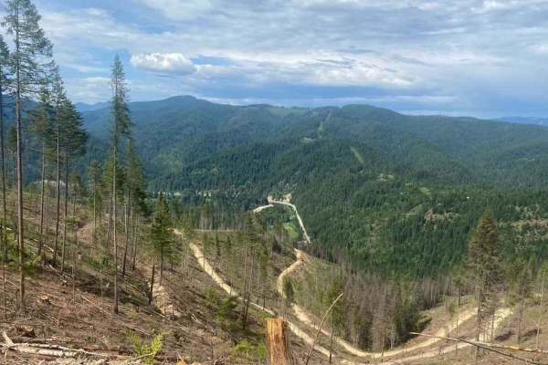
620 Character Ridge Road
This road winds along Character Ridge from Moon Saddle and down to the North Fork Coeur d'Alene River. Active logging operations have expanded and improved the existing road with new grading and plenty of room for two vehicles to pass. Keep an eye out for logging trucks and good luck keeping the dus...
Learn more about 620 Character Ridge Road
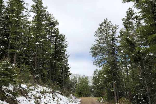
Blue Mountain
Be sure to start your day with a round of frisbee golf at the Blue Mountain Disc Golf Course before continuing up Blue Mountain to find incredible vistas of the Missoula valley. The road is well maintained gravel with some deeper potholes and jagged rocks but be prepared to run into snow during the ...
Learn more about Blue Mountain
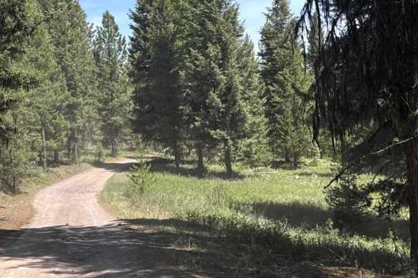
Tupper Lake/River View Road
This 2.5-mile route offers a different alternative into the Seeley Lake area on a gravel road and through the trees. If you blink, you could miss the smaller 16-acre lake that was once stocked with Rainbow Trout, which is mostly blocked by the trees. Only a few decent campsites are found on the trai...
Learn more about Tupper Lake/River View Road
Beginner ATV trails near Twin Creeks, Montana
Explore ATV-friendly trails near you. These trails are accessible for vehicles up to 50 inches wide, perfect for ATVs and smaller off-road machines.
East Twin Creek Road 2117 (To Sheep Mountain hiking Trailhead)
This trail is an easy track that climbs up Sheep Mountain while gaining a lot of elevation. The trail is wide until you reach the upper portion where passing becomes more difficult. There is a parking area at the hiking trailhead. The trail starts at about 3,500 Ft in elevation and climbs to almost ...
Learn more about East Twin Creek Road 2117 (To Sheep Mountain hiking Trailhead)
East Fork Rattlesnake
This easy trail heads straight up into the mountains from the valley below. The first mile and a half crosses through private property, so please be respectful and stick to the trail. Once past the private land, the trail twists and turns into the mountains. The trail eventually ends at a line of T-...
Learn more about East Fork Rattlesnake
2103 West Fork Gold Creek
This trail starts as a spur off of Gold Creek road just before the locked gate at mile 7 bridge. The trail is a fairly high use road that was built for logging trucks so even after a week of rain most AWD vehicles should be okay. No deep mud or ruts exist. Pictured are the couple of muddy spots or s...
Learn more about 2103 West Fork Gold Creek
Gold Creek to 7 Mile Bridge
This is an easy dirt trail out to the 7 Mile Bridge. There is a locked gate at the bridge, but one can continue on foot across, and there is a nice dispersed campsite on the other side to the right. The campsite is tucked off in the trees with a view of the river and a nice rock fire ring. The river...
Learn more about Gold Creek to 7 Mile Bridge
Beginner UTV/side-by-side trails near Twin Creeks, Montana
Find UTV and side-by-side trails near you. These trails accommodate vehicles up to 60 inches wide, ideal for UTVs, side-by-sides, and wider off-road rigs.
East Twin Creek Road 2117 (To Sheep Mountain hiking Trailhead)
This trail is an easy track that climbs up Sheep Mountain while gaining a lot of elevation. The trail is wide until you reach the upper portion where passing becomes more difficult. There is a parking area at the hiking trailhead. The trail starts at about 3,500 Ft in elevation and climbs to almost ...
Learn more about East Twin Creek Road 2117 (To Sheep Mountain hiking Trailhead)
East Fork Rattlesnake
This easy trail heads straight up into the mountains from the valley below. The first mile and a half crosses through private property, so please be respectful and stick to the trail. Once past the private land, the trail twists and turns into the mountains. The trail eventually ends at a line of T-...
Learn more about East Fork Rattlesnake
2103 West Fork Gold Creek
This trail starts as a spur off of Gold Creek road just before the locked gate at mile 7 bridge. The trail is a fairly high use road that was built for logging trucks so even after a week of rain most AWD vehicles should be okay. No deep mud or ruts exist. Pictured are the couple of muddy spots or s...
Learn more about 2103 West Fork Gold Creek
Gold Creek to 7 Mile Bridge
This is an easy dirt trail out to the 7 Mile Bridge. There is a locked gate at the bridge, but one can continue on foot across, and there is a nice dispersed campsite on the other side to the right. The campsite is tucked off in the trees with a view of the river and a nice rock fire ring. The river...
Learn more about Gold Creek to 7 Mile Bridge
The onX Offroad Difference
onX Offroad combines trail photos, descriptions, difficulty ratings, width restrictions, seasonality, and more in a user-friendly interface. Available on all devices, with offline access and full compatibility with CarPlay and Android Auto. Discover what you're missing today!
Open Trail Map