Trail Overview
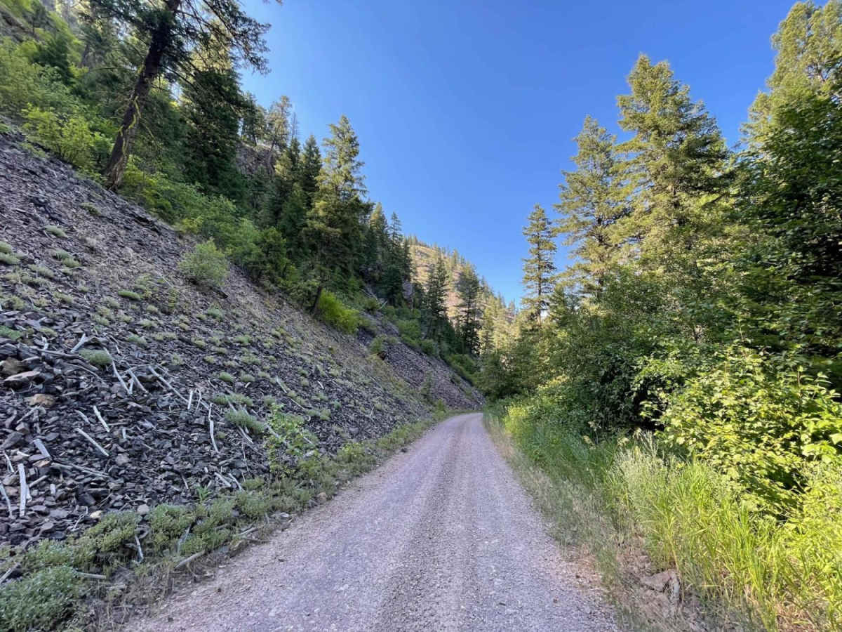
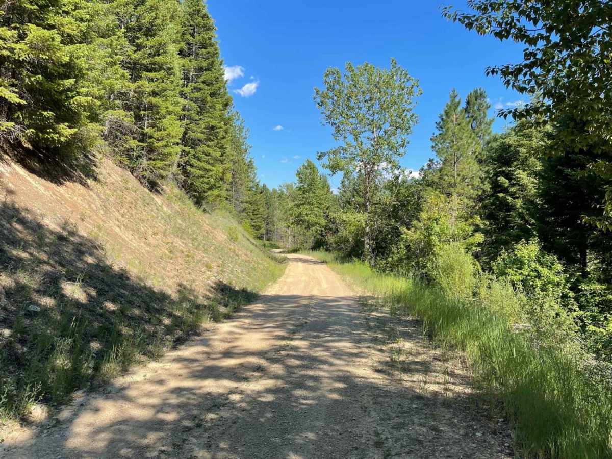
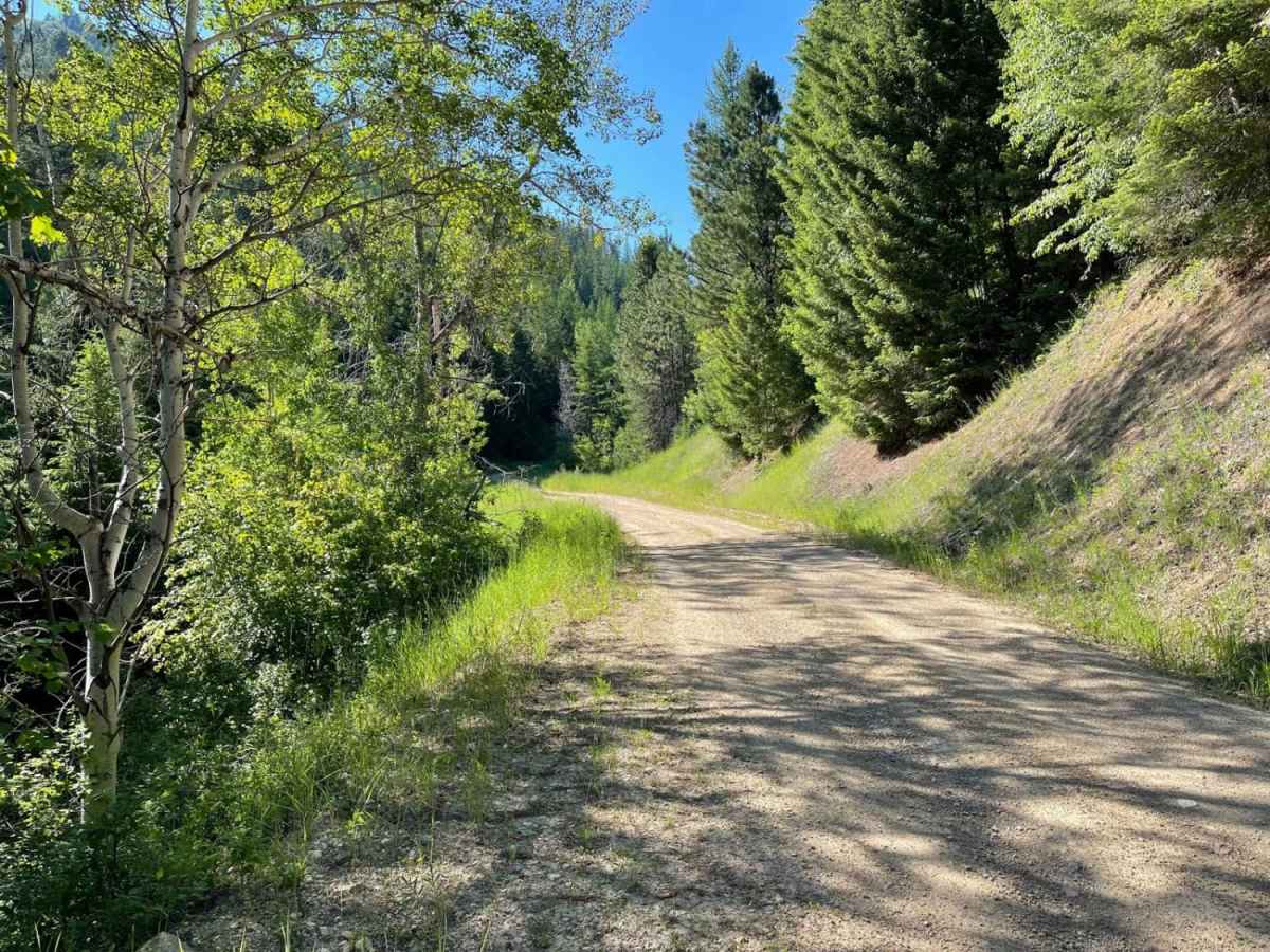
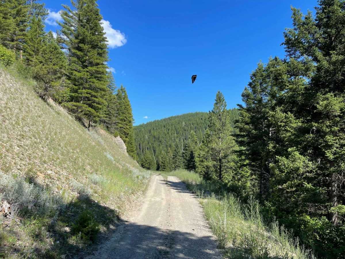
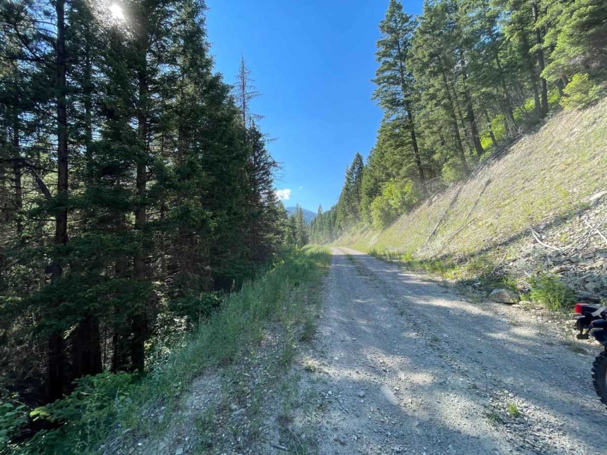
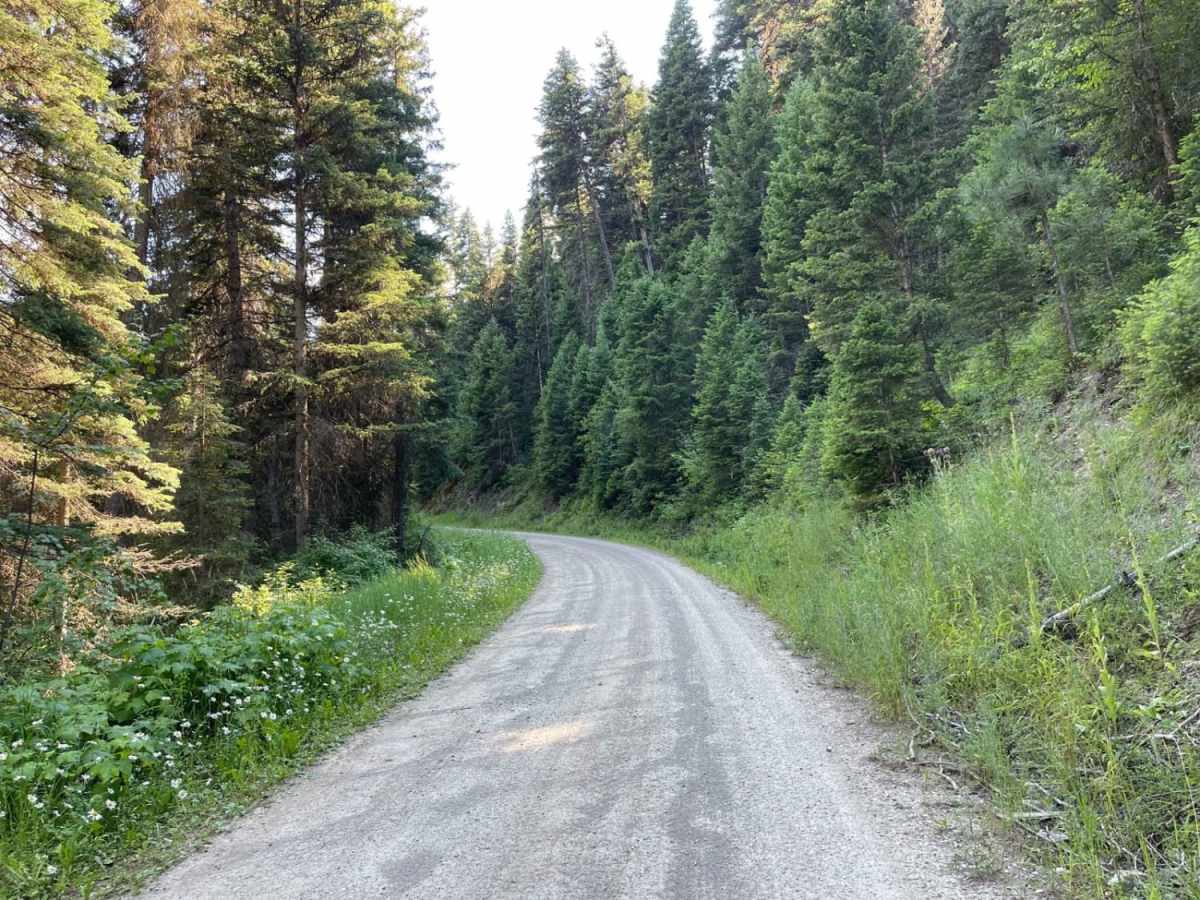
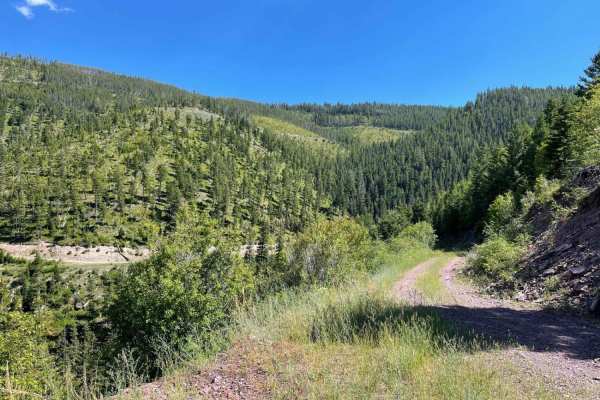
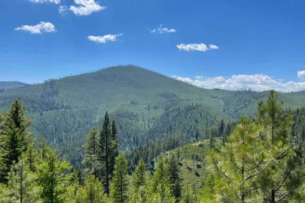
Schwartz Creek offers an exceptionally smooth and straightforward climb into the scenic Sapphire Mountains, making it the perfect route for beginners, scenic cruisers, or those looking for an effortless mountain drive. Spanning approximately 5.2 miles, this well-maintained dirt trail features a gentle grade with very few potholes, making it easily navigable for standard four-wheel-drive vehicles, high-clearance rigs, and SxSs. Rising from an elevation of 3,664 feet to a peak of 4,583 feet, the route winds through dense forest and along Teton Gulch, climbing about 919 feet of net elevation. The terrain is highly forgiving, allowing drivers to focus on the surrounding pine forests and beautiful mountain vistas rather than technical obstacles.
While the driving itself is highly accessible and carries a low technical rating of 2, the trail's primary challenge is its narrow profile, which features long stretches with very few pullouts for passing oncoming traffic. Cautious driving and a watchful eye for other recreationists are recommended, particularly on the tighter sections along the gulch. Cellular reception is sparse at the higher elevations near the ridge, though you can expect a couple of bars of LTE service near the bottom of the trail. Once at the summit, the route opens up to several intersecting forest roads, providing excellent opportunities for further exploration deeper into the Sapphire Mountains or connecting to adjacent OHV networks.
Access Description
The route is located within the Lolo National Forest. No permit is required for driving on Forest Service Road 502, but vehicles must be street-legal or have the appropriate Montana OHV registration decal if operating an OHV or SxS. Be sure to check seasonal gate closures with the Forest Service, as heavy winter snow can block vehicle access from late fall through late spring.