Trail Overview
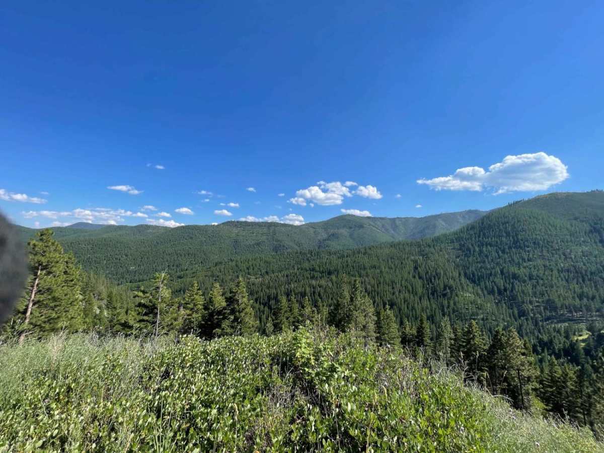
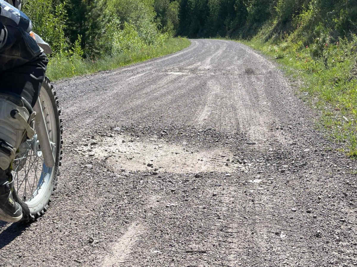
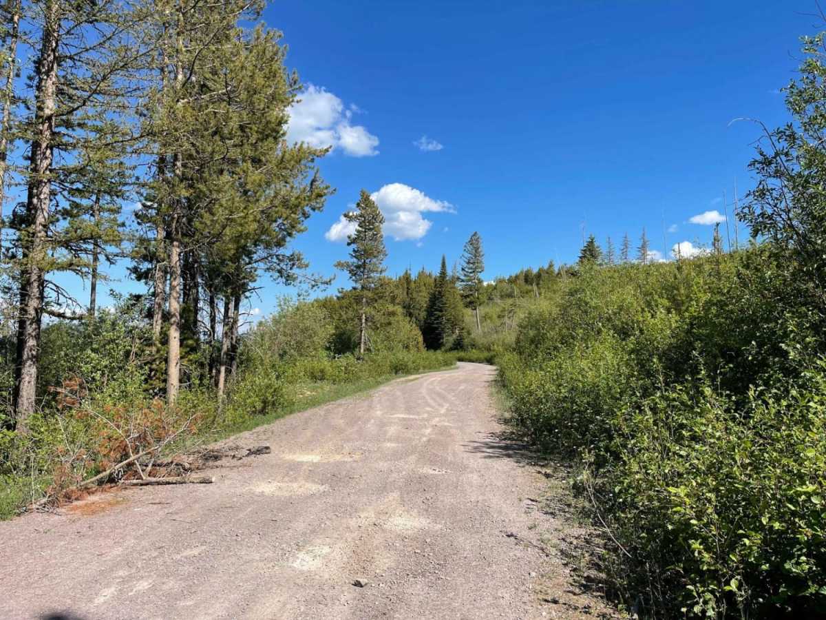
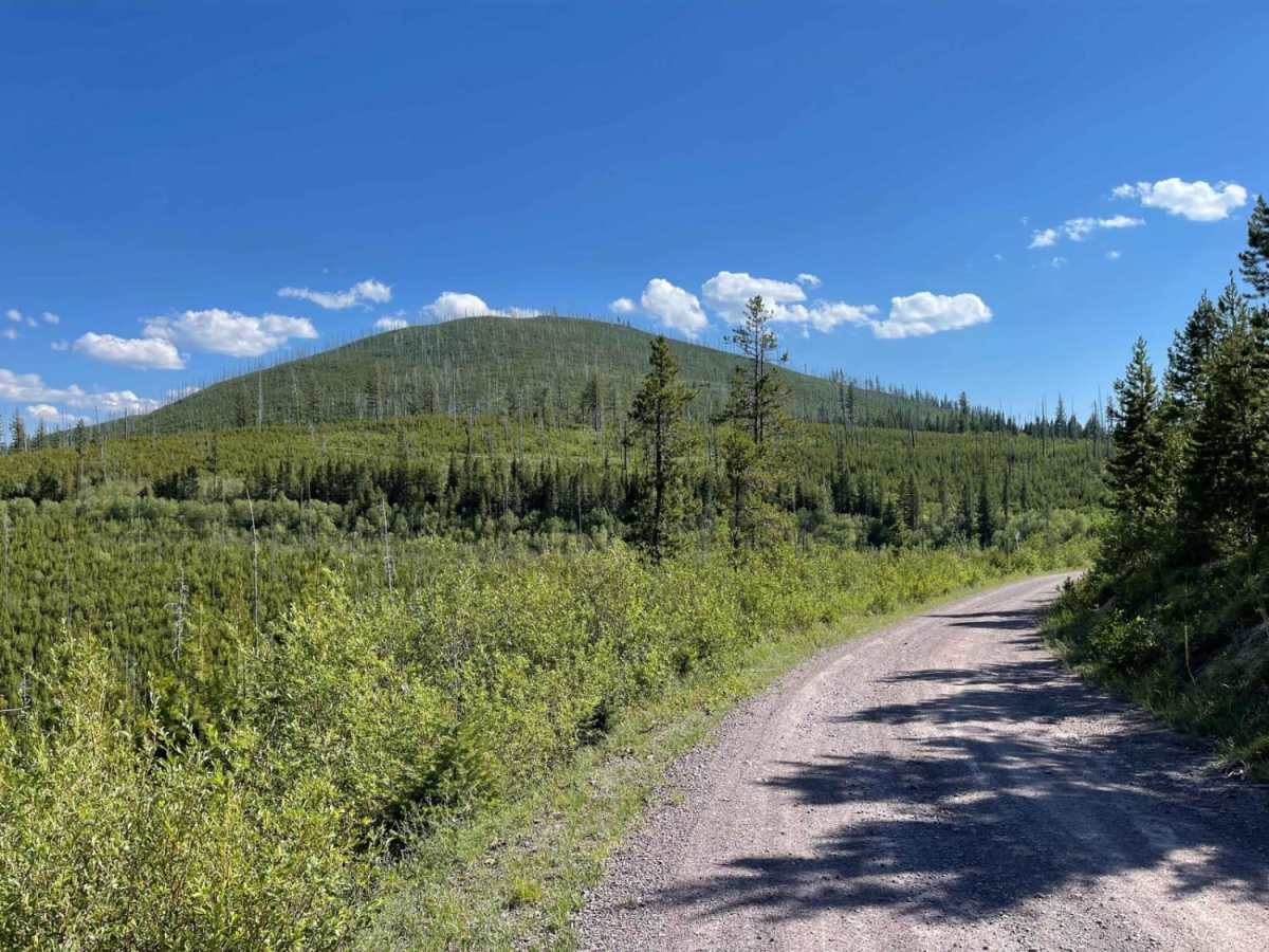
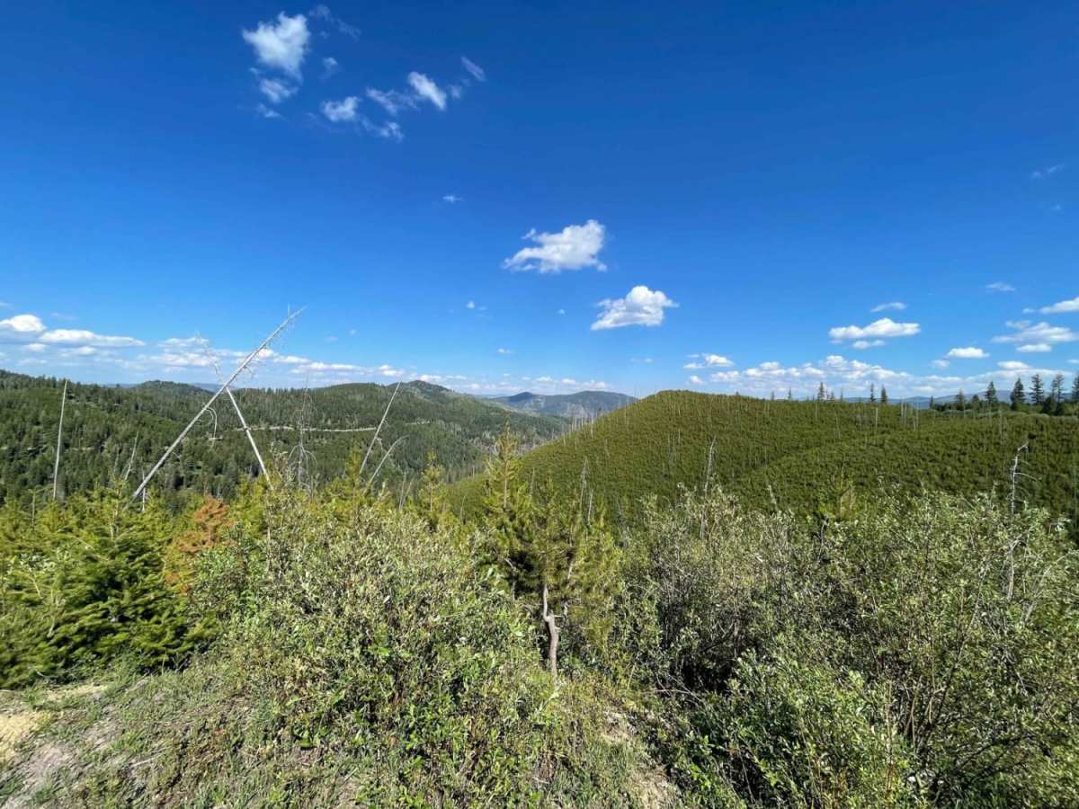
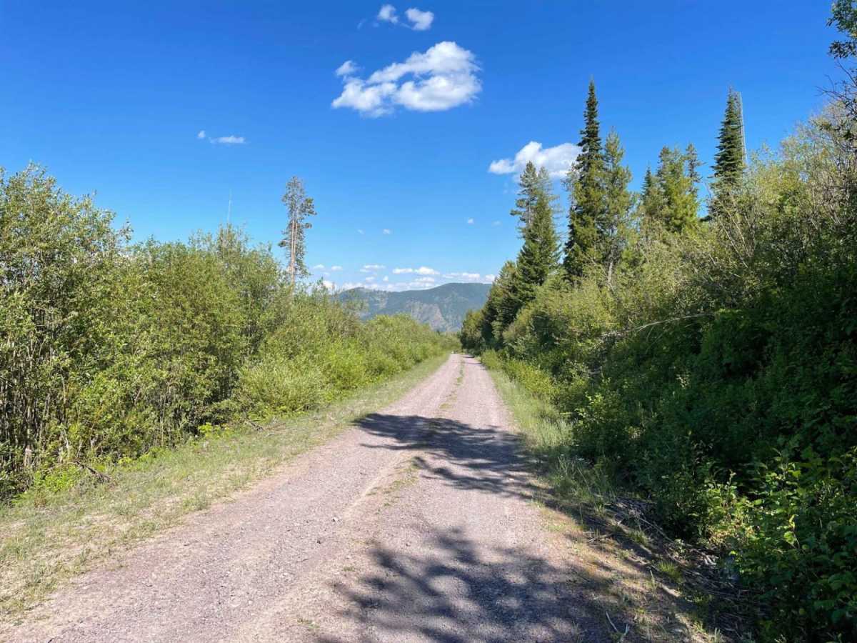
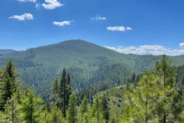
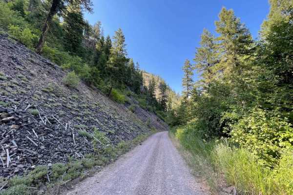
Middle Fork Schwartz is an ideal route for scenic explorers, dirt bikers, and four-wheel-drive enthusiasts seeking stunning views of the Sapphire Mountains without high-difficulty obstacles. Running roughly 5.3 miles between Holloman Saddle and Schwartz Creek, this dirt track descends approximately 1,250 feet through a mix of dense forest stands and historic burn areas that are actively regenerating. The route is accessible to most high-clearance four-wheel-drive vehicles, SxSs, and off-road motorcycles, offering a straightforward traverse with a technical rating of 2. Drivers should remain alert for massive, deep potholes and craters that hide in the heavily shaded sections of the road.
The trail connects Forest Service Road 4245 at Holloman Saddle down to Schwartz Creek Road (Forest Service Road 502), making it a convenient connector route in the Missoula area. Dispersed camping opportunities can be found on short, branching spur tracks along the ridge, though reliable cellular service is limited, fading from two bars of LTE at the saddle down to none in the canyon depths. Due to its elevation peaking near 5,830 feet, the road is best traveled from late spring through autumn when snow has cleared, exposing the primarily dirt and gravel surface. Western-facing slopes along the descent can become exceptionally warm in the summer afternoon sun, so bringing extra water is highly recommended.
Access Description
The route is located within the Lolo National Forest. Standard National Forest regulations apply, and no fees or permits are required for day use, though vehicles must be street-legal or possess a valid Montana off-highway vehicle (OHV) registration decal.