
Beginner Off-Road Trails
Near Stockdale, Ohio
Explore All Beginner Trails Near Stockdale, Ohio
Beginner Off-Road Trails Near Stockdale, Ohio
Discover the best beginner-friendly off-road trails near you. These easier, lower-rated trails are a great place to start — browse trail maps, check difficulty ratings, and find your next adventure.
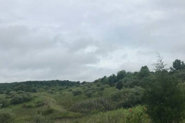
Anderson Meadows
Right off of Highway 93 South, as you turn into Wayne National Forest and wildlife preserve, you'll enter a part known as Anderson Meadows. With multiple pull-off spots that have most of the beautiful lookouts that open up to many different meadows and wildlife that is native to the area. From multi...
Learn more about Anderson Meadows
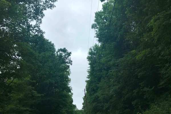
Brady Fork
This trail features giant rock formations, partially washed-out roads, deep ravines, high-water crossings, and muddy ruts. After turning right onto Brady Fork Road, keep right where the left side has washed away, as the drop leads into a deep ravine running alongside the road. Multiple pull-off area...
Learn more about Brady Fork
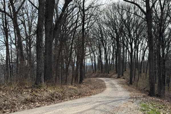
ODNR #4
ODNR #4 Road is a high ridge road that goes through the southernmost portion of Scioto Trail State Forest. The road provides exceptional views of the surrounding hills. There are some road is gravel and generally single lane width. There are a few blind switchbacks, and the road can be muddy and sli...
Learn more about ODNR #4
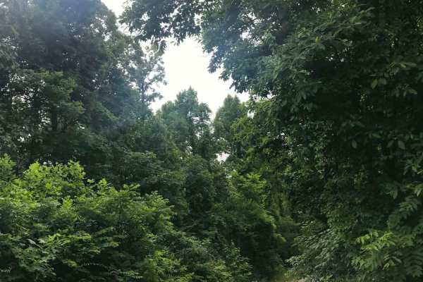
Telegraph Hill Road
Drive straight down Telegraph Hill Road, following a mostly straight stretch of slick, rutted gravel. At the three-way fork, continue straight, where the road leads deep into the woods and offers opportunities to see all kinds of wildlife. The remote setting can feel like a road from a horror movie ...
Learn more about Telegraph Hill Road
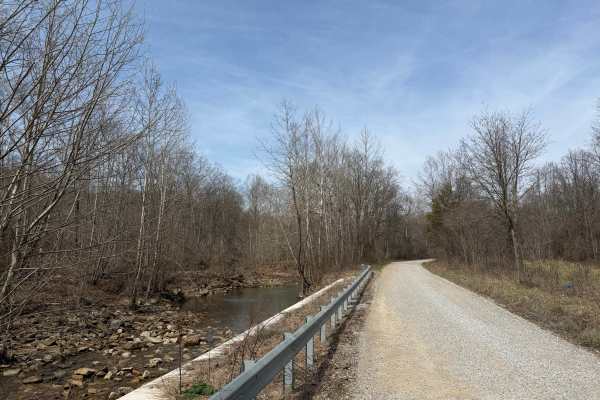
Turkey Run Road
Turkey Run Road is a leisurely gravel road that provides beautiful views of Pee Pee Creek and the Hawe Fork of Pee Pee Creek. (Yes, that is the actual name of the creek.) The road turns and puts you into mature forest along Turkey Run. The road is generally single-lane wide. Excellent route for gett...
Learn more about Turkey Run Road
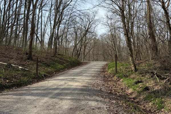
South Ridge Road
In Scioto Trail State Park, South Ridge Road snakes its way along the high south ridge of the park. The road is gravel and generally single-lane. There are multiple sidings and turnouts to let vehicles pass or just stop and enjoy the scenery. The road is not maintained in the winter months. The road...
Learn more about South Ridge Road
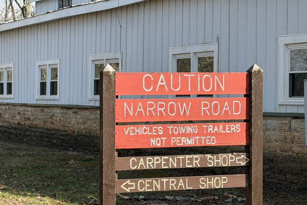
North Ridge Road
Scioto Trail State Park North Ridge Road is a single-lane gravel road that takes the high north ridge through the park. There are several sidings and pull-offs to let other traffic by. This road offers incredible views of the southern Ohio hills. There are several turnouts that offer a nice place to...
Learn more about North Ridge Road
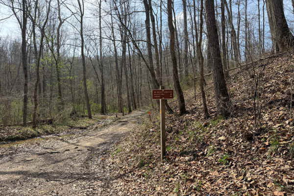
Wolcott Loop
This trail is a short loop with a spur that connects the Wolcott Trailhead with the rest of the main trail system. Coming from the trailhead, the north side offers a steep rocky ascent, and the south leg takes you across the bottoms to the Walcott Trail Connector, which in turn takes you to the Bear...
Learn more about Wolcott Loop
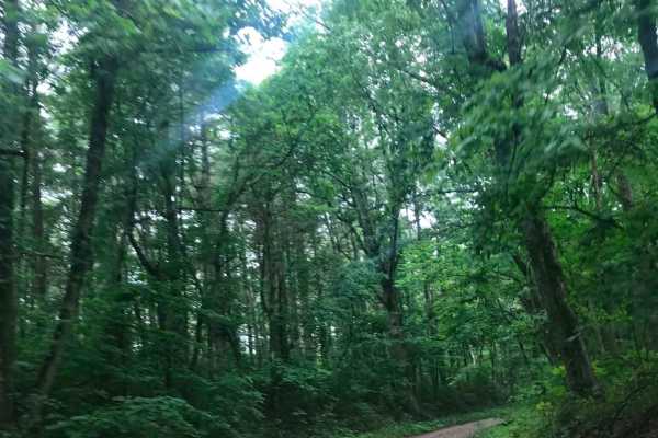
Township Road 152
Turn left off Telegraph Hill Road onto Township Road 152. This heavily wooded, curvy road is filled with deep potholes and ruts. Follow the winding road past Union Baptist Church, which is hidden deep in the woods, and continue straight to the stop sign. Turn left to return to State Route 93 and acc...
Learn more about Township Road 152
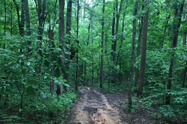
Vernon-Painter Creek Road
Turn right off Telegraph Hill Road onto Vernon-Painter Creek Road. Along the route, a small pull-off provides access to an ATV path leading to an abandoned CH&P railroad tunnel, one of several in the area. Continue through the deep, dark forest, then turn left onto the side road and follow the unmai...
Learn more about Vernon-Painter Creek Road
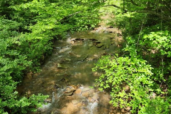
State Forest Road 14
This is an easy, well-maintained gravel road that meanders through the Shawnee State Forest. You will enjoy lush vegetation and bubbling creeks, with a meadow thrown in for good measure. Please do not venture off of the marked Forest Service roads. There are no OHV trails available in the State Fore...
Learn more about State Forest Road 14
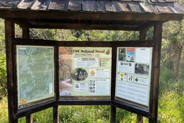
Superior Connector
Welcome to the Wayne National Forest Superior OHV Trail System. Wayne National Forest OHV trails require a trail pass that can be purchased from Forest headquarters or local vendors. All trails are limited to a width of 50 inches or less. All trails are two-way. As the name suggests, the trail conne...
Learn more about Superior Connector
Texas Hollow
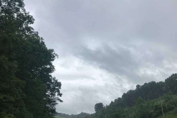
Texas Hollow Road sits in a beautiful part of Dean State Forest and Wildlife Preserve within Wayne National Forest. Turn left onto Dean Forest Road and continue to the split where the road becomes gravel, then stay straight as it leads deeper into the wildlife preserve. At the fork, avoid the left t...
Learn more about Texas Hollow
Sawmill Road
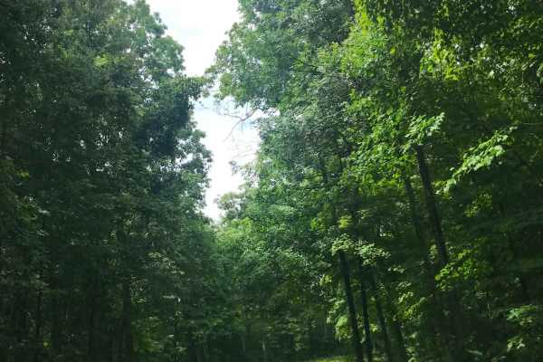
Turn onto Sawmill Road, which may not appear on GPS and has no road sign other than a stop sign. Continue straight down the narrow, slightly overgrown gravel road through sharp twists and turns. About 0.3 miles in, a small, overgrown, muddy path on the right side of a sharp turn leads to a hidden po...
Learn more about Sawmill Road
Township Road 232
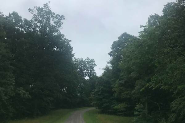
At the stop sign, turn right off Vernon-Painter Creek Road onto Township Road 232. Follow the loose, slick gravel through several sharp curves as the road leads deeper into the heavily wooded area of Wayne National Forest, passing trailheads and dense forest along the way. Continue on Township Road ...
Learn more about Township Road 232
Wolf Road
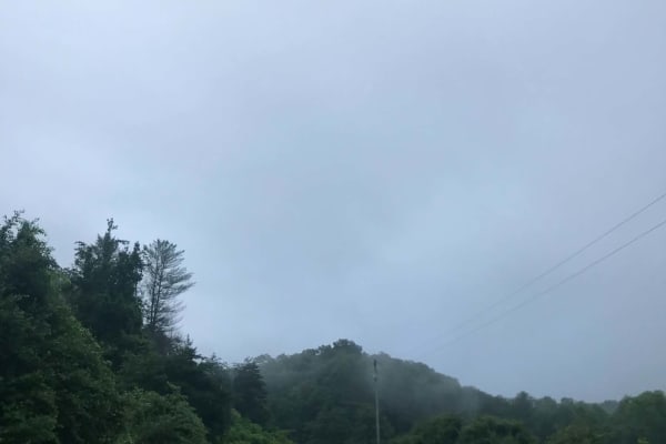
Take a right onto Wolf Road and follow the hairpin bends down the winding road through thick trees, small hills, and several steep, loose-gravel inclines. A short distance down the road, the Bonnie Run Bridle Trailhead sits on the right and provides access for hiking. The road forms a complete loop,...
Learn more about Wolf Road
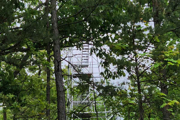
Forest Road 6
This route is a well-maintained gravel road that meanders through the Shawnee State Forest. It is an easy-going route with some excellent views and relaxing overlooks. Please do not venture off of the marked Forest Service roads in the State Forest land. There are no OHV trails.
Learn more about Forest Road 6
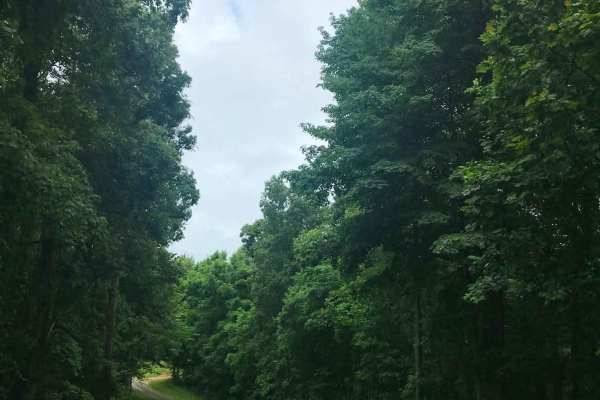
Cades Hollow
Make a left at the Tar Kiln Run Shooting Range off Dean Forest Road onto Cade Hollow. Follow the sharp, curvy hill down to the Mount Bride trailhead, one of many in the area where visitors can park and hike through the dense forest. Continue straight down the steep, slightly washed-out hill as it le...
Learn more about Cades Hollow
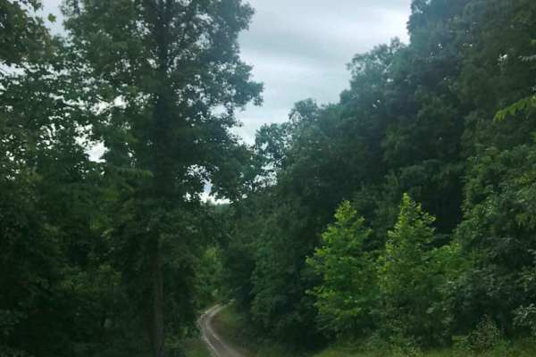
Cannons Creek
Make a right off Slab Fork Road onto Texas Hollow Road and continue until you see a small, muddy gravel road on the left. Turn left onto Cannons Creek-Slab Fork Road and continue straight to enjoy the slick, sloppy rock waterfalls that run down the middle of the road, leading to a creek crossing wit...
Learn more about Cannons Creek
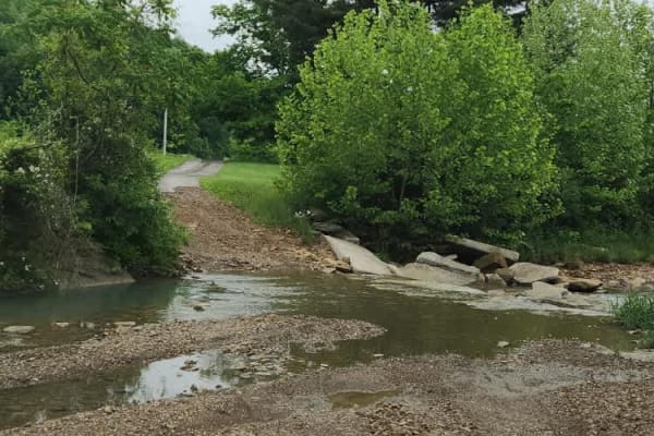
Beech Fork Road
The trail is a nice mix of dirt and gravel with a couple of creek crossings. It is easily doable in a 4x4 vehicle, although some AWD vehicles may have issues with the two water crossings along the route. If you enjoy getting out, taking in your surroundings, and listening to a running creek, then th...
Learn more about Beech Fork Road
Beginner ATV trails near Stockdale, Ohio
Explore ATV-friendly trails near you. These trails are accessible for vehicles up to 50 inches wide, perfect for ATVs and smaller off-road machines.
Brady Fork
This trail features giant rock formations, partially washed-out roads, deep ravines, high-water crossings, and muddy ruts. After turning right onto Brady Fork Road, keep right where the left side has washed away, as the drop leads into a deep ravine running alongside the road. Multiple pull-off area...
Learn more about Brady Fork
Wolcott Loop
This trail is a short loop with a spur that connects the Wolcott Trailhead with the rest of the main trail system. Coming from the trailhead, the north side offers a steep rocky ascent, and the south leg takes you across the bottoms to the Walcott Trail Connector, which in turn takes you to the Bear...
Learn more about Wolcott Loop
Superior Connector
Welcome to the Wayne National Forest Superior OHV Trail System. Wayne National Forest OHV trails require a trail pass that can be purchased from Forest headquarters or local vendors. All trails are limited to a width of 50 inches or less. All trails are two-way. As the name suggests, the trail conne...
Learn more about Superior Connector
Pine Cutoff
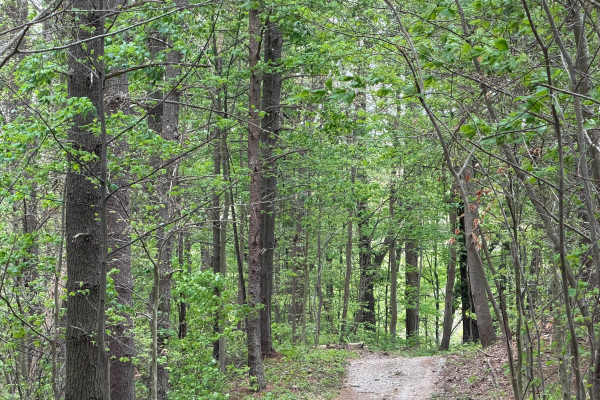
The Pine Cut off is just what its name says. If you need to get back to the trail head or latrine in a hurry from the Power Line Trail, this trail will get you there. This trail is wide and easy. It does come in handy if you need to get back to the parking lot quickly. Also can be used to re-ride yo...
Learn more about Pine Cutoff
Beginner UTV/side-by-side trails near Stockdale, Ohio
Find UTV and side-by-side trails near you. These trails accommodate vehicles up to 60 inches wide, ideal for UTVs, side-by-sides, and wider off-road rigs.
Brady Fork
This trail features giant rock formations, partially washed-out roads, deep ravines, high-water crossings, and muddy ruts. After turning right onto Brady Fork Road, keep right where the left side has washed away, as the drop leads into a deep ravine running alongside the road. Multiple pull-off area...
Learn more about Brady Fork
Park Road 39
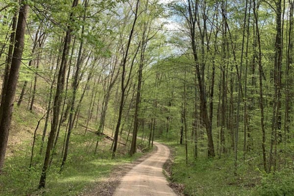
This route is for anyone that wants to rip a rally-like road, and experience the great scenery and wildlife Ohio can offer! This gravel route is very loose and has a few washouts. It also has two hairpin turns that may require some two-point turns for big or full-sized rigs. This trail is accessible...
Learn more about Park Road 39

Sunshine Ridge Road
The trail starts easy, however, once you cross over Blue Creek Road, the trail climbs up a hill and can be slick during and or after some rain. Once on the top, it levels out for a bit until you come to some mud holes. These are about 2 feet deep but have solid bottoms. Continue on the trail until y...
Learn more about Sunshine Ridge Road
Morrell Hollow
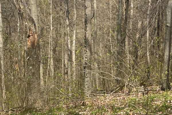
A mixture of mud and off-camber areas with some steep rocky climbs, this trail will test the typical factory-built rig. It starts near an old hunting cabin and continues into the forest past an old cemetery. It is a great trail, however, about halfway down, it is blocked due to tornado damage. There...
Learn more about Morrell Hollow
The onX Offroad Difference
onX Offroad combines trail photos, descriptions, difficulty ratings, width restrictions, seasonality, and more in a user-friendly interface. Available on all devices, with offline access and full compatibility with CarPlay and Android Auto. Discover what you're missing today!
Open Trail Map