Cannons Creek

Total Miles3.1
Technical Rating
2Easy
Best TimeSpring, Summer, Fall, Winter
Trail TypeFull-Width Road
Accessible By
Open Trail Map

Trail Overview

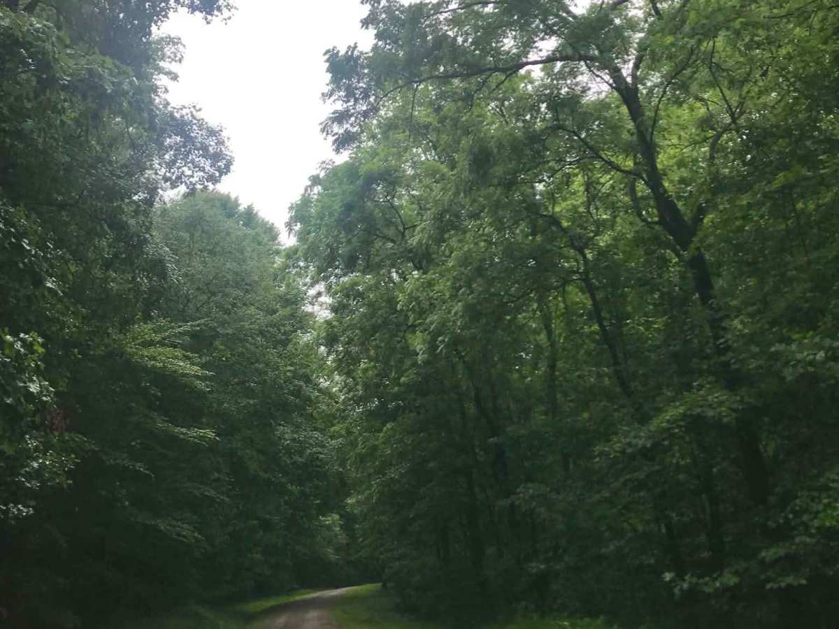
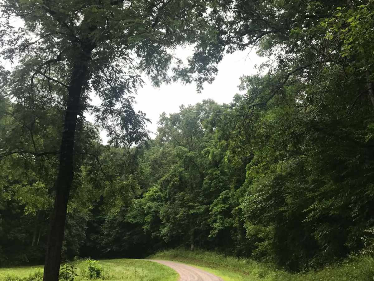
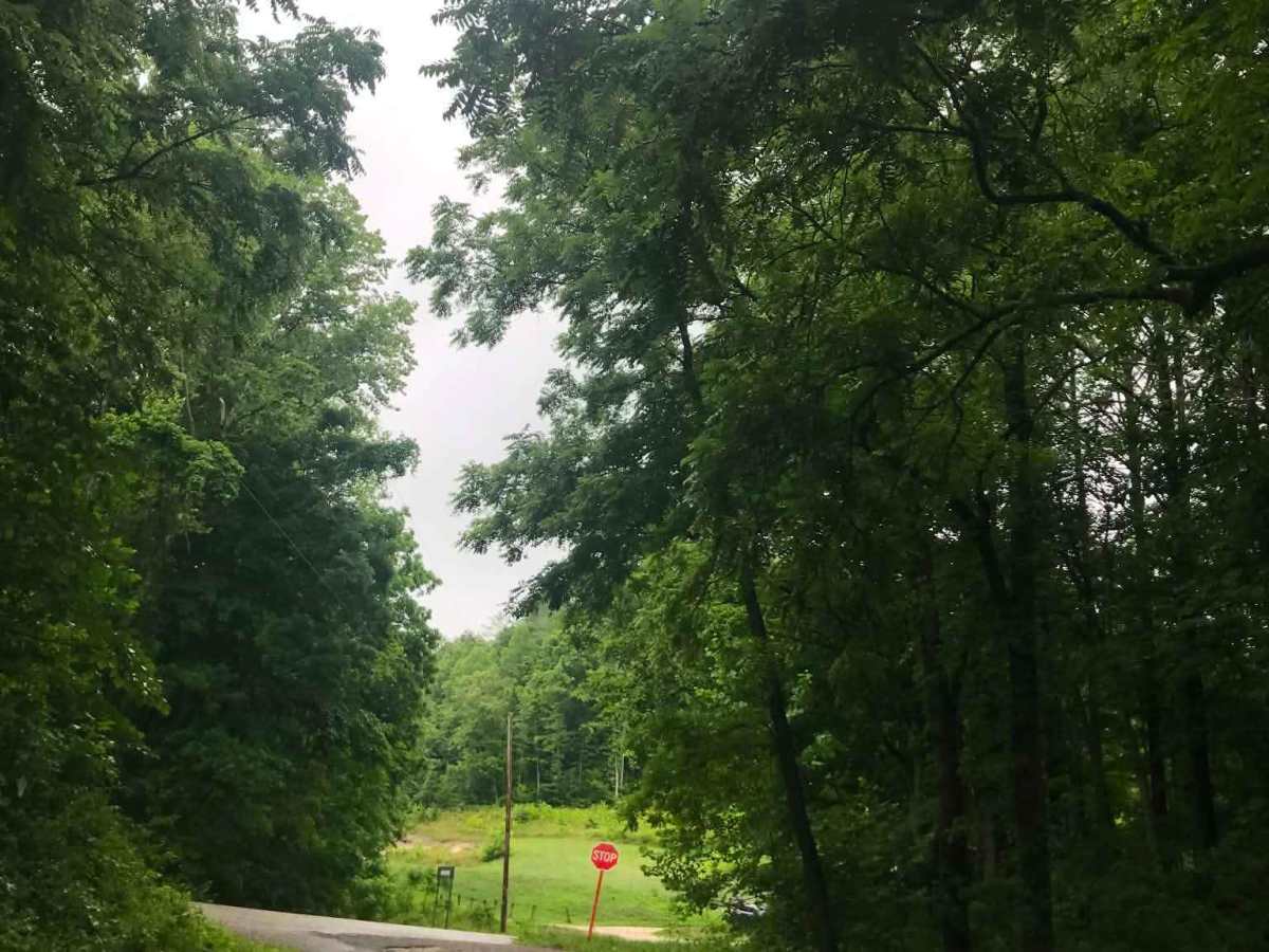
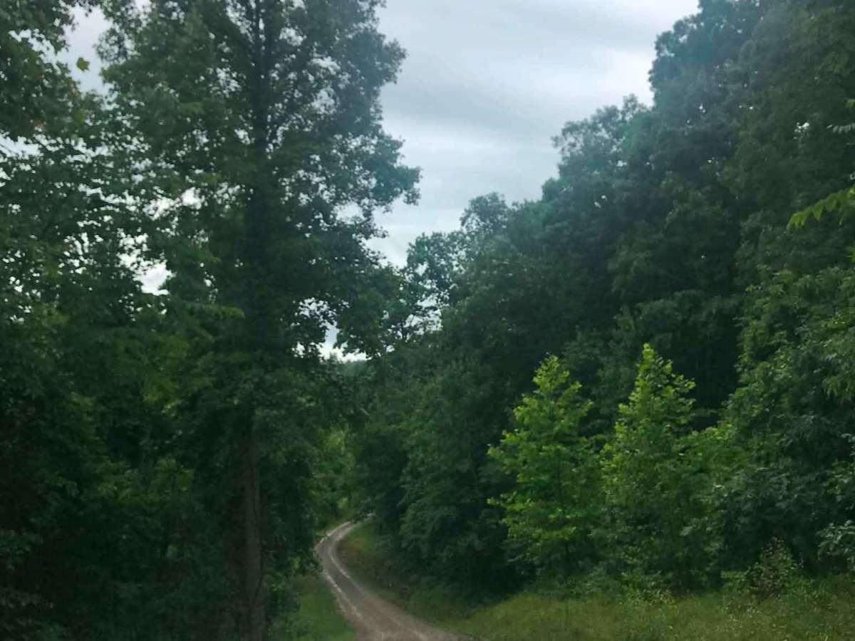
Make a right off Slab Fork Road onto Texas Hollow Road and continue until you see a small, muddy gravel road on the left. Turn left onto Cannons Creek-Slab Fork Road and continue straight to enjoy the slick, sloppy rock waterfalls that run down the middle of the road, leading to a creek crossing with a small bridge. Keep going straight until you reach a stop sign at Power Road, which leads out to Etna-Waterloo Road. At the end of the road, the Mount Ridge hiking path sits on the right and offers a place to stop and take in the surrounding scenery and wildlife.

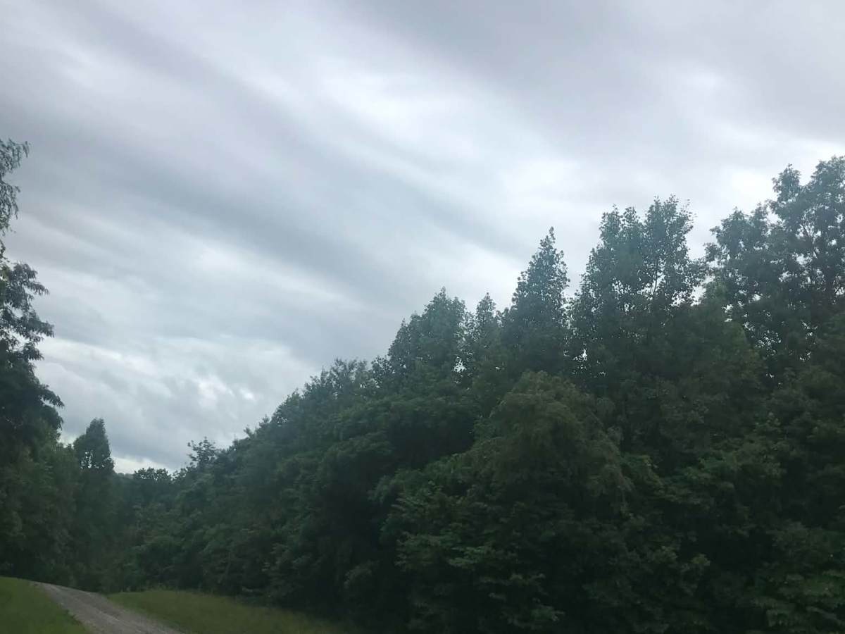
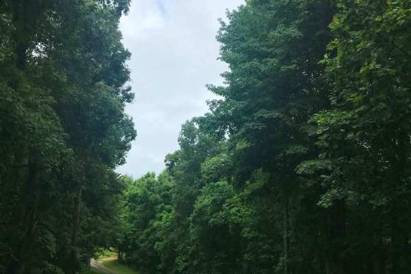
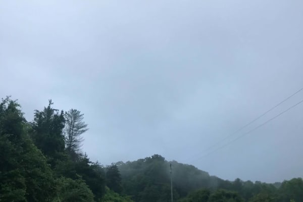
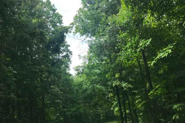
Photos of Cannons Creek

Difficulty

This unmaintained road can become flooded and washed out during bad weather.

Technical Rating

2

Cannons Creek Trail can be accessed by the following ride types:

  • High Clearance
  • Full Width

Cannons Creek Map

The onX Offroad Difference

onX Offroad combines trail photos, descriptions, difficulty ratings, width restrictions, seasonality, and more in a user-friendly interface. Available on all devices, with offline access and full compatibility with CarPlay and Android Auto. Discover what you're missing today!

Open Trail Map