
Beginner Off-Road Trails
Near Scott Air Force Base, Illinois
Explore All Beginner Trails Near Scott Air Force Base, Illinois
Beginner Off-Road Trails Near Scott Air Force Base, Illinois
Discover the best beginner-friendly off-road trails near you. These easier, lower-rated trails are a great place to start — browse trail maps, check difficulty ratings, and find your next adventure.

Bidwell FSR 2199
Bidwell FSR 2199, is a gravel forestry road that travels through Mark Twain National Forest. Bidwell is one of the longest forestry routes on the eastern side of the forest clocking in at 8.6 forestries serviced miles or 11.85 with the gravel roads that feed into it. Bidwell features many steep grad...
Learn more about Bidwell FSR 2199

Johns Creek FSR 2170
Johns Creek FSR 2170 is a half gravel half dirt forestry route through the northeasternmost section of Mark Twain National Forest, which resides in lower Ste Genevieve County Missouri. The trail is focused on being a hunting destination, full of campsite cutouts amongst the tall pines, and is genera...
Learn more about Johns Creek FSR 2170
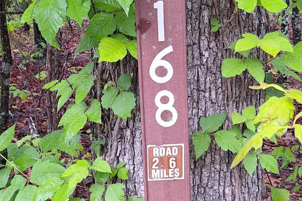
Anderson Hollow (FSR 2168)
This road starts as well-maintained gravel for the first 300 feet and then quickly turns to a light gravel/dirt 2-track. This road will take you through Mark Twain National Forest land and dead-ends 2.8 miles in. On this road, you will find a beautiful drive through the hills and may get to experien...
Learn more about Anderson Hollow (FSR 2168)
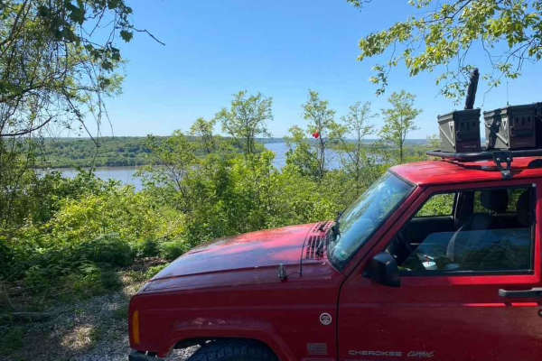
Happy Hollow FSR 787
The Happy Hollow FSR 787 is a gravel forestry route in the northwest Mississippi Bluffs sector of Shawnee National Forest. The trail specifically goes up into the hills along the Mississippi River north of Grand Tower, IL. It climbs just shy of 300 feet over the first .7 mile of the gravel, which is...
Learn more about Happy Hollow FSR 787

Big Muddy Levee Road
The Big Muddy River Levee Road is the southern publicly accessible 10-mile-long gravel road following the ridge top of the Levee, along the lower southern section of the Big Muddy River in Jackson County Illinois. Note that the Northern 3.4 mile section of this road has transferred from the public-o...
Learn more about Big Muddy Levee Road
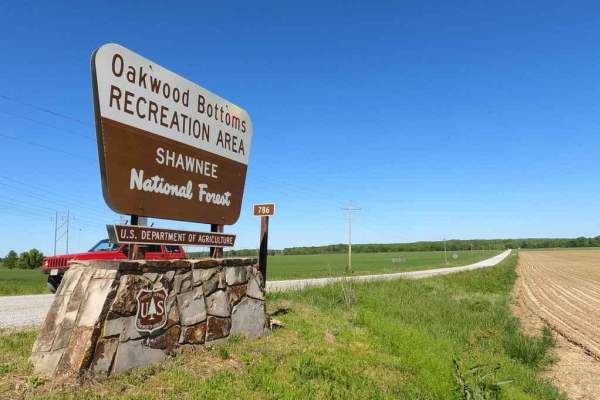
Oakwood Bottoms/Turkey Bayou FSR 786/786R
The Oakwood Bottoms FSR 786, and Turkey Bayou FSR 786R, also know in the forestry maps as Johns Spur Road, is a gravel forestry road through the wetland bottoms in the northwest Mississippi Bluffs sector of Shawnee National Forest. Through there is two separate road names and IDs the road seamlessly...
Learn more about Oakwood Bottoms/Turkey Bayou FSR 786/786R
Mount Gilead Church FSR 2148
Mount Gilead Church FSR 2148, is a gravel forestry road that travels a small area of the Fredericktown sector of Mark Twain National Forest, within the northern hills of Madison County, Missouri. It features course gravel that was recently hauled in for logging purposes, there are a few mild hills a...
Learn more about Mount Gilead Church FSR 2148
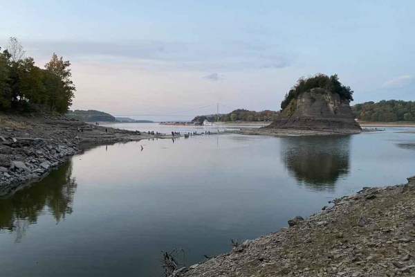
Tower Rock Road PCR 460
Tower Rock Road or Perry County Road 460 is a gravel road that parallels the Mississippi River, leading you to the historic Tower Rock Natural Area. The road has a few steep grades and is amongst the forest. Expect some serious washboarding and gravel mounding due to heavy use. Near the end you cros...
Learn more about Tower Rock Road PCR 460
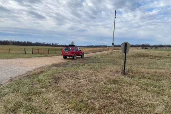
Whitewater Presbyterian Church Road
Whitewater Presbyterian Church Road, also known as Bollinger County Road 256, is a scenic and mildly challenging 2.2-mile gravel route perfect for stock four-wheel-drive vehicles, SUVs, and SxSs seeking an off-the-beaten-path connection between Missouri Route KK and Route K. Spanning a brief but eng...
Learn more about Whitewater Presbyterian Church Road
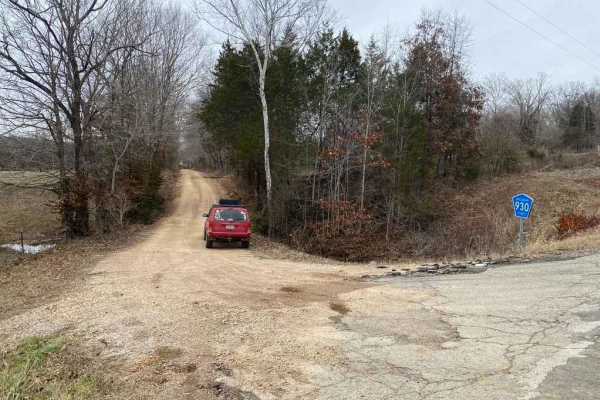
Whitewater Creek Road
Whitewater Creek Road is an easy, scenic gravel route ideal for beginners, overland families, and stock four-wheel-drive vehicles looking to enjoy a peaceful drive along the Whitewater River. Spanning approximately 2.75 miles and connecting Bollinger County Road 930 with Perry County Road 722, this ...
Learn more about Whitewater Creek Road
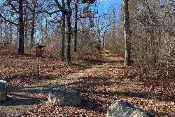
Knob Lick Tower Road
Knob Lick Tower Road leads to a Missouri Department of Conservation area that holds the publicly accessible Knob Lick Tower overlooking the St Francois Mountains. The road's primary surface is gravel, and despite being well-packed, and maintained, it features mounding, washboarding, and mild ruts. T...
Learn more about Knob Lick Tower Road
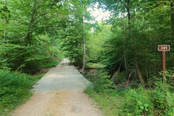
Rattlesnake Ferry - FS 345
Rattlesnake Ferry - FS 345 is maintained gravel transforming to a natural forest service road in Shawnee National Forest, north of the LaRue-Pine Hills/Otter Pond Research Natural Area, a part of the greater Mississippi Bluffs unit. The Rattlesnake Ferry features smoother gravel from the higher elev...
Learn more about Rattlesnake Ferry - FS 345
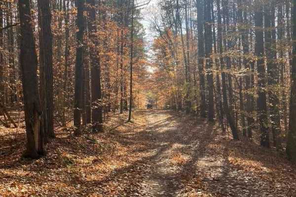
SFR 743/743A
SFR 743/743A offers a scenic and moderately challenging descent through the dense canopy of the Shawnee National Forest, making it an excellent short adventure for offroaders looking to test their traction. Branching off Natural Bridge Road (SFR 750) near the Pomona Natural Bridge, this 1.4-mile tra...
Learn more about SFR 743/743A
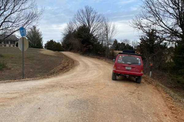
Bo-Co Road 918
The Bollinger County 918 is a gravel county road connecting to other county roads in the area. It has mild rutting, washboarding, and mounding and shows signs of wear near its low-water bridge and hilly sections. This adds excitement to using it as a route to get around. Water collection spots, natu...
Learn more about Bo-Co Road 918
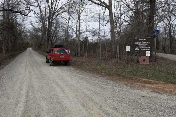
Castor River Shut-Ins Road
The Castor River Shut-ins Road, also known as Madison County Road 253, is a simple gravel road leading to the Missouri Department of Conservation Area of the same name. The road features smooth riding with well-maintained gravel, at the halfway point is the entrance to the parking lot for the Shut-i...
Learn more about Castor River Shut-Ins Road
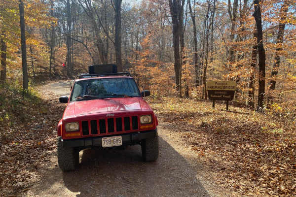
Natural Bridge Road
This is a maintained gravel road with an occasional flat natural rock sticking up in the middle of the road. This trail features beautiful tall pines and areas you can see for miles. The road leads up a steep grade that may include washboards and mild washes when the season is wet and conditions are...
Learn more about Natural Bridge Road
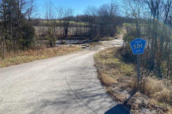
Cape Gir. Co 521 / 520
The Cape Girardeau County Roads 521 and 520 form a great scenic gravel road and loop with the main road of the area (US-61, with help from Cape Co 510). The roads were constructed around two creeks in the area, Hughes Creek and Buckeye Creek. It features a natural low-water bridge traversing over be...
Learn more about Cape Gir. Co 521 / 520

Bo-Co Road 238
The Bollinger County Road 238 is a gravel county road snaking through the country's low land, along the Whitewater River. The road provides great access to the river for fishing and a swimming hole. It also is conveniently placed in between some of the area's main artery roads, Route K to Sedgewickv...
Learn more about Bo-Co Road 238
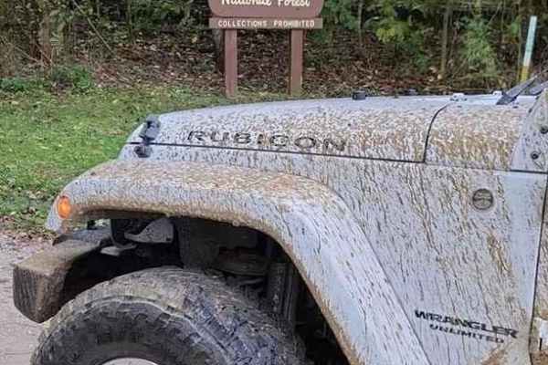
Pine Hills Road SFR 236
Pine Hills Road SFR 236 within Shawnee National Forest is a very lovely gravel Shawnee National Forest Road with access to hiking trails, scenic overlooks, and a campground all in one. Its biggest obstacles are a few steep grades with lite water washes, mounding loose gravel, and mild washboarding. ...
Learn more about Pine Hills Road SFR 236
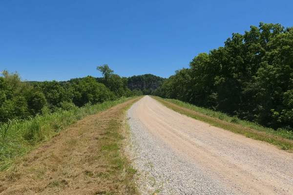
Muddy Levee Road
Muddy Levee Road, not to be confused with Big Muddy Levee Road, is the gravel levee road along the southeast side of Big Muddy River, crossing over Levee District land, and Shawnee National Forest, to enter the LaRue-Pine Hills Natural Research Area. The road is commonly used as the gateway access t...
Learn more about Muddy Levee Road
Beginner ATV trails near Scott Air Force Base, Illinois
Explore ATV-friendly trails near you. These trails are accessible for vehicles up to 50 inches wide, perfect for ATVs and smaller off-road machines.
Natural Bridge Road
This is a maintained gravel road with an occasional flat natural rock sticking up in the middle of the road. This trail features beautiful tall pines and areas you can see for miles. The road leads up a steep grade that may include washboards and mild washes when the season is wet and conditions are...
Learn more about Natural Bridge Road
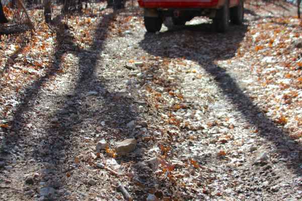
Flatwoods Spur B - FS 2438B
Flatwoods Spur B (FS 2438B) is a natural dirt and gravel forest service road within the Potosi Unit of Mark Twain National Forest. The Flatwoods Spur B heads north from the main road, Flatwoods FS 2438, heading into the woods along the ridge going north and then east from the main ridge. The road ha...
Learn more about Flatwoods Spur B - FS 2438B
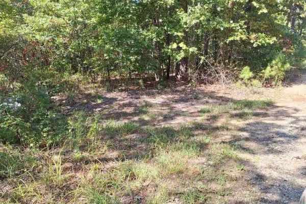
Highline FSR 2472
This forest service road is a 2 track through the Mark Twain National Forest and is part of the Potosi/Fredericktown Ranger district. It is a great little side trip off the main road to see the forest, and this area also offers a couple of secluded camping spots. Most of this road is overgrown, so e...
Learn more about Highline FSR 2472
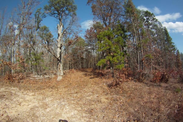
Allen Branch FS 4004
Allen Branch FS 4004 is an easy, scenic 2.35-mile dirt and gravel road in the Mark Twain National Forest. Perfect for beginners, hunters, and hikers, the straightforward route rises gently from 1,156 to 1,275 feet through dense forest. It is easily passable by high-clearance vehicles, and standard s...
Learn more about Allen Branch FS 4004
Beginner UTV/side-by-side trails near Scott Air Force Base, Illinois
Find UTV and side-by-side trails near you. These trails accommodate vehicles up to 60 inches wide, ideal for UTVs, side-by-sides, and wider off-road rigs.
Anderson Hollow (FSR 2168)
This road starts as well-maintained gravel for the first 300 feet and then quickly turns to a light gravel/dirt 2-track. This road will take you through Mark Twain National Forest land and dead-ends 2.8 miles in. On this road, you will find a beautiful drive through the hills and may get to experien...
Learn more about Anderson Hollow (FSR 2168)
Natural Bridge Road
This is a maintained gravel road with an occasional flat natural rock sticking up in the middle of the road. This trail features beautiful tall pines and areas you can see for miles. The road leads up a steep grade that may include washboards and mild washes when the season is wet and conditions are...
Learn more about Natural Bridge Road
Flatwoods Spur B - FS 2438B
Flatwoods Spur B (FS 2438B) is a natural dirt and gravel forest service road within the Potosi Unit of Mark Twain National Forest. The Flatwoods Spur B heads north from the main road, Flatwoods FS 2438, heading into the woods along the ridge going north and then east from the main ridge. The road ha...
Learn more about Flatwoods Spur B - FS 2438B
Highline FSR 2472
This forest service road is a 2 track through the Mark Twain National Forest and is part of the Potosi/Fredericktown Ranger district. It is a great little side trip off the main road to see the forest, and this area also offers a couple of secluded camping spots. Most of this road is overgrown, so e...
Learn more about Highline FSR 2472
The onX Offroad Difference
onX Offroad combines trail photos, descriptions, difficulty ratings, width restrictions, seasonality, and more in a user-friendly interface. Available on all devices, with offline access and full compatibility with CarPlay and Android Auto. Discover what you're missing today!
Open Trail Map