Trail Overview
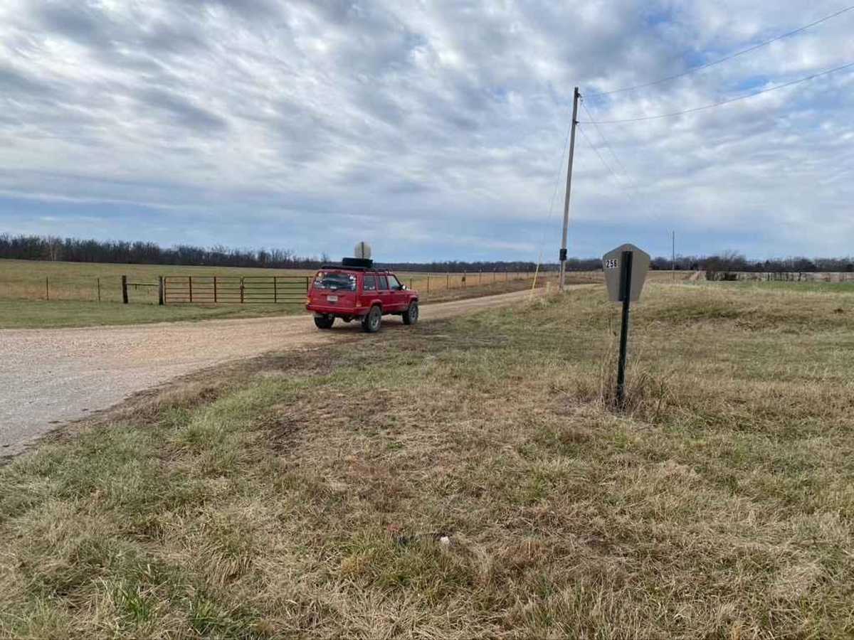
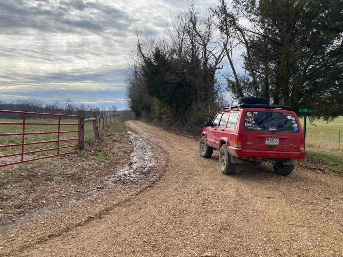
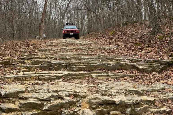
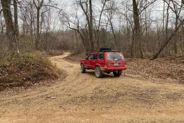
Whitewater Presbyterian Church Road, also known as Bollinger County Road 256, is a scenic and mildly challenging 2.2-mile gravel route perfect for stock four-wheel-drive vehicles, SUVs, and SxSs seeking an off-the-beaten-path connection between Missouri Route KK and Route K. Spanning a brief but engaging distance, this minimally maintained county road drops from a maximum elevation of 801 feet down to 668 feet, taking drivers past the historic Whitewater Presbyterian Church and into a lush valley. The route begins with a relatively straightforward gravel surface, but as it descends, the terrain transitions to dirt mixed with exposed natural rock. The bottom of the valley features a low-water bridge crossing that requires caution, especially during or after heavy rainfall when water levels rise and the dirt sections turn slick and muddy.
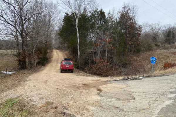
With a technical rating of 2, the trail is highly accessible but presents enough mild rutting, steep grades of up to 10.5 degrees, and rain runoff to keep the drive interesting. High-clearance vehicles will easily navigate the elevation changes, which include 189 feet of cumulative gain and 138 feet of loss. The west entrance is located off Missouri Route KK, while the eastern terminus connects directly to Missouri Route K just north of the Lixville intersection. Traveling this route offers a peaceful, rural experience through Bollinger County, making it an excellent quick detour or scenic connector for any dirt-road adventurer.