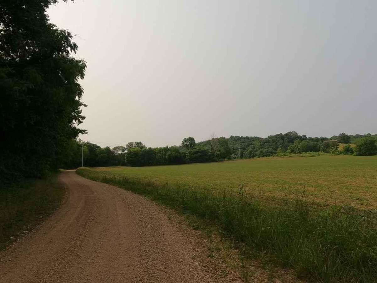
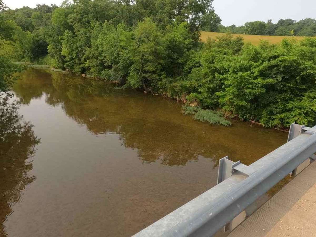
Trail Overview
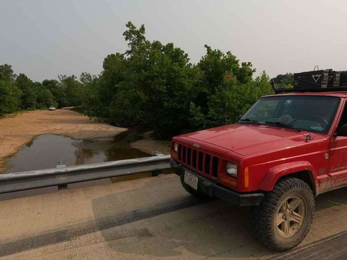
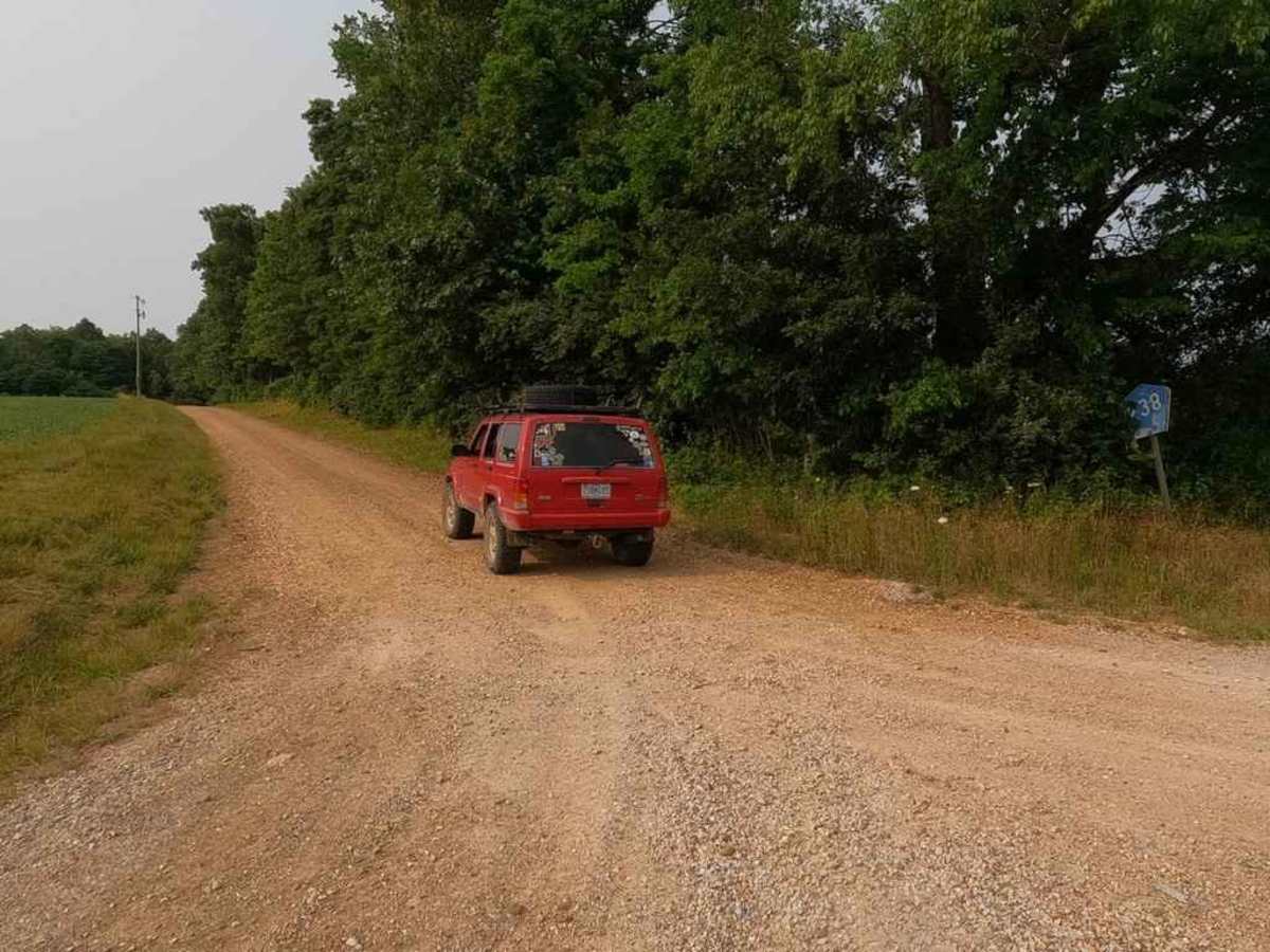
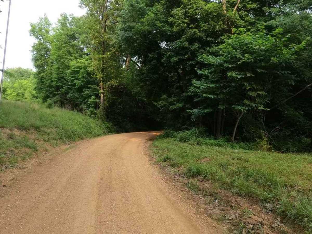
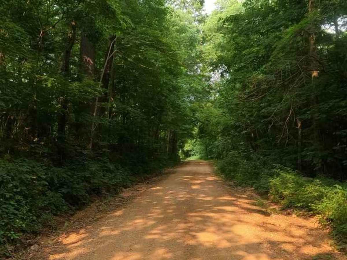
The Bollinger County Road 238 is a gravel county road snaking through the country's low land, along the Whitewater River. The road provides great access to the river for fishing and a swimming hole. It also is conveniently placed in between some of the area's main artery roads, Route K to Sedgewickville and Bo-Co Road 200. This is a great road for your weekend day-long getaway that keeps you off the paved roads and provides water-related side activities in-between hitting some of the area's more challenging roads. In a nutshell, the road features two steep hills on either end, in between the bottoms, the road goes over small rolling hills, creek-bottom-like course gravel sections, and tight turns following property lines, all with country views of farm living.
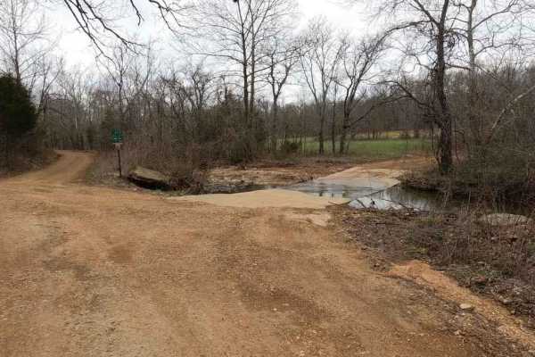
Difficulty
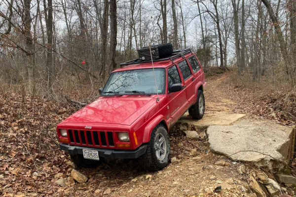
The road is generally a 1/10, the thing that pushes it to a 2/10 is the fact that is crosses several low-laying culverts and low-water bridges that in wet and rain conditions could flood and adding water crossing to the mix, in these areas water erosion was present and could also form bigger ruts if left unmaintained. There is also a drop-off into the creek bottoms near the Whitewater River that would be higher in difficulty than the main road, due to the steepness of the grade in and out and the loose river bottom/bar rock below.