Whitewater Creek Road

Total Miles2.8
Technical Rating
2Easy
Best TimeSpring, Summer, Fall, Winter
Trail TypeFull-Width Road
Accessible By
Open Trail Map

Trail Overview

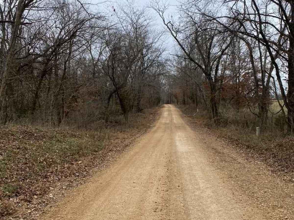
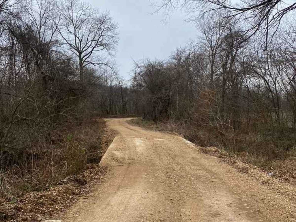
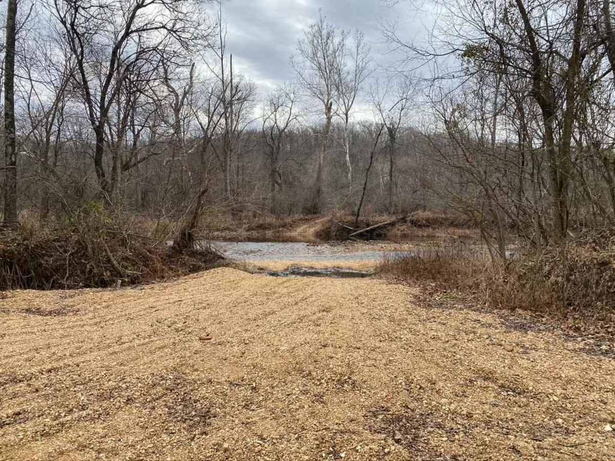
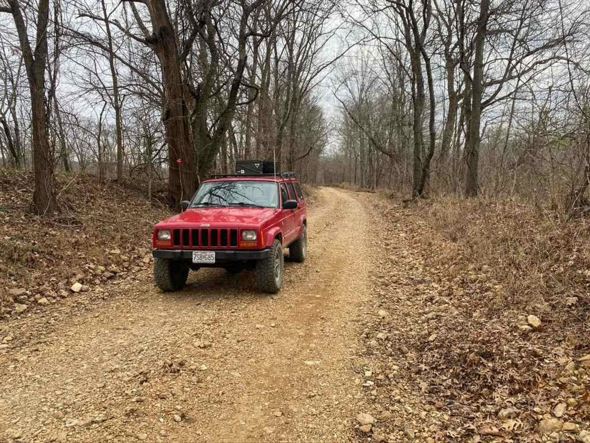
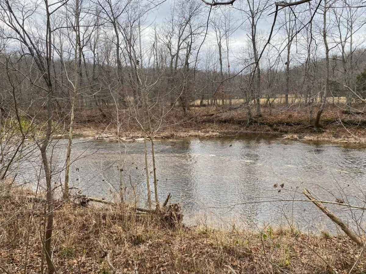
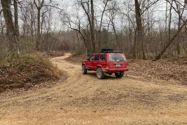
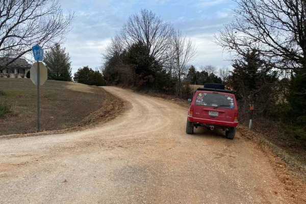
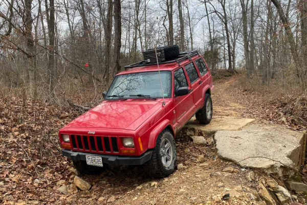
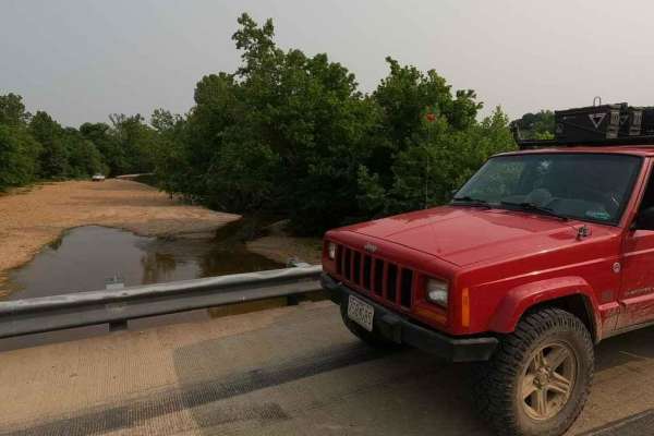
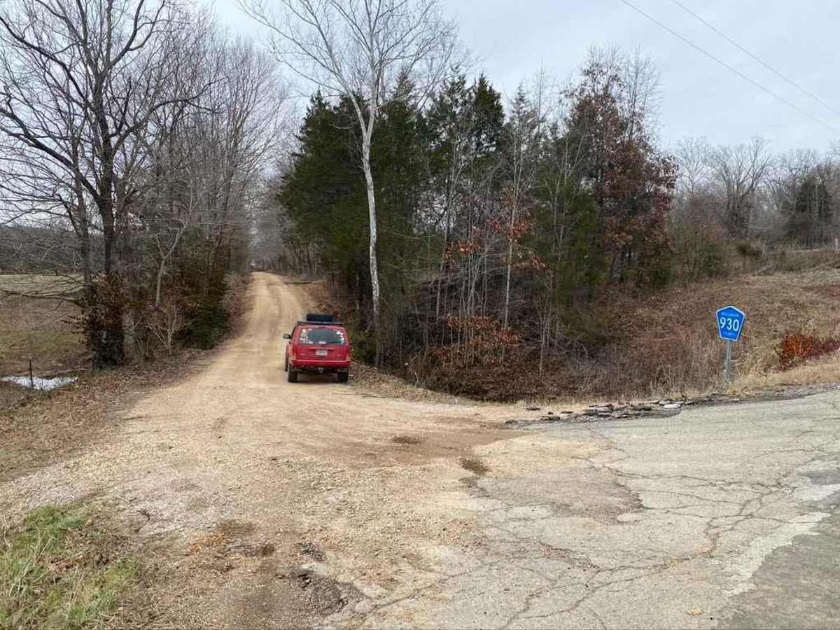
Whitewater Creek Road is an easy, scenic gravel route ideal for beginners, overland families, and stock four-wheel-drive vehicles looking to enjoy a peaceful drive along the Whitewater River. Spanning approximately 2.75 miles and connecting Bollinger County Road 930 with Perry County Road 722, this scenic connector near Yount and Patton, Missouri, features a mostly level path with a gentle elevation gain of around 102 feet. While the route is generally mild, drivers should expect occasional washboarding, small potholes, and minor water-collection spots along the way. Earning a technical rating of 2 out of 10, the primary challenge comes from sections of coarse, loose gravel, over-mounded soft dirt, and areas where natural bedrock occasionally pops through the surface. Standard SUVs, high-clearance crossovers, and SxSs can easily navigate the trail, though airing down slightly can help smooth out the washboards. This county-maintained bypass serves as a valuable route through the local rolling hills, and travelers can pair their trip with a stop at The Butcher Block in Patton for fresh meats and sandwiches.

Photos of Whitewater Creek Road

Difficulty

The only reason I give it a 2/10 is for the course loose gravel that exists on the road along with over-mounding sections that can be rather soft.

Technical Rating

2

Status Reports

Add Status Report
Mike Lang
Dec 01, 2024
2018 Toyota 4Runner
Open
Chris Menz
Mar 18, 2023
1999 Jeep Cherokee
Open

Whitewater Creek Road Trail can be accessed by the following ride types:

  • High Clearance
  • Full Width

Whitewater Creek Road Map

The onX Offroad Difference

onX Offroad combines trail photos, descriptions, difficulty ratings, width restrictions, seasonality, and more in a user-friendly interface. Available on all devices, with offline access and full compatibility with CarPlay and Android Auto. Discover what you're missing today!

Open Trail Map