
Beginner Off-Road Trails
Near Randsburg, California
Explore All Beginner Trails Near Randsburg, California
Beginner Off-Road Trails Near Randsburg, California
Discover the best beginner-friendly off-road trails near you. These easier, lower-rated trails are a great place to start — browse trail maps, check difficulty ratings, and find your next adventure.
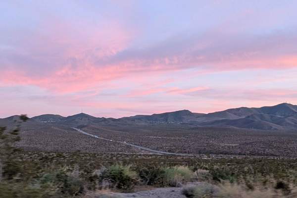
BLM RM26
This sand and gravel route departs Highway 395 running parallel to railroad tracks through terrain lined with diverse desert brush including creosote bushes, smoke trees, and other flora. Nice views showcase surrounding mountains including Galileo Hill, Saddleback Mountain, and Red Mountain creating...
Learn more about BLM RM26
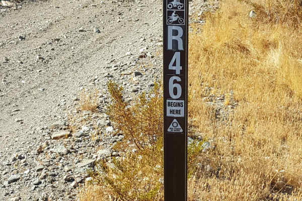
R46
This is a scenic, easy rolling, point-to-point trail on the west side of the Rand Mountains. The trail surface is primarily packed dirt, single-vehicle-wide, and generally flat except where it dips up to a foot or two into crosscutting sandy washes. There are also stretches with shallow ruts and sma...
Learn more about R46
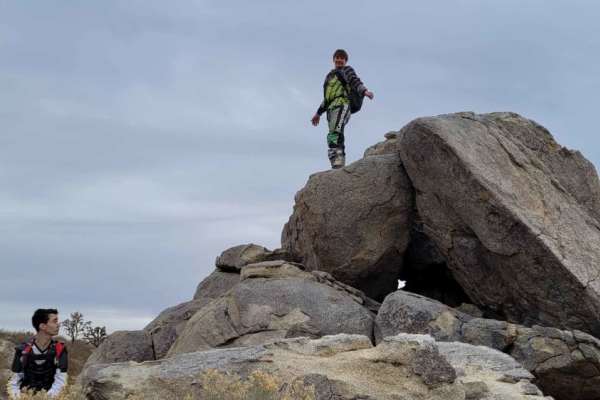
R20
R20 is a scenic, 6.7-mile dirt trail through the rolling foothills of the Rand Mountains, just south of Sidney Peak. With a technical rating of 1, this wide, gentle route features sweeping curves and desert vistas, making it accessible to standard all-wheel-drive and four-wheel-drive vehicles. The t...
Learn more about R20
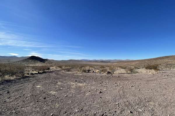
Rocky Little Wilderness Border Loop
The Rocky Little Wilderness Border Loop is a short, two-mile offroad trail in the Mojave Desert near the El Paso Mountains. It offers quick highway access and dispersed camping suitable for large RVs. Near the wilderness boundary, the trail narrows, presenting sharp rocks, deep washouts, and tight s...
Learn more about Rocky Little Wilderness Border Loop
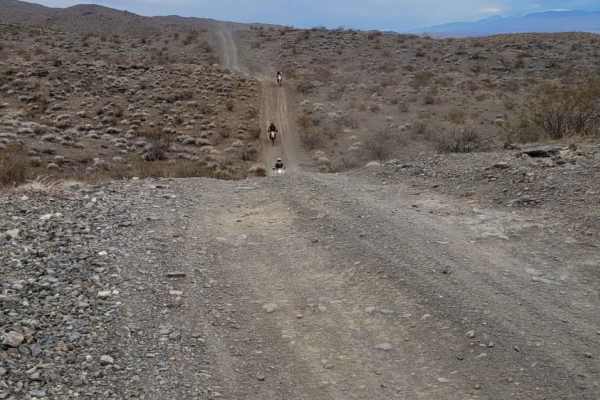
R44
Located in the Mojave desert in California, this trail runs alongside the Rand Mountain Range and is suitable for all off-road vehicles. This trail contains nice elevation gains with a fun trail that rolls and intersects with trail R110 that takes you in/from Randsburg, a local old western town full...
Learn more about R44
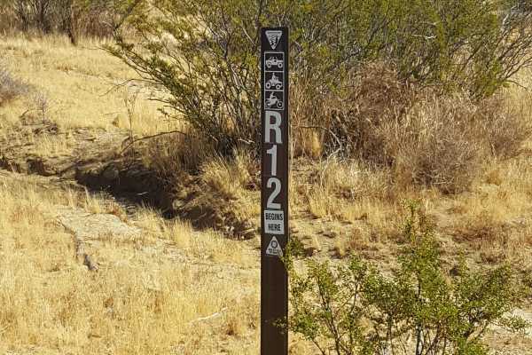
R22
This is an easy, scenic point-to-point trail on the east side of the Rand Mountains. The trail surface is primarily packed dirt and generally flat with occasional small embedded rocks. There are also shallow ruts in places, but 2WD vehicles with moderate clearance should be able to complete it witho...
Learn more about R22
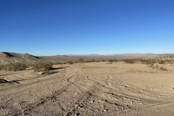
Old Searles Station Road
This appears to be the main cut across the road for dispersed camping. There are plenty of fire rings and flat spots to pick from. The road is mostly graded, and some washboard with plenty of room to pass oncoming traffic. The trail may be impassable when muddy. 3 bars 5G. There may be train and hig...
Learn more about Old Searles Station Road
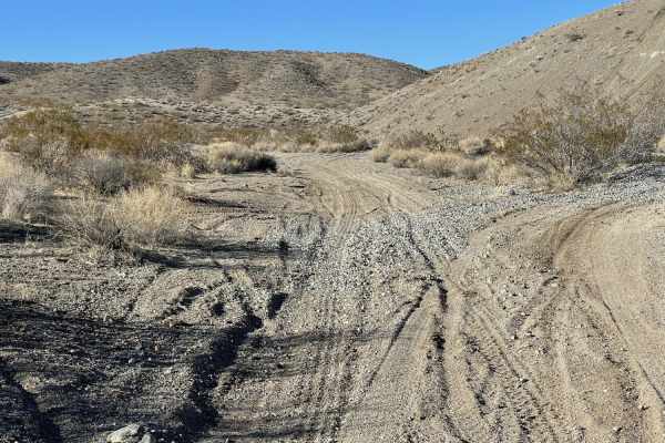
Old Railroad Grade to New Tracks
The trail starts at the north end with a hard-packed dirt road. It passes through an open meadow before coming to a massive, open, dispersed camping area with many fire rings. It then continues south until it links up with the old railroad grade. This section is a "choose your own adventure" area, a...
Learn more about Old Railroad Grade to New Tracks
Mesquite Canyon South
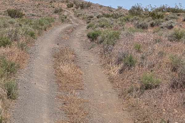
The trail starts off at Red Rock Randsberg Road on this limited-use trail, staying on established routes throughout. The corridor is lined with creosote bushes and desert grasses as we pushed north on a gravel and sand track about one and a half vehicles wide. This is the main southern approach to S...
Learn more about Mesquite Canyon South
Lower Murano Road
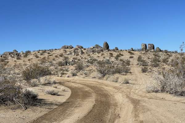
It's a generally sandy two-track trail with plenty of bermed corners and some deeper washouts. The trail progresses and crosses through some impressive large rocks. Watch for desert tortoises and military planes buzzing the deck VERY LOW. If you are lucky, one of the pilots may wave at you! There ar...
Learn more about Lower Murano Road
R50
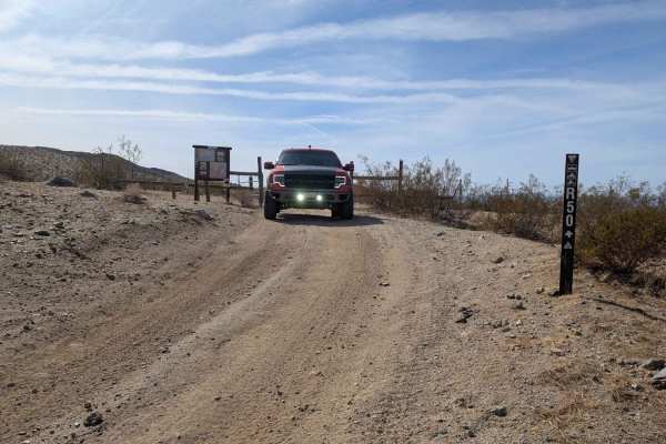
This is a long, meandering trail along the base of the Rand Mountains on the Garlock side. There are a lot of loose rocks, some sand washes, and a few larger ruts. Watch for flash floods, the washes can fill up fast in thunderstorms. The cell signal is weak.
Learn more about R50
EP207 Summit
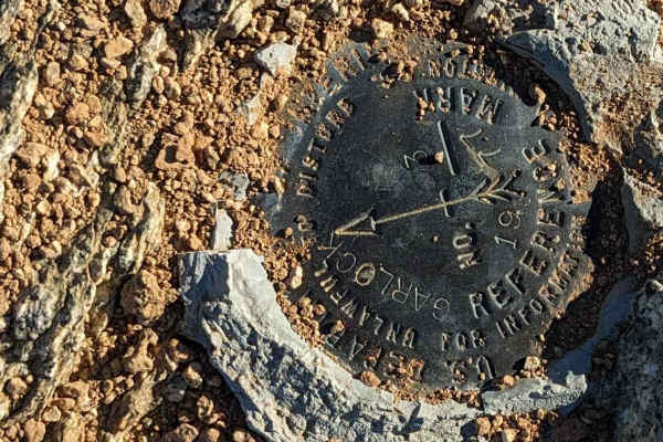
This side trail, EP207, travels over 1,000 feet in just 1.5 miles up to the summit overlooking Red Rock/Randsberg Road. The double-track trail is just wide enough for a single vehicle. There are a few steep sections but the views of Koehn Lake and the Rand Mountains are worth the trek up.
Learn more about EP207 Summit
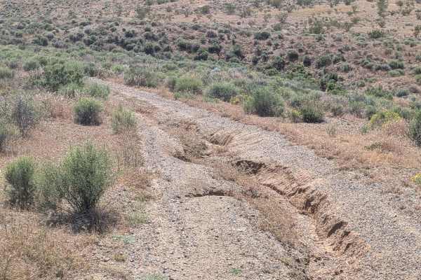
BLM EP132
EP132 is a recently opened motorized route, formerly designated non-motorized, now marked and posted by the BLM. The single-vehicle-wide trail cuts through a small canyon filled with low brush and desert grasses. Overgrown vegetation along the center of the track means vehicles with low ground clear...
Learn more about BLM EP132
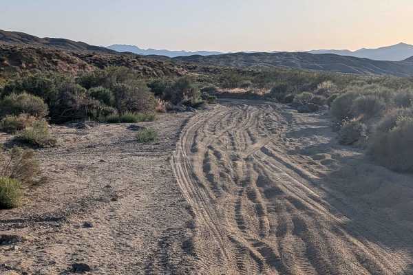
Bickel Camp - BLM EP30
Bickel Camp (BLM EP30) begins off EP15 and ends at the historic Bickel Camp, running one vehicle wide on a gravel and sand surface with beautiful views of the surrounding mountains. Deeper sand and washboards appear when the route drops into wash sections. Please watch your speed when passing throug...
Learn more about Bickel Camp - BLM EP30
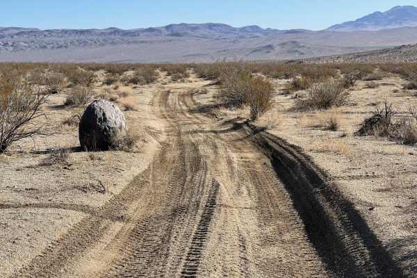
Kiss The Boundary
Kiss The Boundary is an exciting, fast-paced desert track perfect for novice to intermediate offroaders looking to experience the rolling terrain and sweeping vistas of the Spangler Hills OHV Area. This 3.9-mile route features a mix of soft sand and dirt, skirting the boundary line between the open ...
Learn more about Kiss The Boundary
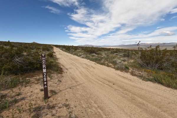
RM29
Easy desert track through dry brush and rocks. There are whoops and washes to cross, so be careful if you gather too much speed on this straight track. This follows a fence for environmental conservation, so stay on track. This will end at the Golden Valley Wilderness (or start there, based on where...
Learn more about RM29
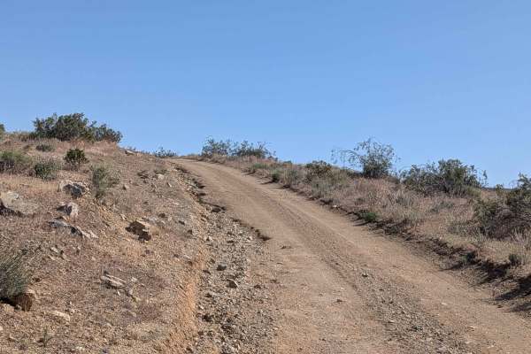
Bonanza Gulch - BLM EP15
This trail serves as a primary access route to the famous Schmidt's Tunnel, the historical Bickle Camp, as well as many other trails. The trail surface is gravel and fine pumice-like sand. The trail sees heavy traffic, which is reflected in the persistent washboard conditions throughout. Be sure to ...
Learn more about Bonanza Gulch - BLM EP15
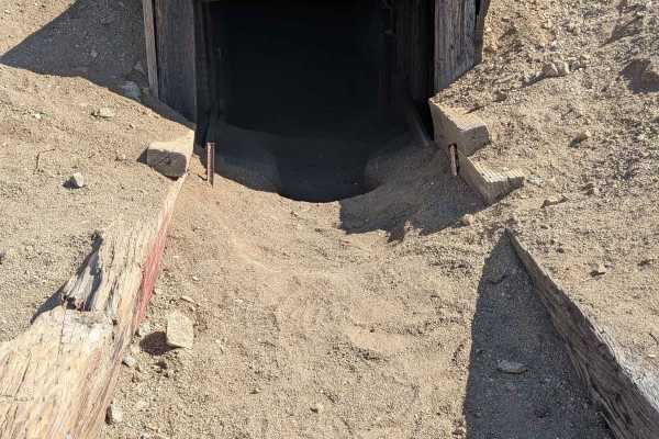
Burro Schmidt Tunnel - BLM EP103
Schmidt Tunnel (BLM EP103) is one of the most heavily used trails in the area and serves as the primary access route to the Schmidt Tunnel. Running one and a half to two vehicles wide, the surface consists of loose sand with occasional sections of small rocks. Heavy traffic has left persistent washb...
Learn more about Burro Schmidt Tunnel - BLM EP103
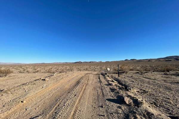
Valley Crossover
A solid hardpacked trail across the middle of the valley. Many of the trails are whooped out and very sandy in the area. This trail leads to Pinnacle road and has a few steep hills, bermed corners, and sharp rocks. The trail is an easy access point to the Golden Valley Wilderness for hiking or horse...
Learn more about Valley Crossover
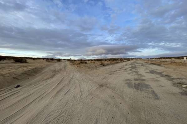
Easy Way to Camp From Trona Road
This trail starts out easy for larger rigs to access dispersed camping areas. It should be very doable for trailers and Motorhomes. Be sure to stop at the last large open space on the NE side of the trail. The trail gets narrow and soft as it continues up the hill. Once on top of the hill, you will ...
Learn more about Easy Way to Camp From Trona Road
Beginner ATV trails near Randsburg, California
Explore ATV-friendly trails near you. These trails are accessible for vehicles up to 50 inches wide, perfect for ATVs and smaller off-road machines.
BLM RM26
This sand and gravel route departs Highway 395 running parallel to railroad tracks through terrain lined with diverse desert brush including creosote bushes, smoke trees, and other flora. Nice views showcase surrounding mountains including Galileo Hill, Saddleback Mountain, and Red Mountain creating...
Learn more about BLM RM26
R46
This is a scenic, easy rolling, point-to-point trail on the west side of the Rand Mountains. The trail surface is primarily packed dirt, single-vehicle-wide, and generally flat except where it dips up to a foot or two into crosscutting sandy washes. There are also stretches with shallow ruts and sma...
Learn more about R46
R20
R20 is a scenic, 6.7-mile dirt trail through the rolling foothills of the Rand Mountains, just south of Sidney Peak. With a technical rating of 1, this wide, gentle route features sweeping curves and desert vistas, making it accessible to standard all-wheel-drive and four-wheel-drive vehicles. The t...
Learn more about R20
Rocky Little Wilderness Border Loop
The Rocky Little Wilderness Border Loop is a short, two-mile offroad trail in the Mojave Desert near the El Paso Mountains. It offers quick highway access and dispersed camping suitable for large RVs. Near the wilderness boundary, the trail narrows, presenting sharp rocks, deep washouts, and tight s...
Learn more about Rocky Little Wilderness Border Loop
Beginner UTV/side-by-side trails near Randsburg, California
Find UTV and side-by-side trails near you. These trails accommodate vehicles up to 60 inches wide, ideal for UTVs, side-by-sides, and wider off-road rigs.
BLM RM26
This sand and gravel route departs Highway 395 running parallel to railroad tracks through terrain lined with diverse desert brush including creosote bushes, smoke trees, and other flora. Nice views showcase surrounding mountains including Galileo Hill, Saddleback Mountain, and Red Mountain creating...
Learn more about BLM RM26
R46
This is a scenic, easy rolling, point-to-point trail on the west side of the Rand Mountains. The trail surface is primarily packed dirt, single-vehicle-wide, and generally flat except where it dips up to a foot or two into crosscutting sandy washes. There are also stretches with shallow ruts and sma...
Learn more about R46
R20
R20 is a scenic, 6.7-mile dirt trail through the rolling foothills of the Rand Mountains, just south of Sidney Peak. With a technical rating of 1, this wide, gentle route features sweeping curves and desert vistas, making it accessible to standard all-wheel-drive and four-wheel-drive vehicles. The t...
Learn more about R20
Rocky Little Wilderness Border Loop
The Rocky Little Wilderness Border Loop is a short, two-mile offroad trail in the Mojave Desert near the El Paso Mountains. It offers quick highway access and dispersed camping suitable for large RVs. Near the wilderness boundary, the trail narrows, presenting sharp rocks, deep washouts, and tight s...
Learn more about Rocky Little Wilderness Border Loop
The onX Offroad Difference
onX Offroad combines trail photos, descriptions, difficulty ratings, width restrictions, seasonality, and more in a user-friendly interface. Available on all devices, with offline access and full compatibility with CarPlay and Android Auto. Discover what you're missing today!
Open Trail Map