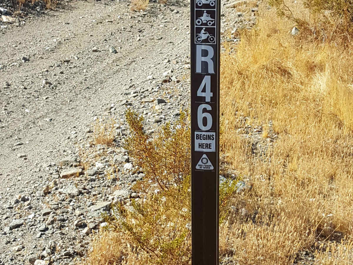
R46

Total Miles2.5
Technical Rating
3Easy
Best TimeSpring, Summer, Fall, Winter
Trail TypeFull-Width Road
Accessible By
Open Trail Map

Trail Overview

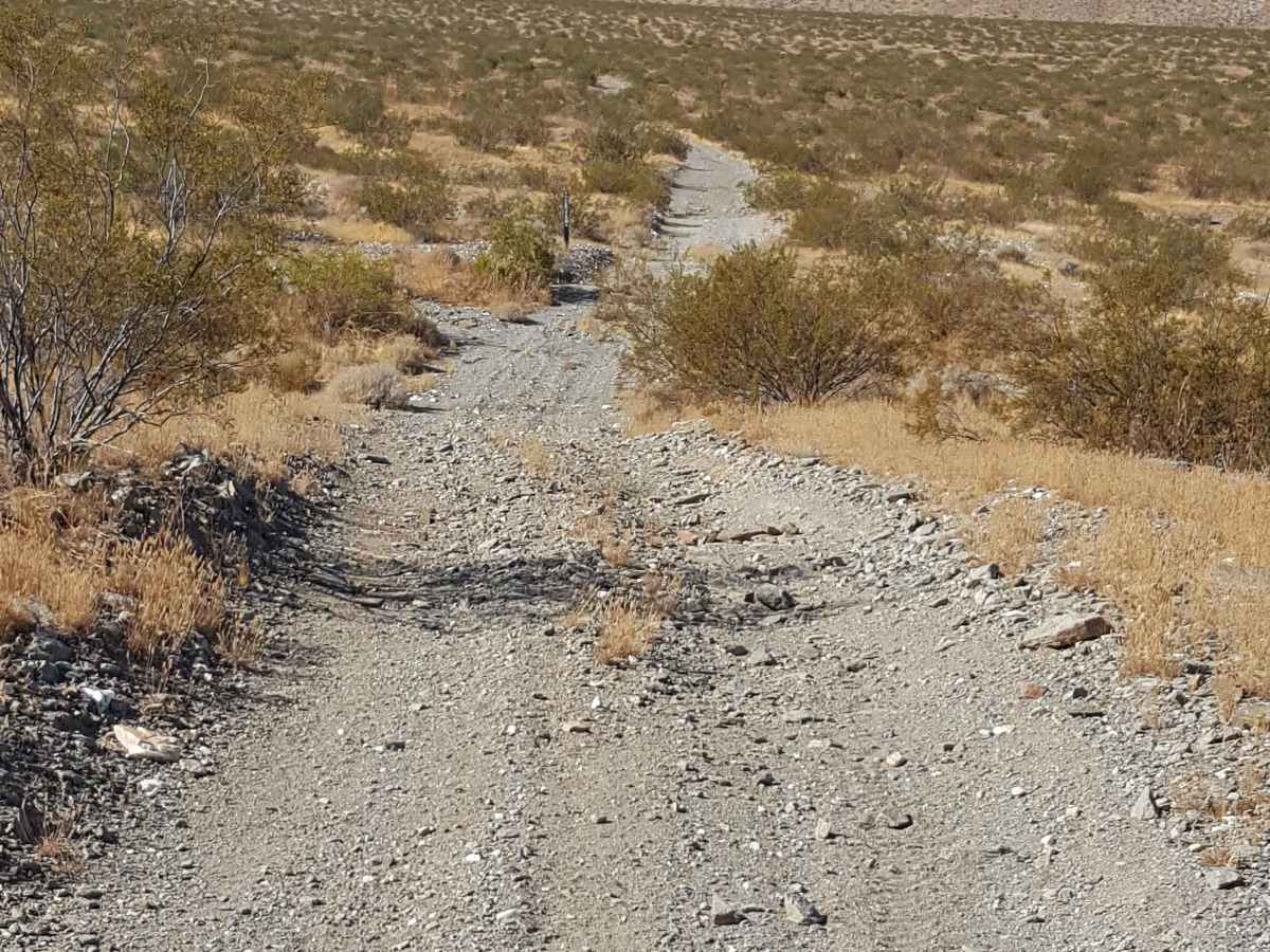
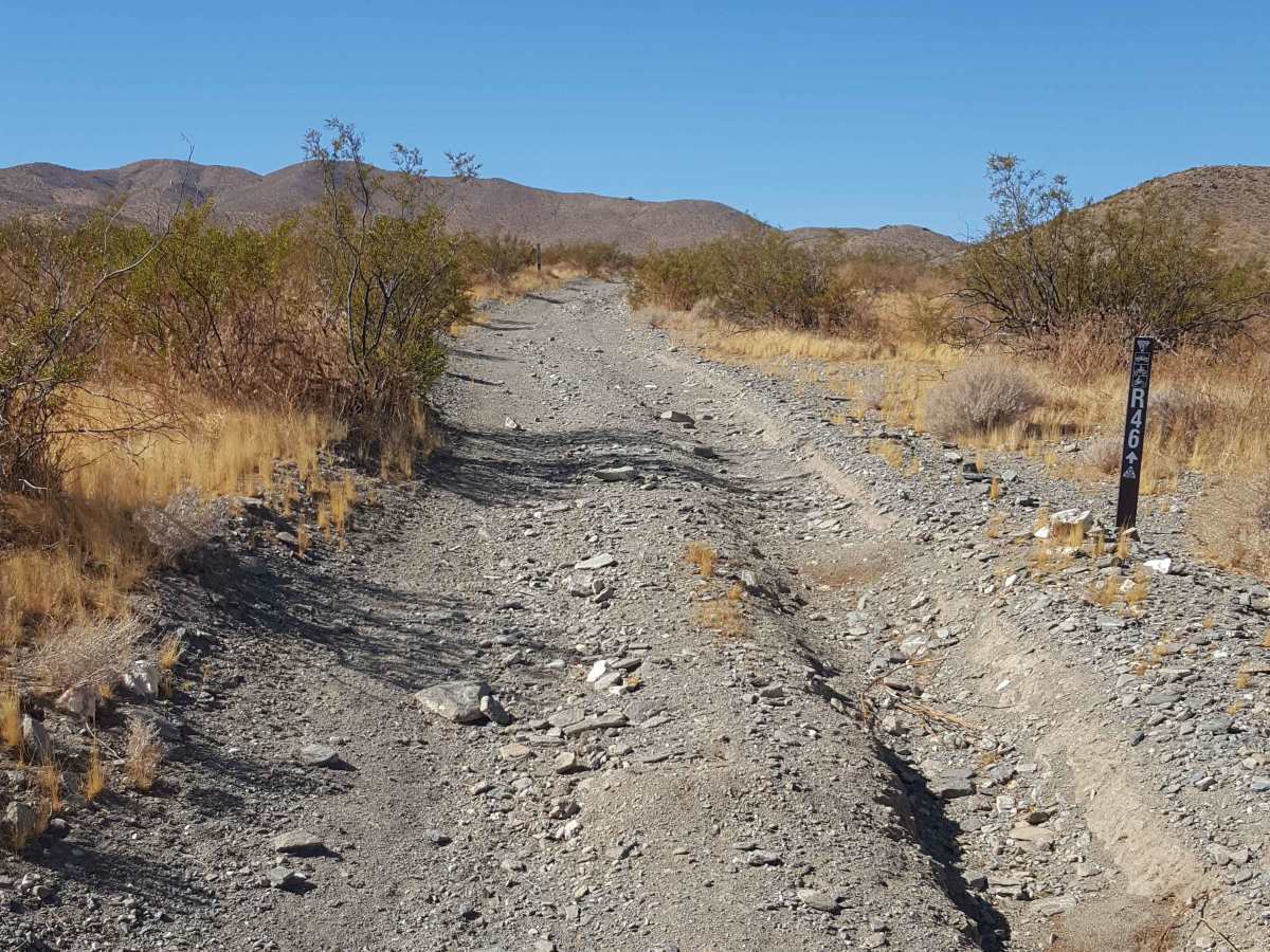
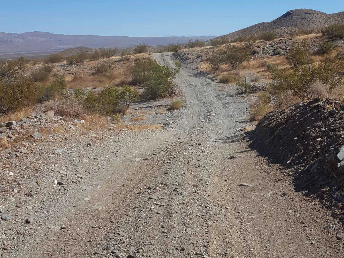
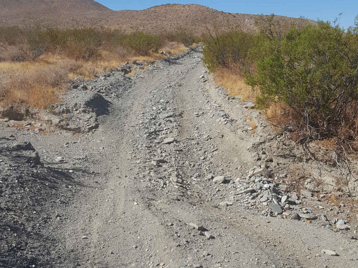
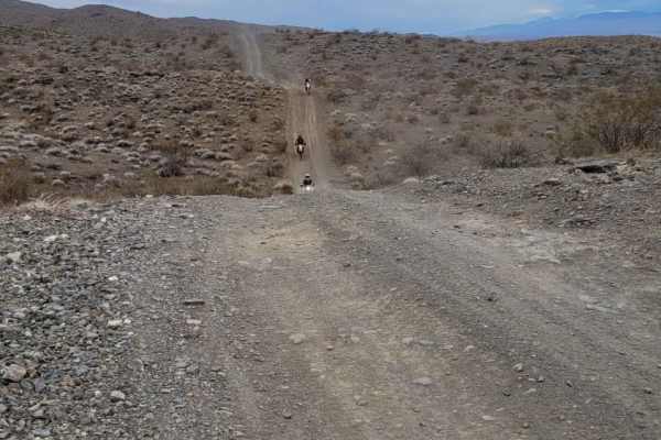
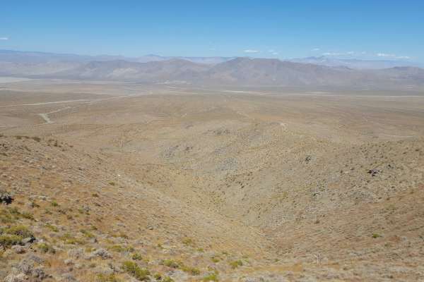
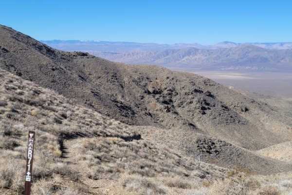
This is a scenic, easy rolling, point-to-point trail on the west side of the Rand Mountains. The trail surface is primarily packed dirt, single-vehicle-wide, and generally flat except where it dips up to a foot or two into crosscutting sandy washes. There are also stretches with shallow ruts and small embedded rocks. 2WD vehicles with moderate clearance should be able to handle this route, but 4WD is recommended. A Green Sticker permit is required for OHVs. Tread Lightly and pack it out.

Photos of R46

Difficulty

The trail surface is packed dirt, but there are short sandy stretches where it drops 1-2 feet into crosscutting washes. There are also occasional shallow ruts and small embedded rocks along the route.

Technical Rating

3

R46 Trail can be accessed by the following ride types:

  • Single Track
  • 50 Inch
  • 60 Inch
  • High Clearance
  • Full Width

R46 Map

The onX Offroad Difference

onX Offroad combines trail photos, descriptions, difficulty ratings, width restrictions, seasonality, and more in a user-friendly interface. Available on all devices, with offline access and full compatibility with CarPlay and Android Auto. Discover what you're missing today!

Open Trail Map