Trail Overview
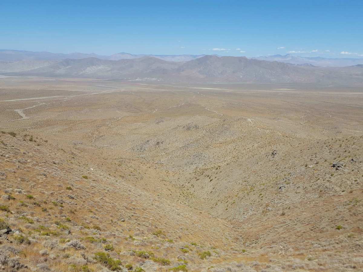
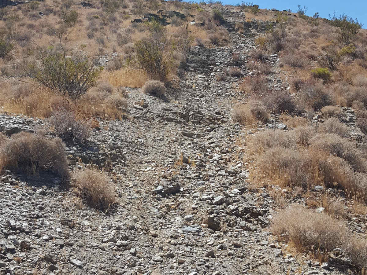
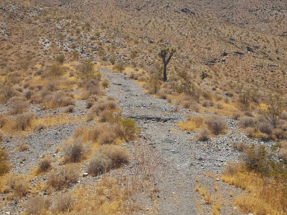
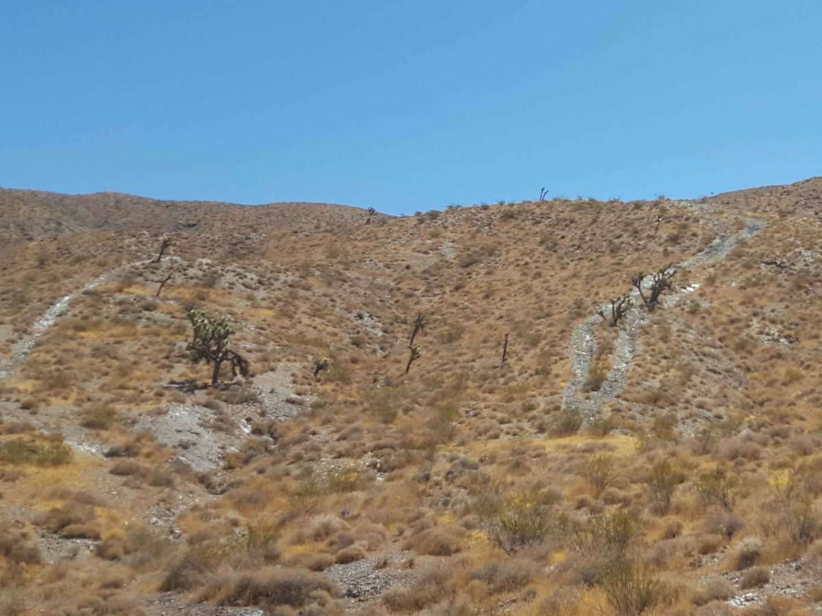
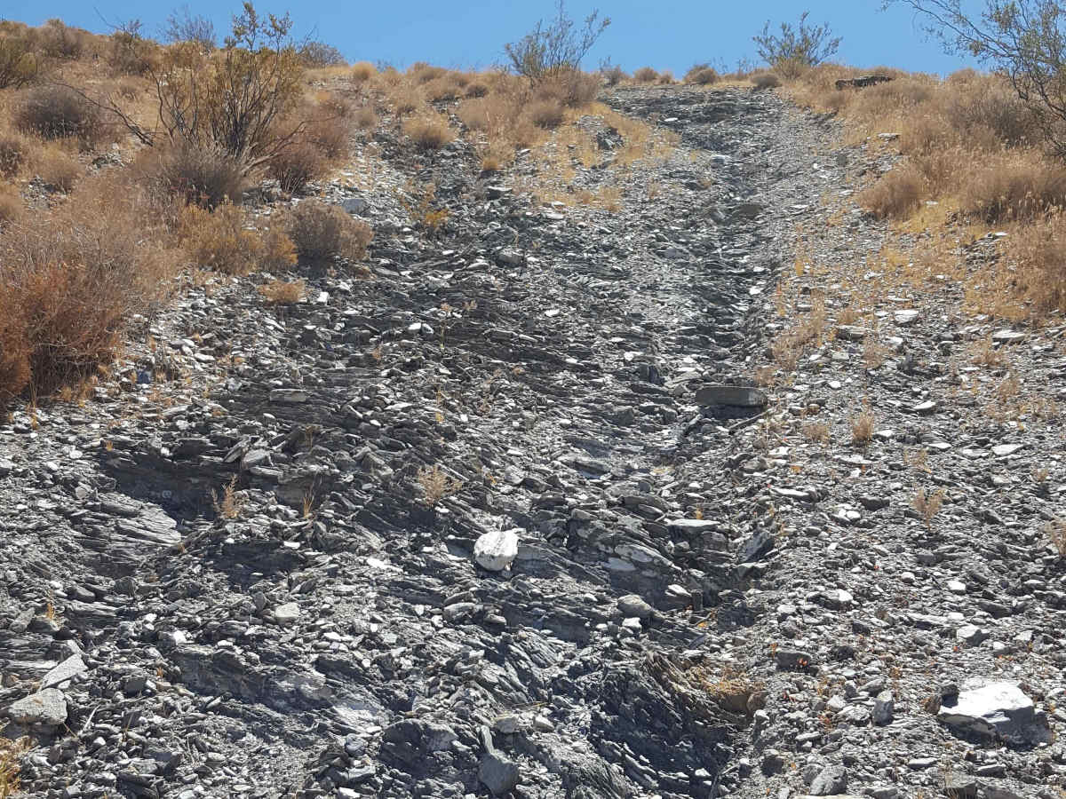
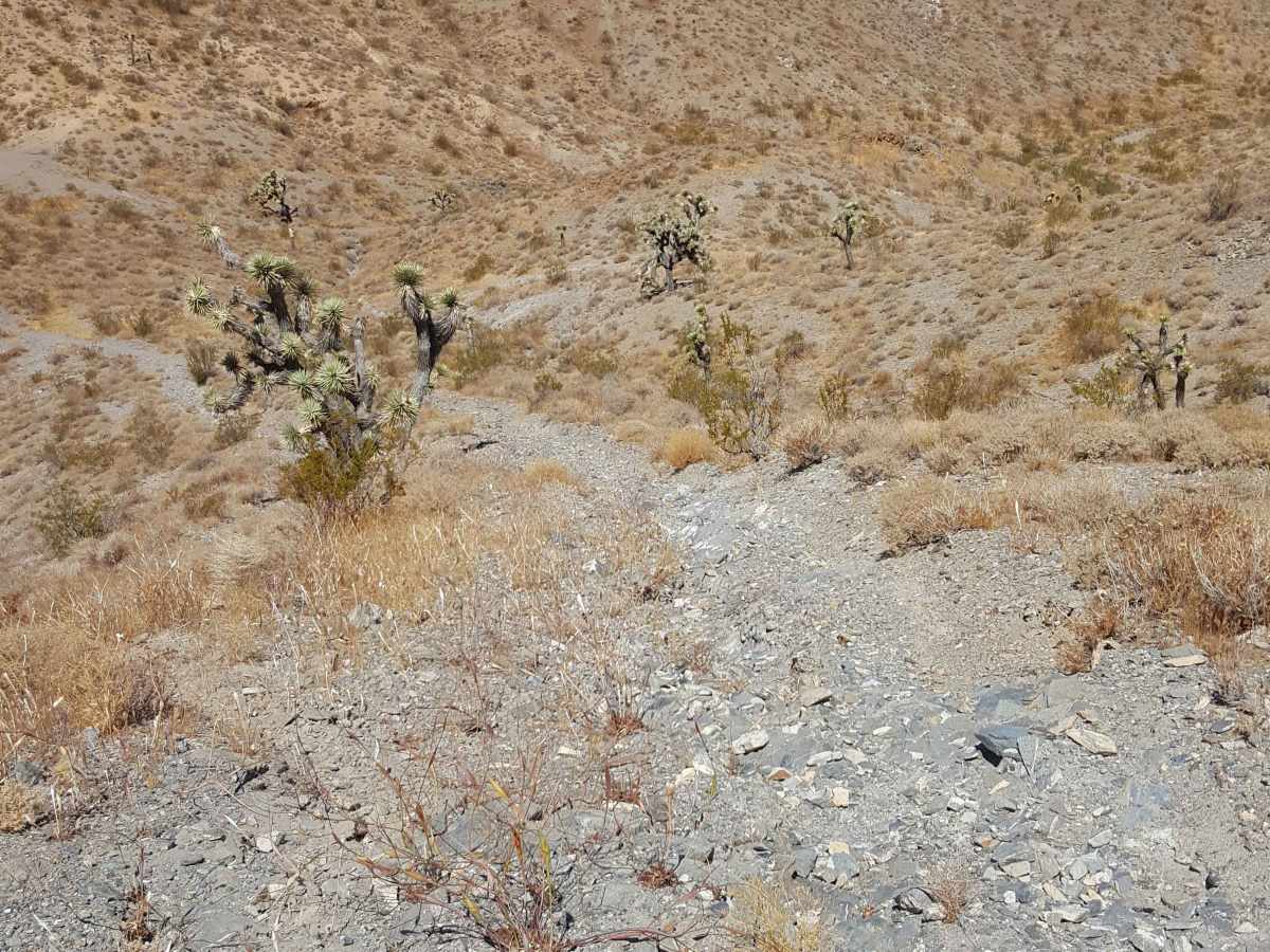
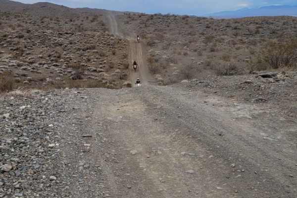
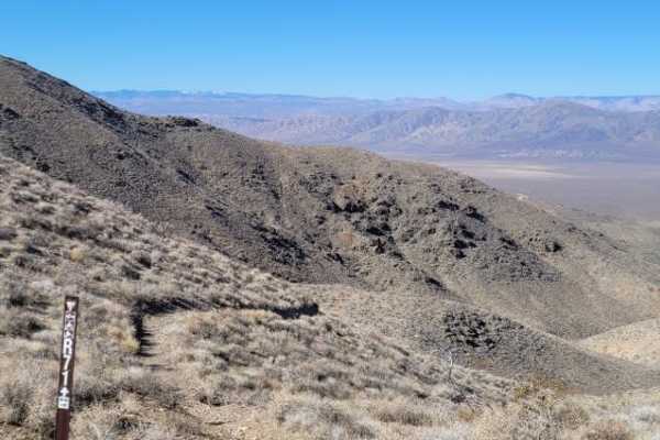
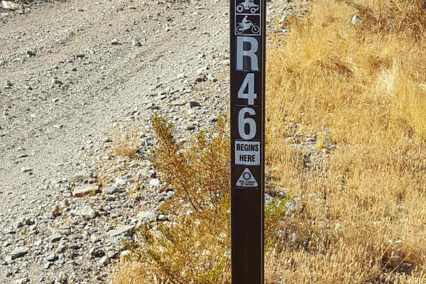
This single-track trail, which is restricted to dirt bike use only, climbs/descends about 850 ft in 0.9 miles. The trail is comprised of loose soil and shale with occasional larger embedded rocks as it follows a ridgeline down from the top of the Rand Mountains to the valley floor. There are a couple of short, steep sections over rock gardens and loose shale near the bottom half. However, it is not as long or severe as other single-track trails leading down from the top of the Rand Mountain ridgeline. Riding the downhill route will definitely be easier, but either direction should be achievable by experienced enduro riders. A Green Sticker is required for dirt bike use. Tread Lightly and Pack-It-Out.
Difficulty
The trail has a couple of short, steep sections over loose soil and rock gardens before flattening out near the top. The uphill route for dirt bikes raises the difficulty factor to the rating given to this trail.
History
This area has a rich history of mining, and there are still some active operations in the area. Note that on the northwest side of the area, next to Randsburg, there is an old mining area that has been fenced off due to high Arsenic content in the soil.