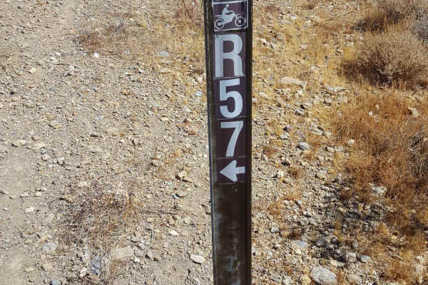
R22

Total Miles3
Technical Rating
2Easy
Best TimeSpring, Summer, Winter, Fall
Trail TypeFull-Width Road
Accessible By
Open Trail Map

Trail Overview

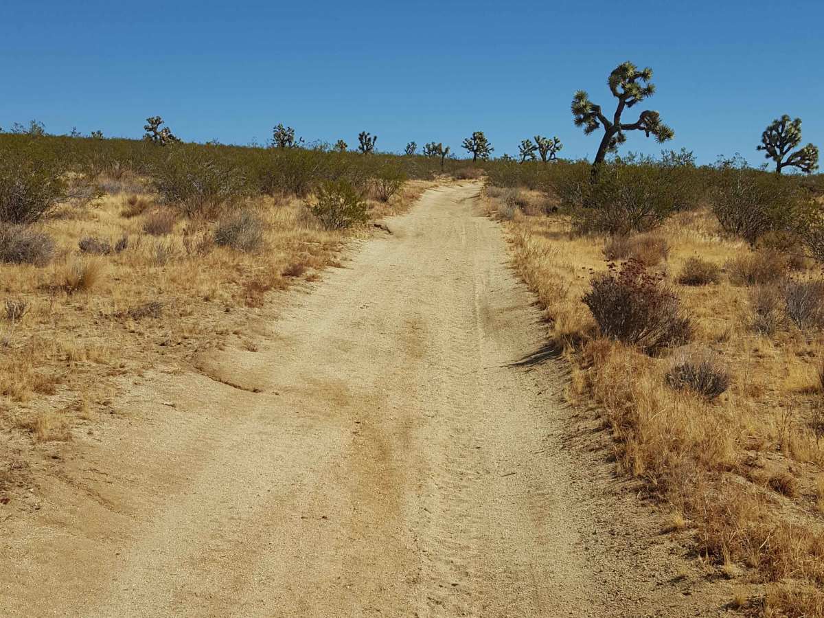
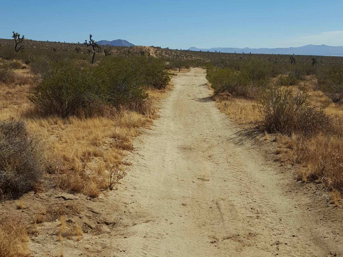
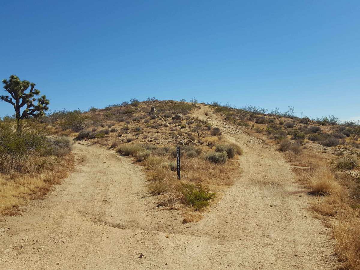
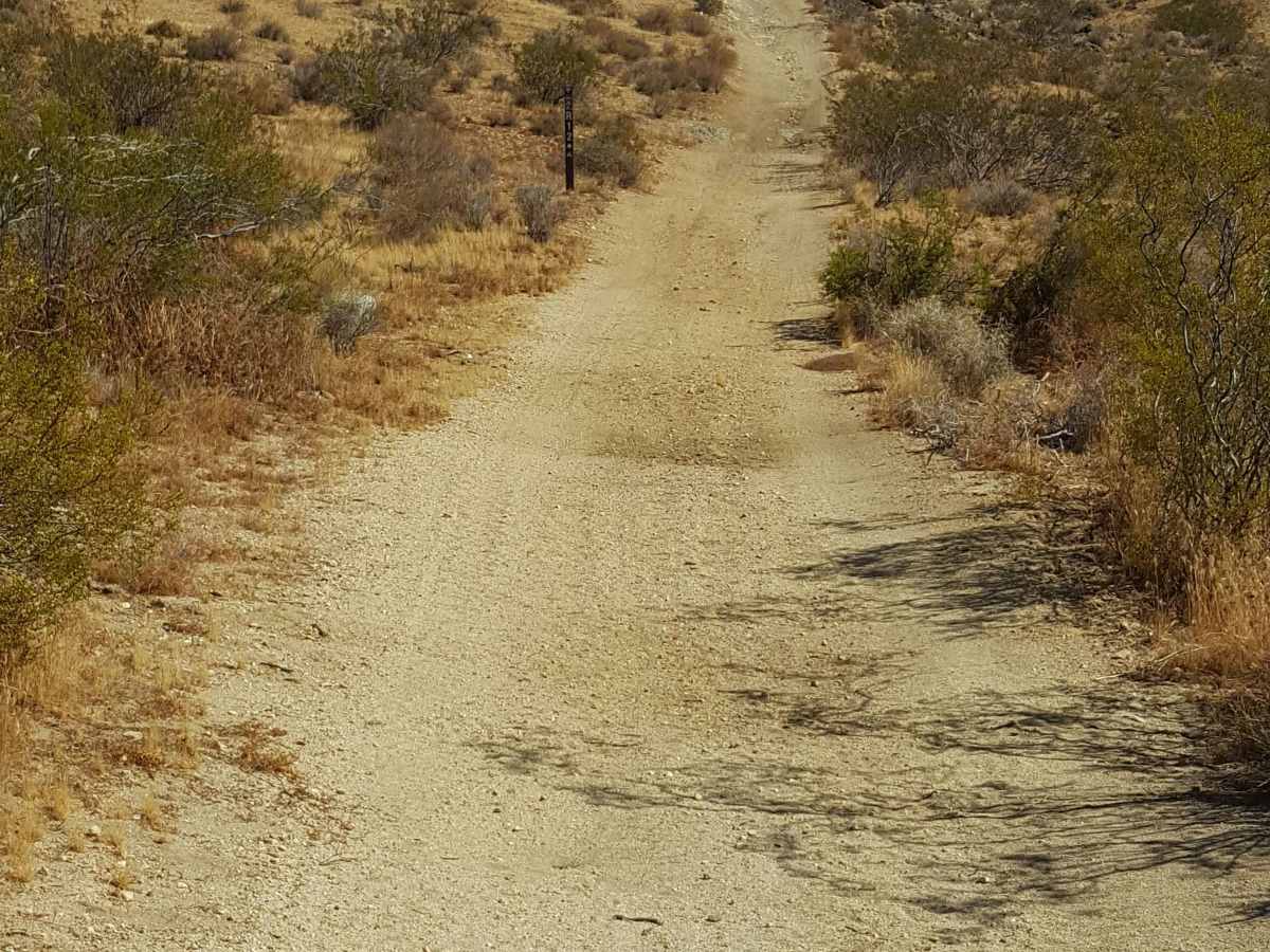
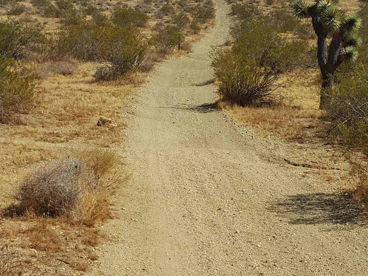
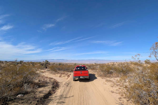
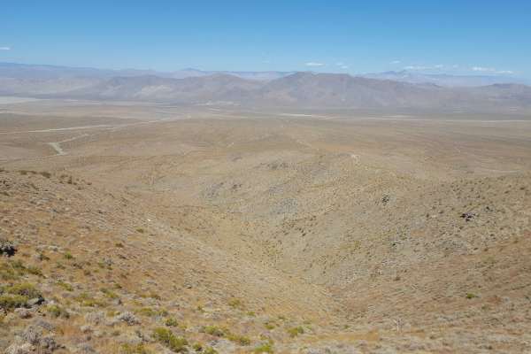
This is an easy, scenic point-to-point trail on the east side of the Rand Mountains. The trail surface is primarily packed dirt and generally flat with occasional small embedded rocks. There are also shallow ruts in places, but 2WD vehicles with moderate clearance should be able to complete it without issue. The trail ends on the north side near a commercial operation, but there are other connector trails nearby. A Green Sticker permit is required for OHVs. Tread Lightly and Pack-It-Out.

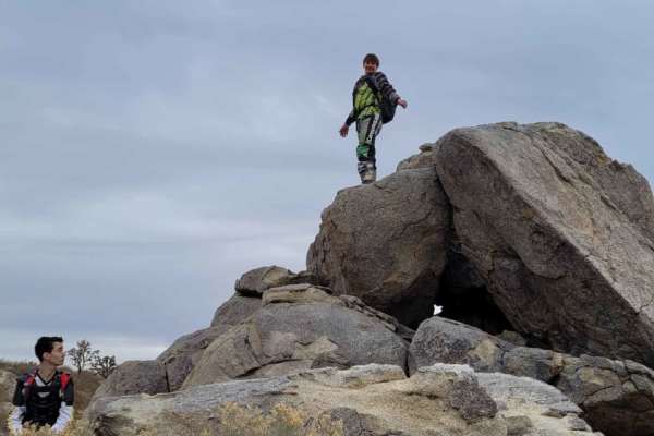
Photos of R22

Difficulty

The trail surface is generally flat and packed, but there are a few stretches with small embedded rocks and shallow ruts.

Technical Rating

2

R22 Trail can be accessed by the following ride types:

  • Single Track
  • 50 Inch
  • 60 Inch
  • High Clearance
  • Full Width

R22 Map

The onX Offroad Difference

onX Offroad combines trail photos, descriptions, difficulty ratings, width restrictions, seasonality, and more in a user-friendly interface. Available on all devices, with offline access and full compatibility with CarPlay and Android Auto. Discover what you're missing today!

Open Trail Map