R20

Total Miles6.7
Technical Rating
1Easy
Best TimeSpring, Fall, Winter
Trail TypeFull-Width Road
Accessible By
Open Trail Map

Trail Overview

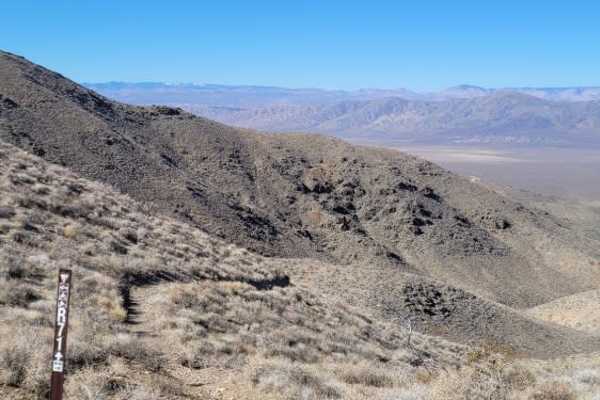
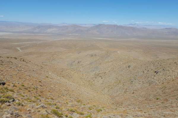
R20 is a scenic, 6.7-mile dirt trail through the rolling foothills of the Rand Mountains, just south of Sidney Peak. With a technical rating of 1, this wide, gentle route features sweeping curves and desert vistas, making it accessible to standard all-wheel-drive and four-wheel-drive vehicles. The trail ranges in elevation from 3,564 to 4,215 feet, with a mild cumulative elevation gain of approximately 707 feet. Situated within the Bureau of Land Management's Rand Mountain Management Area near Randsburg and Johannesburg, the trail serves as a key connector accessible via Randburg Highway or trail R10. Because it crosses sensitive desert tortoise habitat, vehicles must remain on designated routes. The unpaved dirt surface is best visited from late fall to early spring to avoid extreme summer heat.

Photos of R20

Difficulty

Any vehicle can pass through here, recommend AWD as a minimum for a 4 wheel vehicle.

Technical Rating

1

R20 Trail can be accessed by the following ride types:

  • Single Track
  • 50 Inch
  • 60 Inch
  • High Clearance
  • Full Width

Access Description

The trail is situated within the Rand Mountain Management Area, managed by the Bureau of Land Management (BLM). Visitors must stay on designated open routes to protect the local desert tortoise habitat. Vehicles must have current California OHV registration (green or red sticker) or street-legal registration.

R20 Map

The onX Offroad Difference

onX Offroad combines trail photos, descriptions, difficulty ratings, width restrictions, seasonality, and more in a user-friendly interface. Available on all devices, with offline access and full compatibility with CarPlay and Android Auto. Discover what you're missing today!

Open Trail Map