
Beginner Off-Road Trails
Near Ponderosa, New Mexico
Explore All Beginner Trails Near Ponderosa, New Mexico
Beginner Off-Road Trails Near Ponderosa, New Mexico
Discover the best beginner-friendly off-road trails near you. These easier, lower-rated trails are a great place to start — browse trail maps, check difficulty ratings, and find your next adventure.
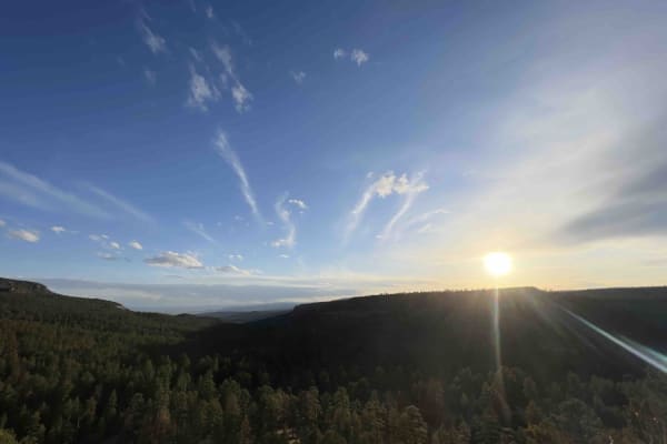
Bear Springs Road 266
When looking at the map, you can see that this road leads to private land, however, at the start of the trail, there is a sign that reads that it goes on for around 16 miles. This road starts as an easy gravel road and then transitions into areas where there is snow and washed-out roads. There are d...
Learn more about Bear Springs Road 266
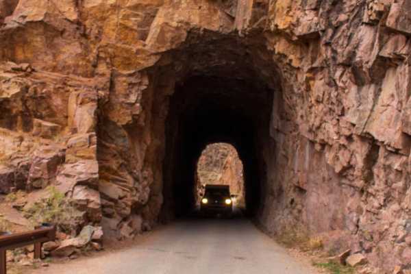
FS376
FS376 is a 23-mile long trail that weaves through the Jemez National Forest, gaining about 3,200 feet in elevation high above the Rio Guadalupe. This route takes you through the historic Gilman Tunnels, which were initially blasted to make way for the Santa Fe Northwestern Railway. Along the rest of...
Learn more about FS376
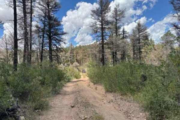
Revengers Ride
This route branches off Forest Service Road 376 past the Gilman Tunnels and follows part of the Old Peggy Mesa Road. The trail is generally easy, with a few moderate rocks near the start and occasional rocky patches further along. When wet, the surface can become slick with muddy ruts. A stock 4x4 w...
Learn more about Revengers Ride
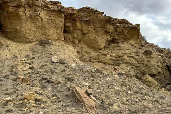
Cabezon Road
This gem of a route has many facets and is close to Albuquerque and Rio Rancho. The facets include geologic formations, bike trails, and hiking trails. The route is easy and there are nice parking areas to access the trails. Most of the route borders the Ojito Wilderness to the north and BLM land to...
Learn more about Cabezon Road
Forest Service Road 10
Forest Service Road 10 is an absolutely million-dollar view road guaranteed to leave you awestruck. The entrance off Highway 4 has been washed out so only trucks or high-clearance vehicles can maneuver the ditch obstacle. It's an easy gravel road with steep drop off's, steep hill climbs and larger r...
Learn more about Forest Service Road 10
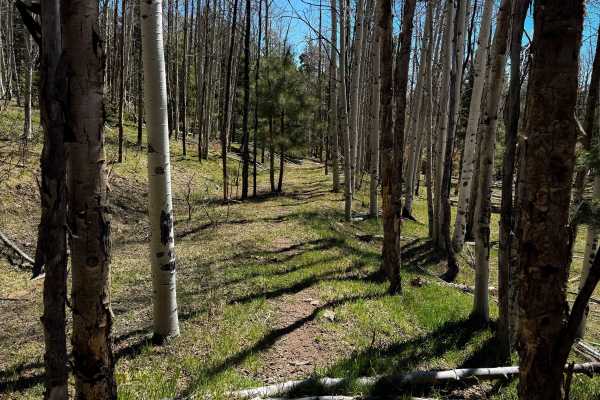
Lake Fork Mesa Loop - 505A
This is a primitive and lightly trafficked dirt bike trail in the Santa Fe National Forest. It’s unmarked at all entrances, and is difficult to find and follow, as it looks like it doesn’t get ridden often. It goes through a dry and sparse forested terrain of ponderosa pines, over lots of dirt and p...
Learn more about Lake Fork Mesa Loop - 505A
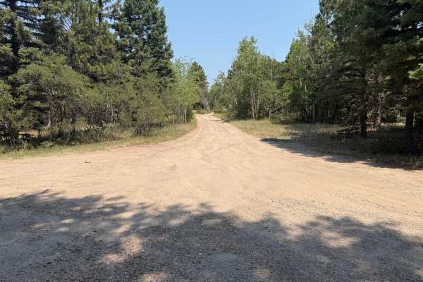
Hot Rock Road
This is a dead-end road that terminates at a great overlook. This is a fairly easy drive that offers many secluded camping opportunities. 4wd is not needed, but it is recommended to have a little more ground clearance than an average car, especially near the end of the trail; it gets a little rocky....
Learn more about Hot Rock Road
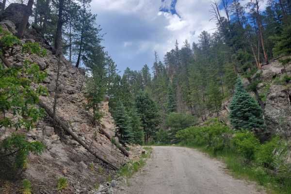
Sulphur Springs Road
This road is used to access the Sulphur Springs area on the western side of Valles Caldera. It is important to note that the road is closed short of the springs, and will require a short hike along the road to reach the springs area. This road goes through a neighborhood near the main road and then ...
Learn more about Sulphur Springs Road
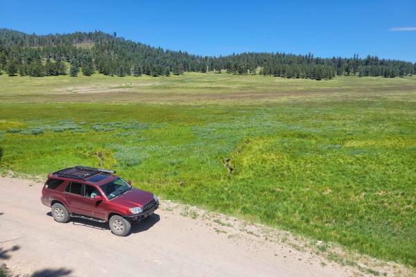
Valle Grande Edge
For those seeking unique vistas in the cool New Mexico high country, Valles Caldera is a must-visit opportunity. This is the main route through the center of Valles Caldera National Preserve. It crosses a wide-open ancient volcanic caldera and winds through several cinder cones before accessing the ...
Learn more about Valle Grande Edge
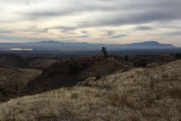
St. Peters Dome Wilderness Exploration Route
This is one of the more varied trails in New Mexico in terms of scenery and topography. Starting in the Jemez mountains with large pine forests, this trail transitions to mesa prairie, and then dives down a canyon into the desert around Cochiti pueblo. The drive is easy, mostly consisting of dirt ro...
Learn more about St. Peters Dome Wilderness Exploration Route
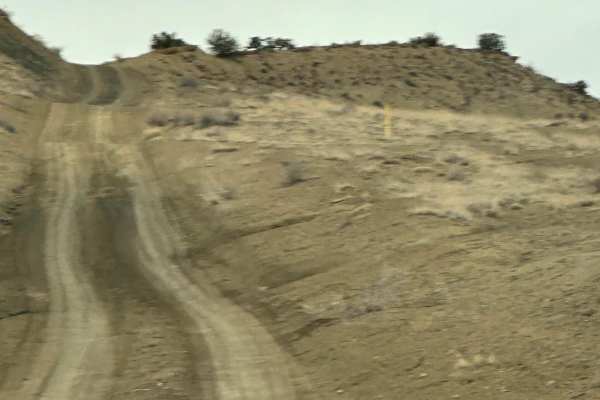
South Pipeline Road
This route follows the pipeline easement along the Ojito Wilderness to the east and through Zia Pueblo land. It connects Cabezon Road with Backway to Cabezon Peak or the North Pipeline Road. The route has some bumps, dips, and ruts and can be slick with the slightest bit of moisture.
Learn more about South Pipeline Road
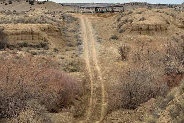
North Pipeline Road
This route connects the Old State Highway 279 off Highway 550 with South Pipeline Road, or Backway to Cabezon Peak. There is one major obstacle through the Rio Puerco Arroyo at the northern end. The water can run deep through the narrow, steep drainage and both sides can be slick.
Learn more about North Pipeline Road
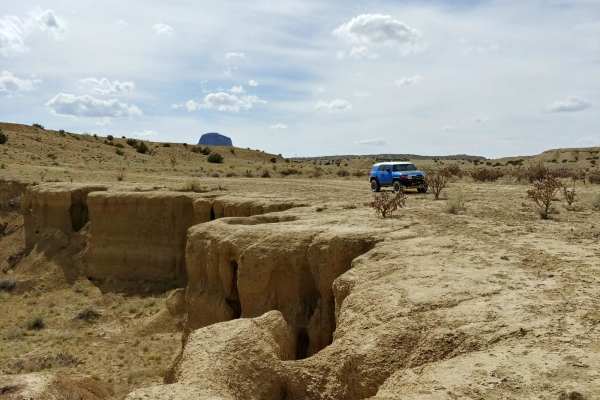
Backway to Cabezon Peak
This set of well maintained, dirt roads provides access to Cabezon Peak from nearby Pipeline Road. It passes through some typical New Mexican high-desert scenery, with shrubs and cacti on either side of a winding dirt road. It takes you up a ridge with excellent views of the surrounding desert and ...
Learn more about Backway to Cabezon Peak
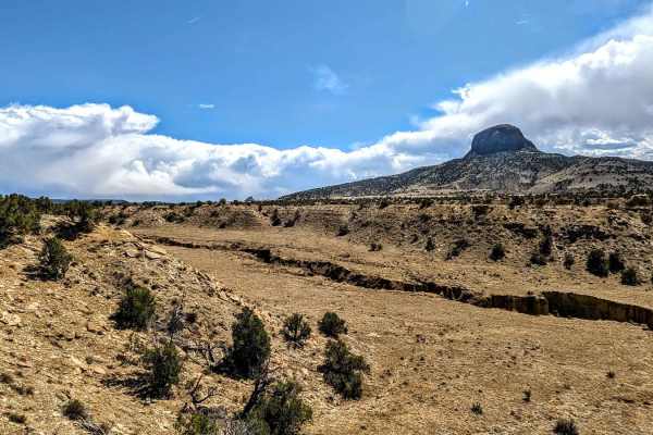
Cabezon Detour
This route might be a good alternative route when certain sections of "Backway to Cabezon" are washed out. The trail coincides with BLM 1113 for some sections but is rerouted for the portion of BLM 1113 that is closed to vehicles. There is a wire gate that one must pass through;please be sure to clo...
Learn more about Cabezon Detour
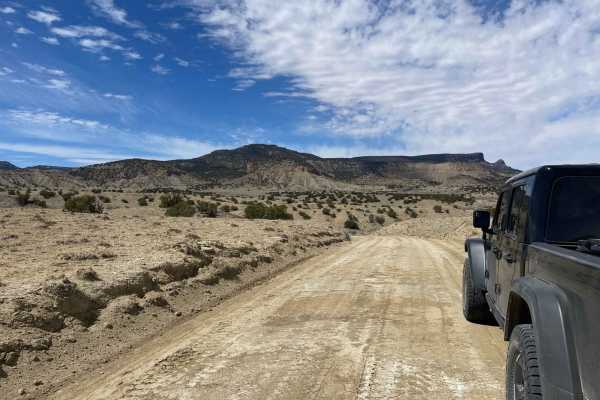
San Luis Road to Guadalupe
San Luis Road to the Guadalupe Ruins is a fairly well-maintained dirt road, although there may be some ruts and sandy portions depending on the time of year. The 20-mile drive will provide opportunities to admire the high desert landscape and various geologic rock formations. There are no obstacles ...
Learn more about San Luis Road to Guadalupe
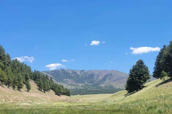
Valle Toledo Road
This scenic route drives through the eastern edge of Valle San Antonio, before going through a ravine and opening into the wide open spaces of Valle Toledo. It is the primary access route for many of the backcountry hiking routes on the eastern side of Valles Caldera. Attractions in the area include...
Learn more about Valle Toledo Road
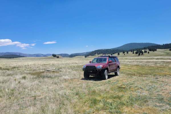
Valle San Antonio Road
Valle San Antonio forms the main portion of the backcountry in the northern half of Valles Caldera. This wide valley has a small creek running through the bottom, with numerous opportunities for fishing and hiking, off the main road. This road starts from the T marking the end of the Valle Grande Ed...
Learn more about Valle San Antonio Road
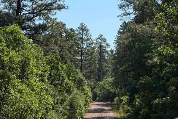
West Trail Creek - FR 20
This route travels through piñon and juniper trees in the lower elevation and ponderosa pine trees and Aspen at the higher elevations. The trail is sandy and rutted in a few spots. There is a nice dispersed camping area with a beautiful overlook on the south side once you climb the ridge. There is r...
Learn more about West Trail Creek - FR 20
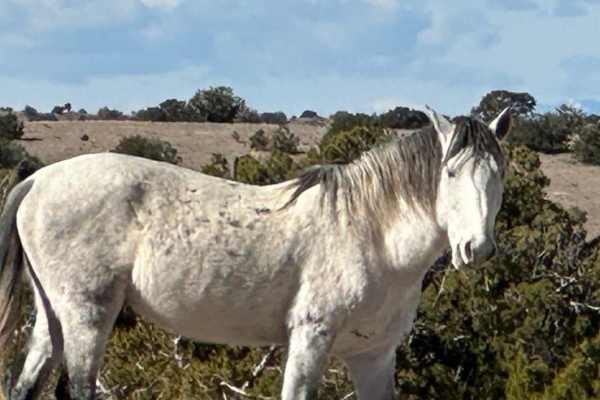
Wild Horse Shortcut
This route is easy but can be more difficult due to weather conditions. This shortcut connects I-25 to Highway 14, the Turquoise Trail. There is private land on both sides of the road with barbed wire fencing. Look carefully beyond the barbed wire and you might see the majestic wild horses of centra...
Learn more about Wild Horse Shortcut
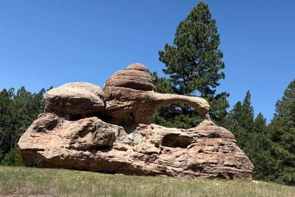
Teakettle Rock - FR 103
This easy, beautiful mountain route travels through aspen stands, ponderosa pines, and gorgeous open meadows. FR 103 Teakettle Rock can be reached from Highway 96 by traveling south on the OnX trail "Run to the Rio Puerco Campground" and from Highway 126 traveling north around mile marker 16. The pi...
Learn more about Teakettle Rock - FR 103
Beginner ATV trails near Ponderosa, New Mexico
Explore ATV-friendly trails near you. These trails are accessible for vehicles up to 50 inches wide, perfect for ATVs and smaller off-road machines.
Bear Springs Road 266
When looking at the map, you can see that this road leads to private land, however, at the start of the trail, there is a sign that reads that it goes on for around 16 miles. This road starts as an easy gravel road and then transitions into areas where there is snow and washed-out roads. There are d...
Learn more about Bear Springs Road 266
FS376
FS376 is a 23-mile long trail that weaves through the Jemez National Forest, gaining about 3,200 feet in elevation high above the Rio Guadalupe. This route takes you through the historic Gilman Tunnels, which were initially blasted to make way for the Santa Fe Northwestern Railway. Along the rest of...
Learn more about FS376
Revengers Ride
This route branches off Forest Service Road 376 past the Gilman Tunnels and follows part of the Old Peggy Mesa Road. The trail is generally easy, with a few moderate rocks near the start and occasional rocky patches further along. When wet, the surface can become slick with muddy ruts. A stock 4x4 w...
Learn more about Revengers Ride
Cabezon Road
This gem of a route has many facets and is close to Albuquerque and Rio Rancho. The facets include geologic formations, bike trails, and hiking trails. The route is easy and there are nice parking areas to access the trails. Most of the route borders the Ojito Wilderness to the north and BLM land to...
Learn more about Cabezon Road
Beginner UTV/side-by-side trails near Ponderosa, New Mexico
Find UTV and side-by-side trails near you. These trails accommodate vehicles up to 60 inches wide, ideal for UTVs, side-by-sides, and wider off-road rigs.
Bear Springs Road 266
When looking at the map, you can see that this road leads to private land, however, at the start of the trail, there is a sign that reads that it goes on for around 16 miles. This road starts as an easy gravel road and then transitions into areas where there is snow and washed-out roads. There are d...
Learn more about Bear Springs Road 266
Revengers Ride
This route branches off Forest Service Road 376 past the Gilman Tunnels and follows part of the Old Peggy Mesa Road. The trail is generally easy, with a few moderate rocks near the start and occasional rocky patches further along. When wet, the surface can become slick with muddy ruts. A stock 4x4 w...
Learn more about Revengers Ride
Cabezon Road
This gem of a route has many facets and is close to Albuquerque and Rio Rancho. The facets include geologic formations, bike trails, and hiking trails. The route is easy and there are nice parking areas to access the trails. Most of the route borders the Ojito Wilderness to the north and BLM land to...
Learn more about Cabezon Road
Forest Service Road 10
Forest Service Road 10 is an absolutely million-dollar view road guaranteed to leave you awestruck. The entrance off Highway 4 has been washed out so only trucks or high-clearance vehicles can maneuver the ditch obstacle. It's an easy gravel road with steep drop off's, steep hill climbs and larger r...
Learn more about Forest Service Road 10
The onX Offroad Difference
onX Offroad combines trail photos, descriptions, difficulty ratings, width restrictions, seasonality, and more in a user-friendly interface. Available on all devices, with offline access and full compatibility with CarPlay and Android Auto. Discover what you're missing today!
Open Trail Map