Cabezon Road

Total Miles 12.4
Technical Rating
2 Easy
Best Time Spring, Summer, Fall
Trail Type Full-Width Road
Accessible By
Open Trail Map

Trail Overview

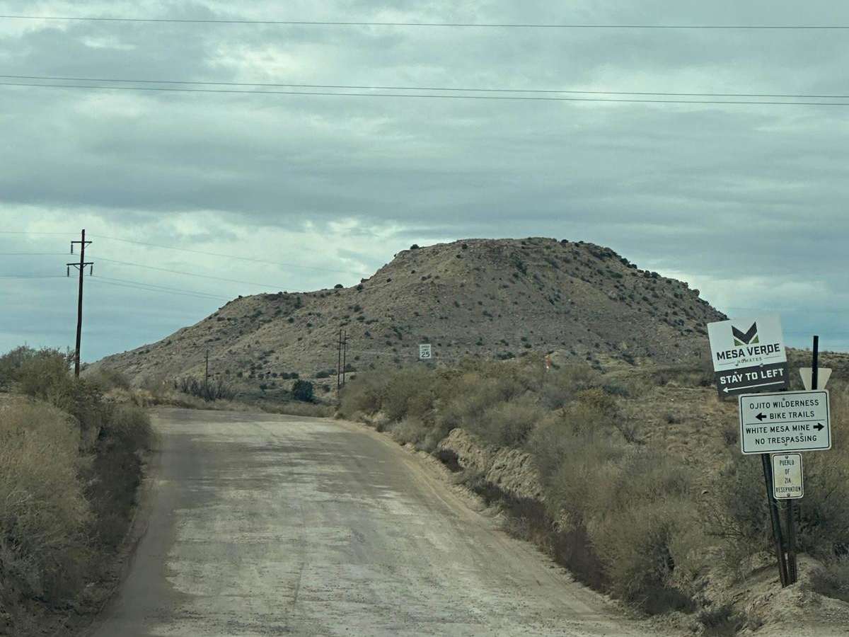
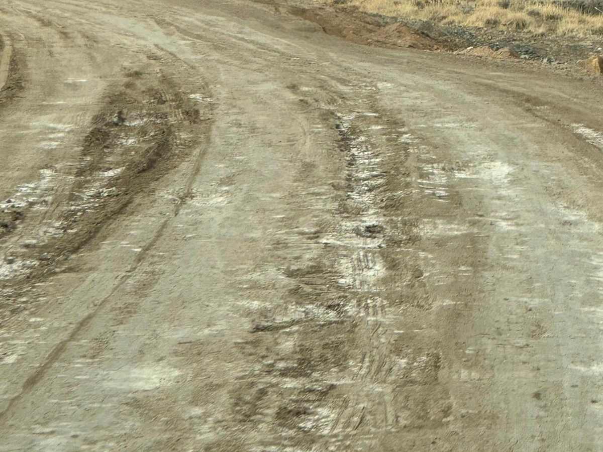
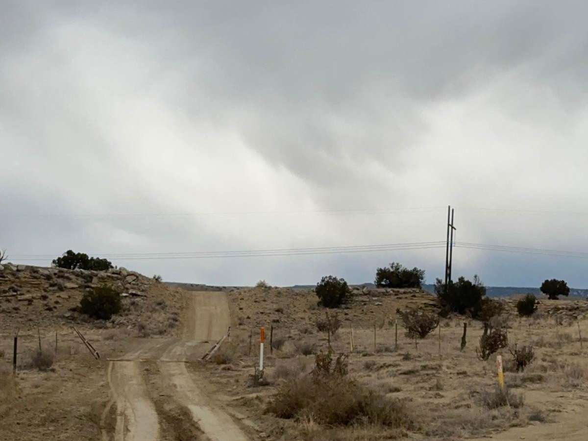
This gem of a route has many facets and is close to Albuquerque and Rio Rancho. The facets include geologic formations, bike trails, and hiking trails. The route is easy and there are nice parking areas to access the trails. Most of the route borders the Ojito Wilderness to the north and BLM land to the south. On the BLM land to the south of the road, target shooting is popular. It is not legal north of the road.

Photos of Cabezon Road

Difficulty

The road is more difficult in wet weather and becomes slick. There are some places with ruts.

History

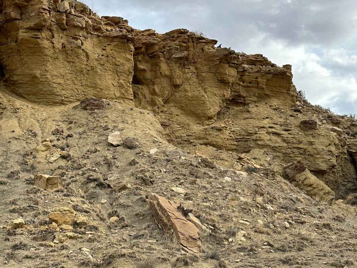
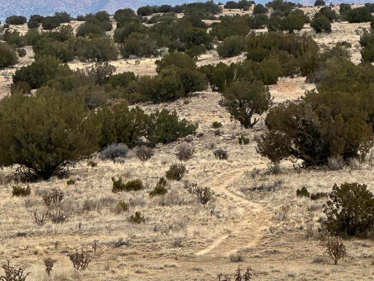
The Seismosauras hiking trail is 10 miles from Highway 550. The parking area is on the south side of the road. One of the longest dinosaurs ever discovered was found on the edge of a ridge 1 mile north. This giant grew to be over 120 feet long--almost half the length of a football field. In 1979, four hikers initially discovered some fossilized bones. They reported their discovery to the BLM. The bones remained untouched until 1991, when paleontologist David Gillette announced that upon excavation, it was one of the largest of the enormous sauropod dinosaurs. He called it Seismosaurus. Seismosauras lived during the Jurassic Period 150 million years ago. The bones are now on display in the Jurassic Hall at the New Mexico Natural History Museum. There is not much to see at the site but there are large petrified logs along the way. The Hoodoo hiking trail is 2 miles round trip. There are amazing, massive hoodoos about 0.7 miles in and the Ojito Wilderness overlook at the end of the trail. To find the trail from the parking area, walk about 400 feet to the east where it leads north into the Wilderness. A hoodoo is a tall, thin spire of rock formed by erosion.

Technical Rating

2

Status Reports

Add Status Report
Matthew Kozlowski
Jun 07, 2026
Open
Silvio Aldebot
Apr 07, 2026
Open
Generally in good condition, passable even when wet. Should be okay for most vehicles, even 2wd, though perhaps not when raining. Some sections are a bit muddy when wet. Cows through, just be sure to go slow and moo. Insane washboarding across a good 50% of this road. Pretty awful, particularly when driving into the area (heading W-SW).
luis A
Dec 14, 2025
Open
Trail was smooth and high visibility
Kyle Treadwell
Jun 07, 2025
Open
My friend, driving a 2019 Jeep Rubicon, and I set out early around 10:15 a.m. The road was fairly straightforward. We passed the White Ridge Bike Trails, then followed a curving route lined with several shooting spots. After that, the trail narrowed slightly and became dusty, with some ruts along the way. It can get muddy after rain, but on this day it was dry and warm—about 80 degrees.
Tracy Schmitz
Apr 23, 2025
Open
dusty and not difficult. slow going.
Dawson Hitchens
Mar 28, 2025
Open
Tom Rose
May 24, 2024
Open
Sign says no off-road vehicles
T Schultz
May 20, 2024
Open
Road in good condition. Almost any stock vehicle can drive this road when dry.

Cabezon Road Trail can be accessed by the following ride types:

  • Single Track
  • 50 Inch
  • 60 Inch
  • High Clearance
  • Full Width

Cabezon Road Map

The onX Offroad Difference

onX Offroad combines trail photos, descriptions, difficulty ratings, width restrictions, seasonality, and more in a user-friendly interface. Available on all devices, with offline access and full compatibility with CarPlay and Android Auto. Discover what you're missing today!

Open Trail Map