
Beginner Off-Road Trails
Near Point of Rocks, Wyoming
Explore All Beginner Trails Near Point of Rocks, Wyoming
Beginner Off-Road Trails Near Point of Rocks, Wyoming
Discover the best beginner-friendly off-road trails near you. These easier, lower-rated trails are a great place to start — browse trail maps, check difficulty ratings, and find your next adventure.
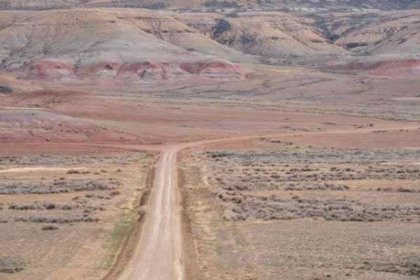
Overland Stage Route to Fort La Clede
This is a scenic desert drive between County Road 19 and Fort La Clede. The remains of the La Clede Stage Station are about a mile before the Fort. The Station and Fort were located along the Overland Trail; a stagecoach route operated in the mid-1800s. Ruins include a few remaining stone walls and ...
Learn more about Overland Stage Route to Fort La Clede
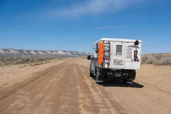
North Red Desert Traverse
A grand tour of Wyoming's northern Red Desert passing a variety of points of interest and landscapes, including sweeping views of the Wind River Mountains in the distance. The route begins on County Road 17, a wide and well-graded two-lane trail passing the White Mountain Petroglyphs, Boars Tusk roc...
Learn more about North Red Desert Traverse
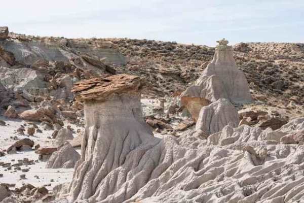
Adobe Town North Rim
This is a two-track trail passing through a variety of landscapes leading to Manuel Gap, a high point overlooking the Adobe Town basin and rock formations below. The trail begins in a wide-open plain covered with clusters of sage and yellow flowers in the spring. Wild horses are a frequent sight as ...
Learn more about Adobe Town North Rim
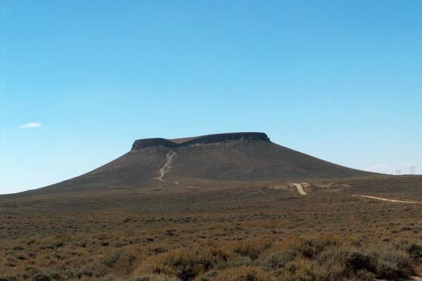
Pilot Butte Wild Horse Scenic Tour
The Pilot Butte Wild Horse Scenic Tour is a backcountry drive that features numerous high overlooks and the probability of spotting wild horses that roam the rangelands of southwest Wyoming. The drive takes you along the rim of White Mountain and past Pilot Butte where you'll get unobstructed views ...
Learn more about Pilot Butte Wild Horse Scenic Tour
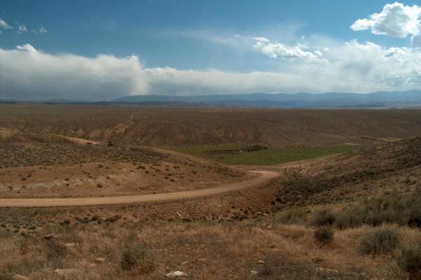
Flaming Gorge
This backcountry drive follows Flaming Gorge Road, which is located on the east side of Flaming Gorge Reservoir. The route offers numerous access points to the lake while staying high enough to offer terrific overlooks of the countryside. The scenery continuously changes as you climb over ridges and...
Learn more about Flaming Gorge
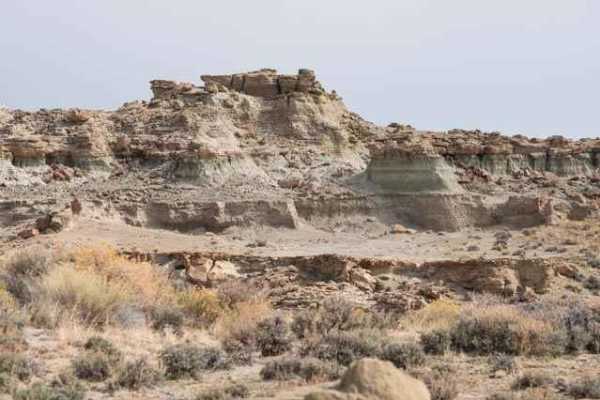
Adobe Town Basin
The trail (BLM 4412) starts as a flat dirt road departing County Road 19 before arriving at the Adobe Town rim and descending into the basin below. The rim provides a great overview of the rock formations while descending into the basin allows for up-close exploration of the varied rock formations ...
Learn more about Adobe Town Basin
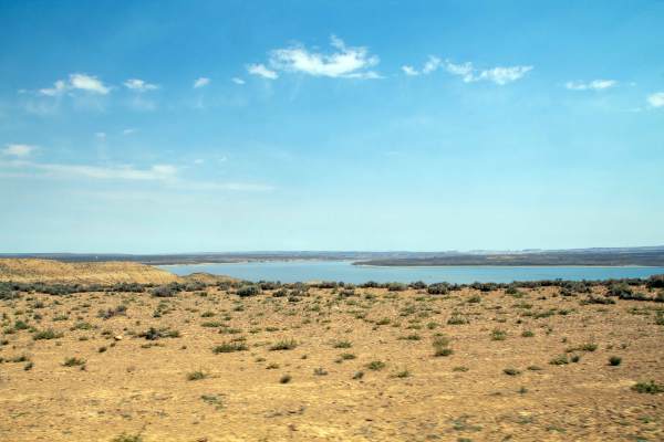
South Bend - FS 60006
This trail runs from Wyoming Highway 530 East to where it ends at an intersection with other roads that head down to Flaming Gorge. This trail starts as a smooth gravel road, but as you come down off the hilltop, it becomes less maintained, with small rocks and ruts in the trail, as well as being ov...
Learn more about South Bend - FS 60006
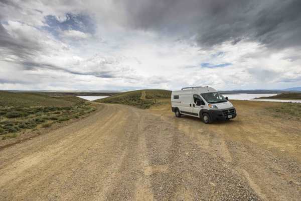
Holmes Crossing
Holmes Crossing - Road 60004, is a gravel road in great condition that will take you to the public boat launch as well as a network of dirt roads giving access to many dispersed campsites. This road has gravel and remains able to be traveled during or after rain where many of the other connecting ro...
Learn more about Holmes Crossing
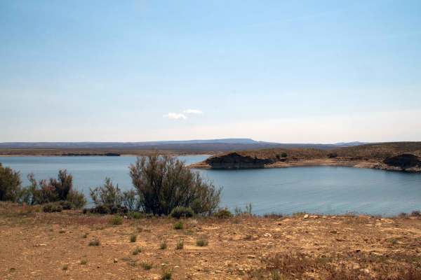
Haystack Butte Road - FS 60003
This is a short out-and-back trail that runs from Wyoming Highway 530 east to the shoreline of Flaming Gorge Reservoir. This trail is a well-maintained gravel road that stays two vehicles wide throughout before it dead-ends at a turnaround that is sometimes used as a campsite right on the shoreline ...
Learn more about Haystack Butte Road - FS 60003
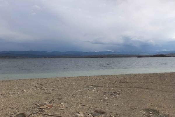
Haystack South
This trail is located within Flaming Gorge National Recreation Area. Haystack South Trail is an amazing spot to camp or to enjoy a day at the lake in isolation away from camper trailers & crowds. The trail will take you out to the end of a peninsula in the middle of the lake with beautiful views of ...
Learn more about Haystack South
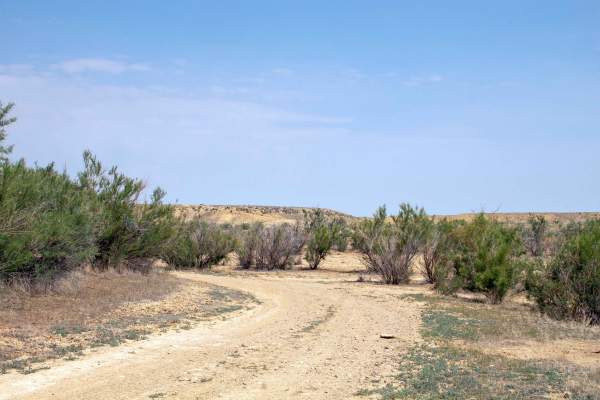
Badger West - FS 60160
This trail is an out-and-back trail that splits off of Anvil Draw and heads Southeast to the shore of Flaming Gorge, where it runs parallel through the shoreline brush for a ways before it dead-ends at a small point on the lake. This trail is well maintained up until it reaches the shoreline, at whi...
Learn more about Badger West - FS 60160
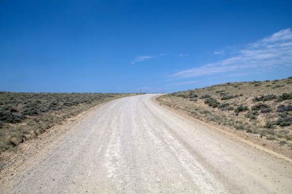
Anvil Draw - FS 60001
This trail is an out-and-back trail that goes from Wyoming Highway 530 west to a boat launch and parking area on the shore of Flaming Gorge Reservoir. This trail is a well-maintained gravel road that is two vehicles wide throughout. This trail provides views of the surrounding landscape as well as t...
Learn more about Anvil Draw - FS 60001
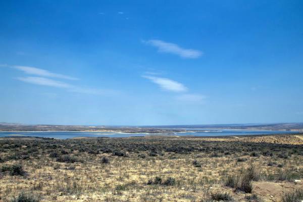
Pipeline Complex - FS 60086
This trail is a short out-and-back trail that heads north from Pipeline West Trail down to the shore of Flaming Gorge. This trail is an easy trail as it heads across the flats with a few sections with small rocks to navigate as it crosses over some small hilltops. This trail dead-ends right on the l...
Learn more about Pipeline Complex - FS 60086
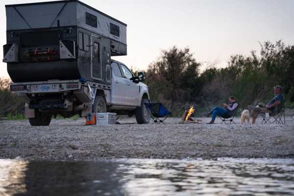
Pipeline East
Pipeline East is an easy, scenic 5.6-mile out-and-back route perfect for beginners, campers, and those looking to access the shores of Flaming Gorge Reservoir. Starting near Antelope Flat Road, this gravel and dirt track descends roughly 417 feet from a high point of 6,453 feet down to the reservoir...
Learn more about Pipeline East
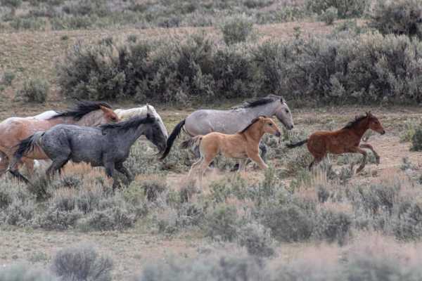
Sandwash Basin
This area is BLM land and the home to some 600 wild horses with a loop through the heart of their land. Many view this loop as a single day or afternoon drive to see the horses, but this can also be a multi-day observation to learn the patterns and herd dynamics of the horses. The loop provides mult...
Learn more about Sandwash Basin
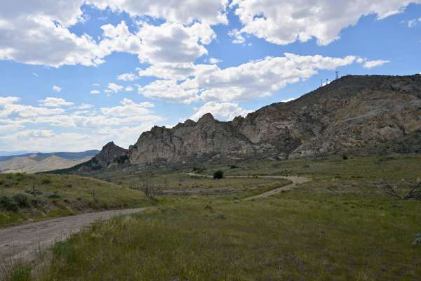
Rifle Range Road - FS 10542
Rifle Range Road (FS 10542) is a 1/10 out-and-back trail in Flaming Gorge Recreation Area. While its name and predominant claim to fame are a public shooting range, the geology in the canyon is worth the short trip out and back. The road is easily passable by all vehicles and is generally rocky dirt...
Learn more about Rifle Range Road - FS 10542
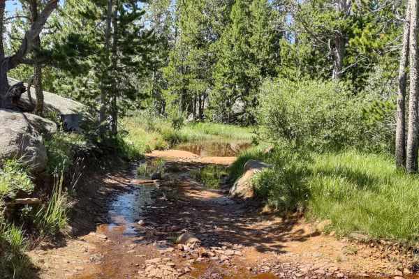
Little Rock (FS 368)
Little Rock is a two-track trail on the west end with the name "Little Rock" and number 368 on the Forest Service map. It begins at Louise Lake Road, and from there, the trail crosses the Shoshone National Forest in an easterly direction, and then it crosses some private property where access is gra...
Learn more about Little Rock (FS 368)
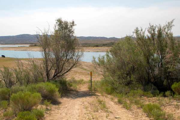
Twin Bridges
This trail is a short out-and-back trail that leads from Wyoming Highway 530 east to the shoreline of Flaming Gorge Reservoir. This trail is a well-maintained gravel road that is two vehicles wide throughout, with the only caution being that at the end of the trail, a metal pole has been placed, and...
Learn more about Twin Bridges
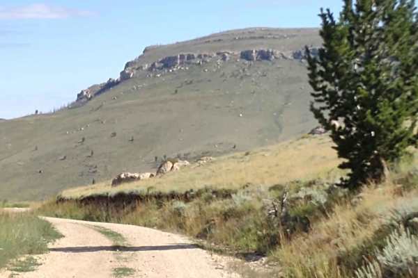
Limestone Mtn Rd (FS 326)
Limestone Mountain Road (a/k/a Ed Young Basin) runs from Hwy 28 near Atlantic City, Wyoming, up to the Indian Trail and beyond. Our track stops at the intersection with the Indian Trail. This is a well-maintained dirt road. I don't know if it's open year-round. You go up over the mountains at 8800 f...
Learn more about Limestone Mtn Rd (FS 326)
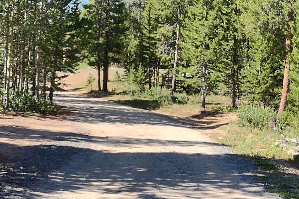
Beaver Creek 4WD (FS 366)
This trail connects Limestone Mountain Road at its east end with Little Rock Trail and Christina Lake Trail on its west end. There are amazing places to camp near the east end of this trail. You wind through the trees in places and cross sagebrush flats in others. The trail is rocky in several place...
Learn more about Beaver Creek 4WD (FS 366)
Beginner ATV trails near Point of Rocks, Wyoming
Explore ATV-friendly trails near you. These trails are accessible for vehicles up to 50 inches wide, perfect for ATVs and smaller off-road machines.
Overland Stage Route to Fort La Clede
This is a scenic desert drive between County Road 19 and Fort La Clede. The remains of the La Clede Stage Station are about a mile before the Fort. The Station and Fort were located along the Overland Trail; a stagecoach route operated in the mid-1800s. Ruins include a few remaining stone walls and ...
Learn more about Overland Stage Route to Fort La Clede
North Red Desert Traverse
A grand tour of Wyoming's northern Red Desert passing a variety of points of interest and landscapes, including sweeping views of the Wind River Mountains in the distance. The route begins on County Road 17, a wide and well-graded two-lane trail passing the White Mountain Petroglyphs, Boars Tusk roc...
Learn more about North Red Desert Traverse
Adobe Town North Rim
This is a two-track trail passing through a variety of landscapes leading to Manuel Gap, a high point overlooking the Adobe Town basin and rock formations below. The trail begins in a wide-open plain covered with clusters of sage and yellow flowers in the spring. Wild horses are a frequent sight as ...
Learn more about Adobe Town North Rim
Pilot Butte Wild Horse Scenic Tour
The Pilot Butte Wild Horse Scenic Tour is a backcountry drive that features numerous high overlooks and the probability of spotting wild horses that roam the rangelands of southwest Wyoming. The drive takes you along the rim of White Mountain and past Pilot Butte where you'll get unobstructed views ...
Learn more about Pilot Butte Wild Horse Scenic Tour
Beginner UTV/side-by-side trails near Point of Rocks, Wyoming
Find UTV and side-by-side trails near you. These trails accommodate vehicles up to 60 inches wide, ideal for UTVs, side-by-sides, and wider off-road rigs.
Overland Stage Route to Fort La Clede
This is a scenic desert drive between County Road 19 and Fort La Clede. The remains of the La Clede Stage Station are about a mile before the Fort. The Station and Fort were located along the Overland Trail; a stagecoach route operated in the mid-1800s. Ruins include a few remaining stone walls and ...
Learn more about Overland Stage Route to Fort La Clede
North Red Desert Traverse
A grand tour of Wyoming's northern Red Desert passing a variety of points of interest and landscapes, including sweeping views of the Wind River Mountains in the distance. The route begins on County Road 17, a wide and well-graded two-lane trail passing the White Mountain Petroglyphs, Boars Tusk roc...
Learn more about North Red Desert Traverse
Adobe Town North Rim
This is a two-track trail passing through a variety of landscapes leading to Manuel Gap, a high point overlooking the Adobe Town basin and rock formations below. The trail begins in a wide-open plain covered with clusters of sage and yellow flowers in the spring. Wild horses are a frequent sight as ...
Learn more about Adobe Town North Rim
Pilot Butte Wild Horse Scenic Tour
The Pilot Butte Wild Horse Scenic Tour is a backcountry drive that features numerous high overlooks and the probability of spotting wild horses that roam the rangelands of southwest Wyoming. The drive takes you along the rim of White Mountain and past Pilot Butte where you'll get unobstructed views ...
Learn more about Pilot Butte Wild Horse Scenic Tour
The onX Offroad Difference
onX Offroad combines trail photos, descriptions, difficulty ratings, width restrictions, seasonality, and more in a user-friendly interface. Available on all devices, with offline access and full compatibility with CarPlay and Android Auto. Discover what you're missing today!
Open Trail Map