South Bend - FS 60006

Total Miles4
Technical Rating
2Easy
Best TimeSpring, Summer, Fall
Trail TypeFull-Width Road
Accessible By
Open Trail Map

Trail Overview

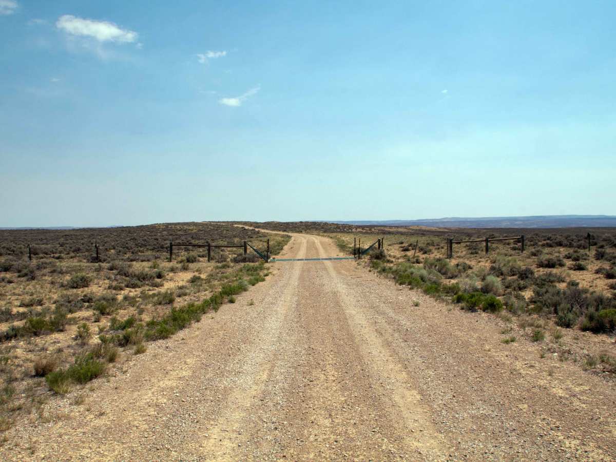
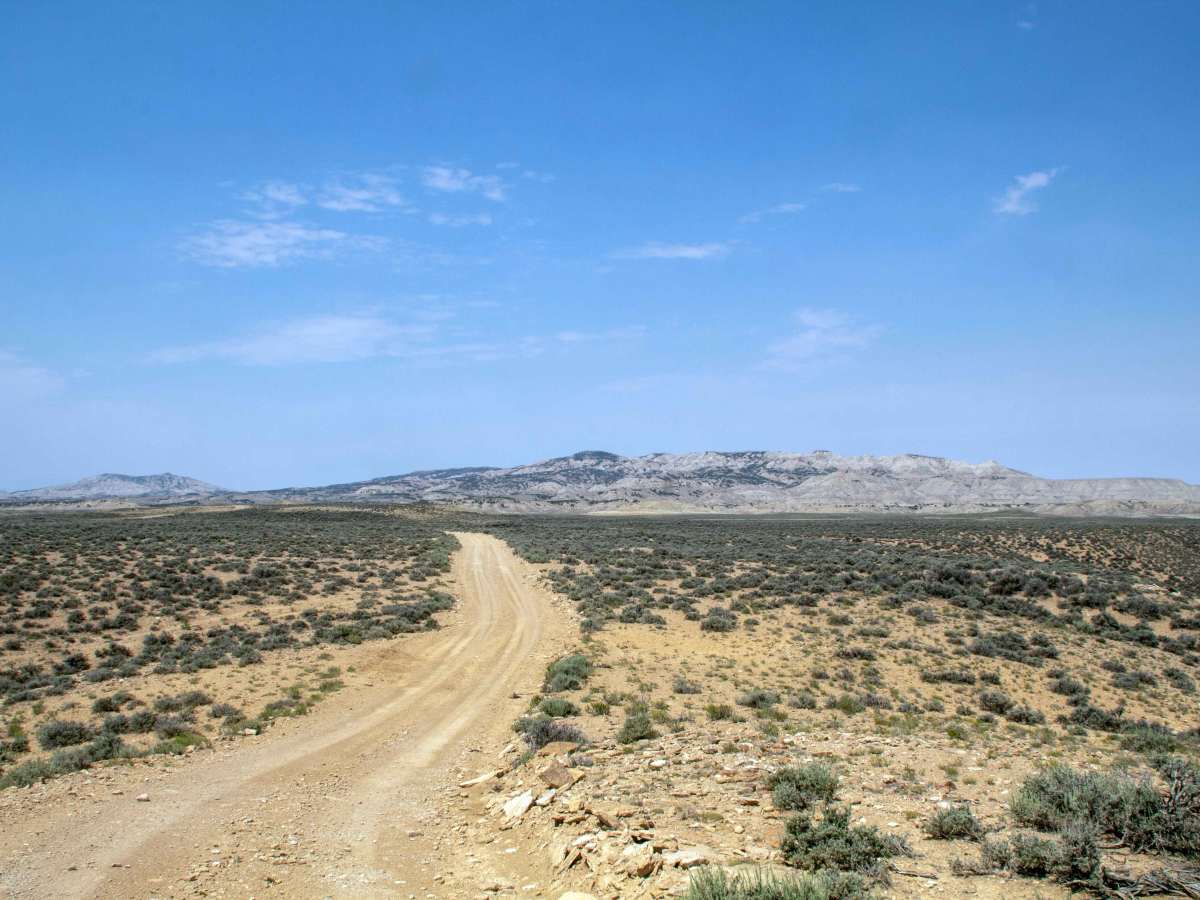
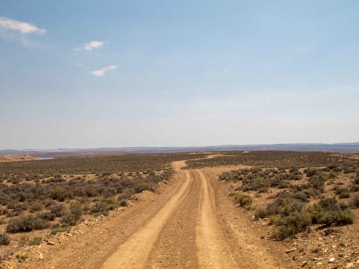
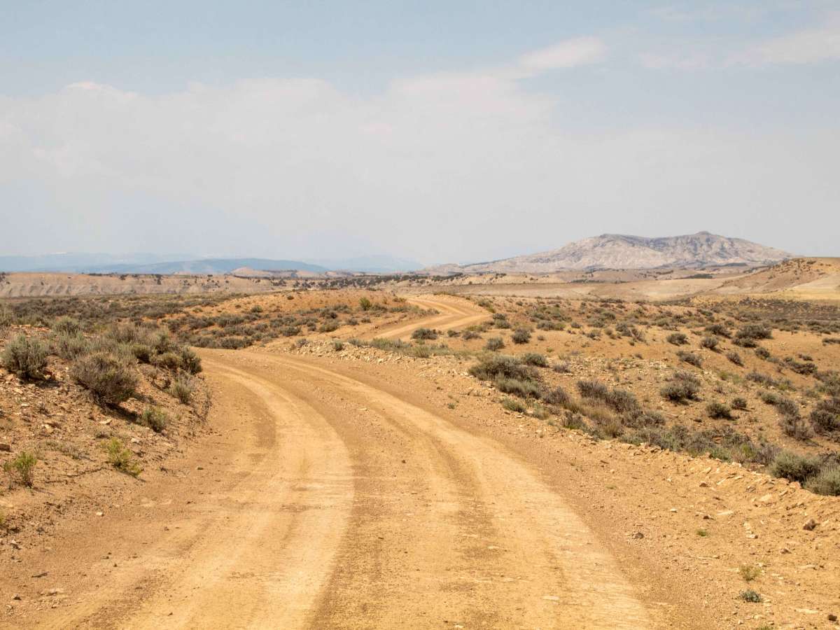
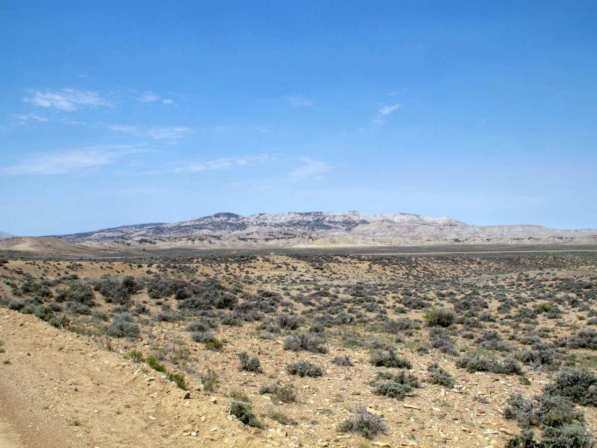
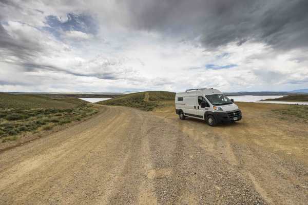
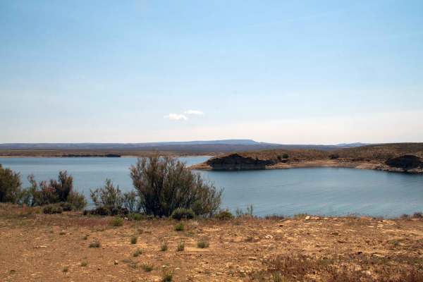
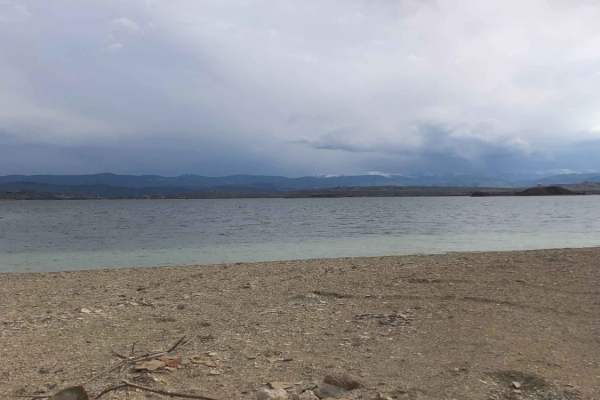
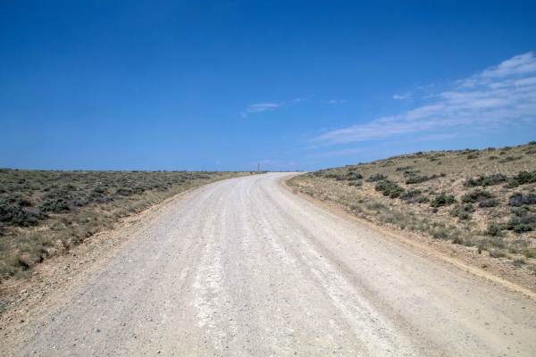
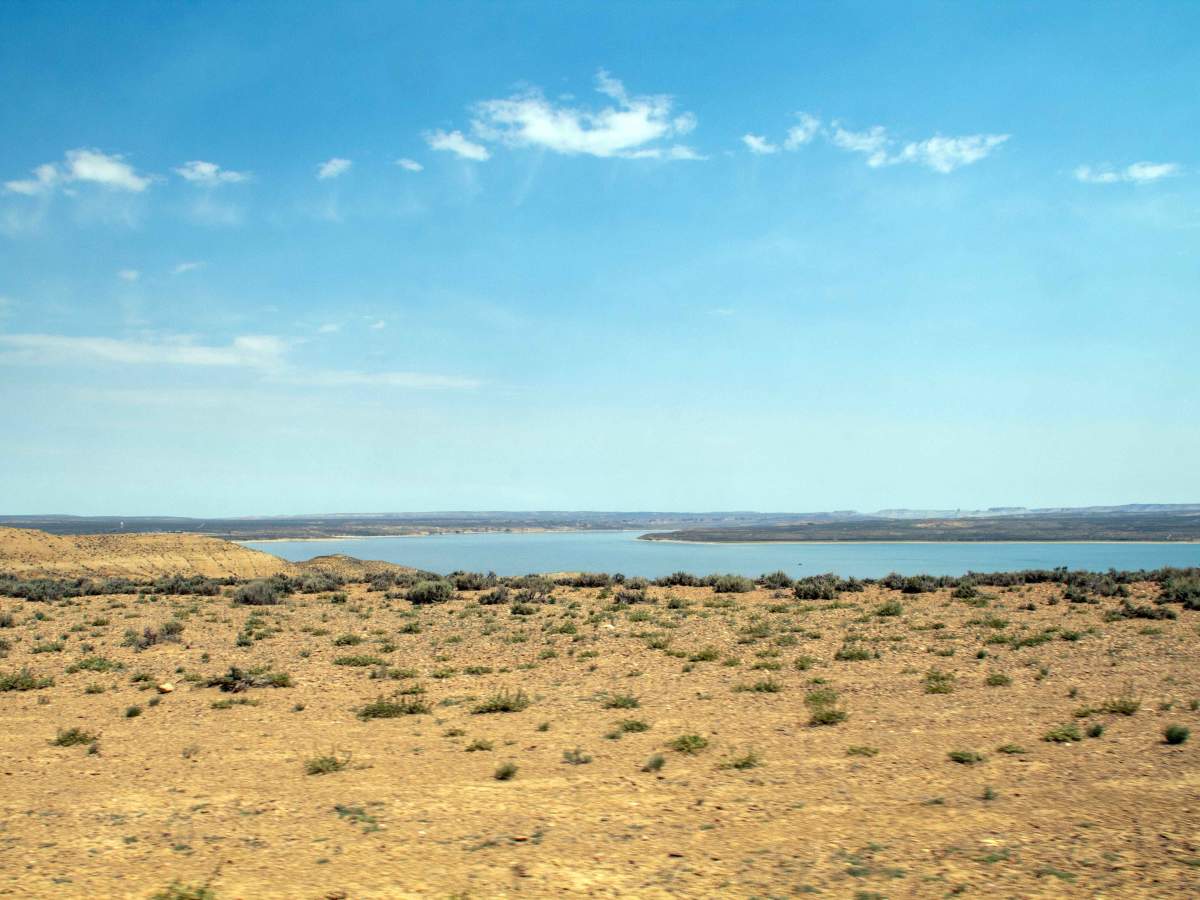
This trail runs from Wyoming Highway 530 East to where it ends at an intersection with other roads that head down to Flaming Gorge. This trail starts as a smooth gravel road, but as you come down off the hilltop, it becomes less maintained, with small rocks and ruts in the trail, as well as being overgrown as it curves around the shallow inlet of the reservoir that is dry unless the water level is high. This trail has views of the lake and surrounding hills, but does not provide direct access to the lake itself, ending at an intersection where any of the other trails will lead to the lake. This trail is open to all vehicles and has no seasonal closure, but may be impassable due to snow during the winter and early spring, as well as during periods of heavy rain, which could turn the trail into deep mud where it crosses the flat near the shallow inlet.

Photos of South Bend - FS 60006

Difficulty

This trail has some small rocks and shallow ruts and is only one vehicle wide, with places to pass throughout the trail.

Technical Rating

2

South Bend - FS 60006 Trail can be accessed by the following ride types:

  • Single Track
  • 50 Inch
  • 60 Inch
  • High Clearance
  • Full Width

South Bend - FS 60006 Map

The onX Offroad Difference

onX Offroad combines trail photos, descriptions, difficulty ratings, width restrictions, seasonality, and more in a user-friendly interface. Available on all devices, with offline access and full compatibility with CarPlay and Android Auto. Discover what you're missing today!

Open Trail Map