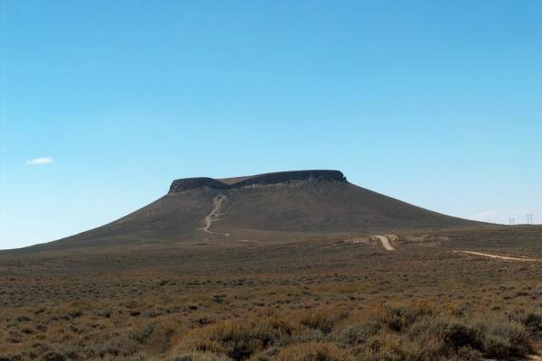
Trail Overview
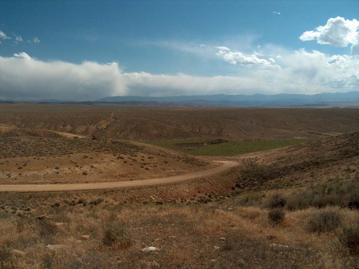
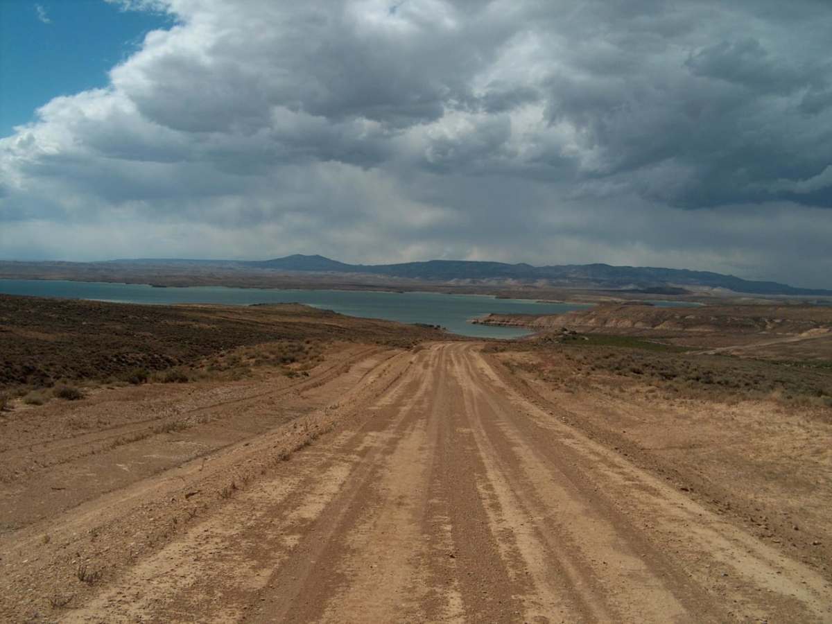
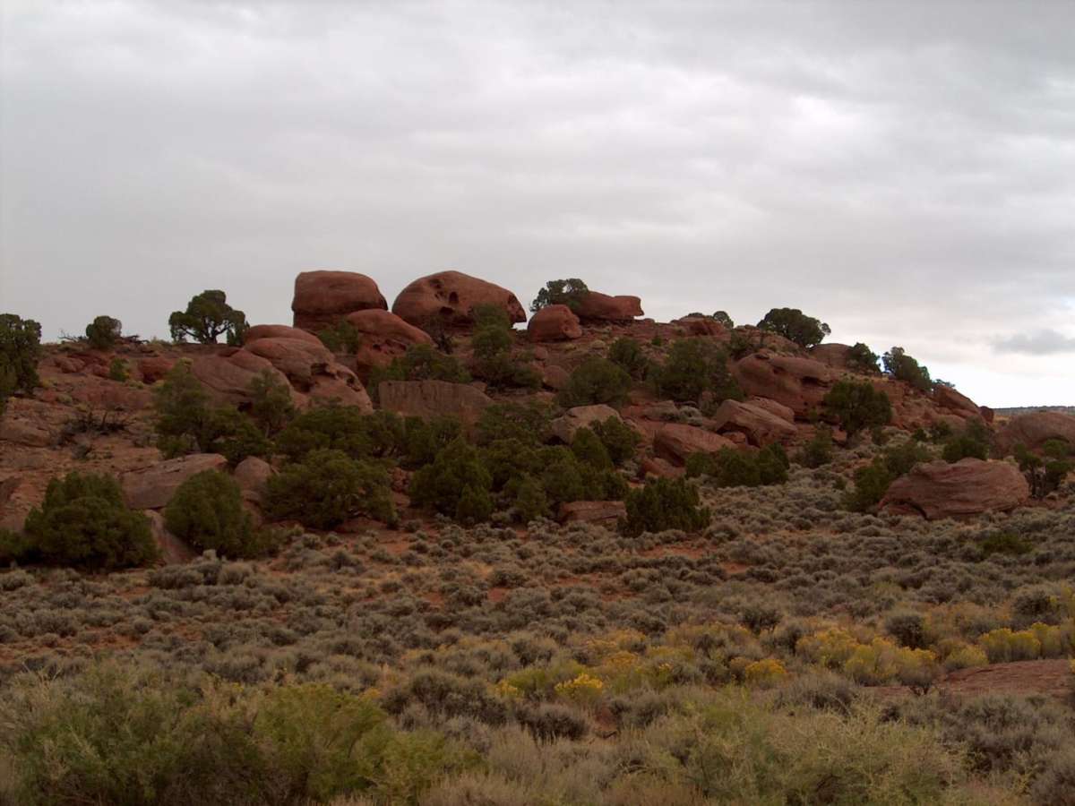
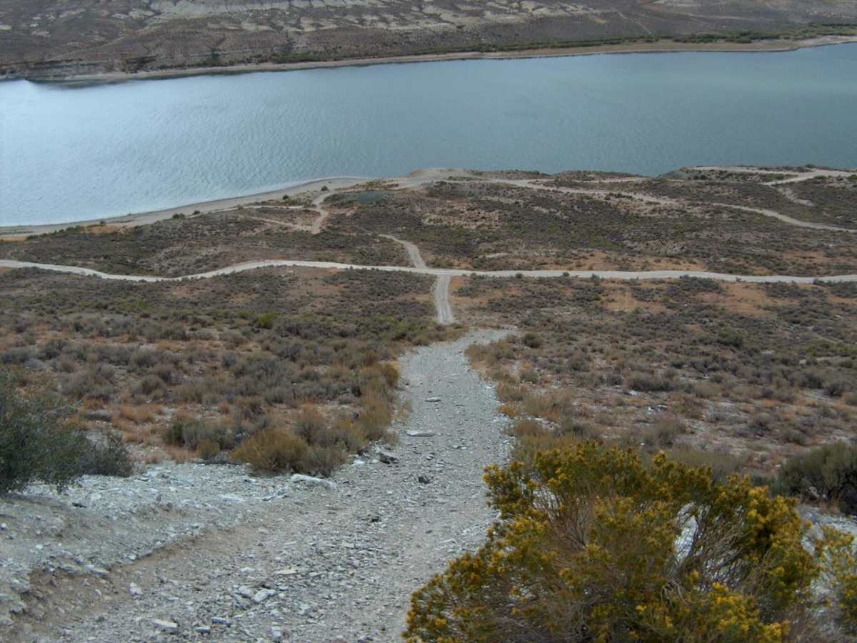
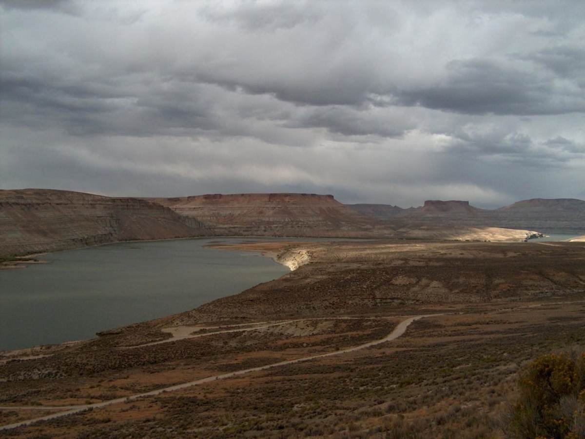
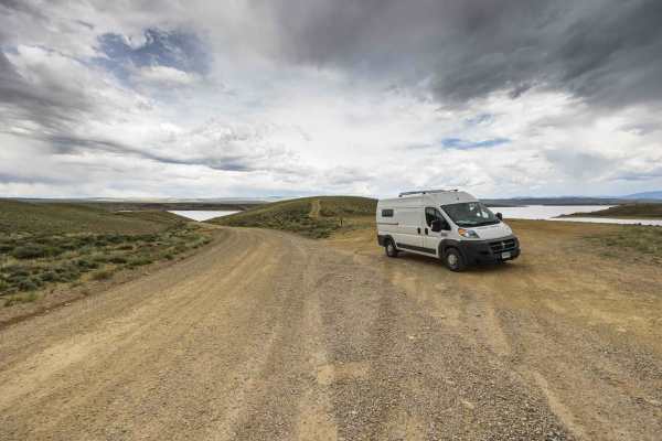
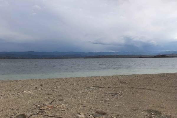
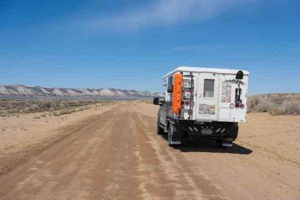
This backcountry drive follows Flaming Gorge Road, which is located on the east side of Flaming Gorge Reservoir. The route offers numerous access points to the lake while staying high enough to offer terrific overlooks of the countryside. The scenery continuously changes as you climb over ridges and drop into drainages. Along the way, you'll find numerous secondary roads and 4WD tracks that crisscross rugged, semi-arid terrain. Terrific views of the Green River and Firehole Canyon are located on the northern end of the road. When you're done with this drive, check out the Utah side of the Flaming Gorge Recreation Area to find numerous campgrounds, trailheads, visitor centers, and dramatic scenery.
Difficulty
This route follows wide, gravel paths that are easy to follow in dry conditions. There are a few steep sections with loose gravel. In the off season, these wind-prone roads can become drifted shut and impassable. Side roads off of the main county roads are steep, rocky, and can become rutted or muddy.
History
The Flaming Gorge Dam was completed in 1964. The resulting reservoir is 91 miles long and spans the Utah-Wyoming state line. The Flaming Gorge National Recreation Area is popular for mountain biking, historical study, dramatic scenery, watersports, four-wheeling, camping, and trophy-sized trout fishing.