
Beginner Off-Road Trails
Near Morganton, Georgia
Explore All Beginner Trails Near Morganton, Georgia
Beginner Off-Road Trails Near Morganton, Georgia
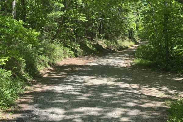
Discover the best beginner-friendly off-road trails near you. These easier, lower-rated trails are a great place to start — browse trail maps, check difficulty ratings, and find your next adventure.
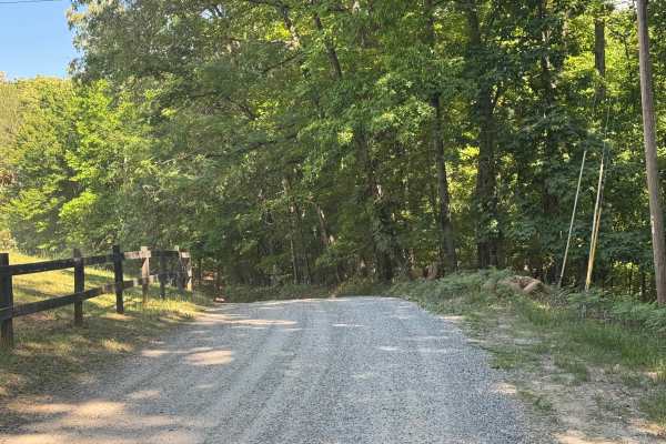
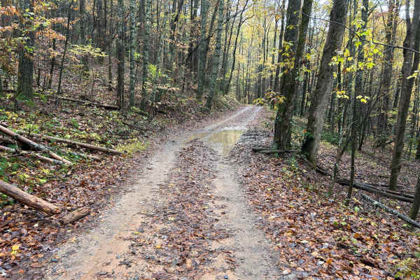
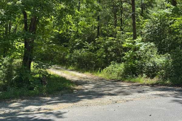
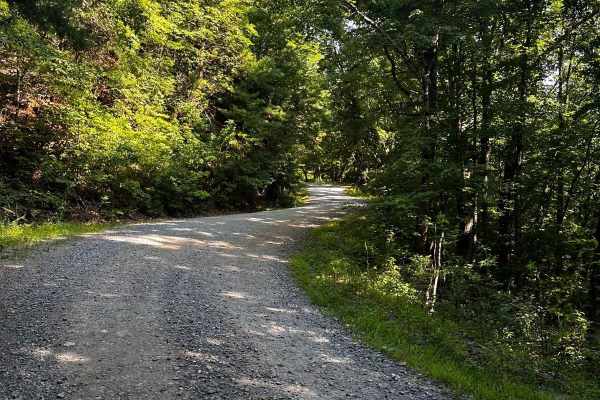
Fruitkoff - FS 711
Fruitkoff Trail is a short forest road that offers an easy drive through heavily wooded national forest terrain. The well-maintained gravel surface and generous single-lane width make for a comfortable trip, while the dense forest canopy provides a sense of seclusion from start to finish. With no si...
Learn more about Fruitkoff - FS 711
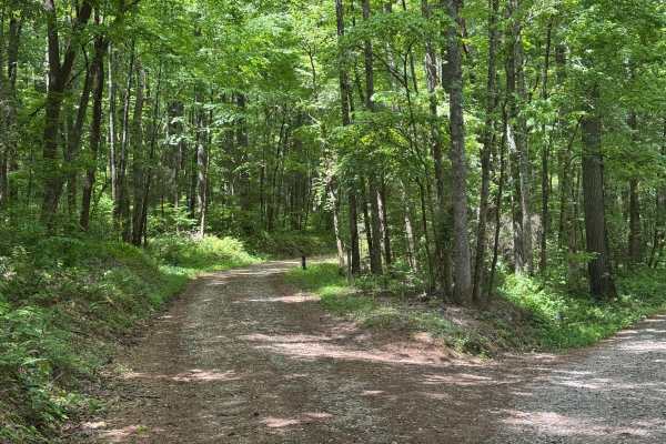
Persimmon - FS 119
Persimmon Trail is a short forest road that delivers a quiet drive through heavily wooded national forest land. The well-maintained gravel surface and lack of major obstacles make it an easy route, but its secluded setting gives it the feel of a true backcountry excursion. The road is primarily sing...
Learn more about Persimmon - FS 119
West Skeenah - FS 640
West Skeenah (FS 640) is a twisty, seasonally closed Forest Service road in the Chattahoochee-Oconee National Forest. Current MVUM shows a closure date of January 1st to March 15th. Check the current MVUM to verify up-to-date information before heading out. Please report any trash dumpsites to the B...
Learn more about West Skeenah - FS 640
Seabolt Mountain - FS 640A
Seabolt Mountain Trail is a short and straightforward forest road that winds through dense timber and quiet backcountry terrain. The route follows a well-maintained dirt and gravel surface with no significant obstacles, making it an easy choice for drivers looking to explore deeper into the national...
Learn more about Seabolt Mountain - FS 640A
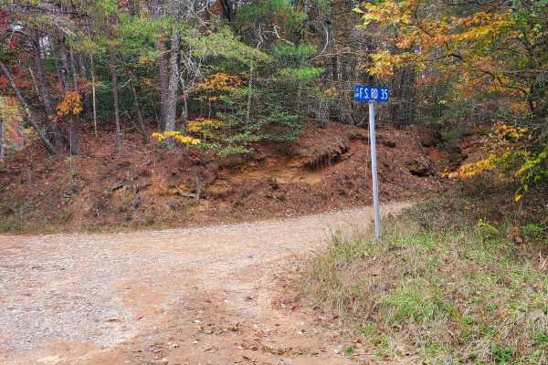
Weeks Creek - FS 35
Week Creek (FS 35) is a twisty, seasonally closed Forest Service road in the Chattahoochee-Oconee National Forest. Current MVUM states the closure dates are from January 1st to March 15th. If travelling on Weeks Creek soon after its reopening, it may be wise to bring a saw just in case of any treefa...
Learn more about Weeks Creek - FS 35
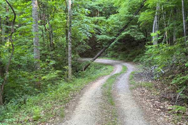
Wildcat Creek - FS 329
Wildcat Creek - FS 329 is a 3.1-mile out-and-back route that travels through heavily forested terrain on a packed dirt and gravel surface. The trail is a single lane with places to pass and is lightly maintained, giving it the feel of a traditional forest access road. With an easy difficulty rating,...
Learn more about Wildcat Creek - FS 329
Stanley Gap - FSR 338
Stanley Gap, FSR 338, is a seasonally closed in-and-out forest service road in the Rich Mountain Wilderness. Being an in-and-out road, the return trip is included in the time estimate for this road. Primarily used as access for hunters, Stanley Gap also has plenty of great primitive campsites to enj...
Learn more about Stanley Gap - FSR 338
Cold Mountain - FSR 295
Cold Mountain, FSR 295, is a seasonally closed in-and-out forest service road in the Rich Mountain Wilderness. It serves primarily as access for hunters but does afford many nice primitive campsites along the road. Current 2024 MVUM maps list the open dates of 8/13- 6/1. Please report any dumpsites ...
Learn more about Cold Mountain - FSR 295
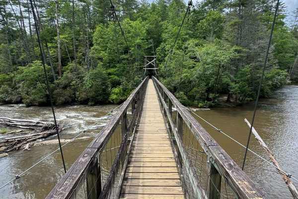
Tooni Gap - FS 816
The Tooni Gap Trail, also known as FS 816, starts at FS 60 and takes you to the trailhead to the swinging bridge over Toccoa River (a must-see). The trail is a gravel forestry road with some soft sand spots that can turn into mud holes after heavy rain. The road is not always wide enough for two veh...
Learn more about Tooni Gap - FS 816
Peter Knob - FS 339
Peter Knob - FS 339 is a 2-mile out-and-back route that follows a packed dirt and gravel surface through heavily forested terrain. The trail remains a single lane with places to pass and is moderately maintained, providing generally straightforward travel. With an easy difficulty rating, the route f...
Learn more about Peter Knob - FS 339
Davenport Mountain OHV Trails
Davenport OHV is a 1-way Trail that creates a loop. It's 6.2 miles in length. The parking lot is in the middle of the OHV trail system. There is a 2-way short trail that leads into the loop trail, and then the trail is marked directionally from there. It crosses the road in 2 places. This trail syst...
Learn more about Davenport Mountain OHV Trails
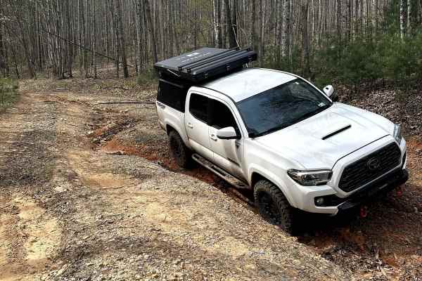
Knight Creek - FS 264A
This short spur trail located in the Chattahoochee National Forrest is one of a few trails that require high clearance and is not well maintained in the Forest. It is just over 2 miles but is a perfect opportunity for someone new to off-roading to tips their toes in. There are opportunities for camp...
Learn more about Knight Creek - FS 264A
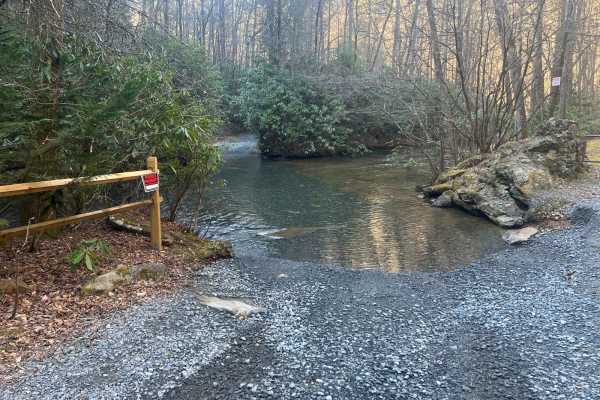
Toccoa River Road - FS 333
Toccoa River Road (FS 333) is a nice quiet drive though the woods. Aside from a couple shallow solid bottom mud holes there's one bad spot with a bypass. Take a short hike down over the hill and you have access to the Toccoa River Swing Bridge. The trail is not steep and has a solid walking path.
Learn more about Toccoa River Road - FS 333
Cashes Valley Road
Cashes Valley Road is a hidden gem, perfect for an out-and-back adventure in the Chattahoochee National Forest, spanning Fannin and Gilmer Counties in Georgia. This picturesque trail features several water crossings, approximately a foot deep under dry conditions. However, be prepared for these cros...
Learn more about Cashes Valley Road
Totem Pole - FS 69E
Totem Pole - FS 69E is a 1.6-mile out-and-back route that follows a well-maintained gravel surface through heavily forested terrain. The trail remains a single lane with few places to pass and carries an easy difficulty rating. Conditions are generally straightforward, reflecting the maintained natu...
Learn more about Totem Pole - FS 69E
Rock Creek Road - FS 69
Rock Creek Road, also known as FS 69, connects FS 42 at the south end with County Road 2 at the north end of the trail. That trail takes you along Rock Creek to the Rock Creek Lake and the National Fish Hatchery. It is a gravel forestry road with some soft sand spots that can turn into mud holes aft...
Learn more about Rock Creek Road - FS 69
Laurel Branch - FS 322
Laurel Branch - FS 322 is a 1.4-mile out-and-back route that follows a packed dirt and gravel surface through heavily forested terrain. The trail remains a tight single lane for most of its length and is lightly maintained, giving it the character of a narrow forest road. Despite its confined width,...
Learn more about Laurel Branch - FS 322

Dixon Branch - FS 88
Dixon Branch - FS 88 is a 2.5-mile out-and-back route that follows a lightly maintained packed dirt and gravel surface through heavily forested terrain. The trail remains a single lane with few places to pass and carries an easy difficulty rating. A large open camp area is located at the end of the ...
Learn more about Dixon Branch - FS 88
John Dick Creek - FS 248
John Dick Creek - FS 248 is a 1.5-mile out-and-back route that travels through heavily forested terrain on a lightly maintained packed dirt and gravel surface. The trail remains a single lane with places to pass and carries an easy difficulty rating. Several dispersed campsites are located along the...
Learn more about John Dick Creek - FS 248
John Dick Mountain - FS 766
John Dick Mountain - FS 766 is a 2.5-mile out-and-back route that follows a lightly maintained packed dirt and gravel surface through heavily forested terrain. The trail features a generous single-lane width and carries an easy difficulty rating. Several dispersed campsites are available along the r...
Learn more about John Dick Mountain - FS 766
Beginner ATV trails near Morganton, Georgia
Explore ATV-friendly trails near you. These trails are accessible for vehicles up to 50 inches wide, perfect for ATVs and smaller off-road machines.
Davenport Mountain OHV Trails
Davenport OHV is a 1-way Trail that creates a loop. It's 6.2 miles in length. The parking lot is in the middle of the OHV trail system. There is a 2-way short trail that leads into the loop trail, and then the trail is marked directionally from there. It crosses the road in 2 places. This trail syst...
Learn more about Davenport Mountain OHV Trails
Knight Creek - FS 264A
This short spur trail located in the Chattahoochee National Forrest is one of a few trails that require high clearance and is not well maintained in the Forest. It is just over 2 miles but is a perfect opportunity for someone new to off-roading to tips their toes in. There are opportunities for camp...
Learn more about Knight Creek - FS 264A
Noontootla
If you are looking for group camping opportunities alongside a rushing creek, this is your trail! This route is very beginner-friendly, consisting mostly of loose gravel and dirt. Many families and larger groups car camp in designated areas along the creek on the west side of the road. Be sure to ar...
Learn more about Noontootla

Bush Head Gap Road
Relatively easy trail with no serious obstacles, but the route is very overgrown and only one vehicle wide. If you drive a full-size vehicle, prepare for scratches on the vehicle. If you look at a map of Bush Head Gap Road, the map will show that the trail is 1-2 miles longer than shown. However, th...
Learn more about Bush Head Gap Road
Beginner UTV/side-by-side trails near Morganton, Georgia
Find UTV and side-by-side trails near you. These trails accommodate vehicles up to 60 inches wide, ideal for UTVs, side-by-sides, and wider off-road rigs.
Knight Creek - FS 264A
This short spur trail located in the Chattahoochee National Forrest is one of a few trails that require high clearance and is not well maintained in the Forest. It is just over 2 miles but is a perfect opportunity for someone new to off-roading to tips their toes in. There are opportunities for camp...
Learn more about Knight Creek - FS 264A
Noontootla
If you are looking for group camping opportunities alongside a rushing creek, this is your trail! This route is very beginner-friendly, consisting mostly of loose gravel and dirt. Many families and larger groups car camp in designated areas along the creek on the west side of the road. Be sure to ar...
Learn more about Noontootla
Bush Head Gap Road
Relatively easy trail with no serious obstacles, but the route is very overgrown and only one vehicle wide. If you drive a full-size vehicle, prepare for scratches on the vehicle. If you look at a map of Bush Head Gap Road, the map will show that the trail is 1-2 miles longer than shown. However, th...
Learn more about Bush Head Gap Road
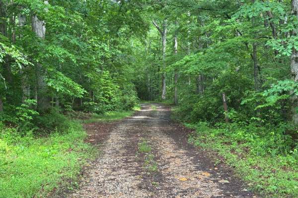
Springer Mountain Trail
Welcome to the Southern Terminus of the Appalachian Trail! This route takes you through the North Georgia mountains, passing right by the beginning of the historic AT. The trail is mostly dirt and gravel, with much of it wide enough for two cars. Along the way, you'll find small spurs that lead to d...
Learn more about Springer Mountain Trail
The onX Offroad Difference
onX Offroad combines trail photos, descriptions, difficulty ratings, width restrictions, seasonality, and more in a user-friendly interface. Available on all devices, with offline access and full compatibility with CarPlay and Android Auto. Discover what you're missing today!
Open Trail Map