
Beginner Off-Road Trails
Near Methow, Washington
Explore All Beginner Trails Near Methow, Washington
Beginner Off-Road Trails Near Methow, Washington
Discover the best beginner-friendly off-road trails near you. These easier, lower-rated trails are a great place to start — browse trail maps, check difficulty ratings, and find your next adventure.
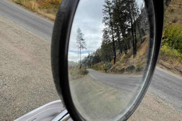
Hungry Mountain
The Hungry Mountain Trail begins 1 mile west of the Methow River, where Gold Creek Road meets Forest Service Road 4330/South Fork Gold Creek. The easy-going route is made up of gravel, crushed granite, and some slightly sandy stretches and travels through communities and National Forest Service land...
Learn more about Hungry Mountain
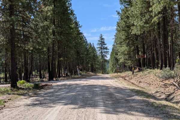
FS 4150
This is a 1.5-lane easy dirt and gravel road through a mixed pine and fir forest. There are a few embedded rocks. It begins where Benson Creek Drive meets the national forest boundary and meets up with the main FS 41 road adjacent to the southern boundary of this piece of Okanogan National Forest. T...
Learn more about FS 4150
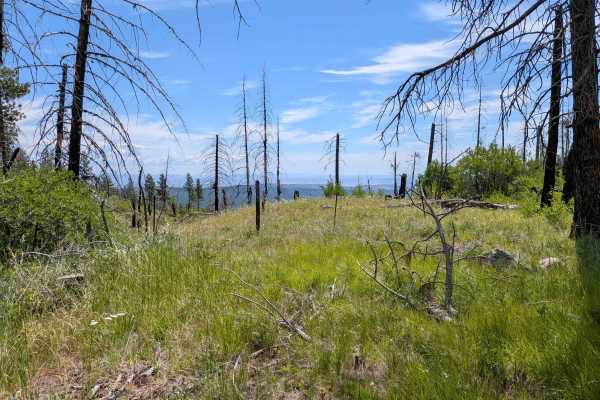
Leecher Lookout - FS 4150-100
This dirt road climbs through mature pine forest to a gate 1.2 miles below Leecher Lookout. The road is mostly easy with a few embedded rock patches, ruts, and erosion. It is mostly single lane, but with plenty of places to safely meet another vehicle. It becomes a hillside shelf road as it climbs, ...
Learn more about Leecher Lookout - FS 4150-100
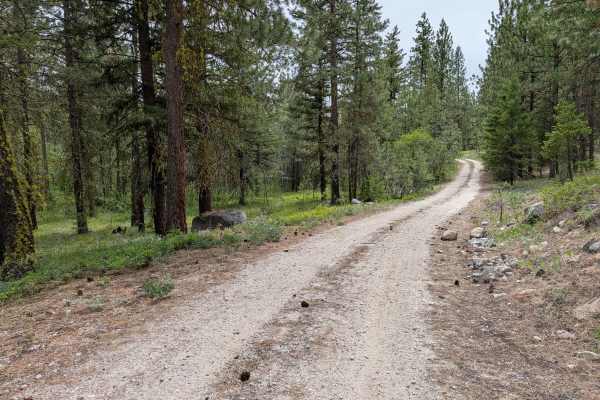
FS 4100-030
This single-lane road loops from the main FS 41 road. It has some loose rock on the climbs and descents that will be more noticeable to those on 2 wheels. There's also erosion damage up to a foot deep, as well as random rocks less than a foot high (some embedded, some loose). It's a fun little diver...
Learn more about FS 4100-030
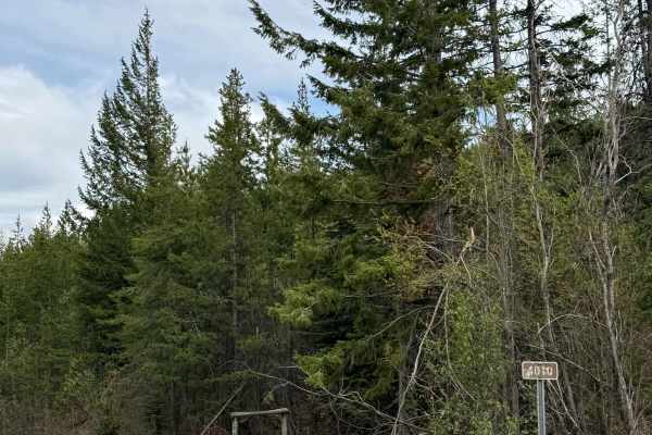
Black Canyon Road - FS 4010
This is a gravel-based forest road that climbs from the Black Canyon Sno Park off Highway 153 to FS 8020. The trail climbs over 3,800 feet and is narrow with room to pass, and sections are rough with washboard. There are some ledges with moderate drop-offs, but any vehicle type should have no issue ...
Learn more about Black Canyon Road - FS 4010
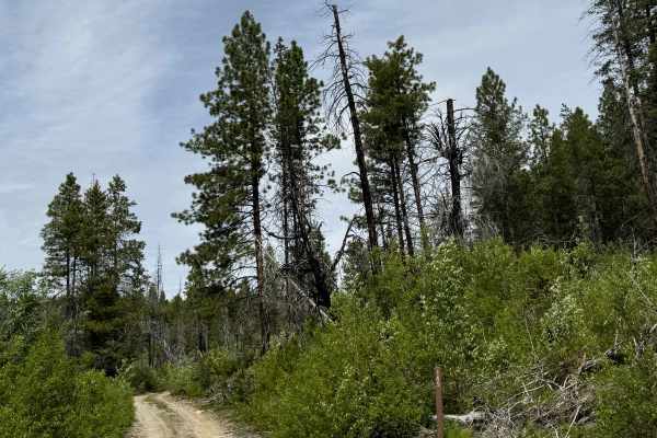
Goat Mountain Road - FS 8140-145
This is a dirt-based forest road that climbs to the top of Goat Mountain. At the top, there are 2 radio/phone towers, and you will have a panoramic view of the peaks and ridges in the area. The trail up is narrow and one vehicle wide in most places, with some two-track sections. There are places to ...
Learn more about Goat Mountain Road - FS 8140-145
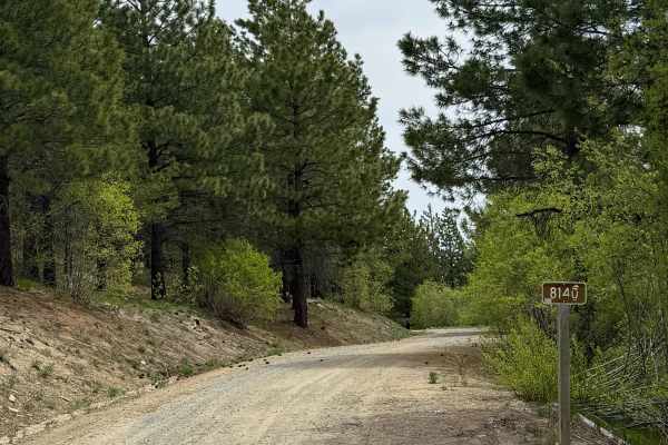
Antoine Creek Road - FS 8140
This forest road has sections of dirt and gravel. Starting from Cooper Mountain Road, you will descend nearly 3,200 feet in elevation. There are areas that are very steep with a 13% pitch. The road is wide enough for 2 vehicles to pass most of the way, but there are many switchbacks with ledges and ...
Learn more about Antoine Creek Road - FS 8140
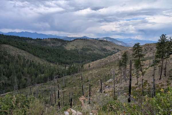
FS 4150-200
This out-and-back single-lane dirt road has some great views before ending at a tank trap just beyond the 265 road. It has some erosion damage and sections of gravel to prevent erosion. It goes through some pine forest as well as an old burn area that opens up the views. The 265 and 280 continue for...
Learn more about FS 4150-200
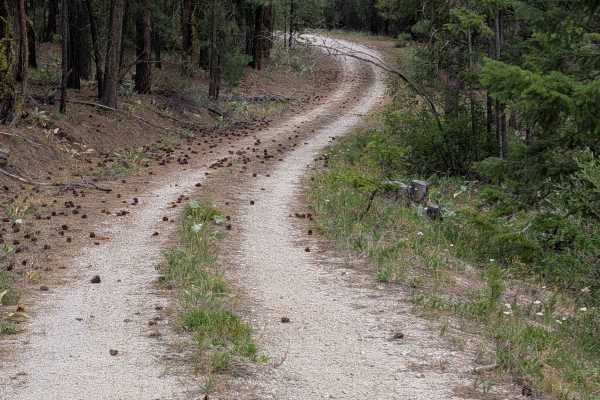
FS 4100-150
This is an easy out-and-back dirt road through mixed, mostly open forest. There's a bit of loose rock, but only significant to those on 2 wheels. Some base maps show it connecting through, but it does not. The one faint old road that could have been a connector at some time long past is tank-trapped...
Learn more about FS 4100-150
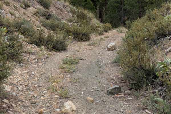
FS 4150-280
This single-lane unimproved dirt road begins right next to where FS 265 is blocked off. It ends a little over a mile later with large trees across the road near the junction with FS 100. It looks like it has been blocked for quite a while based on the overgrown road beyond. The track is loose in pla...
Learn more about FS 4150-280
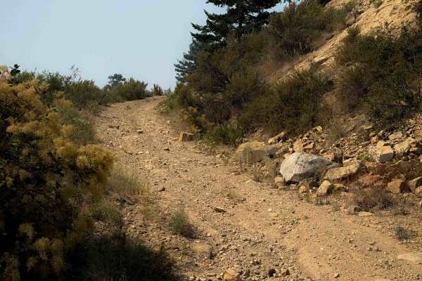
Mitchell Gold Ridge - FS 8215-113
This is a short dead-end ATV spur off of the Mitchell Creek ATV Trail. From the intersection with Mitchell Creek Trail, this trail starts climbing up a steep and loose trail with shallow ruts and loose rocks. It’s a shelf trail that is wide, but still exposed as it follows the curvature of the hills...
Learn more about Mitchell Gold Ridge - FS 8215-113
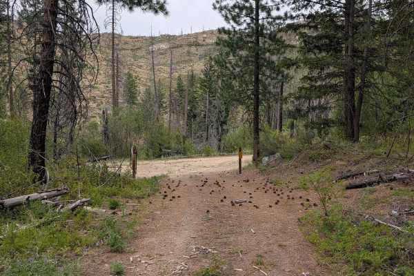
FS 4150-265
This single-lane dirt road starts next to where FS 200 road is blocked off. It's overgrown in places and has a few loose sandy spots, but is otherwise in good shape for an unmaintained road. It is tank-trapped just over a mile in next to the beginning of FS 280. FS 280 is also blocked about a mile ...
Learn more about FS 4150-265
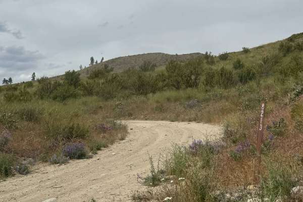
Johnson Creek Road - FS 8213
This is a narrow, one-lane, dirt-based forest road. There are a few places to pass, and the trail is a shelf road most of the way with over 2,100 feet in elevation change. There are ruts and wash under a foot, and bumpy rock garden sections with some loose rock. The switchbacks have ledges with high...
Learn more about Johnson Creek Road - FS 8213
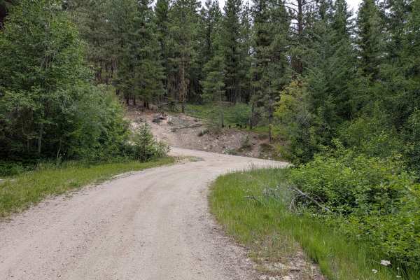
FS 4150-300
This is an easy dirt road with a little gravel in some places. There were a couple of areas with erosion damage just under a foot deep and a few areas with embedded rocks. It's a single lane, but there are ample places to meet safely. The road connects the FS 4150 to the main FS 41. The 41 is paved,...
Learn more about FS 4150-300
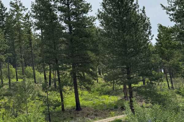
Washington Butte Trail
This is a mostly gravel forest road that climbs to the top of Washington Butte at 4,347 feet in elevation. The trail is narrow, two-track in most areas, and one vehicle wide with few places to pass. There is one sharp hairpin turn, and there are minor ledges along the trail. There are minor ruts and...
Learn more about Washington Butte Trail
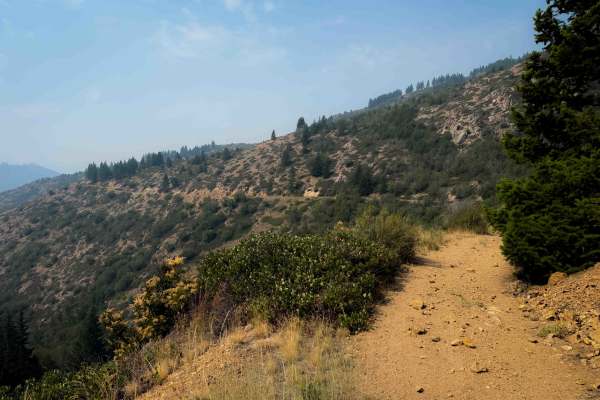
Mitchell Creek FS 8215
Mitchell Creek Trail is a 7 mile long easy ATV trail near the town of Chelan, Washington. The trail starts off of Grade Creek Road, and it climbs and winds up the hillside on a wide path that has shallow ruts, big loose rocks, and loose dirt. The first two miles of trail are the steepest, as it clim...
Learn more about Mitchell Creek FS 8215
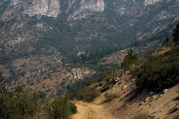
East Fork Mitchell FS 8215-112
East Fork Mitchell is a 3.5-mile-long easy ATV trail near the town of Chelan, Washington. The trail starts off Grade Creek Road, and it climbs and winds up the hillside on a wide path. The trail has minor technical features such as small loose rocks, shallow ruts, embedded rock surfaces, and loose d...
Learn more about East Fork Mitchell FS 8215-112
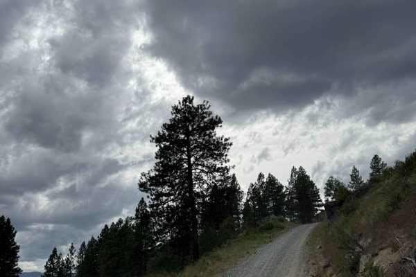
Deer Road - FS 8020-117
This is a dirt-based forest road with gravel sections and patches. The trail is a steep, narrow, one-lane road with places to pass. The trail climbs nearly 3,000 feet in elevation with switchbacks and big drop-offs. You will climb the first half of this trail, then descend the second half. There are...
Learn more about Deer Road - FS 8020-117
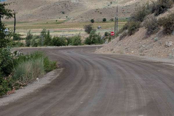
Finley Mountain - FS 4100-300
This mostly single-lane dirt road connects the FS 41 road to Highway 20 via Finley Canyon Road. It has wide open views due to passing through an old burned area. There are narrow spots, larger loose rock sections, and some loose sandy stretches. It's also a little overgrown in places. It's also an e...
Learn more about Finley Mountain - FS 4100-300
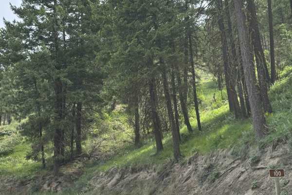
Echo Ridge - FS 8021-130
This is an easy gravel road that climbs up Echo Ridge approximately 400 feet in elevation. There are a couple of turns, but overall, this is an easy trail that any vehicle type could traverse. There are multiple hiking, biking, and snowmobile trails along the way, and the trail dead ends in the park...
Learn more about Echo Ridge - FS 8021-130
Beginner ATV trails near Methow, Washington
Explore ATV-friendly trails near you. These trails are accessible for vehicles up to 50 inches wide, perfect for ATVs and smaller off-road machines.
Hungry Mountain
The Hungry Mountain Trail begins 1 mile west of the Methow River, where Gold Creek Road meets Forest Service Road 4330/South Fork Gold Creek. The easy-going route is made up of gravel, crushed granite, and some slightly sandy stretches and travels through communities and National Forest Service land...
Learn more about Hungry Mountain
FS 4150
This is a 1.5-lane easy dirt and gravel road through a mixed pine and fir forest. There are a few embedded rocks. It begins where Benson Creek Drive meets the national forest boundary and meets up with the main FS 41 road adjacent to the southern boundary of this piece of Okanogan National Forest. T...
Learn more about FS 4150
Leecher Lookout - FS 4150-100
This dirt road climbs through mature pine forest to a gate 1.2 miles below Leecher Lookout. The road is mostly easy with a few embedded rock patches, ruts, and erosion. It is mostly single lane, but with plenty of places to safely meet another vehicle. It becomes a hillside shelf road as it climbs, ...
Learn more about Leecher Lookout - FS 4150-100
FS 4100-030
This single-lane road loops from the main FS 41 road. It has some loose rock on the climbs and descents that will be more noticeable to those on 2 wheels. There's also erosion damage up to a foot deep, as well as random rocks less than a foot high (some embedded, some loose). It's a fun little diver...
Learn more about FS 4100-030
Beginner UTV/side-by-side trails near Methow, Washington
Find UTV and side-by-side trails near you. These trails accommodate vehicles up to 60 inches wide, ideal for UTVs, side-by-sides, and wider off-road rigs.
Hungry Mountain
The Hungry Mountain Trail begins 1 mile west of the Methow River, where Gold Creek Road meets Forest Service Road 4330/South Fork Gold Creek. The easy-going route is made up of gravel, crushed granite, and some slightly sandy stretches and travels through communities and National Forest Service land...
Learn more about Hungry Mountain
FS 4150
This is a 1.5-lane easy dirt and gravel road through a mixed pine and fir forest. There are a few embedded rocks. It begins where Benson Creek Drive meets the national forest boundary and meets up with the main FS 41 road adjacent to the southern boundary of this piece of Okanogan National Forest. T...
Learn more about FS 4150
Leecher Lookout - FS 4150-100
This dirt road climbs through mature pine forest to a gate 1.2 miles below Leecher Lookout. The road is mostly easy with a few embedded rock patches, ruts, and erosion. It is mostly single lane, but with plenty of places to safely meet another vehicle. It becomes a hillside shelf road as it climbs, ...
Learn more about Leecher Lookout - FS 4150-100
FS 4100-030
This single-lane road loops from the main FS 41 road. It has some loose rock on the climbs and descents that will be more noticeable to those on 2 wheels. There's also erosion damage up to a foot deep, as well as random rocks less than a foot high (some embedded, some loose). It's a fun little diver...
Learn more about FS 4100-030
The onX Offroad Difference
onX Offroad combines trail photos, descriptions, difficulty ratings, width restrictions, seasonality, and more in a user-friendly interface. Available on all devices, with offline access and full compatibility with CarPlay and Android Auto. Discover what you're missing today!
Open Trail Map