
Beginner Off-Road Trails
Near Mayersville, Mississippi
Explore All Beginner Trails Near Mayersville, Mississippi
Beginner Off-Road Trails Near Mayersville, Mississippi
Discover the best beginner-friendly off-road trails near you. These easier, lower-rated trails are a great place to start — browse trail maps, check difficulty ratings, and find your next adventure.
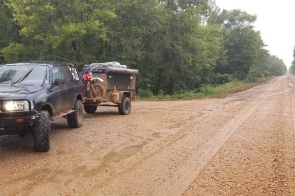
Delta NF, Sunflower WMA Access Road
Delta NF, Sunflower WMA Access Road is a flat, four-mile dirt levee road designed for drivers of any experience level looking for a direct route into the heart of the Delta National Forest. Running along the top of a levee just north of Vicksburg, Mississippi, this beginner-friendly path sits at an ...
Learn more about Delta NF, Sunflower WMA Access Road
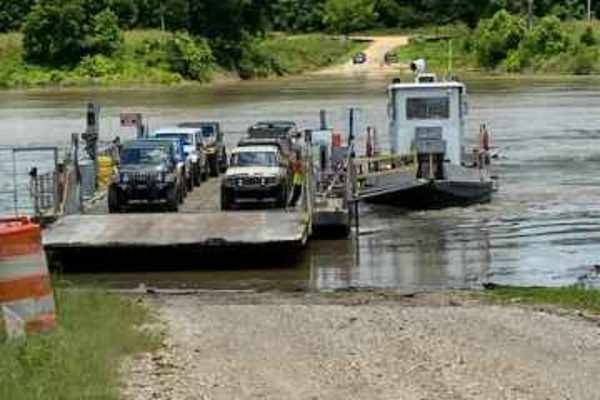
Kings Point Island
You can only reach Kings Point Island via Ferry. Begin your trip on Kings Point Ferry Road, which at the beginning consists of both gravel and asphalt, but don't let the asphalt fool you, it's just as bumpy as the gravel road. The trip to the ferry is 9 miles. You will pass many fields of soybeans, ...
Learn more about Kings Point Island
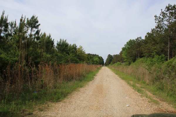
The Arkansas Overland Route - TrailHawk Loop - Section 22
Gravel roads that can be muddy after or during rains. There is some pavement. This is a short loop from Haus SP to HWY 82. There is a railroad track along some of this trail. This trail ends at Beekman Sawmill on HWY 82. Beekman Sawmill Company is a registered business formed in Louisiana, and accor...
Learn more about The Arkansas Overland Route - TrailHawk Loop - Section 22
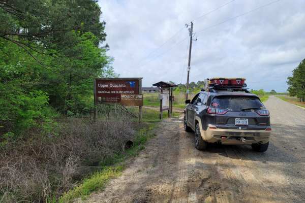
The Arkansas Overland Route - TrailHawk Loop - Section 23
The Arkansas Overland Route - TrailHawk Loop - Section 23 is a scenic gravel route perfect for overlanders and dual-sport riders looking to explore the remote bottomlands near the Louisiana-Arkansas border. Stretching approximately 8.5 miles, this segment connects Louisiana State Route 142 near Beek...
Learn more about The Arkansas Overland Route - TrailHawk Loop - Section 23
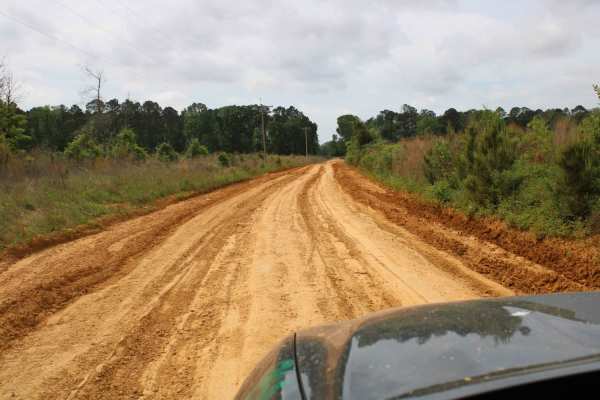
The Arkansas Overland Route - TrailHawk Loop - Section 24
This is a mix of Pavement, dirt, and gravel. It contains a dead end and a route to Bastrop where a bite to eat and restock on supplies can be made. Some sections can be muddy and have water crossings. Some areas are very rough with deep ruts. This section can be very dusty.
Learn more about The Arkansas Overland Route - TrailHawk Loop - Section 24
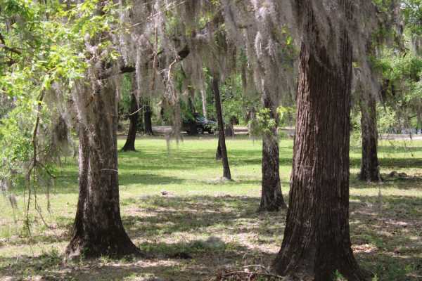
The Arkansas Overland Route - TrailHawk Loop - Section 25
Pavement, gravel, and dirt make up this section of the trail. This section goes out on a little island with beautiful homes and into the wilderness with a lot of dirt roads. Leaving Louisiana, this trail heads north into Arkansas. The dirt begins again, and some areas can be narrow and rough. This t...
Learn more about The Arkansas Overland Route - TrailHawk Loop - Section 25
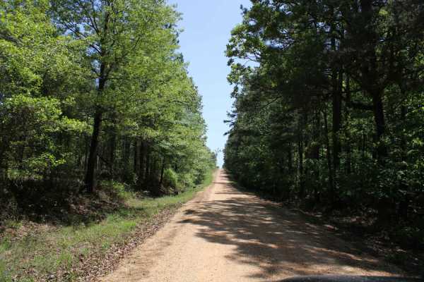
The Arkansas Overland Route - TrailHawk Loop - Section 19
This is a mix of gravel and pavement. The gravel can be messy when wet. This goes to Crosset Harbor RV Park. There is camping, a boat ramp, and restrooms. This section ends at the Ouachita River on the edge of this park. Great views and play equipment for the kiddos to take a break before beginning ...
Learn more about The Arkansas Overland Route - TrailHawk Loop - Section 19
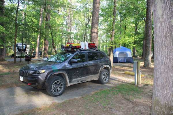
The Arkansas Overland Route - TrailHawk Loop - Section 21 - Haus SP
The Arkansas Overland Route - TrailHawk Loop - Section 21 - Haus SP is a scenic, beginner-friendly overland route perfect for families and novice offroaders seeking a relaxed drive through the Arkansas-Louisiana borderlands. Spanning approximately 35.5 miles, this point-to-point trail connects the t...
Learn more about The Arkansas Overland Route - TrailHawk Loop - Section 21 - Haus SP
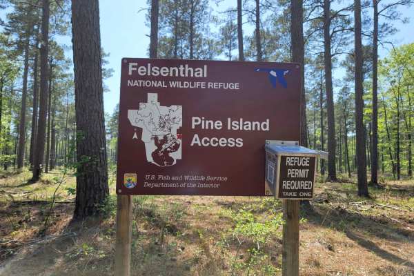
The Arkansas Overland Route - TrailHawk Loop - Section 20
The Arkansas Overland Route - TrailHawk Loop - Section 20 is an easy, scenic 5.6-mile trek ideal for beginners and overland travelers looking to access the water at the Pine Island Boat Ramp and Recreation Area. Traversing a nearly flat landscape with minimal elevation change between 72 and 92 feet,...
Learn more about The Arkansas Overland Route - TrailHawk Loop - Section 20
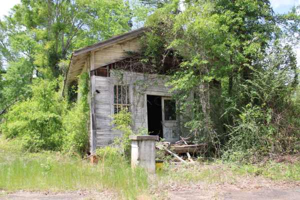
The Arkansas Overland Route - TrailHawk Loop - Section 26
This is a mix of Pavement, dirt, and gravel. Some areas can be nasty when wet. Some areas can become flooded. Some areas have ruts. This trail ends at Felsenthal National Wildlife Refuge Lock and Dam Access. There are restrooms and camping in this area. There is Access to the Ouachita River.
Learn more about The Arkansas Overland Route - TrailHawk Loop - Section 26
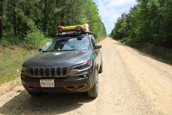
The Arkansas Overland Route - TrailHawk Loop - Section 27
This trail contains pavement, dirt, and gravel. It leaves the Felsenthal National Wildlife Refuge Lock and Dam access area and ends at Moro State Park. This is the final section of the TrailHawk Loop. This section can have messy areas when wet. Watch for wildlife and logging trucks in some areas. Th...
Learn more about The Arkansas Overland Route - TrailHawk Loop - Section 27
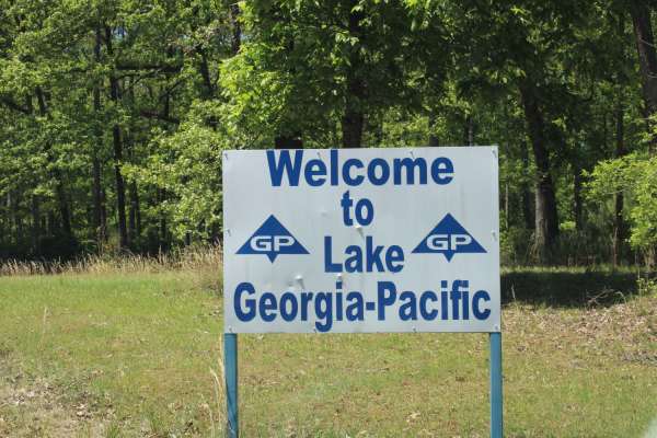
The Arkansas Overland Route - TrailHawk Loop - Section 18
Gravel and dirt roads that can be dusty when dry. Some pavement is in this section. These roads can be muddy and slick with possible ruts when wet. Some areas can be flooded. This section forms the hawk's wing when looking at this loop on the map. This takes you to Georgia Pacific Park. There is fis...
Learn more about The Arkansas Overland Route - TrailHawk Loop - Section 18
The Arkansas Overland Route - TrailHawk Loop - Section 17
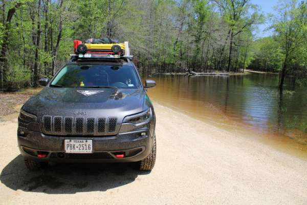
Gravel roads that can be muddy and slick when wet. Roads can become flooded and not passable during and after rains. This goes to a lake and camping area. There is a section known to hold water -depths can vary. Travel with caution in the flooded areas. Watch for wildlife as you travel the route.
Learn more about The Arkansas Overland Route - TrailHawk Loop - Section 17
The Arkansas Overland Route - TrailHawk Loop - Section 16
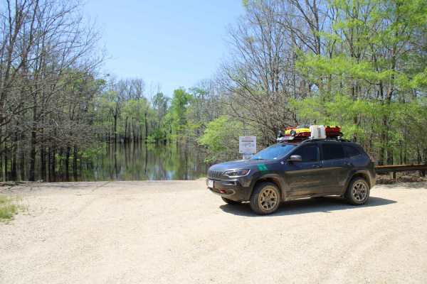
The Arkansas Overland Route - TrailHawk Loop - Section 16 is an easy, scenic 7.2-mile corridor perfect for beginner offroaders and overlanders looking for a relaxed journey to a secluded lakeside retreat. Transitioning between gravel and pavement, this well-maintained corridor winds through a densel...
Learn more about The Arkansas Overland Route - TrailHawk Loop - Section 16
The Arkansas Overland Route - TrailHawk Loop - Section 15
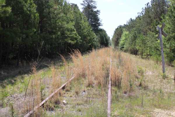
Gravel and dirt roads that can be muddy and slick with possible ruts when wet. This is Section 15 of the Arkansas Overland Route. This section makes up the Hawks' beak when looking at this loop on the map. There are some nice straight sections on this trail. Watch for wildlife. This road goes to the...
Learn more about The Arkansas Overland Route - TrailHawk Loop - Section 15
Beginner ATV trails near Mayersville, Mississippi
Explore ATV-friendly trails near you. These trails are accessible for vehicles up to 50 inches wide, perfect for ATVs and smaller off-road machines.
Beginner UTV/side-by-side trails near Mayersville, Mississippi
Find UTV and side-by-side trails near you. These trails accommodate vehicles up to 60 inches wide, ideal for UTVs, side-by-sides, and wider off-road rigs.
The onX Offroad Difference
onX Offroad combines trail photos, descriptions, difficulty ratings, width restrictions, seasonality, and more in a user-friendly interface. Available on all devices, with offline access and full compatibility with CarPlay and Android Auto. Discover what you're missing today!
Open Trail Map