Trail Overview
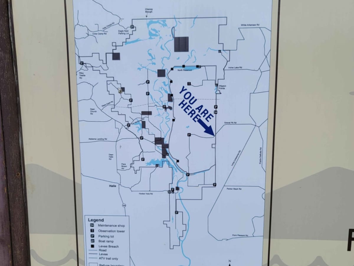
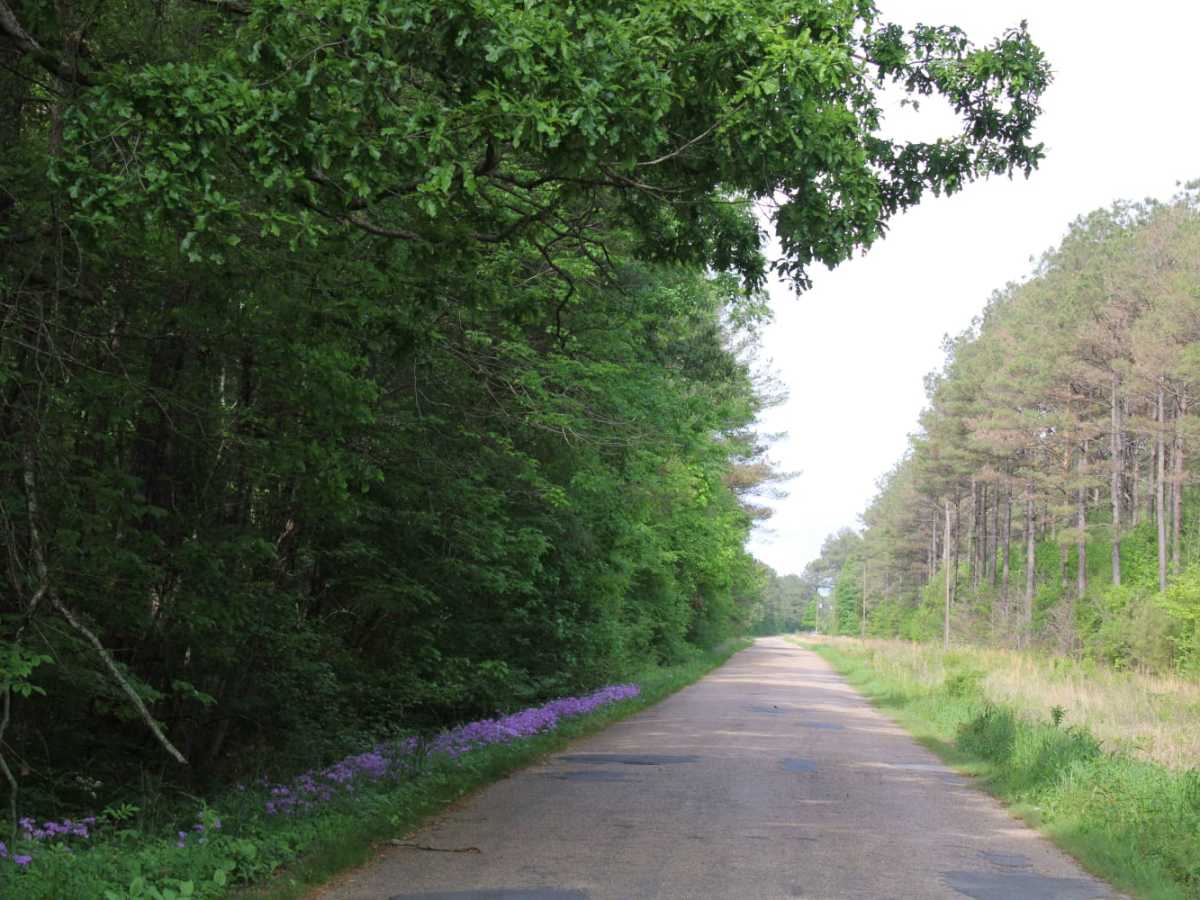
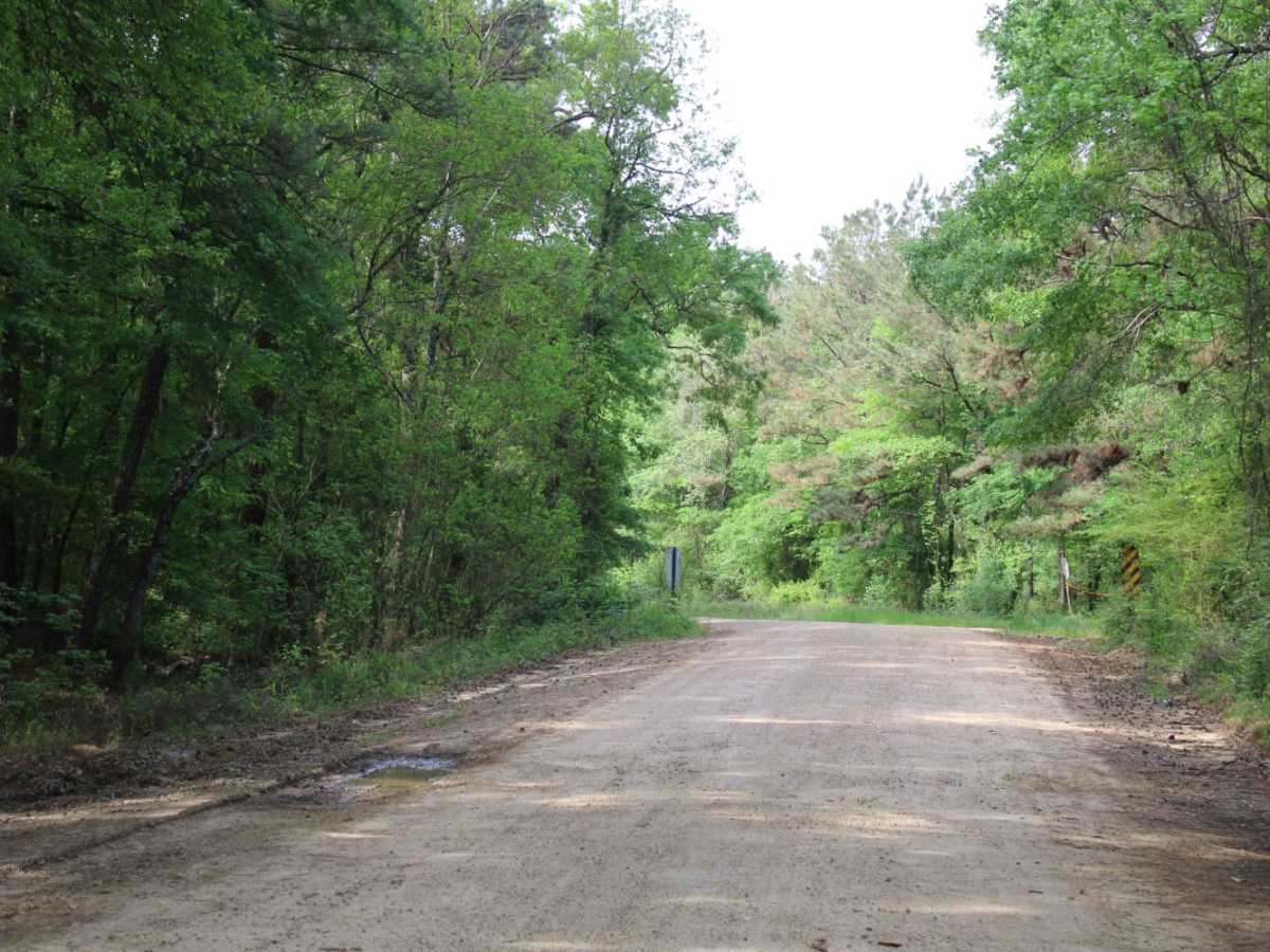
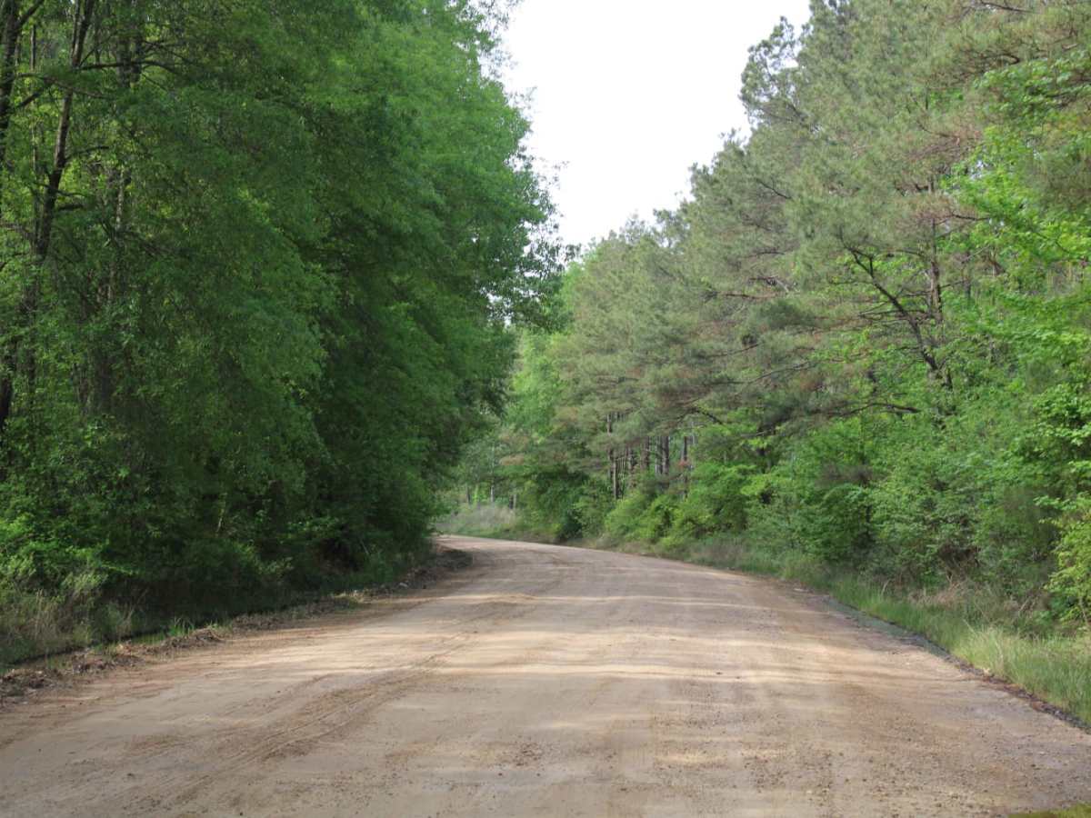
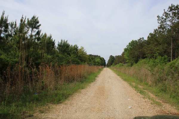
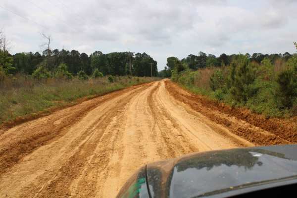
The Arkansas Overland Route - TrailHawk Loop - Section 23 is a scenic gravel route perfect for overlanders and dual-sport riders looking to explore the remote bottomlands near the Louisiana-Arkansas border. Stretching approximately 8.5 miles, this segment connects Louisiana State Route 142 near Beekman with Mollicy Shop Road, traversing the flat terrain of the Upper Ouachita Wilderness area. The route features minimal elevation changes, ranging from a low of 74 feet to a high of 122 feet, making it an easy drive during dry periods. High-clearance vehicles and those with four-wheel-drive will find the hard-packed gravel straightforward, though the path quickly becomes a slick, muddy endeavor after heavy rainfall.
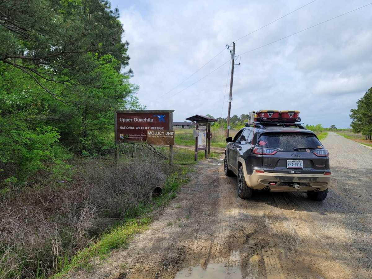
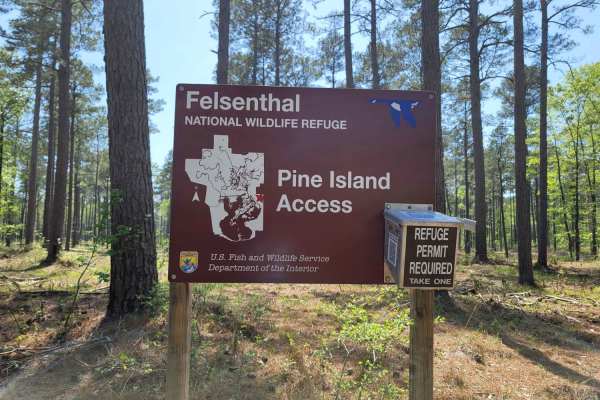
A technical rating of 2 reflects the gentle grade and lack of major rock obstacles, but deep mud holes and standing water are common seasonal hazards. Because parts of the route run through flood-prone lowlands, entire sections can flood, requiring travelers to plan a reroute during wet seasons. A permit box is located at the entrance of the wilderness area, and all visitors must complete the required paperwork before proceeding. Numerous pull-offs along the road provide opportunities to stop and observe local wildlife or let oncoming traffic pass, making this route highly accessible for stock SUVs, four-wheel-drive trucks, and SxSs when dry.
Access Description
A permit box is located at the entrance of the wilderness area, where all visitors must complete the required paperwork before proceeding. Sections of the route run through flood-prone lowlands and may flood completely during wet seasons, requiring alternate route planning.