
Beginner Off-Road Trails
Near Manassas Park, Virginia
Explore All Beginner Trails Near Manassas Park, Virginia
Beginner Off-Road Trails Near Manassas Park, Virginia
Discover the best beginner-friendly off-road trails near you. These easier, lower-rated trails are a great place to start — browse trail maps, check difficulty ratings, and find your next adventure.
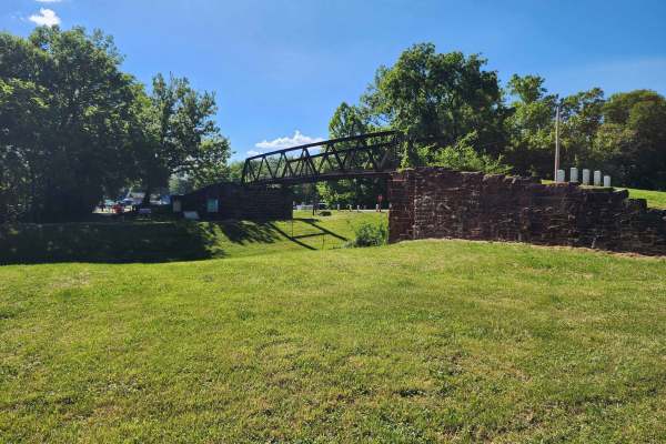
Whites Ferry
This is an easy drive with many tranquil farm views near the Potomac River. The drive from West to East starts at Whites Ferry, which is a car ferry that is currently closed. When it re-opens, you will be able to start or end your adventure by crossing the Potomac in your car on a ferry. The Western...
Learn more about Whites Ferry
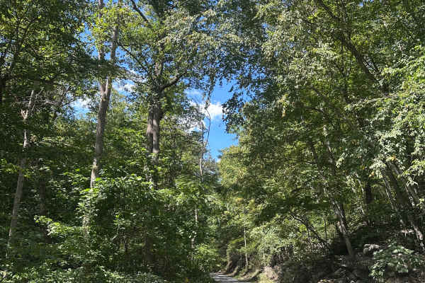
Strasburg Reservoir
This is an unmaintained forest road consisting of a mix of gravel, loose rocks and dirt. There are a few small ruts and washouts, as well as steep inclines and declines that could require 4wd when snow or ice is present. There are numerous camp sites along this route, and cell service is spotty.
Learn more about Strasburg Reservoir
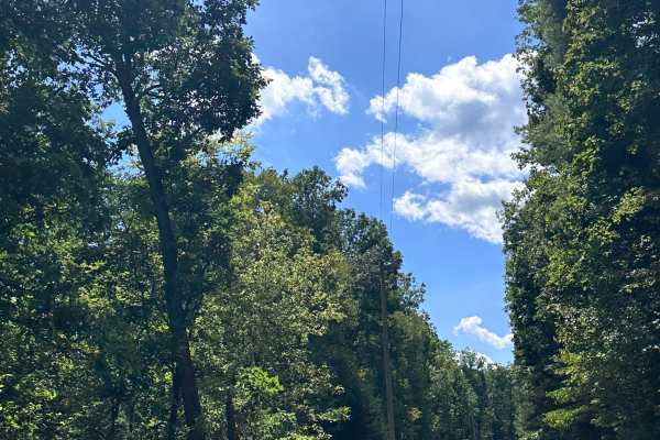
Mine Mountain
This is a maintained gravel road consisting of a few potholes and rough sections, as well as steep inclines and declines, which could require 4wd when snow or ice is present. No camping along this route, and cell service is spotty. Woodstock Tower and Peters Mill Run OHV area can both be accessed at...
Learn more about Mine Mountain
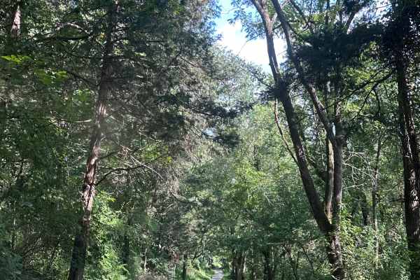
Riverwater Lane
This is a maintained gravel road leading to a few very secluded campsites right on the edge of the Shenandoah River. The trail is mostly 2 vehicles wide, but gets tight at times. Views are fantastic at the end of this trail, and there is little to no cell service in the area.
Learn more about Riverwater Lane
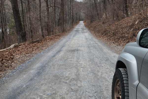
Frederick Watershed
This is an easy cruise through the Frederick Watershed which is an unmaintained mostly gravel road. It can be done in just about any vehicle however I recommend an off-road oriented vehicle due to persistent bumps and ruts. There are a variety of activities in the watershed including hiking, mountai...
Learn more about Frederick Watershed
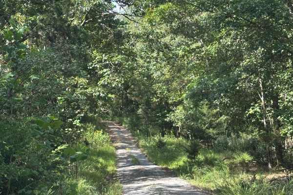
Whiting Tract
This is a single width road leading to a dead end field with many hike in camping options in the surrounding area. The trail is very narrow, with little to no room to pass another vehicle. Expect pinstripes throughout most of this trail. Cell service is spotty in the area.
Learn more about Whiting Tract
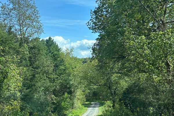
Bealers Pond
This is an access road to Bealers pond, consisting mainly of gravel with a few potholes. At the end of the trail, you will find Bealer's Pond, with many fishing options. This is a great spot to relax, cast a line out, and enjoy the beautiful views of the surrounding Shenandoah Valley. Cell service i...
Learn more about Bealers Pond
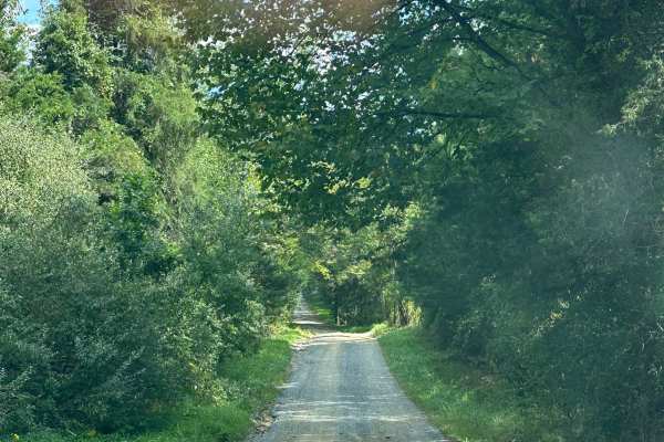
Shenandoah Boat Launch
This is an access road to a boat launch on the Shenandoah River. This trail consists mostly of dirt with a few small ruts as well as loose rocks. There are a few camping options in the area, and cell service is spotty. Great place to have a picnic and take in the beautiful views of the Shenandoah Ri...
Learn more about Shenandoah Boat Launch
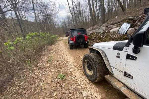
Peters Mill Run OHV Trail
Peters Mill Run is a beginner-friendly, 8.4-mile point-to-point offroad trail near Fort Valley, Virginia, offering stock four-wheel-drive vehicles, SxSs, and ATVs an accessible mountain driving experience. As a designated Jeep Badge of Honor trail within the George Washington and Jefferson National ...
Learn more about Peters Mill Run OHV Trail
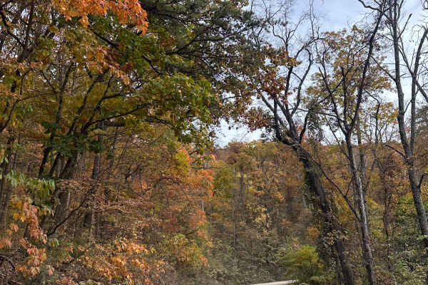
Woodstock Tower Road
This is a steep, windy road leading up to the Woodstock Observation Tower. This tower offers amazing views of the surrounding valleys and mountains. This road is mainly loose gravel with switchbacks and steep inclines. This can be driven in 2WD, but use caution if snow or ice is present. Peters Mill...
Learn more about Woodstock Tower Road
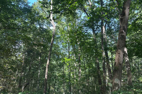
Duncan Hollow
Short out-and-back trail leading to private property. This trail is single-width with no room to pass and limited options to move over for other vehicles. The terrain is mainly gravel, with one small water crossing. There are a few dispersed camping options along this route, and cell service is spot...
Learn more about Duncan Hollow
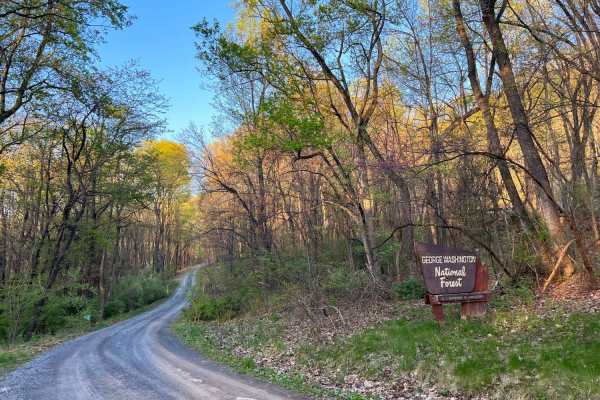
Hawk
Hawk Run is a meandering forest road that crosses through some private property as it climbs Spring Mountain along the border of Virginia and West Virginia. The road is mostly gravel with some dirt and clay in good condition with a few potholes and washouts. It crests at an elevation of over 2,000ft...
Learn more about Hawk
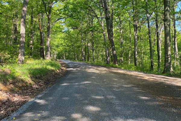
Edinburg Gap
Edinburg Gap is a minimally maintained Forest Service Road located in the George Washington National Forest. The road is one vehicle wide with plenty of space to pass and can be accessed by either end. The road passes through one shallow stream and an area of rockier terrain but is still accessible ...
Learn more about Edinburg Gap
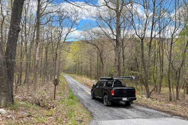
Vances Cove
Vances Cove trail is a meandering gravel road starting at Cold Spring Gap. Descending into the valley along cold spring creek. The road can become washed out in some areas after heavy rain, as the trail so closely follows it. Tight and narrow, the trail winds down to an intersection at Vances Cove, ...
Learn more about Vances Cove
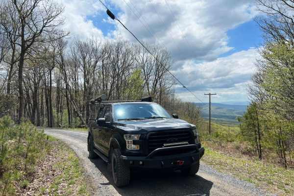
Dry Gap Ridge
Dry Gap Ridge is a scenic, short out-and-back trail along the Virginia and West Virginia border, perfect for offroaders seeking quick, sweeping ridge views and a mild climb. Spanning approximately 1.5 miles, this route climbs to a maximum elevation of 2,413 feet along a prominent ridge leading to a ...
Learn more about Dry Gap Ridge
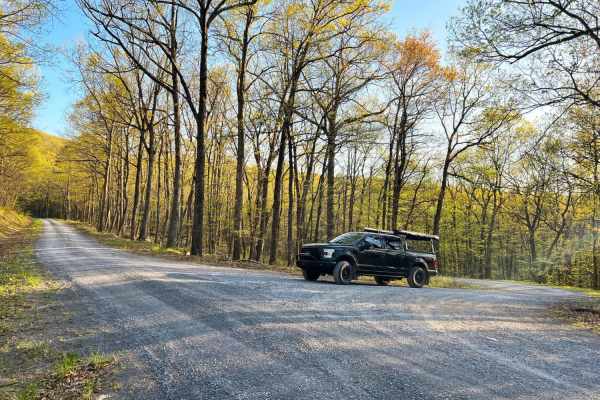
Hornet
Hornet descends out the back forest of George Washington National Forest to Hawk Campground. Many dispersed campsites can also be found past the Hawk Recreation and Picnic area. The road down is mostly gravel with many washouts of clay and mud exposing ruts and rocks. This is a scenic and secluded a...
Learn more about Hornet
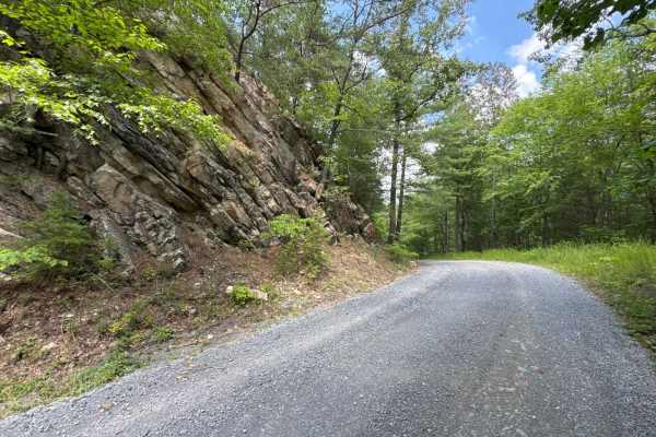
Chrisman Hollow - FS 274
The Chrisman Hollow Trail, also known as FS 274, connects US 211 at the south end and State Road 674 at the north end of the trail. It takes you to several trailheads, including the Lion's Tale Trail, which offers an ADA-accessible, half-mile trail along the Passage Creek. There are several primitiv...
Learn more about Chrisman Hollow - FS 274
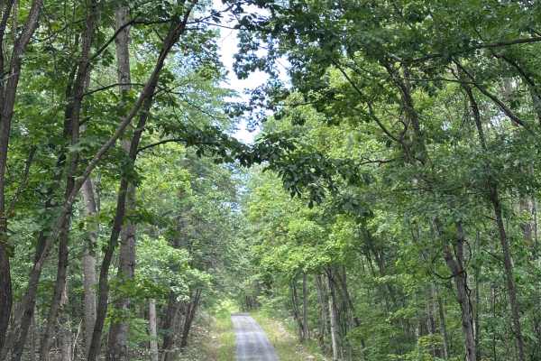
Narrow Passage - FS 88
Single-width gravel road with multiple dispersed camping and hiking options as well. There are a few steep inclines and declines that could be an issue with 2WD vehicles in the winter months when snow or ice is present, but generally any vehicle can traverse this trail. Cell service is spotty in the...
Learn more about Narrow Passage - FS 88
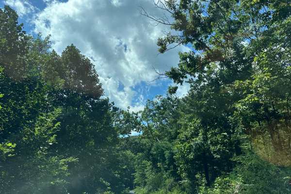
Little Stoney - FS 92
A scenic route through George Washington National Forest, this trail offers great views throughout. There are many camping options off this trail, as well as hiking and fishing options as well. A few inclines and declines could be an issue with 2wd vehicles when snow or ice is present, but generally...
Learn more about Little Stoney - FS 92
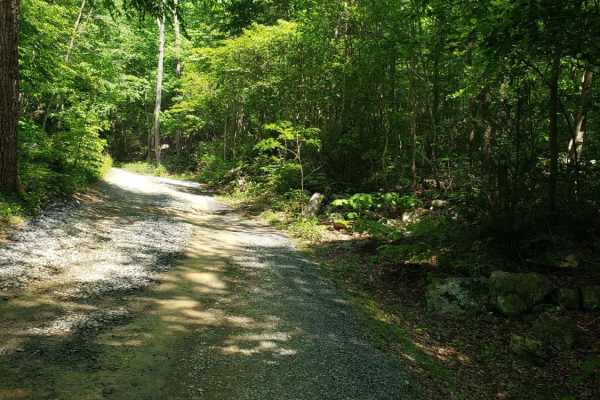
Emerald Pond
Dead end route to a mountain pond. This route gradually climbs the mountain and ends at multiple locked gates. The route has some exposed base stone and muddy sections but generally maintained gravel forest service route. The route follows a creek with several dispersed camping areas along the creek...
Learn more about Emerald Pond
Beginner ATV trails near Manassas Park, Virginia
Explore ATV-friendly trails near you. These trails are accessible for vehicles up to 50 inches wide, perfect for ATVs and smaller off-road machines.
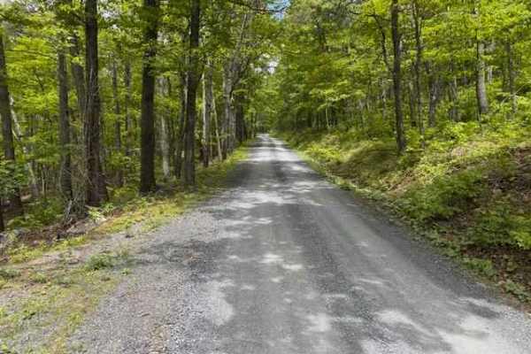
Devils Hole Road
Devils Hole Road, or RT 691 Gravel Road, is an adventure weaving through the heart of the George Washington National Forest. Rocky in sections, with winding forest roads, leads to breathtaking mountain overlooks. Surrounded by towering hardwoods and remote wilderness, the trail delivers a perfect mi...
Learn more about Devils Hole Road
Beginner UTV/side-by-side trails near Manassas Park, Virginia
Find UTV and side-by-side trails near you. These trails accommodate vehicles up to 60 inches wide, ideal for UTVs, side-by-sides, and wider off-road rigs.
Devils Hole Road
Devils Hole Road, or RT 691 Gravel Road, is an adventure weaving through the heart of the George Washington National Forest. Rocky in sections, with winding forest roads, leads to breathtaking mountain overlooks. Surrounded by towering hardwoods and remote wilderness, the trail delivers a perfect mi...
Learn more about Devils Hole Road
The onX Offroad Difference
onX Offroad combines trail photos, descriptions, difficulty ratings, width restrictions, seasonality, and more in a user-friendly interface. Available on all devices, with offline access and full compatibility with CarPlay and Android Auto. Discover what you're missing today!
Open Trail Map