Dry Gap Ridge

Total Miles1.5
Technical Rating
2Easy
Best TimeSpring, Summer, Fall
Trail TypeFull-Width Road
Accessible By
Open Trail Map

Trail Overview

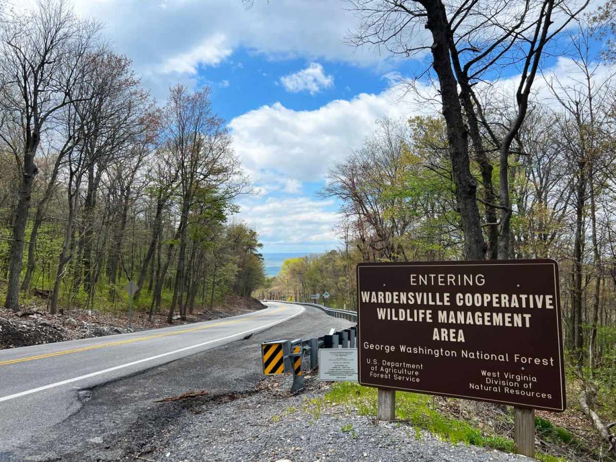
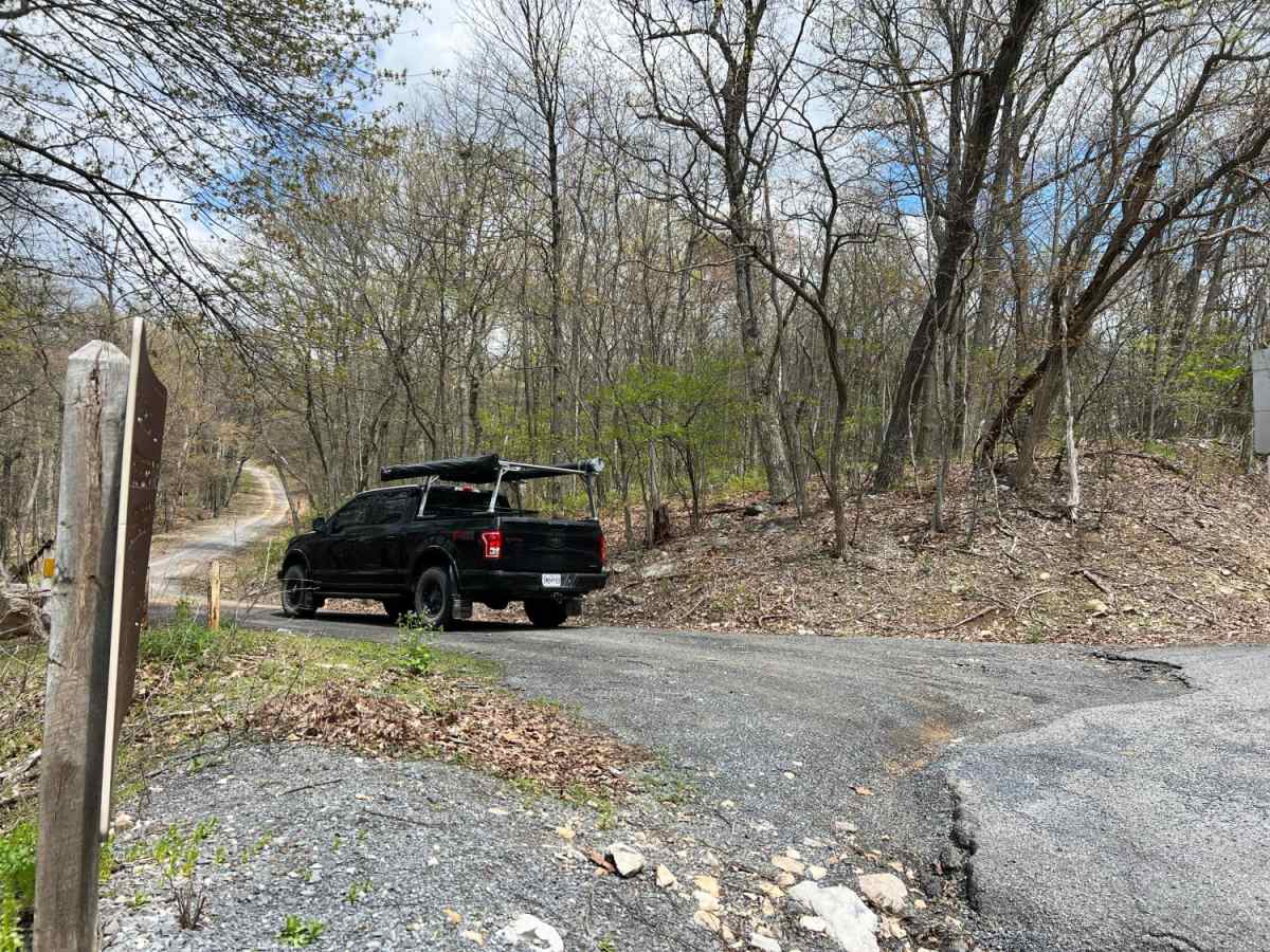
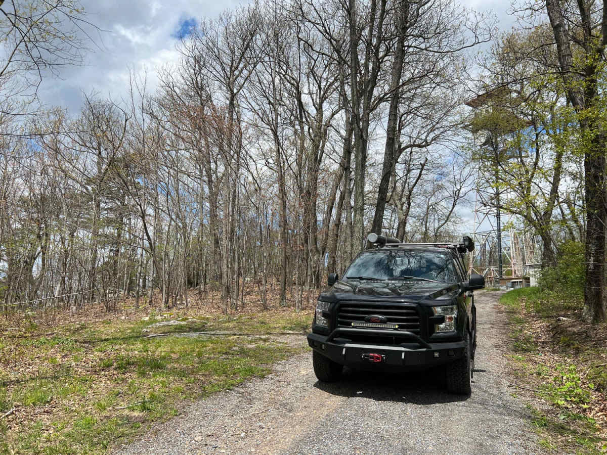
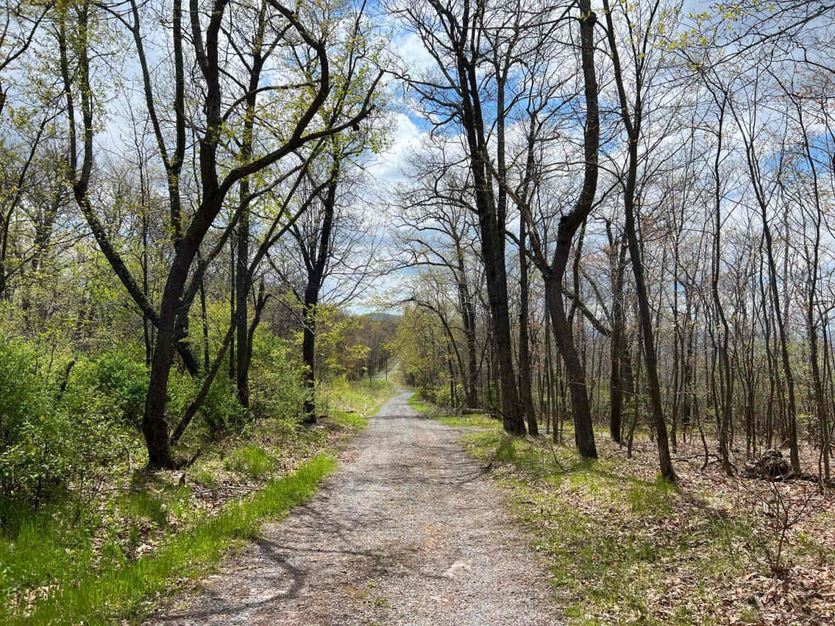
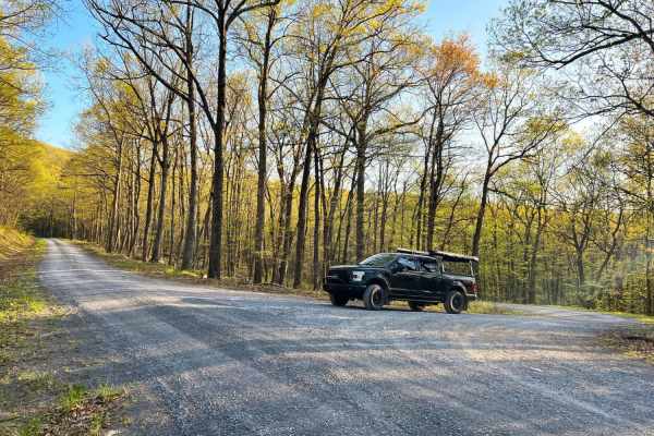
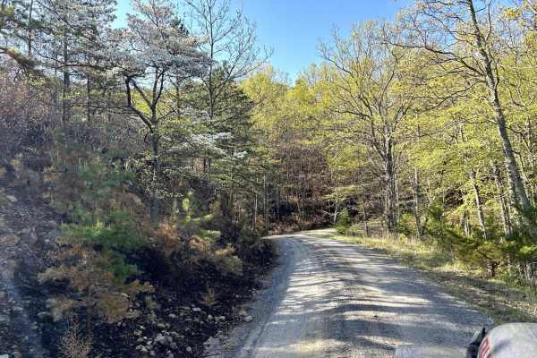
Dry Gap Ridge is a scenic, short out-and-back trail along the Virginia and West Virginia border, perfect for offroaders seeking quick, sweeping ridge views and a mild climb. Spanning approximately 1.5 miles, this route climbs to a maximum elevation of 2,413 feet along a prominent ridge leading to a cell tower. The initial climb presents the most significant challenge of the trip with its steep grade, making four-wheel drive highly recommended. The trail is rated a technical 2 out of 10, meaning it is largely straightforward but features some moderately challenging obstacles for standard stock vehicles. The route is primarily composed of a gravel surface, though weather-worn sections reveal slick clay and embedded rock obstacles that require careful tire placement. Navigating the ridge during late fall and winter offers the best visibility, as the bare trees reveal breathtaking, unobstructed vistas of the surrounding Appalachian mountains and Vances Cove below. Access to the trail is located off Virginia State Route 48 (Wardensville Pike) near Cold Spring Gap, making it an easy add-on to other regional trails.

Photos of Dry Gap Ridge

Difficulty

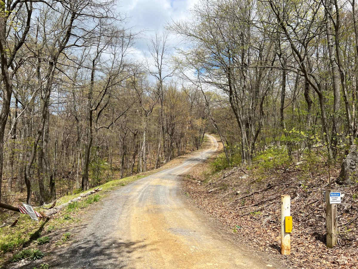
Mostly gravel with some areas washed out exposing only clay and rocks.

Technical Rating

2

Status Reports

Add Status Report
Thomas P
Jun 12, 2025
2002 Jeep Grand Cherokee
Open
Normal
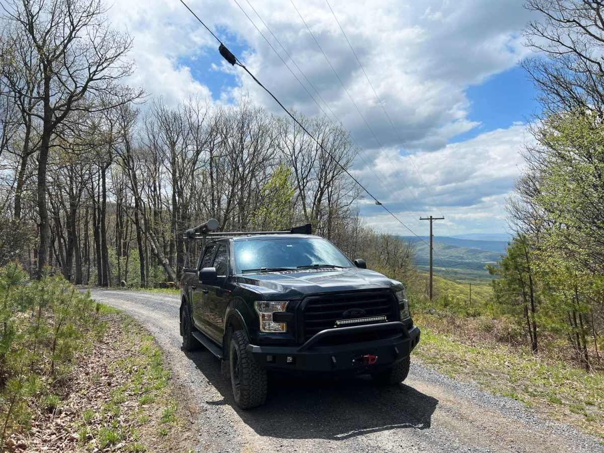
This is a short graded and gravel road. It's basically just an access road to the communication towers. There is one spot that has a bit of a view where the power lines go down the hill.
Ed B
May 26, 2025
2024 Ford Bronco
Open
Normal
Easy and quiet.
evan kibler
Apr 07, 2025
2025 Ford Ranger
Open
C.B. Stevens
Jul 28, 2024
2020 Jeep Gladiator
Open
Normal
Well-maintained and very easy gravel road. You could do this trail in a broken-down minivan with flat tires… the max grade on this is only 10degrees - and that’s only for about 10 feet. Unless you run into ice I don’t see anybody having any problem getting all the way up to the tower. There’s a nice view of the valley from the power line RoW, but this time of year you can’t otherwise see much through the trees despite being on the spine of a very narrow ridge. Hawk Trail (no motorized use) parallels this trail, and there are some campsites just a short walk off this trail…but not really any place to park your vehicle overnight.
Big Balls
May 30, 2023
Open
Muddy/Wet
Kevin Steele
May 13, 2023
Open
Muddy/Wet

Dry Gap Ridge Trail can be accessed by the following ride types:

  • High Clearance
  • Full Width

Access Description

A high-clearance 4WD vehicle is highly recommended due to a steep initial climb and sections of washed-out clay and rocks. The trail can become very slick and muddy after wet weather.

Dry Gap Ridge Map

The onX Offroad Difference

onX Offroad combines trail photos, descriptions, difficulty ratings, width restrictions, seasonality, and more in a user-friendly interface. Available on all devices, with offline access and full compatibility with CarPlay and Android Auto. Discover what you're missing today!

Open Trail Map