
Beginner Off-Road Trails
Near Lost River, Idaho
Explore All Beginner Trails Near Lost River, Idaho
Beginner Off-Road Trails Near Lost River, Idaho
Discover the best beginner-friendly off-road trails near you. These easier, lower-rated trails are a great place to start — browse trail maps, check difficulty ratings, and find your next adventure.
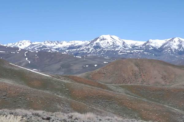
Hammond Canyon to Timbered Dome
This 10-mile track drops down into Antelope Valley and then goes back up towards Timbered Dome. You gain 1800 feet in elevation. The track is primarily on BLM, and where it crosses private property, access is allowed. Opportunities for backpacking, hiking, wildlife viewing, climbing, sightseeing, an...
Learn more about Hammond Canyon to Timbered Dome
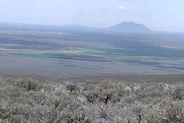
Appendicitis Hill WSA Spur #7
Appendicitis Hill WSA Spur #7 is a short, scenic 1.5-mile round-trip dead-end spur ideal for offroaders seeking a quick escape into the rugged terrain of Idaho's Appendicitis Hill Wilderness Study Area. Branching off from the Hammond Canyon network, this easy dirt trail climbs just over 300 feet, pe...
Learn more about Appendicitis Hill WSA Spur #7
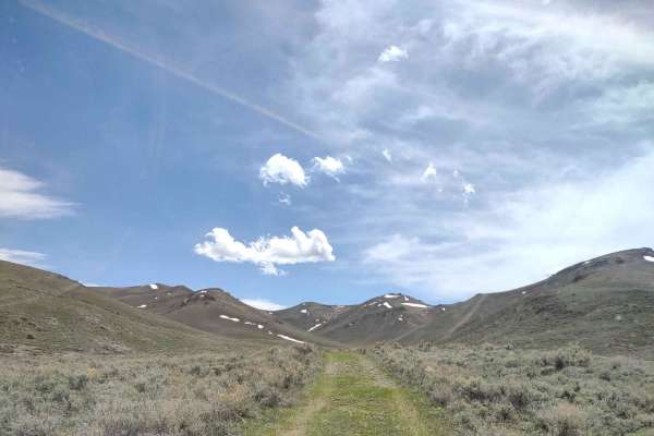
Appendicitis Hill Spur #5
Appendicitis Hill Spur #5 is a scenic and easy-going route perfect for beginners, four-wheel-drive vehicles, and SxSs looking to explore the rugged beauty of the Appendicitis Hill Wilderness Study Area. This unpaved, 1.4-mile spur (3 miles round trip) sits at an elevation of roughly 7,100 to 7,300 f...
Learn more about Appendicitis Hill Spur #5
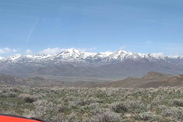
Hammond Canyon to Spur 7
This 6-mile RT spur goes deeper into the Appendicitis Hill Wilderness Study Area at about 7000 feet. Opportunities for backpacking, hiking, wildlife viewing, climbing, sightseeing, and photography are available here. The area is steep and rugged, so some of these activities are challenging. The view...
Learn more about Hammond Canyon to Spur 7
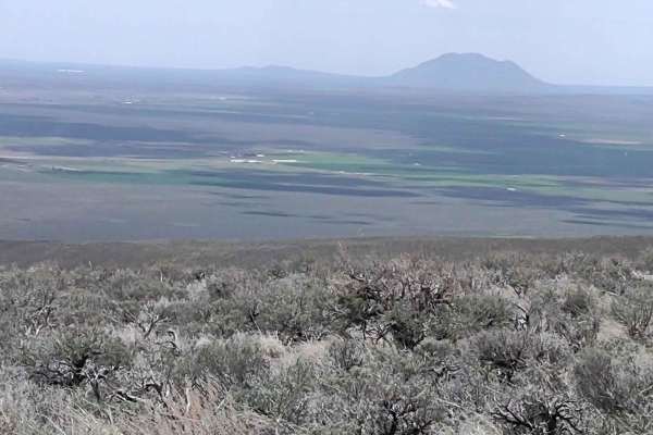
Hammond Canyon to Appendicitis Hill
This trail explores another area of the Appendicitis Hill Wilderness Study Area. It's just under a mile long, and it's a dead-end trail. Opportunities for backpacking, hiking, wildlife viewing, climbing, sightseeing, and photography are available here. The area is steep and rugged, so some of these ...
Learn more about Hammond Canyon to Appendicitis Hill
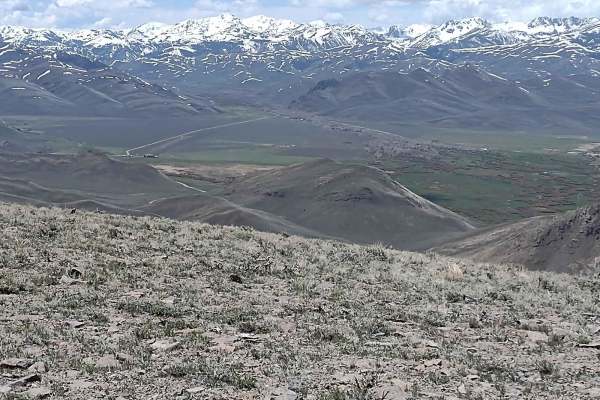
Appendicitis Hill WSA Loop
The Appendicitis Hill WSA Loop is an ideal adventure for offroaders seeking a scenic, moderately easy drive through Idaho's rugged backcountry, showcasing spectacular high-ridge views of the surrounding wilderness. This 9.5-mile track climbs through the steep and rugged terrain of the Appendicitis H...
Learn more about Appendicitis Hill WSA Loop

Timbered Dome - Hammond Spring Creek
Timbered Dome - Hammond Spring Creek is an easy, scenic eight-mile round-trip trail ideal for beginner offroaders, SxSs, and high-clearance four-wheel-drive vehicles seeking breathtaking views of the southern Pioneer Mountains. Beginning at an elevation of approximately 6,097 feet, the route winds a...
Learn more about Timbered Dome - Hammond Spring Creek
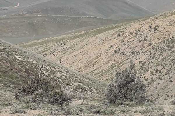
Hammond Canyon to Appendicitis Hill
This trail takes you a little deeper into the Appendicitis Hill Wilderness Study Area and up to 7000 feet. Opportunities for backpacking, hiking, wildlife viewing, climbing, sightseeing, and photography are available here. The area is steep and rugged, so some of these activities are challenging. Th...
Learn more about Hammond Canyon to Appendicitis Hill
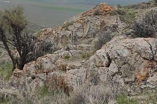
Appendicitis Hill Spur 2
Appendicitis Hill Spur 2 is a short, easy half-mile dirt spur perfect for beginners and scenic explorers seeking quick access to the rugged Appendicitis Hill Wilderness Study Area. This route ascends through the scenic desert landscape of Idaho near Arco, climbing from 5,820 feet to a high point ove...
Learn more about Appendicitis Hill Spur 2
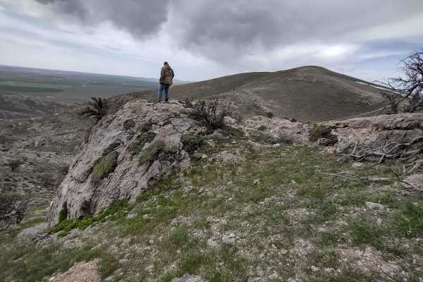
Hammond Canyon Spur
This trail takes you a little deeper into the Appendicitis Hill Wilderness Study Area and up to 6800 feet. Opportunities for backpacking, hiking, wildlife viewing, climbing, sightseeing, and photography are available here. The area is steep and rugged, so some of these activities are challenging. Th...
Learn more about Hammond Canyon Spur

Alder Creek Loop at Chimney Gulch
This beginner-friendly scenic route is ideal for offroaders seeking stunning high-elevation views of Idaho's Lost River Range while connecting through the historic Mackay Mine Hill trail network. Starting from Chimney Gulch and winding through to the Tuscarora Gulch Trail, the route is also known as...
Learn more about Alder Creek Loop at Chimney Gulch
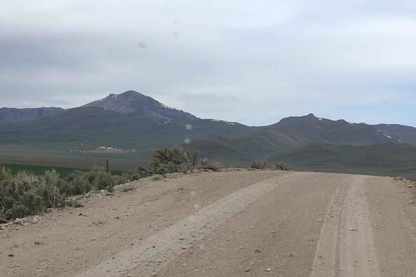
Hammond Canyon To Appendicitis Hill
West of Arco, Idaho, Hammond Canyon Road takes you onto BLM lands around Appendicitis Hill. This 4-mile trail connects to Appendicitis Hill Spurs #1 - #6, and it generally follows Hammond Canyon Road into the Appendicitis Hill Wilderness Study Area. The wildlife in this area includes deer and elk. T...
Learn more about Hammond Canyon To Appendicitis Hill
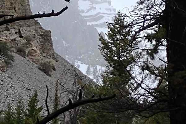
Chimney Gulch to Mammoth Canyon
This 12-mile track leaves the Mackay Mine Hill Tour Track and ventures to 9238 feet above sea level, deep into the Lost River Mountain Range. You drive along and cross high mountain creeks, and the possibility of wildlife sightings is plentiful. Snow-covered peaks above, hearty little flowers on the...
Learn more about Chimney Gulch to Mammoth Canyon
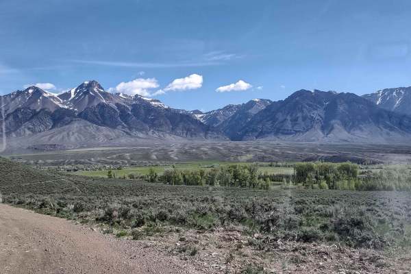
Mackay Mine Hill Bypass
Perfect for offroaders seeking an alternative route or a quicker descent, the Mackay Mine Hill Bypass offers an easy-going connection from Mackay up into the towering Lost River Range without having to follow the main Mackay Mine Hill Tour trail. Spanning approximately 2.35 miles through the rolling...
Learn more about Mackay Mine Hill Bypass
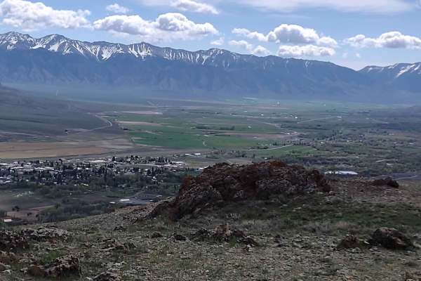
Lost River Road to Blaze Canyon
This 3-mile track connects the Mackay Mine Hill Tour track to Blaze Canyon. You skirt across the top of the mountain at about 6600 feet, high above the town of Mackay, with spectacular views. There are hiking and exploring possibilities all along the trail, as well as overlooking areas to see the va...
Learn more about Lost River Road to Blaze Canyon
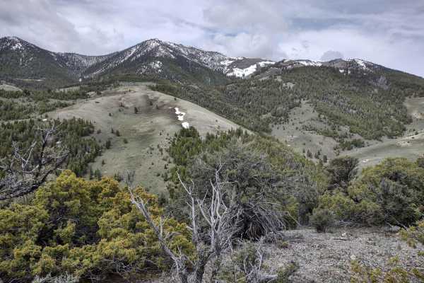
Windy Devil - Horseshoe Canyon
Windy Devil - Horseshoe Canyon is an ideal scenic connector for offroaders of all skill levels looking to explore the historic Mackay Mine Hill area in Idaho's majestic Lost River Mountains. Spanning approximately 1.4 miles, this easy four-wheel-drive trail links the Mackay Mine Hill Tour route with...
Learn more about Windy Devil - Horseshoe Canyon
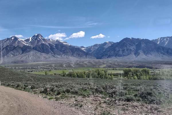
Leslie to Mackay
Leslie, Idaho, is south of Mackay, Idaho, on Highway 93. There is a nice RV park there, Moose Crossing, and it's a great way to get into Mackay without running on pavement. It's about 11 miles but will save your tires. It's simple access to the great trails around Mackay.
Learn more about Leslie to Mackay
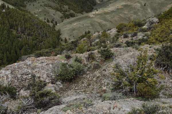
Taylor Canyon
Taylor Canyon is an easy 2.9-mile scenic trail climbing into the Lost River Mountains, reaching a peak elevation of 7,976 feet near Windy Devil. Accessible to most high-clearance 4WD vehicles and OHVs, the route features an average gradient of 7.7 degrees with pitches up to 29 degrees. The trail win...
Learn more about Taylor Canyon
Going to Town
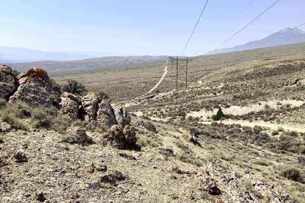
There are many off-highway trails in the White Knob Mountains southwest of the town of Mackay and the Mackay Reservoir area. It is often desirable for off-highway enthusiasts to travel between these two locations. It is about 5 miles between the town of Mackay and the Reservoir on the busy high-sp...
Learn more about Going to Town
Arco Pass to Hurst Canyon
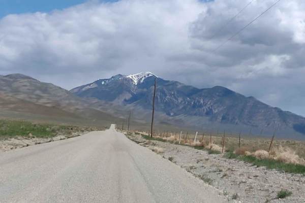
This 30-mile RT track takes you north out of Arco, Idaho, past the abandoned Potter Ranch, up Sheep Camp Road, and through Brier Canyon to Hurst Canyon. You gain 2000 feet in elevation, and if you're here in the early spring, you will find snow on these trails. Wildlife viewing opportunities are ab...
Learn more about Arco Pass to Hurst Canyon
Beginner ATV trails near Lost River, Idaho
Explore ATV-friendly trails near you. These trails are accessible for vehicles up to 50 inches wide, perfect for ATVs and smaller off-road machines.
Hammond Canyon to Timbered Dome
This 10-mile track drops down into Antelope Valley and then goes back up towards Timbered Dome. You gain 1800 feet in elevation. The track is primarily on BLM, and where it crosses private property, access is allowed. Opportunities for backpacking, hiking, wildlife viewing, climbing, sightseeing, an...
Learn more about Hammond Canyon to Timbered Dome
Appendicitis Hill WSA Spur #7
Appendicitis Hill WSA Spur #7 is a short, scenic 1.5-mile round-trip dead-end spur ideal for offroaders seeking a quick escape into the rugged terrain of Idaho's Appendicitis Hill Wilderness Study Area. Branching off from the Hammond Canyon network, this easy dirt trail climbs just over 300 feet, pe...
Learn more about Appendicitis Hill WSA Spur #7
Appendicitis Hill Spur #5
Appendicitis Hill Spur #5 is a scenic and easy-going route perfect for beginners, four-wheel-drive vehicles, and SxSs looking to explore the rugged beauty of the Appendicitis Hill Wilderness Study Area. This unpaved, 1.4-mile spur (3 miles round trip) sits at an elevation of roughly 7,100 to 7,300 f...
Learn more about Appendicitis Hill Spur #5
Hammond Canyon to Spur 7
This 6-mile RT spur goes deeper into the Appendicitis Hill Wilderness Study Area at about 7000 feet. Opportunities for backpacking, hiking, wildlife viewing, climbing, sightseeing, and photography are available here. The area is steep and rugged, so some of these activities are challenging. The view...
Learn more about Hammond Canyon to Spur 7
Beginner UTV/side-by-side trails near Lost River, Idaho
Find UTV and side-by-side trails near you. These trails accommodate vehicles up to 60 inches wide, ideal for UTVs, side-by-sides, and wider off-road rigs.
Hammond Canyon to Timbered Dome
This 10-mile track drops down into Antelope Valley and then goes back up towards Timbered Dome. You gain 1800 feet in elevation. The track is primarily on BLM, and where it crosses private property, access is allowed. Opportunities for backpacking, hiking, wildlife viewing, climbing, sightseeing, an...
Learn more about Hammond Canyon to Timbered Dome
Appendicitis Hill WSA Spur #7
Appendicitis Hill WSA Spur #7 is a short, scenic 1.5-mile round-trip dead-end spur ideal for offroaders seeking a quick escape into the rugged terrain of Idaho's Appendicitis Hill Wilderness Study Area. Branching off from the Hammond Canyon network, this easy dirt trail climbs just over 300 feet, pe...
Learn more about Appendicitis Hill WSA Spur #7
Appendicitis Hill Spur #5
Appendicitis Hill Spur #5 is a scenic and easy-going route perfect for beginners, four-wheel-drive vehicles, and SxSs looking to explore the rugged beauty of the Appendicitis Hill Wilderness Study Area. This unpaved, 1.4-mile spur (3 miles round trip) sits at an elevation of roughly 7,100 to 7,300 f...
Learn more about Appendicitis Hill Spur #5
Hammond Canyon to Spur 7
This 6-mile RT spur goes deeper into the Appendicitis Hill Wilderness Study Area at about 7000 feet. Opportunities for backpacking, hiking, wildlife viewing, climbing, sightseeing, and photography are available here. The area is steep and rugged, so some of these activities are challenging. The view...
Learn more about Hammond Canyon to Spur 7
The onX Offroad Difference
onX Offroad combines trail photos, descriptions, difficulty ratings, width restrictions, seasonality, and more in a user-friendly interface. Available on all devices, with offline access and full compatibility with CarPlay and Android Auto. Discover what you're missing today!
Open Trail Map