Trail Overview
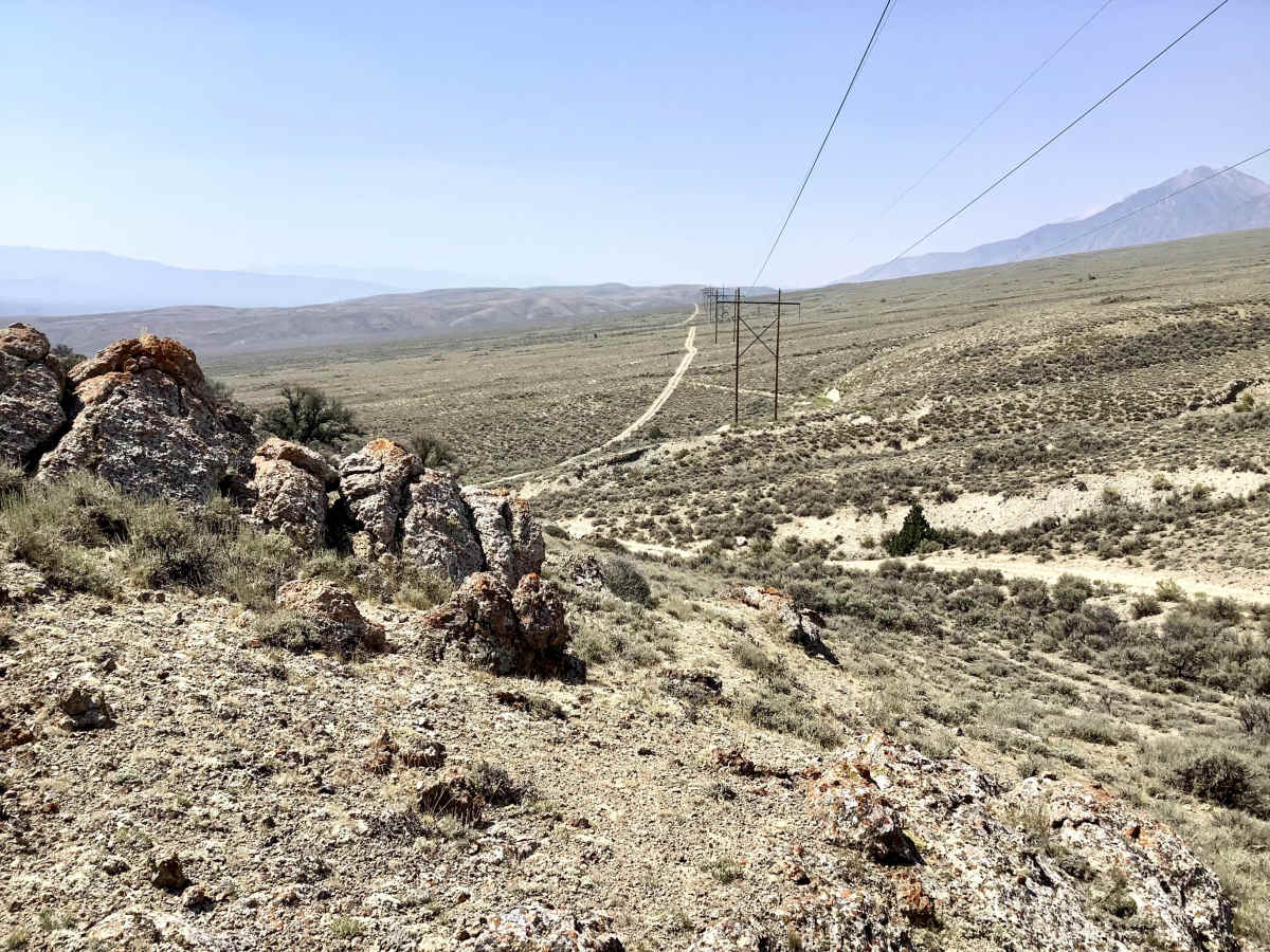
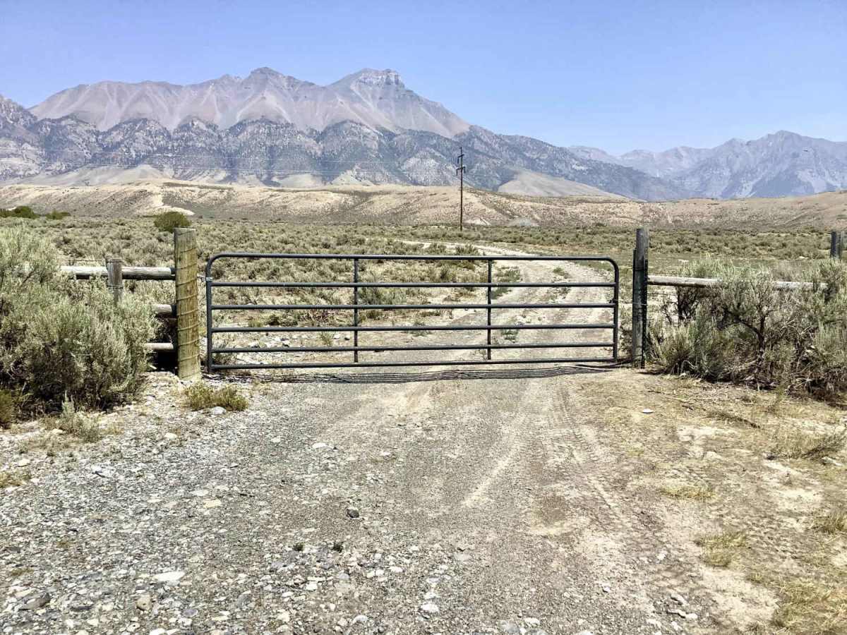
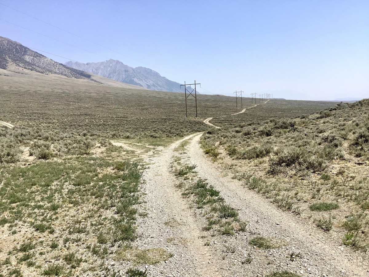
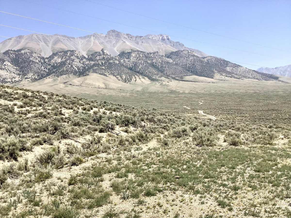
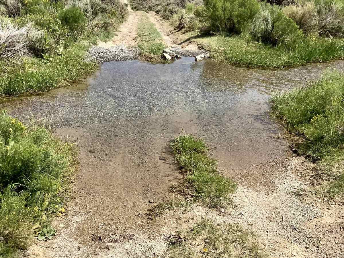
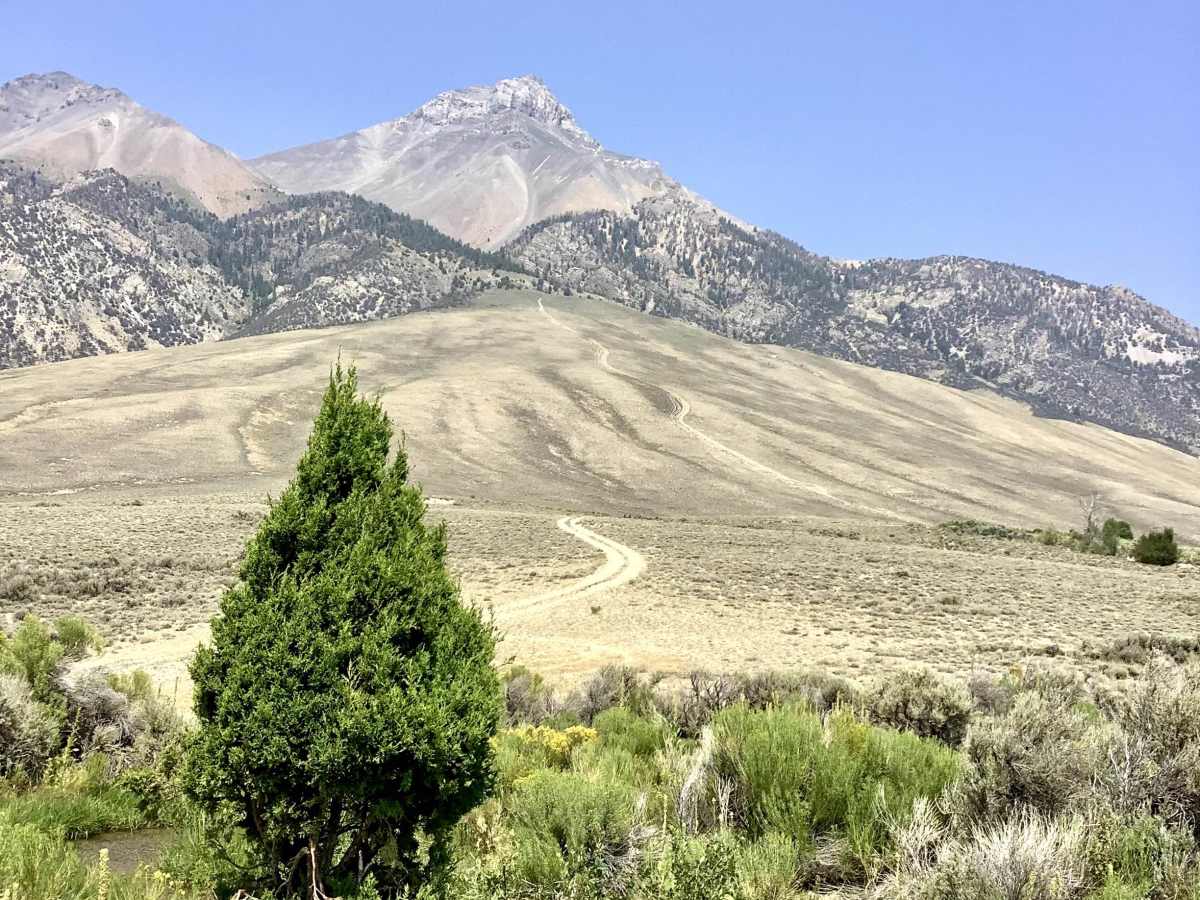
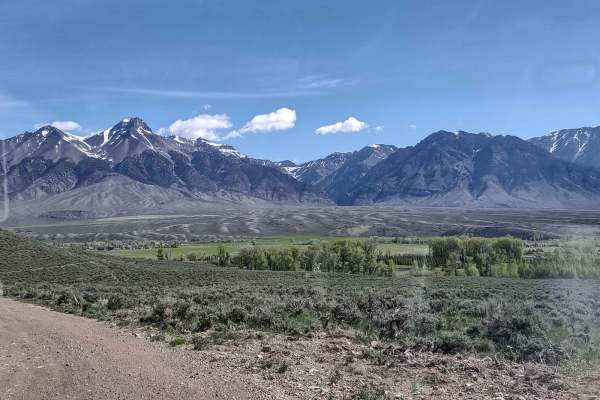
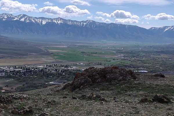
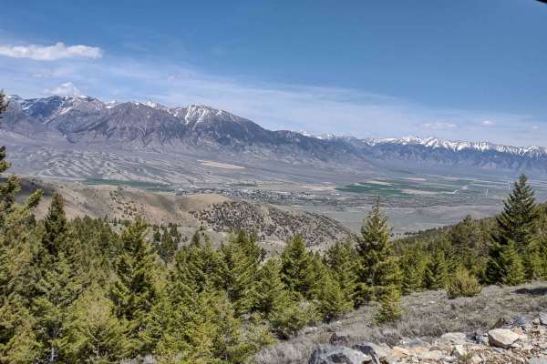
There are many off-highway trails in the White Knob Mountains southwest of the town of Mackay and the Mackay Reservoir area. It is often desirable for off-highway enthusiasts to travel between these two locations. It is about 5 miles between the town of Mackay and the Reservoir on the busy high-speed Hwy 93. Many OHVs are not designed to compete with 70-ton trucks traveling at 75 mph. This route offers an alternative way to travel between those mentioned locations. This route is about 9 miles long and can be covered in about 30 minutes at reasonable speeds. The tread is gravel and dirt, and adequate in width for high-clearance 4WD vehicles. There are numerous dips and arroyos, significant topography, and sharp turns. It is surprising how a terrain that appears bleak and featureless from the highway can blossom and come alive when you are actually in it. Several shallow-water crossings are irrigation ditches, built and maintained by area ranchers and farmers who grow the food we eat. Please use restraint when crossing these ditches in consideration of the hard-working people who maintain them.
History
Much of this route follows a large electrical transmission line. The source of this electrical power originates at the Idaho National Laboratory, who have pioneered the use of nuclear reactors to provide electricity. The town of Arco, just south of Mackay, is known as “Atomic City” because it is the first city in the US to be powered entirely by nuclear reactors.