Trail Overview
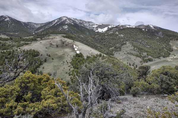
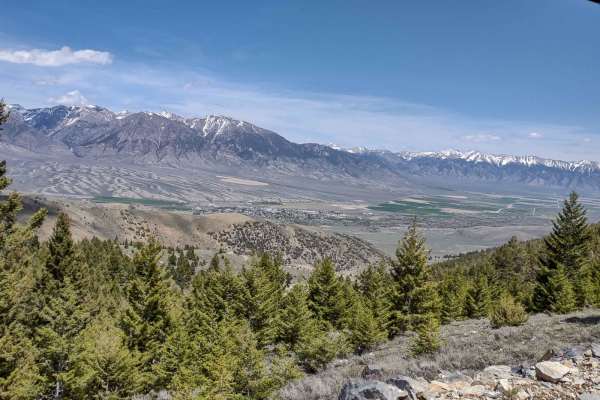
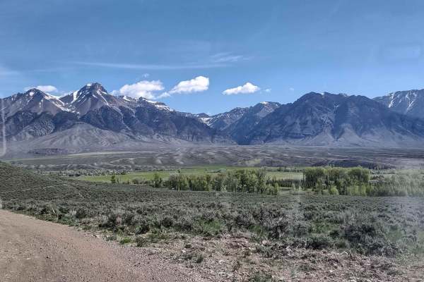
Taylor Canyon is an easy 2.9-mile scenic trail climbing into the Lost River Mountains, reaching a peak elevation of 7,976 feet near Windy Devil. Accessible to most high-clearance 4WD vehicles and OHVs, the route features an average gradient of 7.7 degrees with pitches up to 29 degrees. The trail winds through pine forests and open ridges, offering sweeping vistas of the surrounding peaks, including Mount Borah.
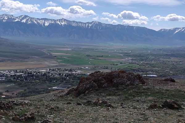
Starting off the Lost River Access Road, the dirt track contains occasional ruts and loose rocks. Early spring travel may encounter lingering snow, mud, and erosion from seasonal runoff. The route overlooks the historic town of Mackay and the ghost town of White Knob, providing scenic views and access to the area's rich mining history.
Difficulty
Spring run-off will cause erosion in some places, and if you are here in early spring, you may encounter snow and/or mud on these trails.
History
Situated in the shadow of Mount Borah, Idaho's highest peak at 12,662 feet, the surrounding area is rich in mining history. The nearby town of Mackay, often called the "Top of Idaho," was established in 1901 and named after John W. Mackay, the Nevada mining engineer who funded copper mines below Mackay Peak near the ghost town of White Knob. Settlement in the valley between the Lost River Range and the White Knob Mountains began in the late 1800s, leading to a booming mining community along the Big Lost River.



 Offroad