Trail Overview
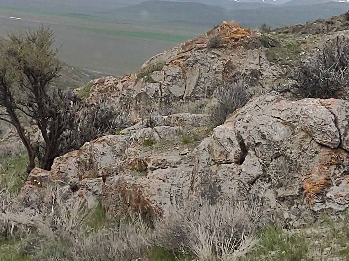
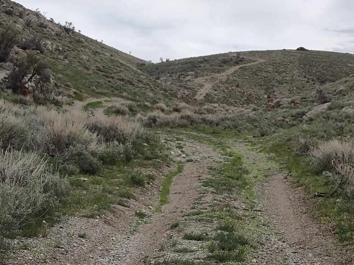
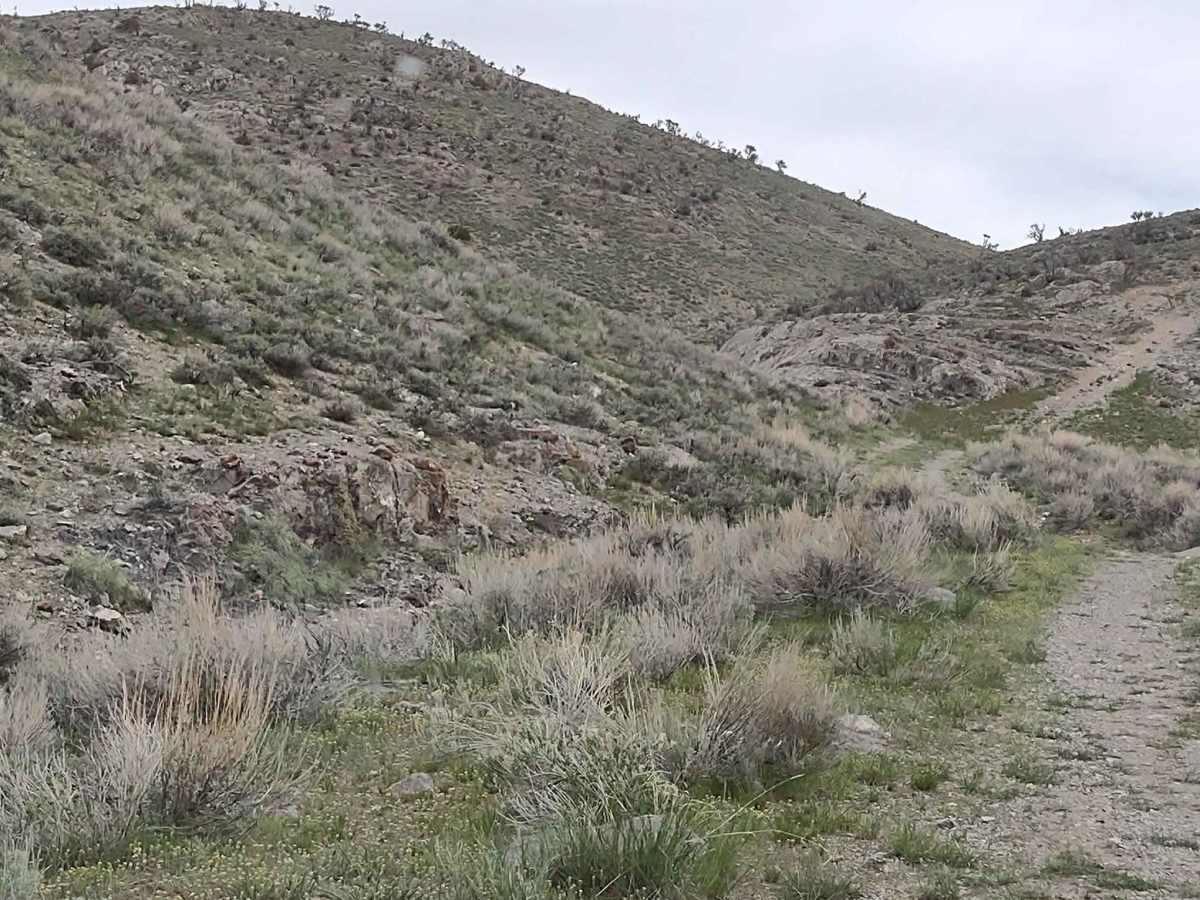
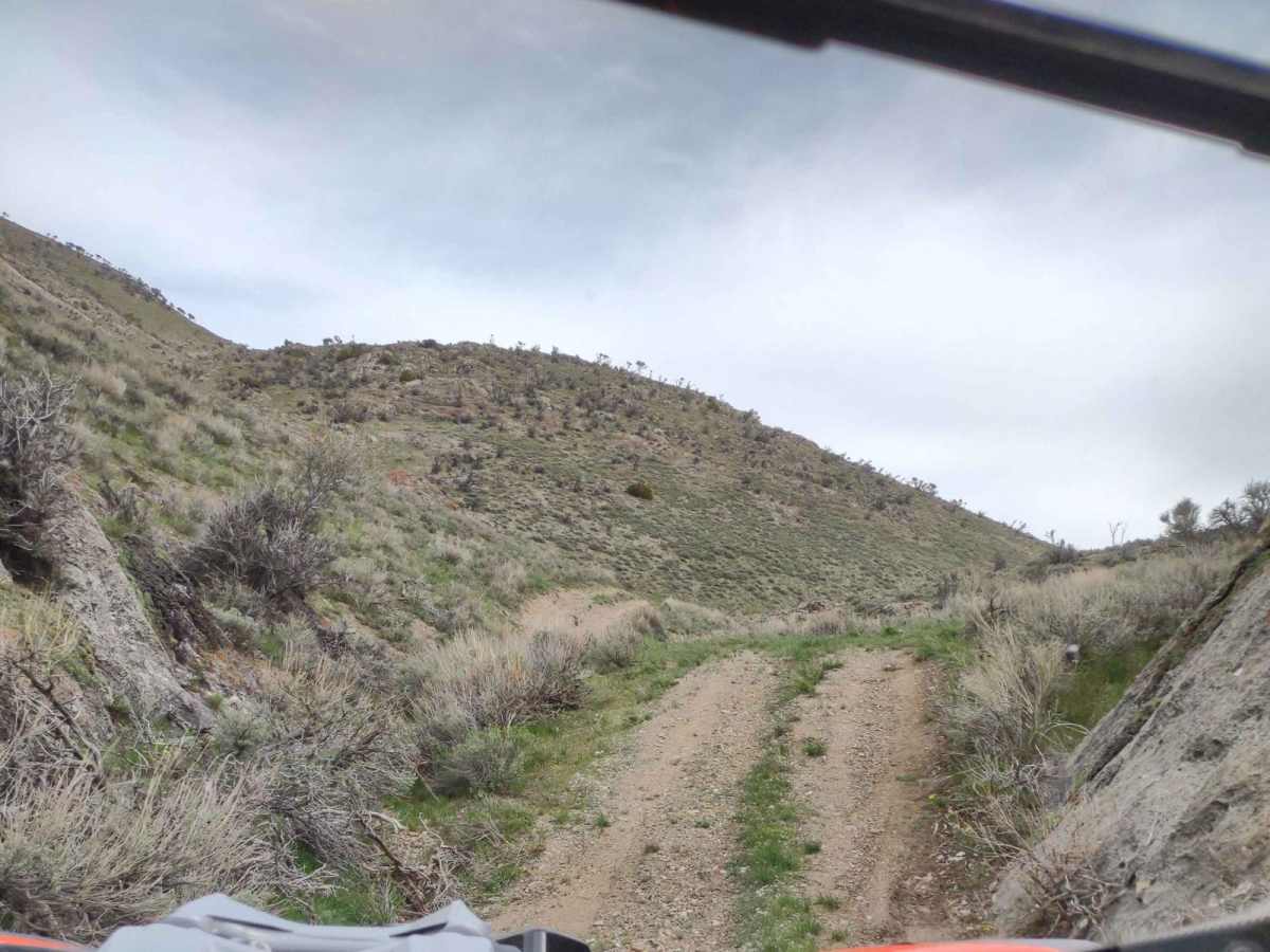
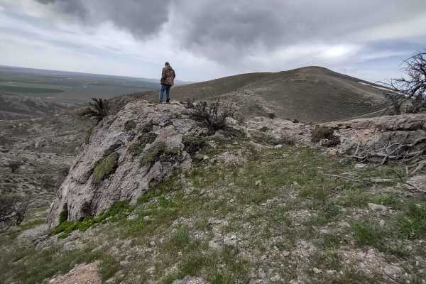
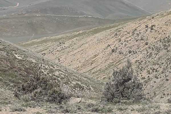
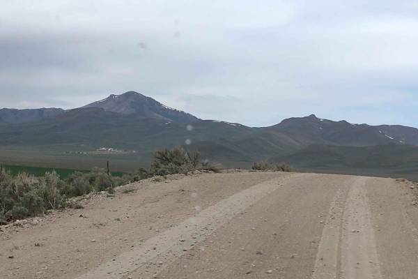
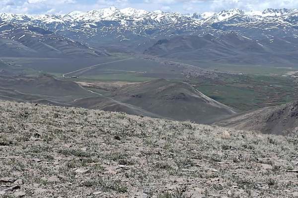
Appendicitis Hill Spur 2 is a short, easy half-mile dirt spur perfect for beginners and scenic explorers seeking quick access to the rugged Appendicitis Hill Wilderness Study Area. This route ascends through the scenic desert landscape of Idaho near Arco, climbing from 5,820 feet to a high point over 6,130 feet. Along the way, travelers are treated to expansive views of the surrounding steep ridges and distant peaks. This trail is ideal for a quick detour, serving as an entry point to the 22,000-acre wilderness area managed by the Bureau of Land Management.
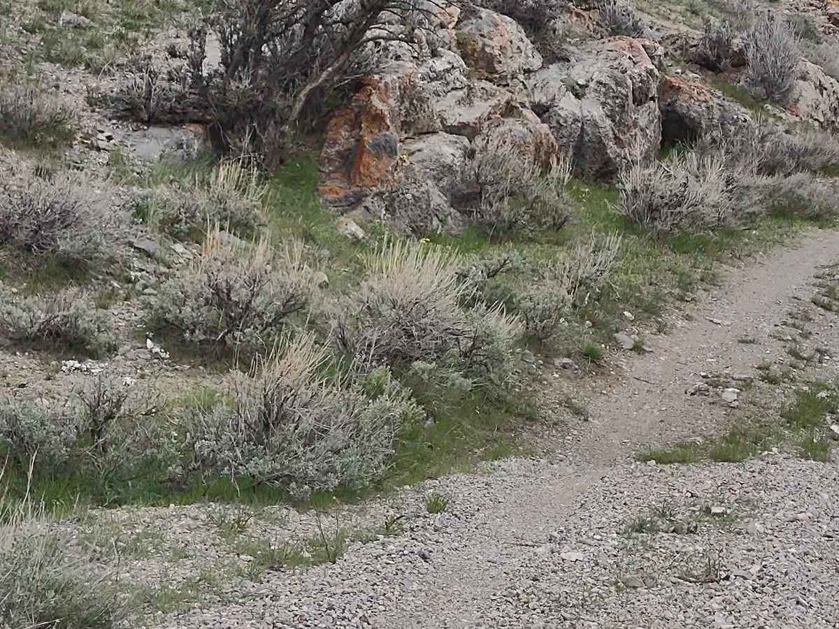
With a technical rating of 2, the trail is generally straightforward but can become slick with mud or snow during early spring or after heavy rainfall. High-clearance vehicles are recommended, especially when wet conditions are present on the unpaved surface. The area provides access to primitive activities such as backpacking, hiking, wildlife viewing, and photography. The trailhead is accessed by taking Sunset Drive west from Arco, continuing onto Aikele Road, turning right onto North 3535 West, and following Hammond Canyon Road to the staging area.
History
Appendicitis Hill was named after T.M. Bannon, a USGS surveyor who suffered an acute attack of appendicitis while surveying the peak.
Access Description
The trail enters the Appendicitis Hill Wilderness Study Area, which is managed by the Bureau of Land Management. Off-road vehicles must stay on designated routes, and visitors should be prepared for changing seasonal conditions, as spring snowmelt and rains can make the dirt track impassable.