Trail Overview
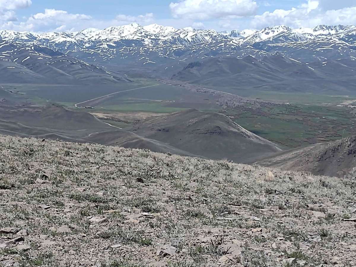
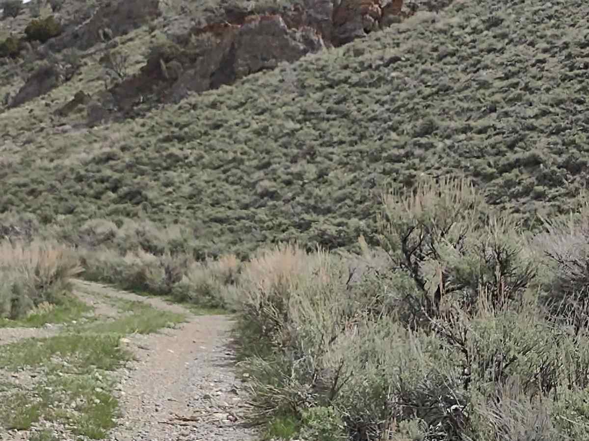
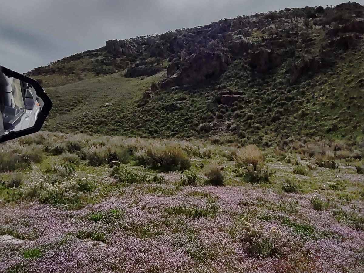
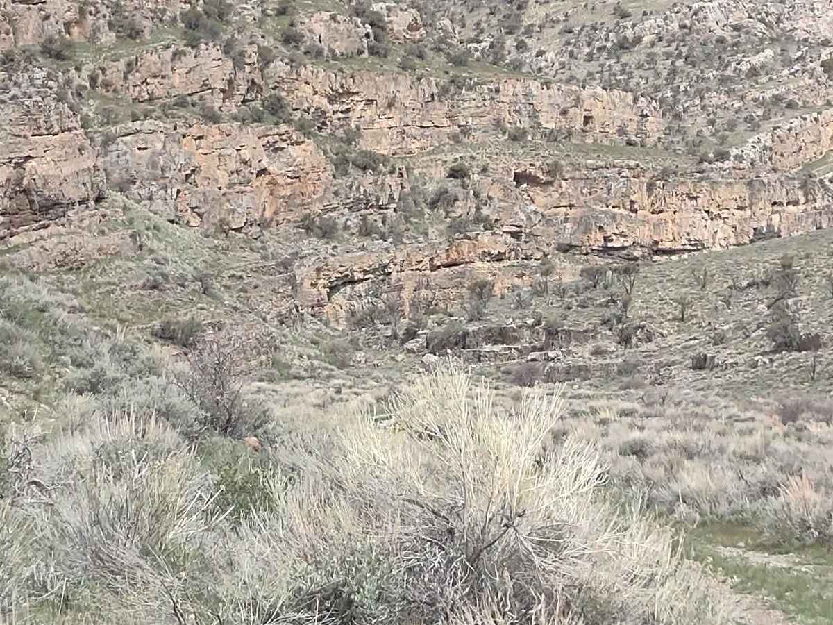
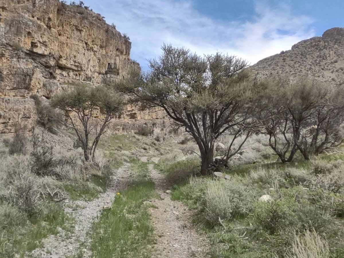
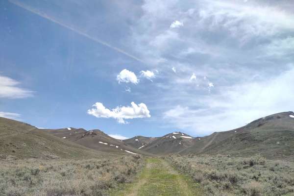
The Appendicitis Hill WSA Loop is an ideal adventure for offroaders seeking a scenic, moderately easy drive through Idaho's rugged backcountry, showcasing spectacular high-ridge views of the surrounding wilderness. This 9.5-mile track climbs through the steep and rugged terrain of the Appendicitis Hill Wilderness Study Area, reaching a maximum elevation of 7,560 feet with a cumulative elevation gain of over 2,100 feet. Primarily a dirt trail, the route is rated as a relatively easy 2 out of 10, making it accessible to most high-clearance, four-wheel-drive vehicles under dry conditions. Navigating this trail provides a gateway to numerous outdoor recreation opportunities, including hiking, backpacking, climbing, and wildlife viewing.
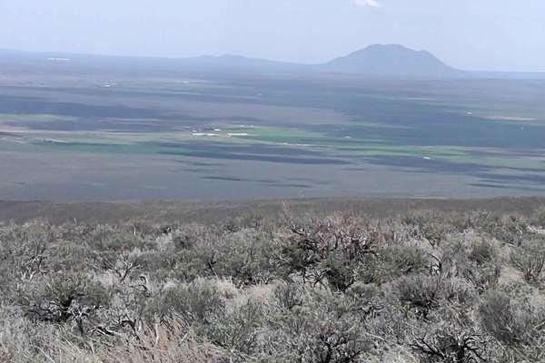
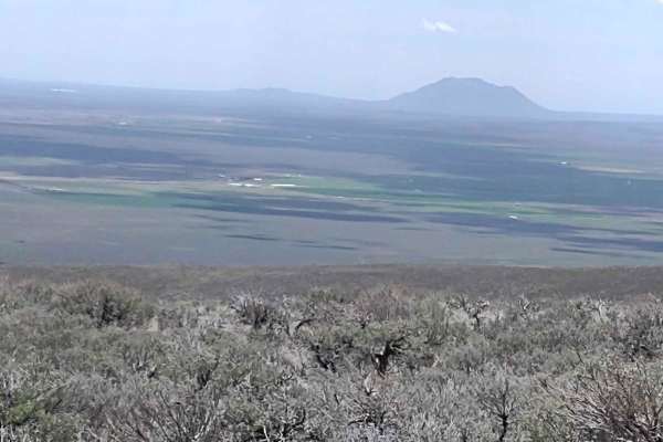
Spring travelers should be prepared for potential snow on the trail through mid-May, which can quickly turn the dirt surface into challenging mud after heavy rains. The loop begins along Hammond Canyon Road, where there is adequate staging room to prepare vehicles before embarking. As the trail winds higher, travelers are treated to expansive, panoramic vistas of the high ridges and Crawford Peak, which stands at 8,500 feet overlooking the scenic Antelope Valley.
Difficulty
Through mid-May you may find snow on the trails, and if it's rained recently, it will be muddy. Otherwise, a pretty easy trail with fantastic views.
History
Appendicitis Hill was named by USGS surveyor T.M. Bannon, who suffered an appendicitis attack while surveying the peak. The Bureau of Land Management (BLM) manages approximately 22,000 acres within the Appendicitis Hill Wilderness Study Area, which also features Crawford Peak rising to 8,500 feet and overlooking Antelope Valley.