Trail Overview
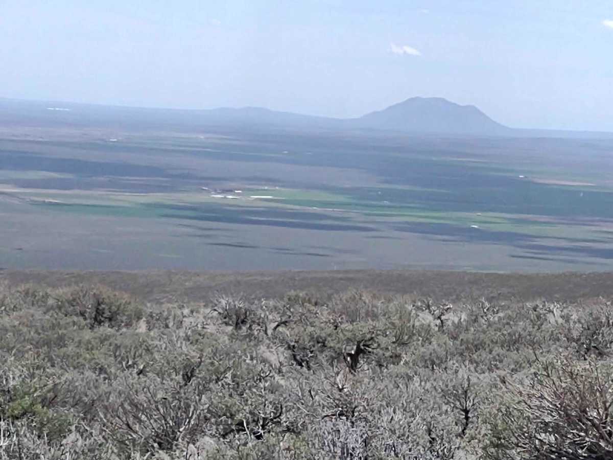
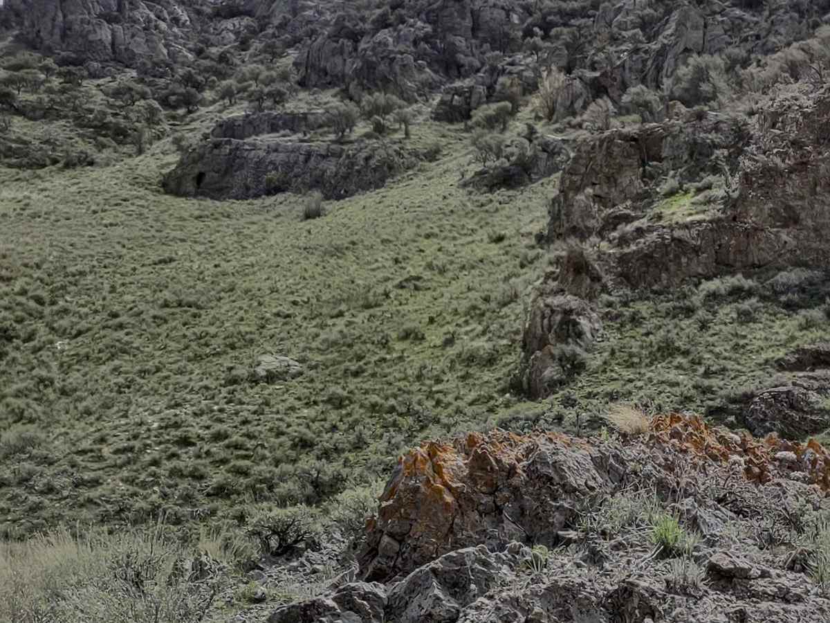
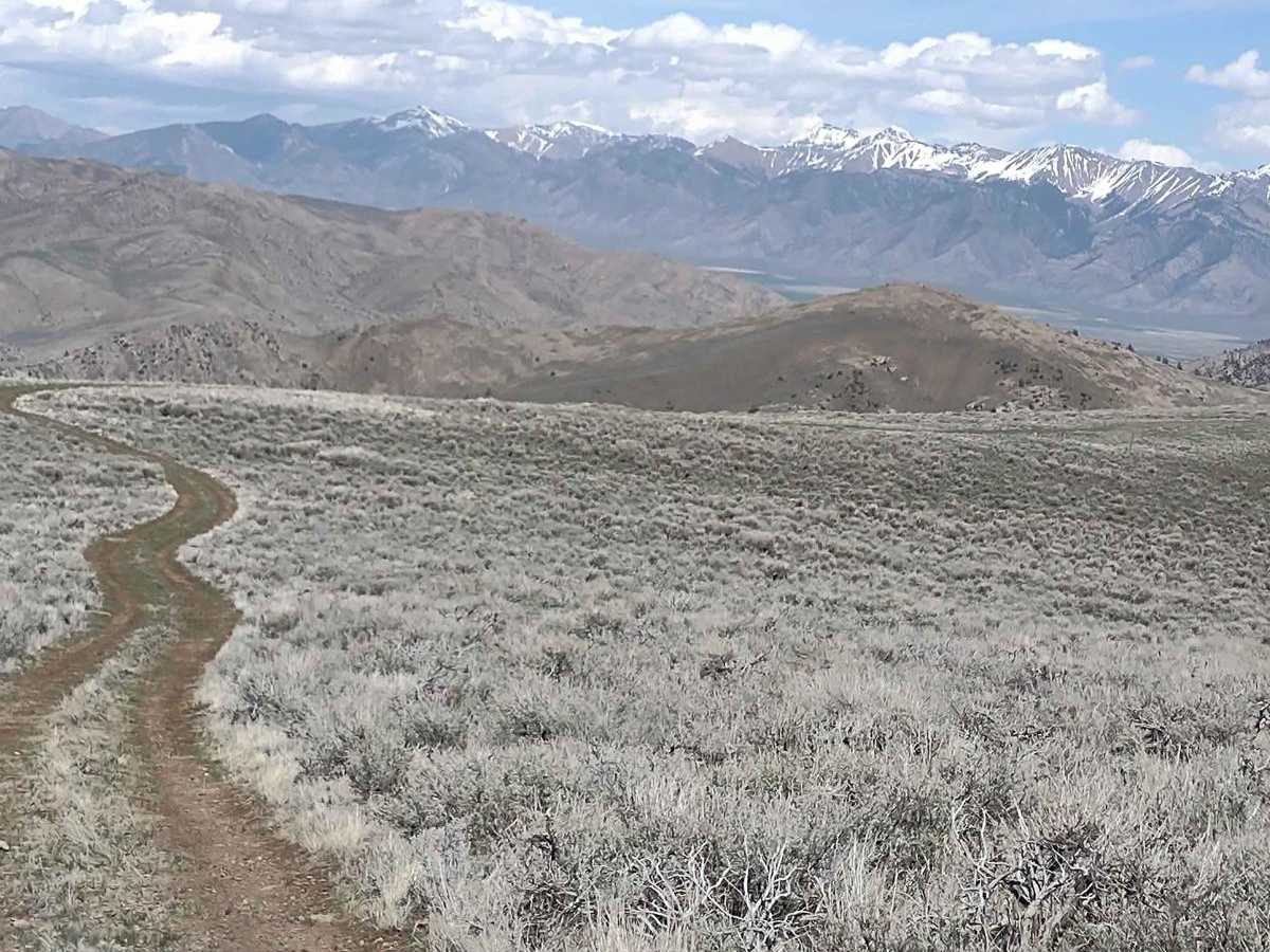
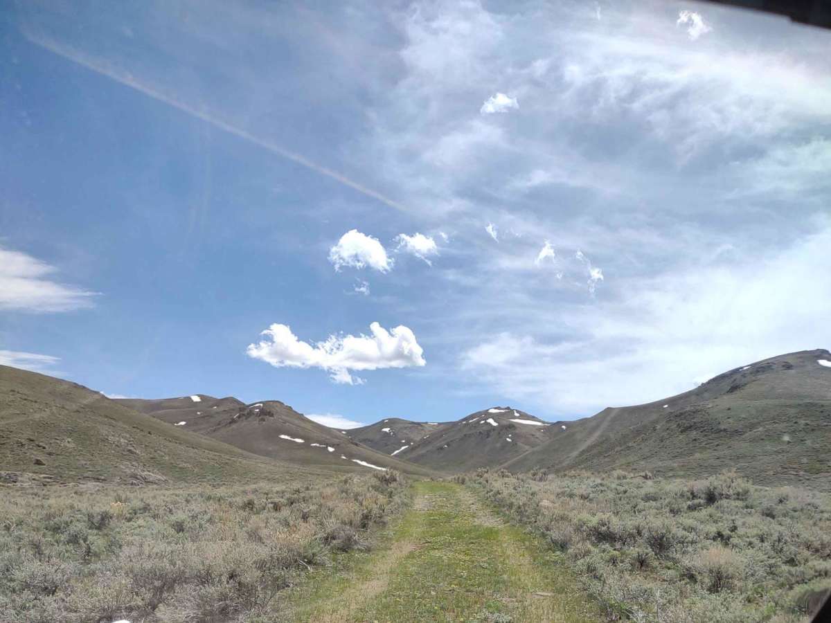
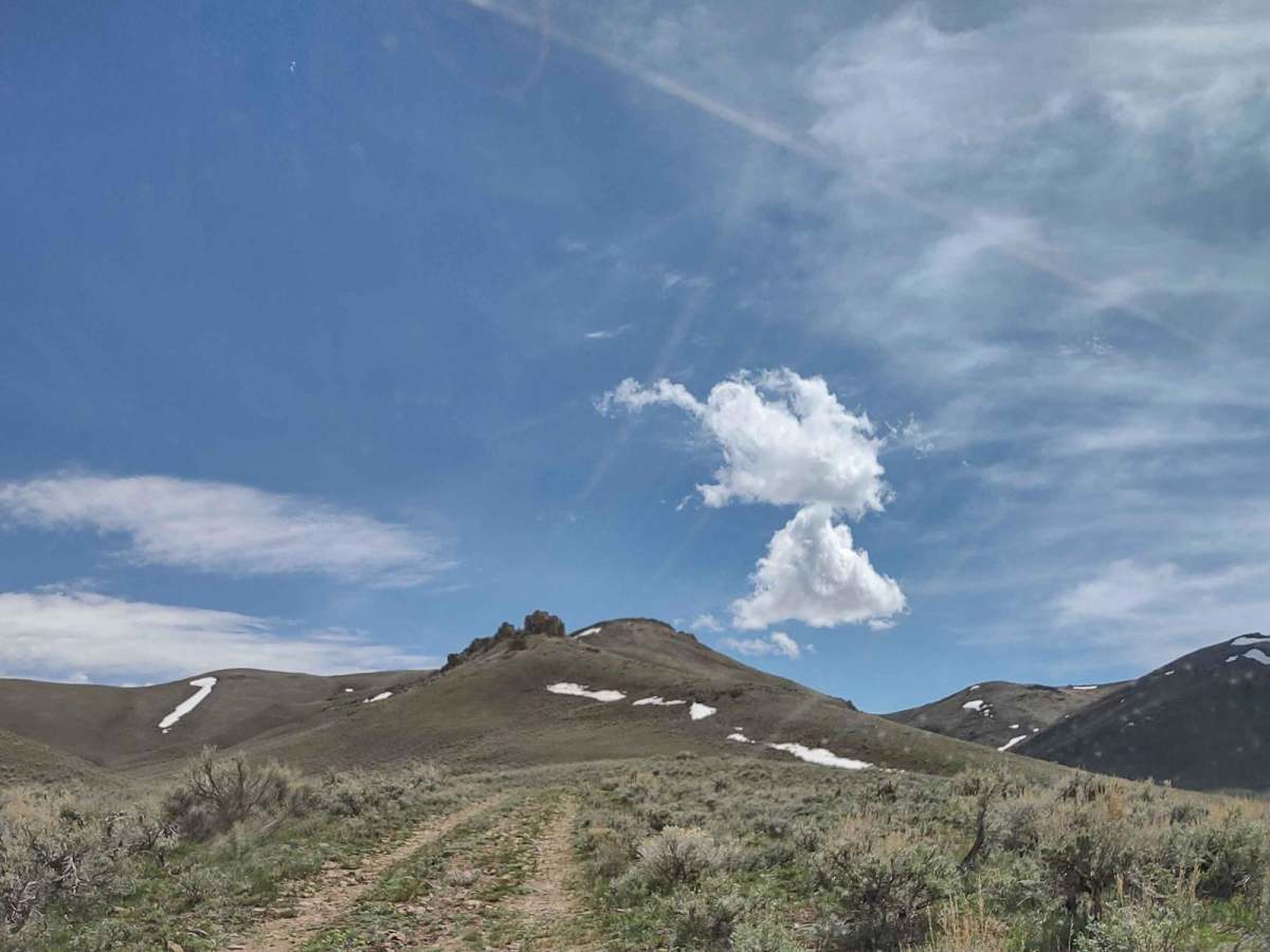
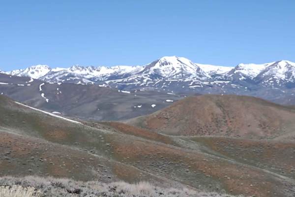
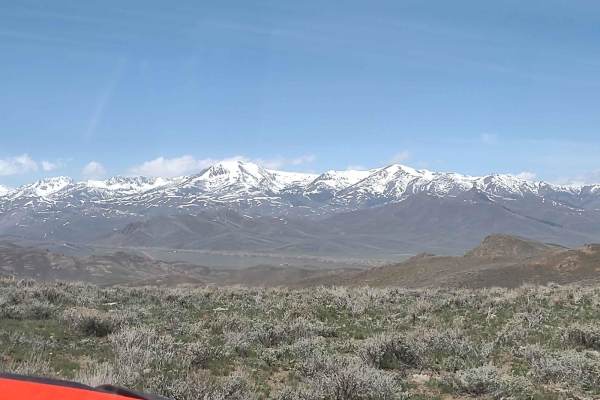
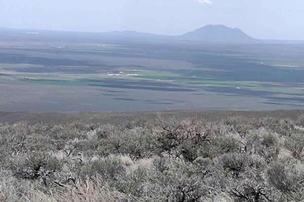
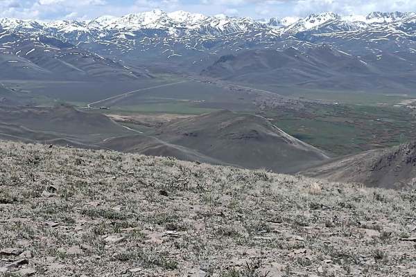
Appendicitis Hill WSA Spur #7 is a short, scenic 1.5-mile round-trip dead-end spur ideal for offroaders seeking a quick escape into the rugged terrain of Idaho's Appendicitis Hill Wilderness Study Area. Branching off from the Hammond Canyon network, this easy dirt trail climbs just over 300 feet, peaking near 6,700 feet in elevation with maximum pitches reaching up to 17 degrees. The route is accessible to most high-clearance four-wheel-drive vehicles and serves as an excellent gateway for outdoor recreation, including hiking, backpacking, and wildlife viewing. The high ridges surrounding the trail's end offer spectacular panoramic views of the steep, rugged peaks and the expansive Idaho landscape.
While the trail is rated as an easy level 2 difficulty under dry conditions, seasonal factors like spring snow melt and recent rainfall can dramatically change the terrain. Visitors should expect snow pack through mid-May and slick, muddy conditions if the trail is wet, meaning travel is best undertaken during late spring through fall when the path is dry. Located in a remote portion of the BLM-managed wilderness study area, this spur requires navigating from Hammond Canyon Road and provides access to challenging opportunities for climbing and photography.
Difficulty
Through mid-May you may find snow on the trails, and if it's rained recently, it will be muddy. Otherwise, a pretty easy trail with fantastic views. If you can see snow on the peaks, the melt and run-off isn't over.
History
Appendicitis Hill got its name from a USGS surveyor, T.M. Bannon, who suffered an attack of appendicitis while surveying the peak. The Bureau of Land Management manages roughly 22,000 acres in the Appendicitis Hill Wilderness Study Area, which also includes the 8,500-foot Crawford Peak overlooking Antelope Valley.