
Beginner Off-Road Trails
Near Liberty, South Carolina
Explore All Beginner Trails Near Liberty, South Carolina
Beginner Off-Road Trails Near Liberty, South Carolina
Discover the best beginner-friendly off-road trails near you. These easier, lower-rated trails are a great place to start — browse trail maps, check difficulty ratings, and find your next adventure.
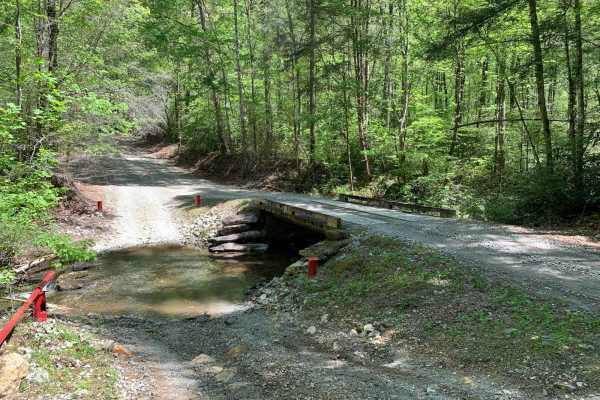
Shooting Tree Ridge Road
Shooting Tree Ridge is a gravel forest road located within the Jocassee Gorges of upstate South Carolina, just east of Lake Jocassee in Pickens County. The 8.5-mile trail runs from Cleo Chapman Highway in Eastatoee, north to Horse Pasture Road. There's an area within the gate for parking, and you ca...
Learn more about Shooting Tree Ridge Road
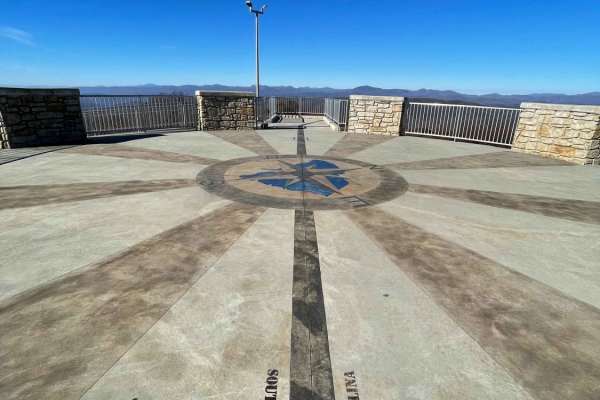
Sassafras - SCAR Alternate
Sassafras - SCAR Alternate is an easy, scenic out-and-back trail designed for any offroad enthusiast looking to stand atop South Carolina's highest point of elevation. This 8.7-mile route serves as a fantastic spur from the main South Carolina Adventure Route (SCAR) loop, climbing from an elevation ...
Learn more about Sassafras - SCAR Alternate
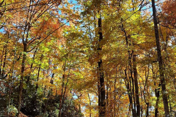
Jumping Off - SCAR Alternate
West of Table Rock you will find this scenic out-and-back diversion. It's a nice addition to add some more challenging riding or driving to the main South Carolina Adventure Route loop. Along its path, you will encounter steep grades which are often rutted and loose.
About the SCAR: The South Carol...
Learn more about Jumping Off - SCAR Alternate
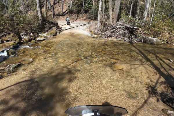
Dawkins Flat Road
Dawkins Flat Road is a 3-mile-long gravel road, the road cutting through the Jocassee Gorges and Laurel Fork Heritage Wildlife Management areas. The road is generally open to motorized vehicles from September 15 through January 2 and March 20th through the end of April. The road is open to plated ve...
Learn more about Dawkins Flat Road
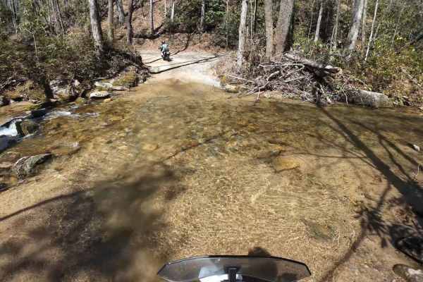
Jackie's Ridge Road
Canebrake Road is a 2.1-mile-long gravel road the road cutting through the Jocassee Gorges and Laurel Fork Heritage Wildlife Management areas. The road is generally open to motorized vehicles from September 15 through January 2 and from March 20th through the end of April. The road is open to plated...
Learn more about Jackie's Ridge Road

Canebrake Road
Canebrake Road is a 5-mile-long gravel road that cuts through the Jocassee Gorges and Laurel Fork Heritage Wildlife Management areas. It is generally open to motorized vehicles from September 15 through January 2 and March 20th through the end of April. The road is open to plated vehicles as well as...
Learn more about Canebrake Road
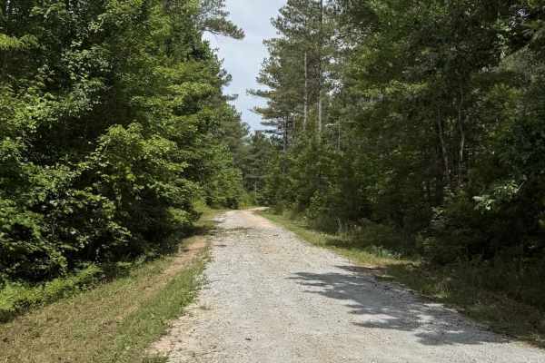
Hill Cove - FS 705
Hill Cove is a short, well-maintained gravel single-track road that winds through Sumter National Forest. This is an easy 2/10 trail with some mild 6-8" ruts due to runoff. There is a large turnaround at the end and a trail that leads to Tamassee Knob Trail. There is limited cell service, so plan ac...
Learn more about Hill Cove - FS 705
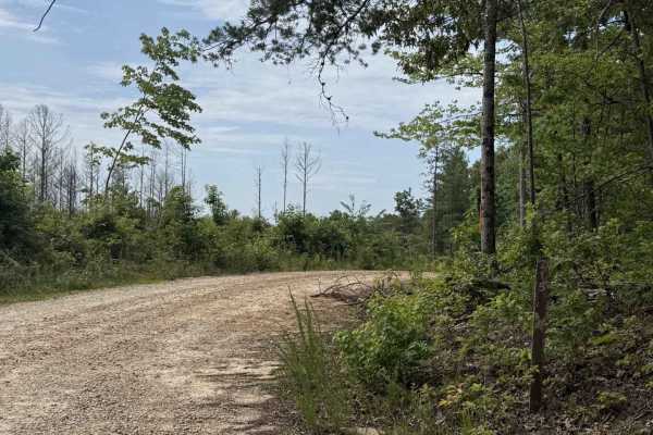
Horse Bone - FS 715
Horse Bone - FS 715 is a short out-and-back trail that winds through the Sumter National Forest. The trail is single-width and well-maintained. It starts in a dense part of the forest, then opens onto a clear-cut offering 360-degree views of nearby mountains. There is limited cell service (AT&T). Th...
Learn more about Horse Bone - FS 715
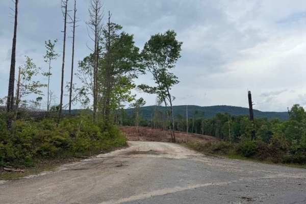
Norton Field - FS 715A
Norton Field - FS 715A is a well-maintained gravel road that winds through the Sumter National Forest. It starts in a clear-cut and then leads into a dense canopy. Along the trail, there is a large parking area and an open field where you can explore Tamassee Creek. At the end of the trail, there is...
Learn more about Norton Field - FS 715A
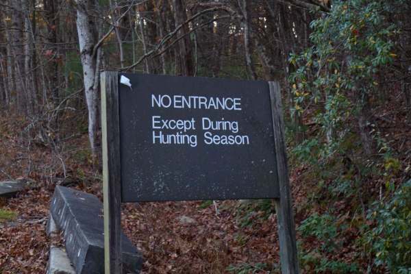
Musterground Road - Part 1
This road is seasonally open during the fall and offers unmatched views of the Blue Ridge Mountains. The first part of this route is very easy to drive and crosses countless bridges over small mountain streams, eventually concluding at a large open campsite along the river. Along the route there is ...
Learn more about Musterground Road - Part 1
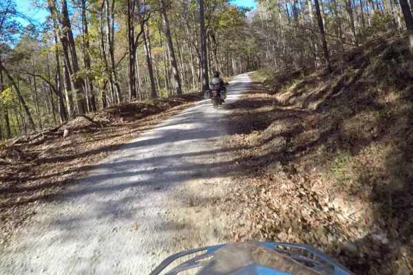
South Carolina Adventure Route Segment 3
Segment 3 is the "upstate" section of the SCAR, and is bookended by the towns of Westminster and Gaffney. This section transits the Blue Ridge Mountains and consists of some fabulous gravel roads with a few notable climbs and descents. It is interspersed with some beautiful paved sections--including...
Learn more about South Carolina Adventure Route Segment 3
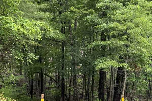
Big Bend - FS 709
Big Bend is a short but beautiful trail that takes you through the dense Sumter National Forest. It provides multiple access points to the Big Bend trail system, which crosses over Crane Creek and leads to the wild and scenic Chattooga River, offering world-class trout fishing and endless hiking. Th...
Learn more about Big Bend - FS 709
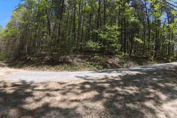
FS 744I
FS 744I is a simple out-and-back trail located within the scenic stretches of Sumter National Forest just beyond the Georgia/South Carolina line. The route follows an easy, mostly single-lane gravel and dirt road with no significant obstacles, making it suitable for nearly any vehicle, including sta...
Learn more about FS 744I
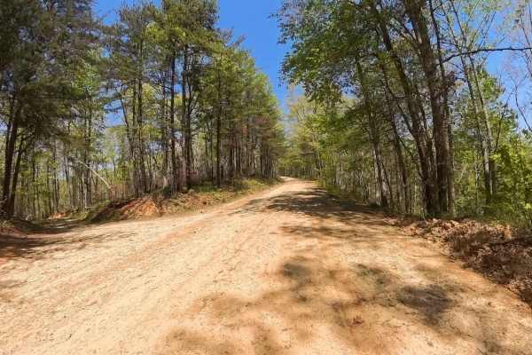
Forest Road 744C
Forest Service Road 744C is a simple out-and-back trail located within the scenic sections of Sumter National Forest just beyond the Georgia/South Carolina line. The route follows an easy, mostly single-lane gravel road with no major obstacles, making it suitable for nearly any vehicle, including st...
Learn more about Forest Road 744C
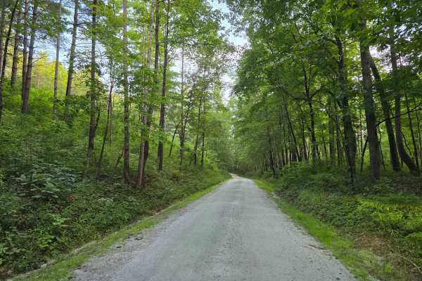
Cedar Creek Rifle Range - FS 726
Cedar Creek Rifle Range - FS 738A turns off Cassidy Bridge Road at the rifle range sign and runs into the range itself. This 1/10 trail is graded gravel and easy the whole way, built to carry regular passenger traffic into the site. The range at the end has five shooting tables, three of them under ...
Learn more about Cedar Creek Rifle Range - FS 726
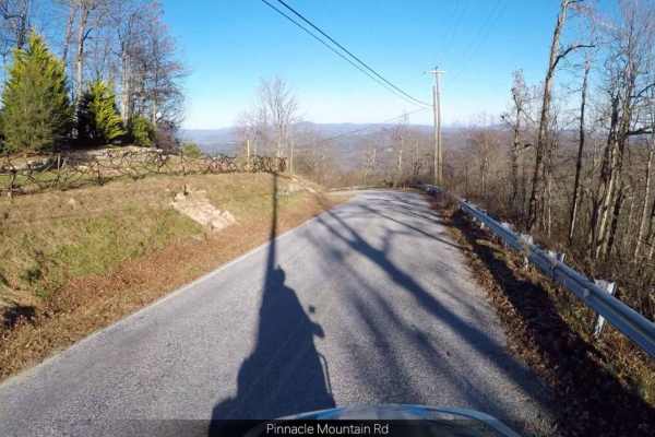
Pinnacle - SCAR Alternate
Pinnacle - SCAR Alternate offers dual-sport riders and four-wheel-drive enthusiasts a scenic detour off the main South Carolina Adventure Route, showcasing stunning ridgetop views along the boundary of DuPont State Recreational Forest. Spanning approximately 20.4 miles, this trail climbs from a mini...
Learn more about Pinnacle - SCAR Alternate
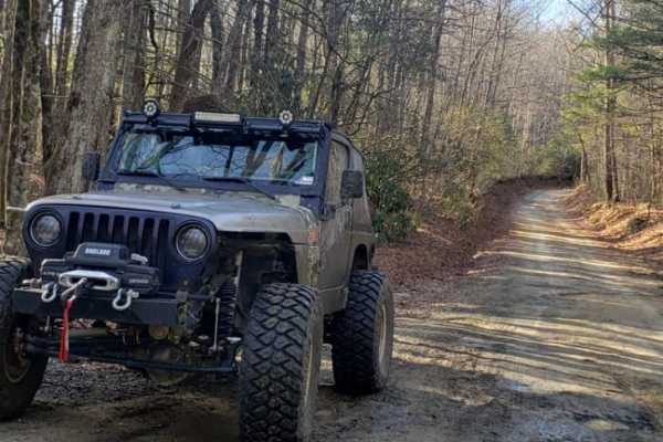
Pinicale Mt Rd
Pinnacle Mountain Road offers an easy and scenic driving experience ideal for beginners, families, and stock high-clearance vehicles looking to explore the beautiful woodlands along the North Carolina and South Carolina border. Running through a mix of public and wildlife conservation lands, this ro...
Learn more about Pinicale Mt Rd
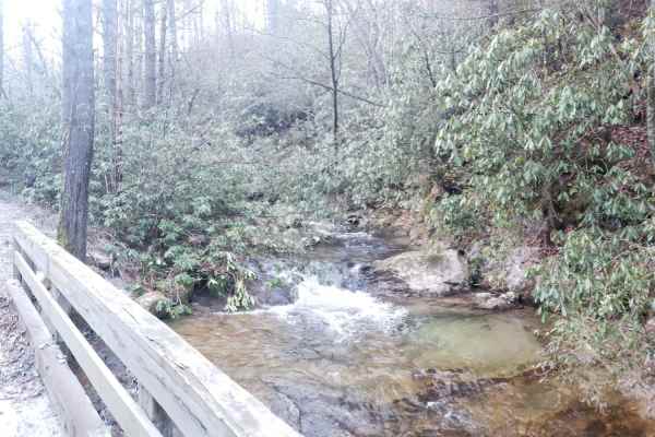
Green River Road
This is a short dirt and gravel trail that can be combined with Pinnacle Mountain Road to make a great loop. It runs along a small stream with great views of the stream and a small waterfall. It runs through a wooded area from a river valley up to a ridge. It's an easy trail with only small rocks an...
Learn more about Green River Road
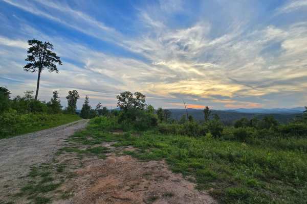
Chambers Branch - FS 736
Chambers Branch Road, Forest Service Road 736, runs out of shaded hardwood and works its way onto the ridge through stands of pine. This 1/10 trail is graded gravel the whole way, with a few recently freshened sections and nothing in the way of obstacles. Pull-offs are scattered along the route, inc...
Learn more about Chambers Branch - FS 736
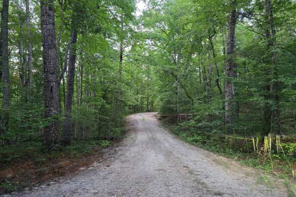
Chambers Branch A - FS 736A
Chambers Branch A branches off Chambers Branch Road and runs back through mixed hardwood to a wide grassy turnaround at the end. This 1/10 trail is graded gravel and packed dirt with nothing in the way of obstacles, though a few leaning trees hang out over the roadway and cut logs are stacked along ...
Learn more about Chambers Branch A - FS 736A
Beginner ATV trails near Liberty, South Carolina
Explore ATV-friendly trails near you. These trails are accessible for vehicles up to 50 inches wide, perfect for ATVs and smaller off-road machines.
Shooting Tree Ridge Road
Shooting Tree Ridge is a gravel forest road located within the Jocassee Gorges of upstate South Carolina, just east of Lake Jocassee in Pickens County. The 8.5-mile trail runs from Cleo Chapman Highway in Eastatoee, north to Horse Pasture Road. There's an area within the gate for parking, and you ca...
Learn more about Shooting Tree Ridge Road
Jumping Off - SCAR Alternate
West of Table Rock you will find this scenic out-and-back diversion. It's a nice addition to add some more challenging riding or driving to the main South Carolina Adventure Route loop. Along its path, you will encounter steep grades which are often rutted and loose.
About the SCAR: The South Carol...
Learn more about Jumping Off - SCAR Alternate
Horse Bone - FS 715
Horse Bone - FS 715 is a short out-and-back trail that winds through the Sumter National Forest. The trail is single-width and well-maintained. It starts in a dense part of the forest, then opens onto a clear-cut offering 360-degree views of nearby mountains. There is limited cell service (AT&T). Th...
Learn more about Horse Bone - FS 715
Norton Field - FS 715A
Norton Field - FS 715A is a well-maintained gravel road that winds through the Sumter National Forest. It starts in a clear-cut and then leads into a dense canopy. Along the trail, there is a large parking area and an open field where you can explore Tamassee Creek. At the end of the trail, there is...
Learn more about Norton Field - FS 715A
Beginner UTV/side-by-side trails near Liberty, South Carolina
Find UTV and side-by-side trails near you. These trails accommodate vehicles up to 60 inches wide, ideal for UTVs, side-by-sides, and wider off-road rigs.
Shooting Tree Ridge Road
Shooting Tree Ridge is a gravel forest road located within the Jocassee Gorges of upstate South Carolina, just east of Lake Jocassee in Pickens County. The 8.5-mile trail runs from Cleo Chapman Highway in Eastatoee, north to Horse Pasture Road. There's an area within the gate for parking, and you ca...
Learn more about Shooting Tree Ridge Road
Jumping Off - SCAR Alternate
West of Table Rock you will find this scenic out-and-back diversion. It's a nice addition to add some more challenging riding or driving to the main South Carolina Adventure Route loop. Along its path, you will encounter steep grades which are often rutted and loose.
About the SCAR: The South Carol...
Learn more about Jumping Off - SCAR Alternate
Dawkins Flat Road
Dawkins Flat Road is a 3-mile-long gravel road, the road cutting through the Jocassee Gorges and Laurel Fork Heritage Wildlife Management areas. The road is generally open to motorized vehicles from September 15 through January 2 and March 20th through the end of April. The road is open to plated ve...
Learn more about Dawkins Flat Road
Jackie's Ridge Road
Canebrake Road is a 2.1-mile-long gravel road the road cutting through the Jocassee Gorges and Laurel Fork Heritage Wildlife Management areas. The road is generally open to motorized vehicles from September 15 through January 2 and from March 20th through the end of April. The road is open to plated...
Learn more about Jackie's Ridge Road
The onX Offroad Difference
onX Offroad combines trail photos, descriptions, difficulty ratings, width restrictions, seasonality, and more in a user-friendly interface. Available on all devices, with offline access and full compatibility with CarPlay and Android Auto. Discover what you're missing today!
Open Trail Map