
Beginner Off-Road Trails
Near Lexington, Washington
Explore All Beginner Trails Near Lexington, Washington
Beginner Off-Road Trails Near Lexington, Washington
Discover the best beginner-friendly off-road trails near you. These easier, lower-rated trails are a great place to start — browse trail maps, check difficulty ratings, and find your next adventure.
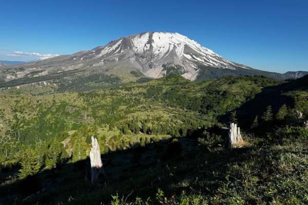
4250
This trail is the primary east-west route in this section of public land controlled by the Washington State Department of Natural Resources and leads you to within 2 miles of the base of Mount Saint Helens, with stunning views of the debris flow area and Castle Lake. Near the east end of the route, ...
Learn more about 4250

Signal Peak
A quick 20-minute scenic, well-maintained side route off the popular 4250 Mount Saint Helens route. The communication tower at the summit may be the end, but the real payoff is the views just before the final winding climb, offering massive, unobstructed views of Mount Saint Helens, Mount Adams, and...
Learn more about Signal Peak

Shaffer Road
Shaffer Road offers a scenic off-road route, providing an alternative to Apiary Road for travelers between Rainier and Vernonia, especially during its closures due to a washout at milepost 11. This route winds along the upper Clatskanie River through private timberlands, offering glimpses of serene ...
Learn more about Shaffer Road
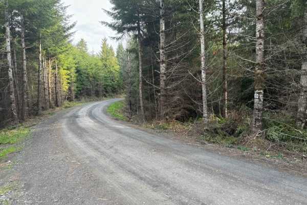
Karth Road
This forest road connects Apiary Road with Pittsburg Road and is relatively level. It is, however, a typical logging road with potholes, washboard, and the occasional windfall tree in the way. This route begins on Apiary Road adjacent to the Columbia County Park Camp Wilkerson. There's nothing extra...
Learn more about Karth Road
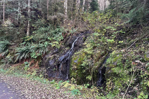
Powder Horn Spur Road
The Powder Horn Spur is an easy, out-and-back gravel road branching off the main Powder Horn route. Suitable for most vehicles, the road features minimal elevation change and generally maintains a single-lane width, with several widened pull-outs available for parking or passing.
As you drive, the ...
Learn more about Powder Horn Spur Road
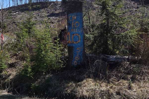
5100
This trail is primarily gravel and single vehicle width, with many areas along the way to pass oncoming traffic (if you see any). It is easily accessible and traversable by most vehicles. You may have to dodge a fallen rock or pothole here and there, but this will not distract from the beauty of the...
Learn more about 5100

PH-4000
This is an easy trail that is mainly dirt with gravel. The trail has a few washouts and ruts but nothing that is overly challenging. There is one area of the trail where low-clearance vehicles might scrape their underbody. The trail leads to Fredrickson Road which can be used as a connecting point f...
Learn more about PH-4000

Pittsburg Road
This timberland traverse route offers a journey through lush landscapes of private timber company land and access to the pristine Tillamook State Forest. Adventurers are immediately greeted with a canopy of towering conifers and the soothing sounds of nature. The trail gradually ascends, providing g...
Learn more about Pittsburg Road
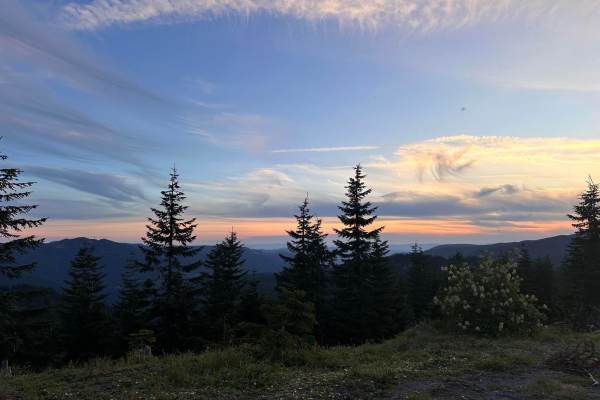
2730
This trail is a branch off of 4250 that connects to 6500 which eventually connects back to 4250, all of which are managed by the Washington State Department of Natural Resources. The trail itself is primarily a grated gravel road and has many offshoots to explore. The trail travels through dense for...
Learn more about 2730
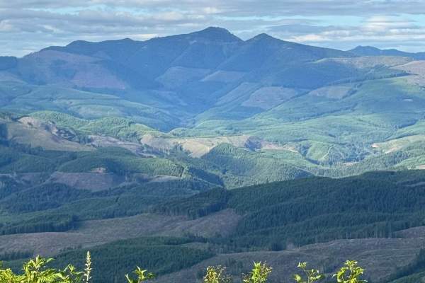
PH-3000
This is an easy trail that is mainly dirt with gravel. The trail has a few washouts and ruts. The trail is an out-and-back that offers some gorgeous views of Lake Merwin. There are a few areas that have overgrowth on the trail but nothing that will cause pin striping. You might encounter a few downe...
Learn more about PH-3000
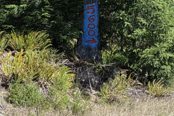
5600
This is a narrow gravel road that is, at the west end, either the start or the finish of the 5600, depending on which way you run it. This route connects the 5100 (west) to the "5600 to 5605" trail (east). Most vehicles can travel this route. Along the way, there are many drainages that in springtim...
Learn more about 5600
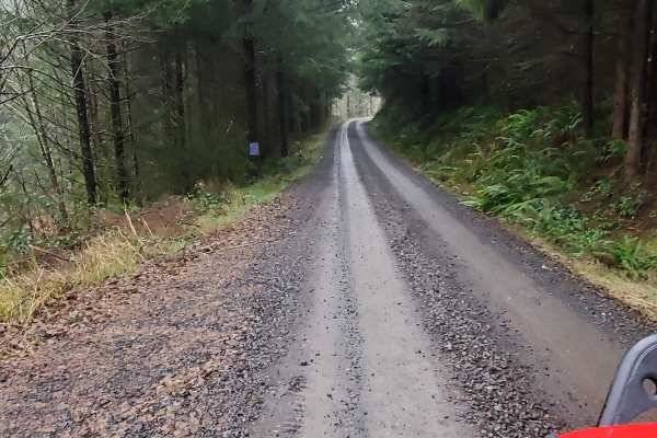
Powder Horn
Easy scenic route through the woods that can be done in a 2WD with good clearance. There are wonderful views and plenty of side roads to check out and explore. There are also a few dispersed camping spots along the way. Be careful at blind corners, this road sees a decent amount of traffic and loggi...
Learn more about Powder Horn
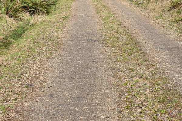
5625
This road is an out-and-back, but worth exploring as there are great views of the S. Fork of the Toutle River Valley. Mostly a gravel road that is narrow in spots and winds in and out of the trees into large clearings that provide the views. Some sections are cut into steep hillside with no shoulde...
Learn more about 5625
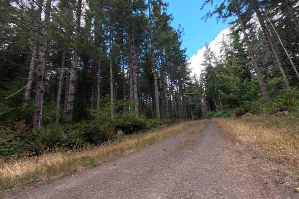
W-514
Located in a heavily timbered section of the National Forest, W-514 is a highly accessible, out-and-back dirt spur utilized primarily by recreational explorers and local wildlife. The road carves a straightforward, single-track path through a deep, shady corridor of densely packed, mature evergreen ...
Learn more about W-514
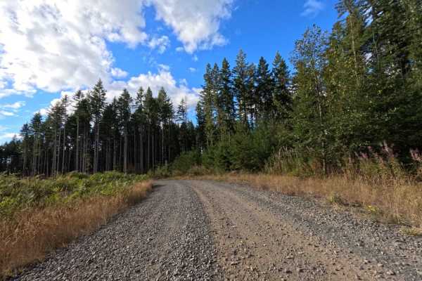
W-512 West
Branching out from the W-510 connector, W-512 West operates as a prominent transit road cutting through the active forestry lands of Washington. The route bounces between contrasting environments, plunging into dense, dark pockets of mature evergreen timber before opening up entirely into massive, r...
Learn more about W-512 West
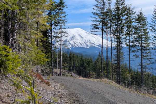
5631
Branching off Forest Road 4250, this straightforward spur winds down the hillside through Washington State Department of Natural Resources land. The drive alternates between sections of shaded forest and open ridgelines that provide a clear, rewarding look at the South Fork Toutle River valley and M...
Learn more about 5631

5600 to 5605
This trail runs north and south off of 4250, in the public land operated by the Washington State Department of Natural Resources, and meanders through clear-cut areas and dense forest. It is primarily a grated road, but has some steeper inclines and declines, up to 12 degrees. You can use this trail...
Learn more about 5600 to 5605
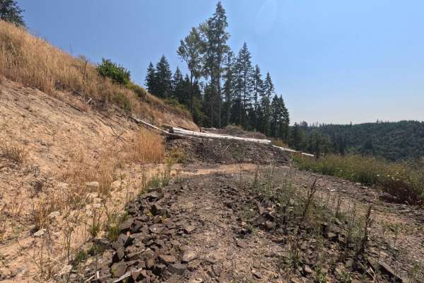
W-1090
Set within the scenic, mixed-timber environment of the Pacific Northwest's managed forestry lands, W-1090 serves as a highly rewarding out-and-back backcountry spur. Accessed via the primary regional logging network, this 1.1-mile dirt and gravel track leads travelers through vibrant evergreen stand...
Learn more about W-1090
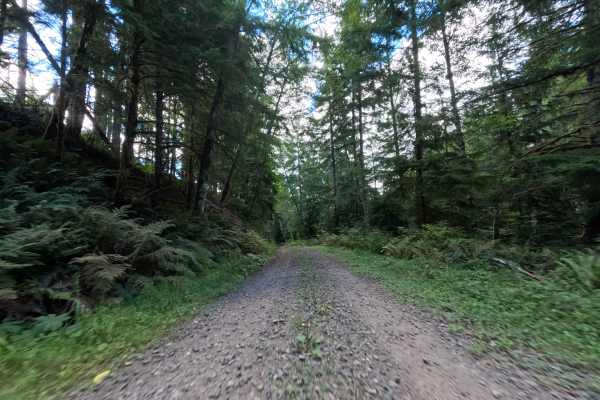
W-519
Branching off the W540 junction where the tree line breaks into an open meadow, W-519 serves as a scenic throughput connector ferrying travelers all the way to the W512 road. The environment begins dramatically at the top of a massive clear-cut, offering spectacular, unobstructed panoramic views of ...
Learn more about W-519
W-512 East
W-512 East operates as a highly secluded, out-and-back woodland spur. The surrounding environment features a remarkably lush, mature timber canopy where historical logging operations have long since given way to towering evergreens and a thick, vibrant understory packed with wild ferns and sprawling...
Learn more about W-512 East
Beginner ATV trails near Lexington, Washington
Explore ATV-friendly trails near you. These trails are accessible for vehicles up to 50 inches wide, perfect for ATVs and smaller off-road machines.
Signal Peak
A quick 20-minute scenic, well-maintained side route off the popular 4250 Mount Saint Helens route. The communication tower at the summit may be the end, but the real payoff is the views just before the final winding climb, offering massive, unobstructed views of Mount Saint Helens, Mount Adams, and...
Learn more about Signal Peak
Karth Road
This forest road connects Apiary Road with Pittsburg Road and is relatively level. It is, however, a typical logging road with potholes, washboard, and the occasional windfall tree in the way. This route begins on Apiary Road adjacent to the Columbia County Park Camp Wilkerson. There's nothing extra...
Learn more about Karth Road
Powder Horn Spur Road
The Powder Horn Spur is an easy, out-and-back gravel road branching off the main Powder Horn route. Suitable for most vehicles, the road features minimal elevation change and generally maintains a single-lane width, with several widened pull-outs available for parking or passing.
As you drive, the ...
Learn more about Powder Horn Spur Road
5100
This trail is primarily gravel and single vehicle width, with many areas along the way to pass oncoming traffic (if you see any). It is easily accessible and traversable by most vehicles. You may have to dodge a fallen rock or pothole here and there, but this will not distract from the beauty of the...
Learn more about 5100
Beginner UTV/side-by-side trails near Lexington, Washington
Find UTV and side-by-side trails near you. These trails accommodate vehicles up to 60 inches wide, ideal for UTVs, side-by-sides, and wider off-road rigs.
Signal Peak
A quick 20-minute scenic, well-maintained side route off the popular 4250 Mount Saint Helens route. The communication tower at the summit may be the end, but the real payoff is the views just before the final winding climb, offering massive, unobstructed views of Mount Saint Helens, Mount Adams, and...
Learn more about Signal Peak
Karth Road
This forest road connects Apiary Road with Pittsburg Road and is relatively level. It is, however, a typical logging road with potholes, washboard, and the occasional windfall tree in the way. This route begins on Apiary Road adjacent to the Columbia County Park Camp Wilkerson. There's nothing extra...
Learn more about Karth Road
Powder Horn Spur Road
The Powder Horn Spur is an easy, out-and-back gravel road branching off the main Powder Horn route. Suitable for most vehicles, the road features minimal elevation change and generally maintains a single-lane width, with several widened pull-outs available for parking or passing.
As you drive, the ...
Learn more about Powder Horn Spur Road
5100
This trail is primarily gravel and single vehicle width, with many areas along the way to pass oncoming traffic (if you see any). It is easily accessible and traversable by most vehicles. You may have to dodge a fallen rock or pothole here and there, but this will not distract from the beauty of the...
Learn more about 5100
The onX Offroad Difference
onX Offroad combines trail photos, descriptions, difficulty ratings, width restrictions, seasonality, and more in a user-friendly interface. Available on all devices, with offline access and full compatibility with CarPlay and Android Auto. Discover what you're missing today!
Open Trail Map