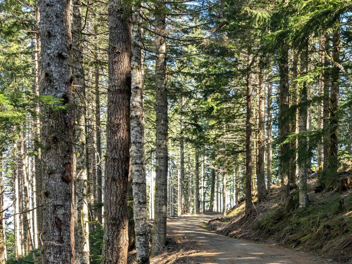
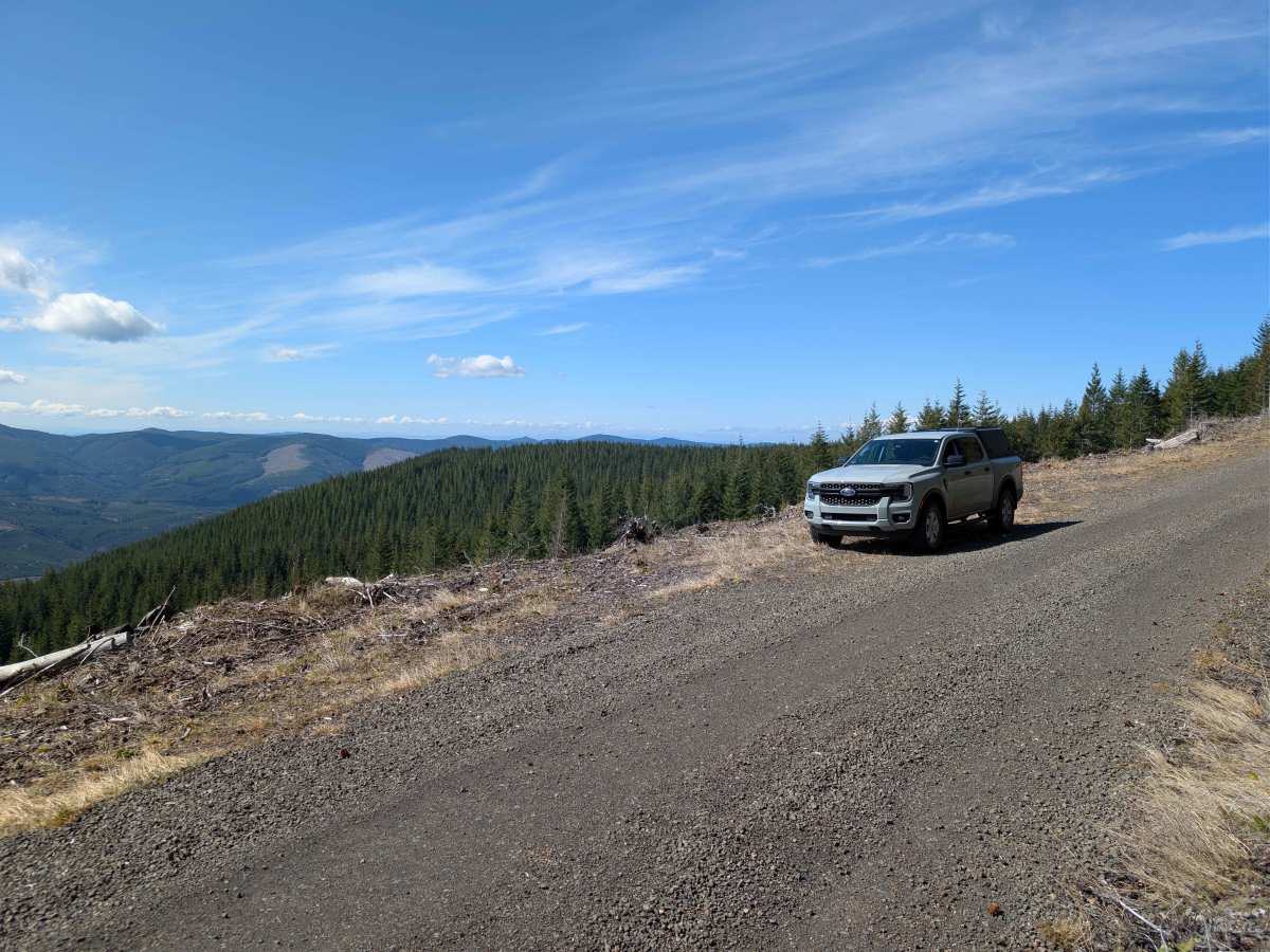
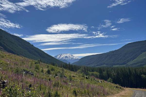
Trail Overview
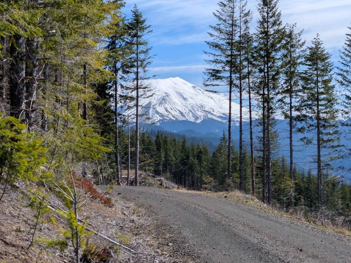
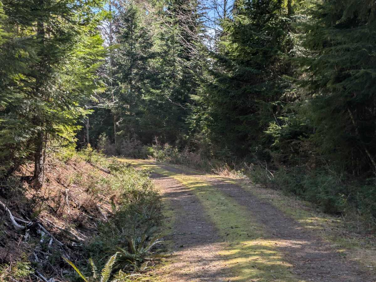
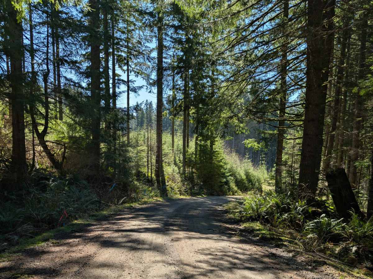
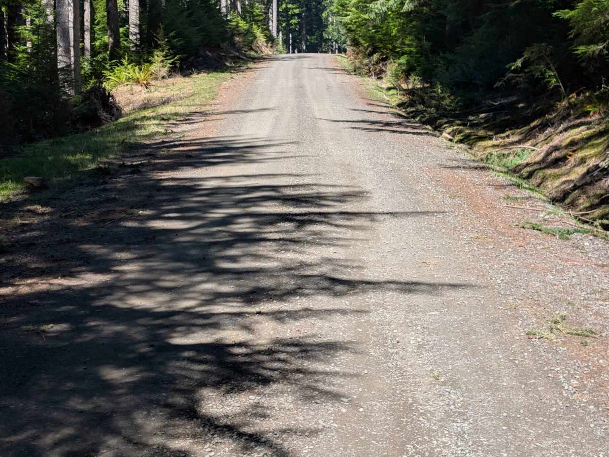
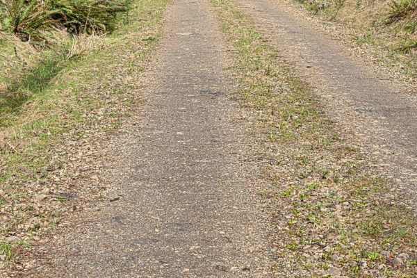
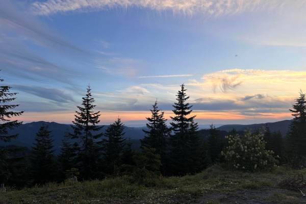
Branching off Forest Road 4250, this straightforward spur winds down the hillside through Washington State Department of Natural Resources land. The drive alternates between sections of shaded forest and open ridgelines that provide a clear, rewarding look at the South Fork Toutle River valley and Mt. St. Helens. You will pass a few small waterfalls near the trail, making it a nice, quick detour if you are already exploring the surrounding area. The route is an easygoing drive, but as you progress further down, the road becomes increasingly overgrown with encroaching brush. If you are in a mid-size truck or larger 4x4, you will likely want to find a spot to turn around before the brush gets too thick to avoid heavy pinstriping. However, if you are exploring the area on a dual-sport motorcycle or a narrower vehicle, the overgrown section remains passable and offers a bit more trail to cover.
Difficulty
This is a standard, unmaintained dirt and gravel spur. While it features some varying inclines as it winds down the hillside, there are no deep ruts, large rocks, or technical obstacles to navigate. The primary challenge is simply the overgrowth and narrowing of the trail toward the end, requiring vehicles wider than a side-by-side or motorcycle to eventually turn back.