Trail Overview
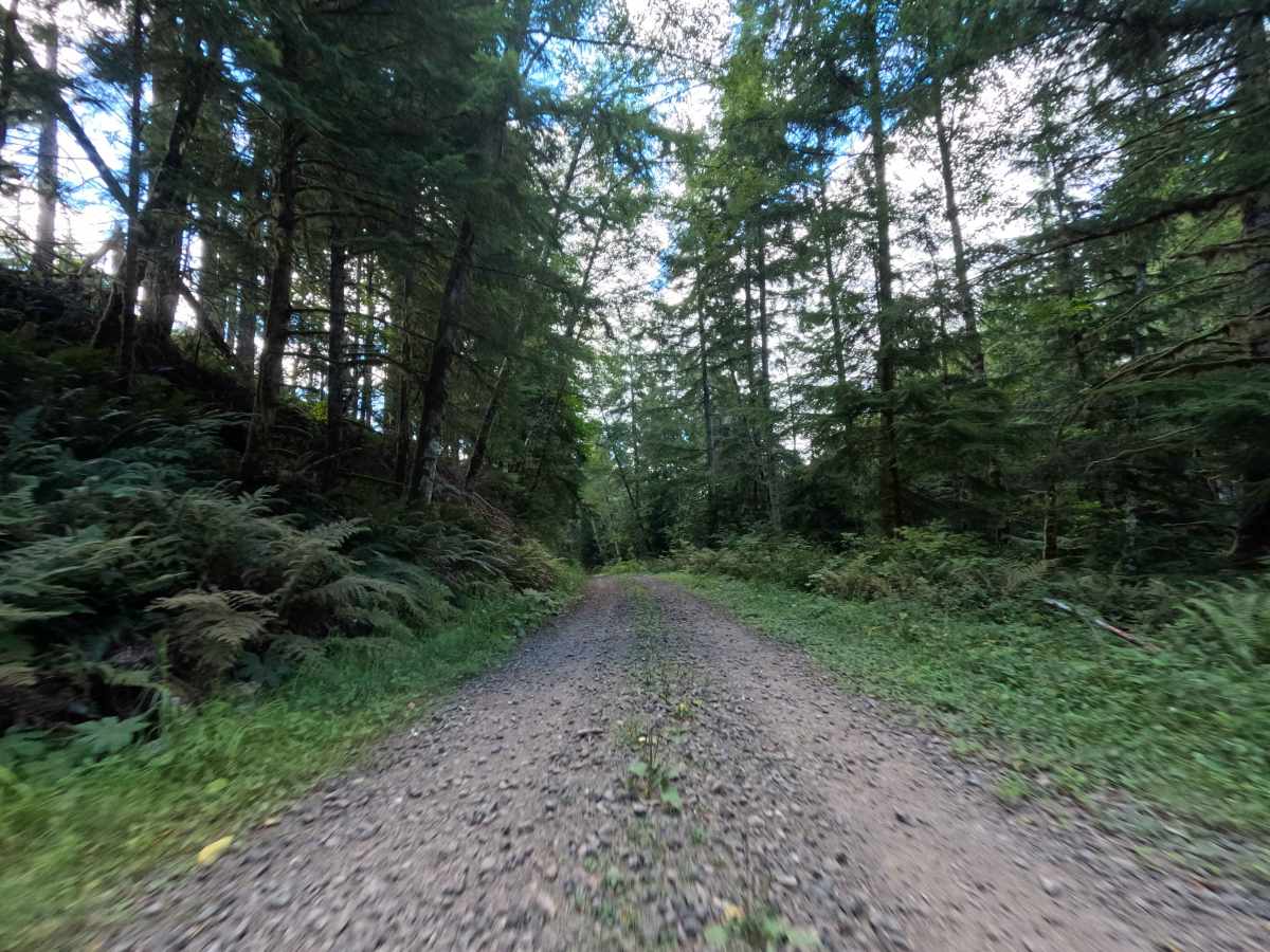
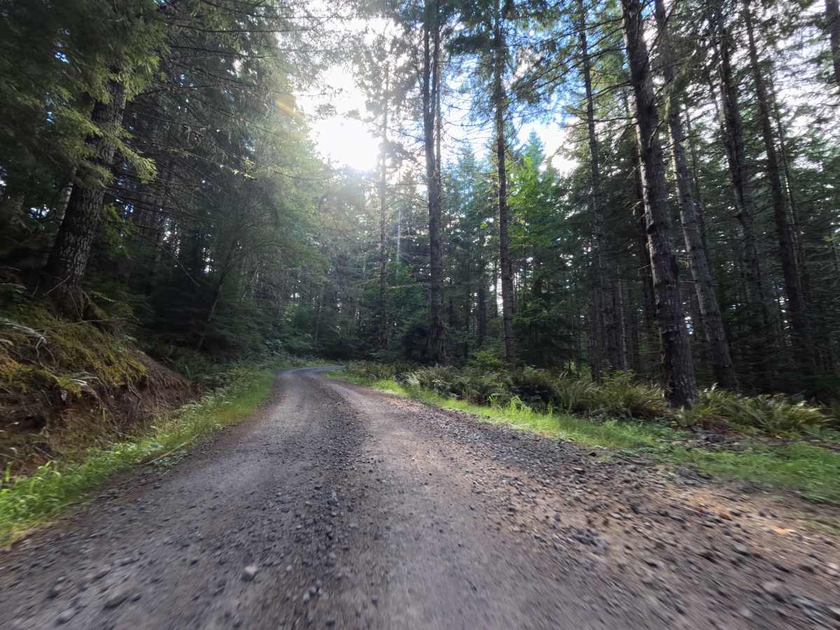
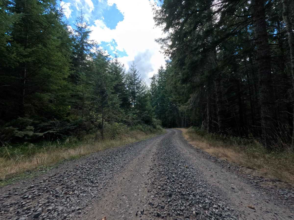
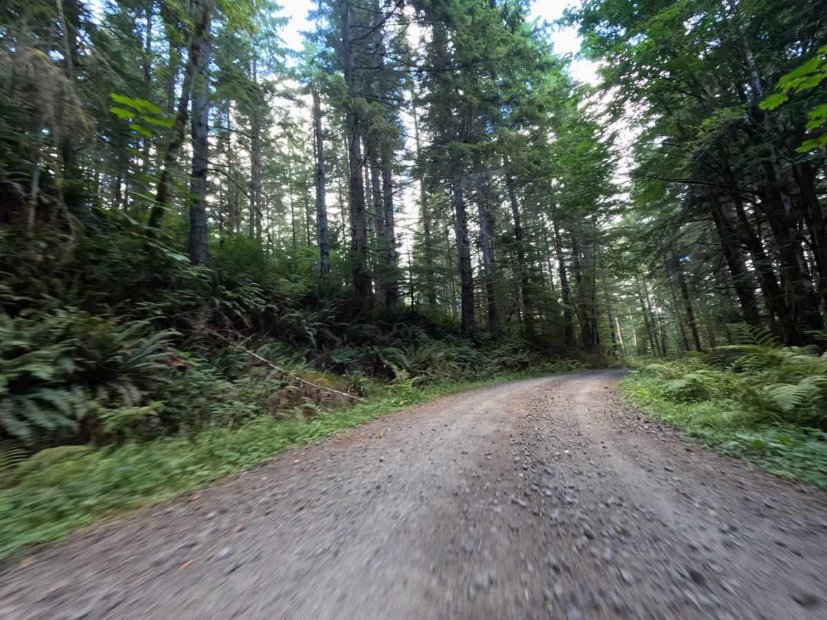
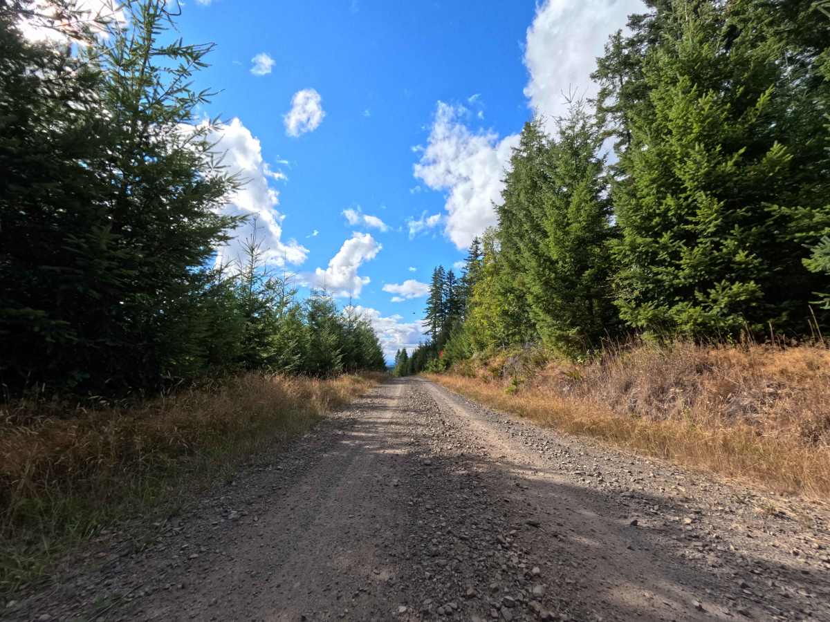
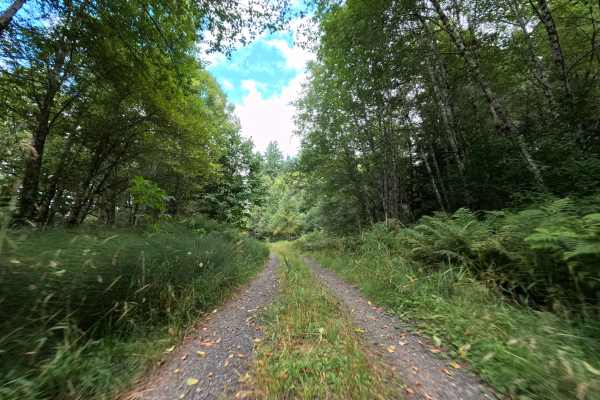
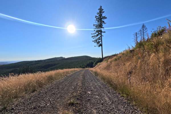
Branching off the W540 junction where the tree line breaks into an open meadow, W-519 serves as a scenic throughput connector ferrying travelers all the way to the W512 road. The environment begins dramatically at the top of a massive clear-cut, offering spectacular, unobstructed panoramic views of the western valleys and Mount Rainier before diving back under a dense canopy of mature evergreen timber within the National Forest. Holding a modest difficulty rating of 2, the wide, well-maintained dirt and crushed gravel surface provides a highly reliable drive. Outdoor enthusiasts frequently utilize this transit route to push deeper into the mountains for weekend camping or to access sprawling vantage points for backcountry exploration.
Difficulty
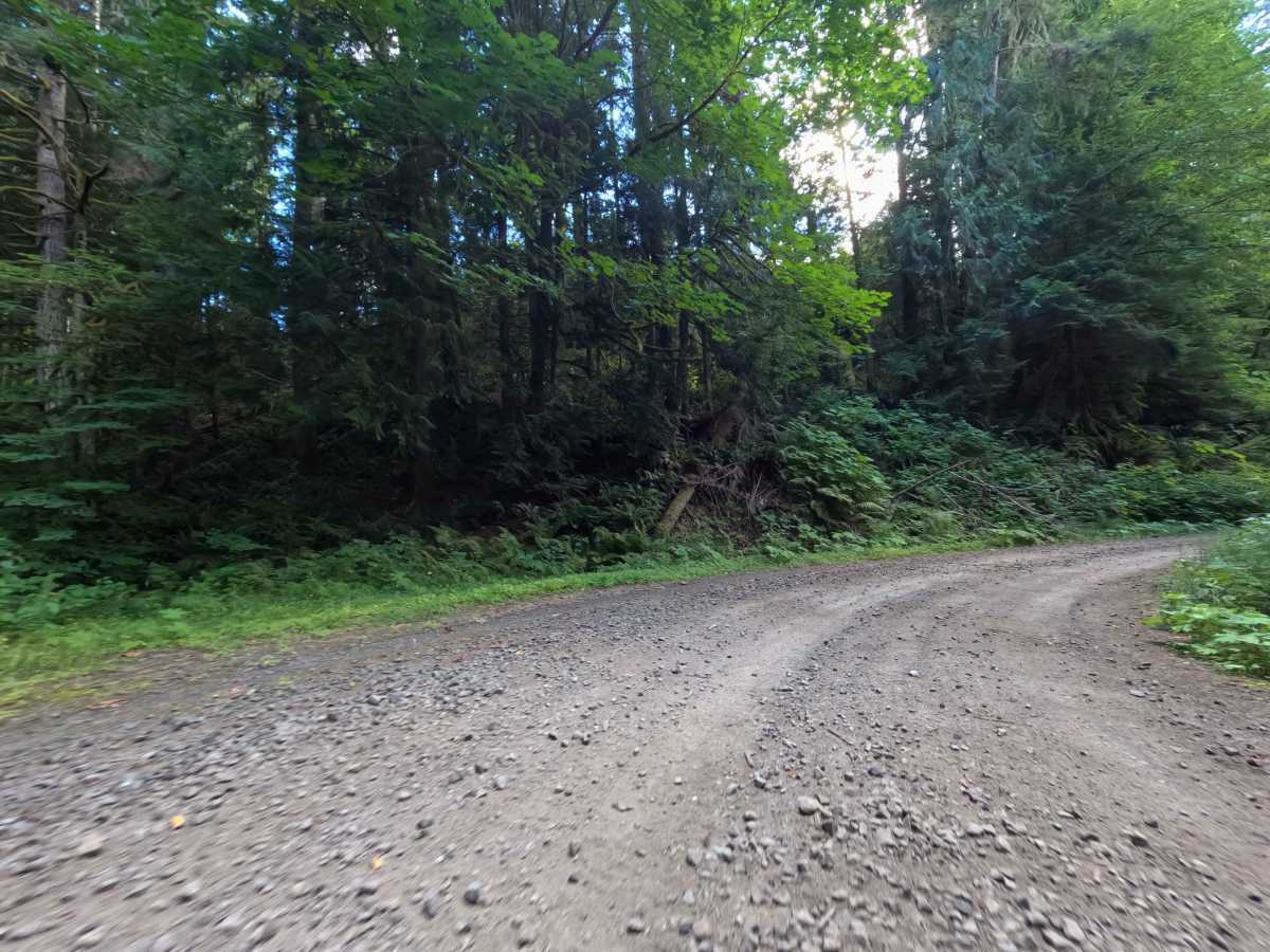
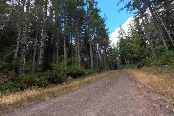
Earning a level 2 rating, this well-groomed forest connector delivers a thoroughly straightforward and smooth drive. The packed dirt and gravel roadbed is highly maintained and completely free of deep erosion ruts, large embedded rocks, or off-camber washouts that might threaten undercarriage clearance. While the route does feature a few noticeably steep climbs and descents as it traverses the hillside landscape, the solid surface provides excellent, predictable traction from start to finish. The corridor is cleared wide enough through both the timber stands and the open clear-cuts to ensure vehicle paint remains safe from encroaching brush, making for a relaxing, scenic cruise.

 Offroad