Trail Overview
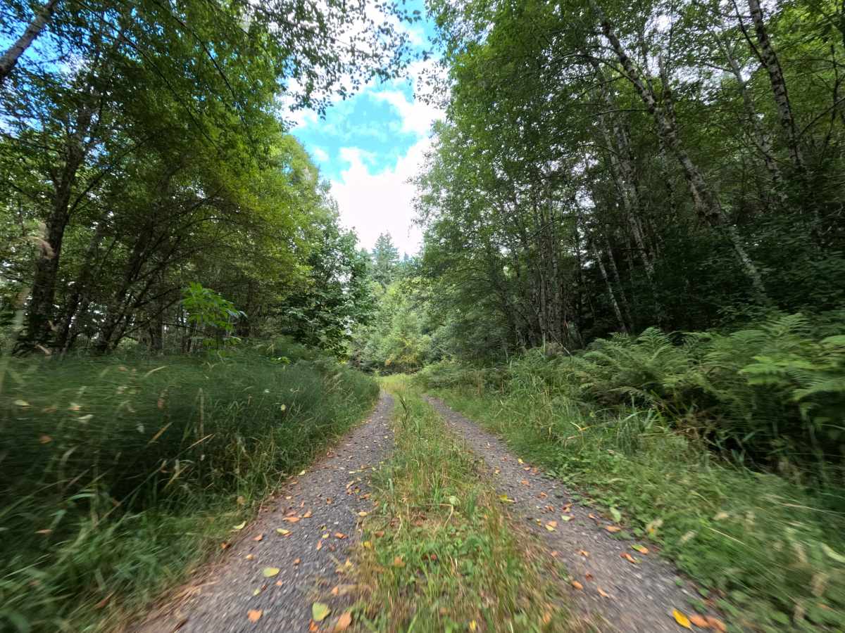
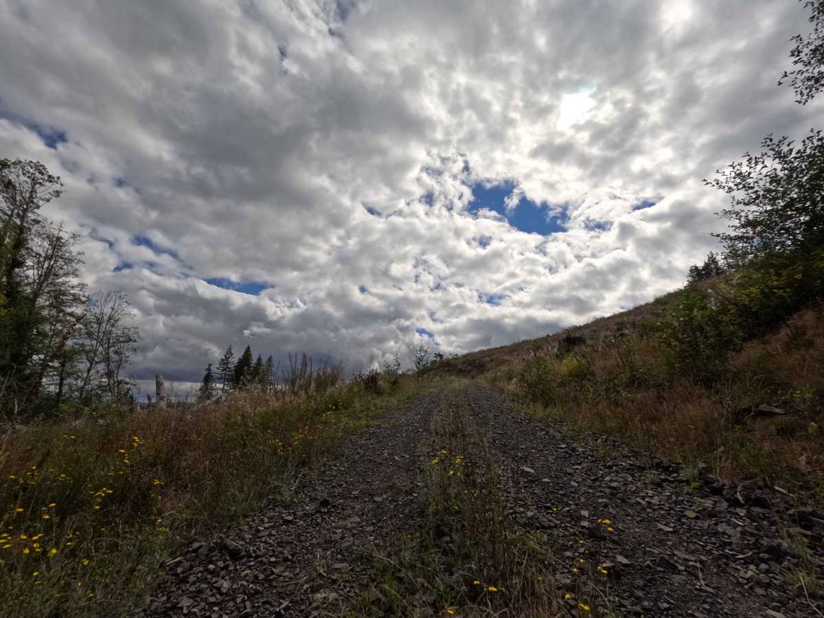
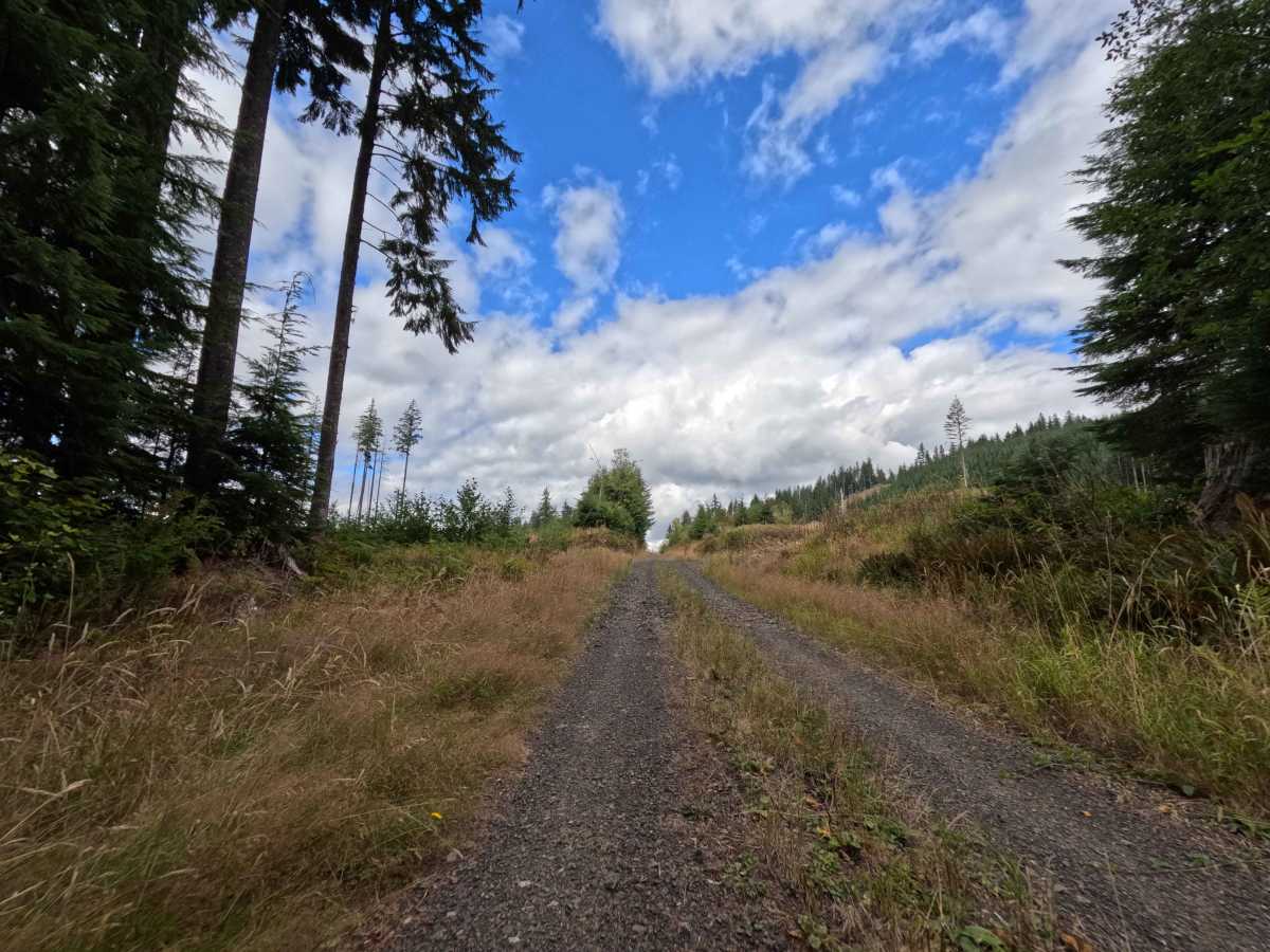
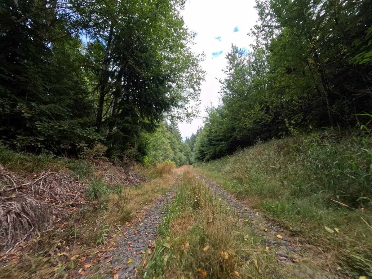
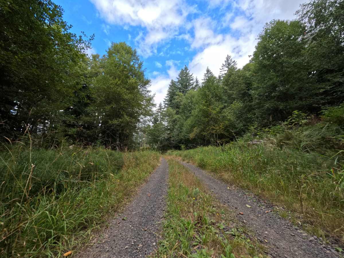
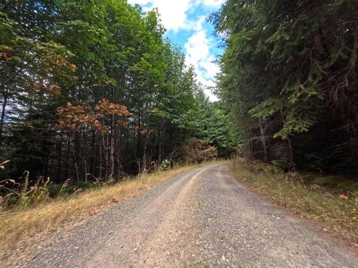
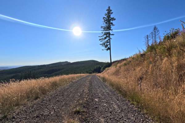
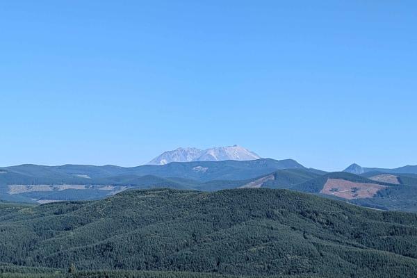
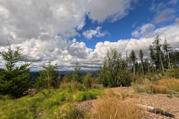
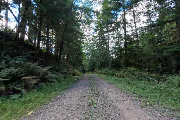
Operating as a highly scenic out-and-back route, W-544 climbs steadily into the Washington backcountry. The trail begins by winding through a shaded, densely wooded National Forest landscape before transitioning into a massive, un-replanted clear-cut zone that offers sweeping, unobstructed sightlines. Consisting of a well-maintained, single-track dirt and gravel surface, this route holds a moderate difficulty rating of 3. As the road pushes uphill toward the mountains, drivers will encounter intermittent stretches of loose, deep gravel where recent road repairs have been made, alongside tall center grasses growing between the tire tracks. Once the tree line breaks, the corridor reveals vast, spectacular views out into the western valleys, showcasing distant lakes, rolling hills, and prominent glimpses of Mt. Rainier on clear days. Around the 2.5-mile mark, the route unofficially transitions into the unmapped 544a spur, continuing until it abruptly dead-ends at a large log pile. Outdoor recreationists frequent this path to soak in the incredible panoramic vistas or to stage a remote, quiet backcountry camp.
Difficulty
Earning a level 3 rating, this route requires a bit more focus and careful vehicle placement than a standard groomed forest road. While the base is generally solid, the consistent uphill climb features several patches of loose, chunky gravel from recent road maintenance, which can challenge traction for vehicles without capable all-wheel-drive systems. Additionally, the trail exhibits moderate vegetative overgrowth, with tall center weeds and creeping shoulder brush that will inevitably graze the sides and undercarriage of the vehicle. The track concludes at an impassable log pile, requiring drivers to execute a careful turnaround maneuver in the exposed clear-cut area.

 Offroad