Trail Overview
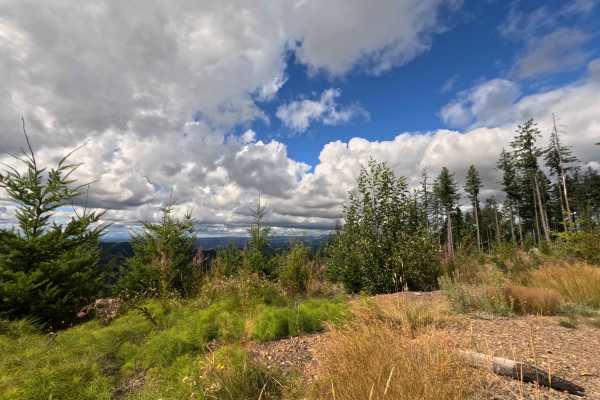
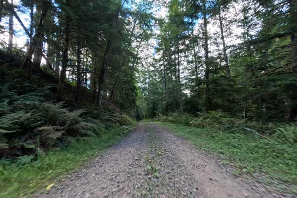
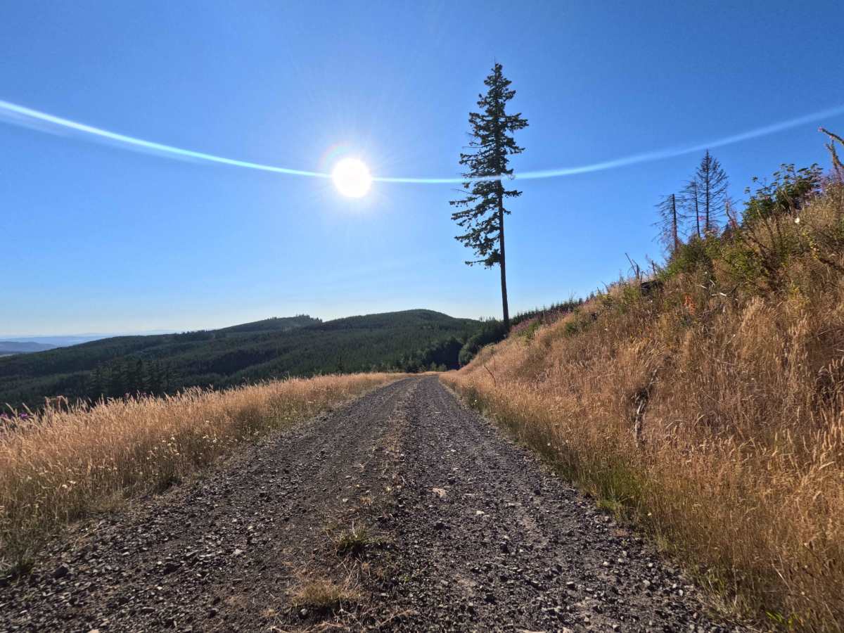
Nestled within the spectacular landscapes of the Gifford Pinchot National Forest, the W-546 route to Crazy Man Mountain serves as a breathtaking out-and-back backcountry spur. Accessed from the surrounding regional forestry network, this 1.7-mile track initially climbs through a steep, shaded evergreen canopy before dramatically opening up into sprawling clear-cut meadows. Outdoor enthusiasts, sightseers, and sportsmen travel this scenic pathway to scout prime fall hunting locations for black bear and to capture incredible, unobstructed panoramic views of Mount St. Helens, Mount Adams, and Mount Rainier. The driving surface consists of a wide, well-maintained dirt and crushed gravel road, earning an accessible Grade 2 difficulty rating. The route climbs steadily toward the mountaintop, offering ample room for oncoming traffic to pass comfortably before terminating at a high-elevation viewpoint where drivers can safely turn around and head back down the hillside.
Difficulty
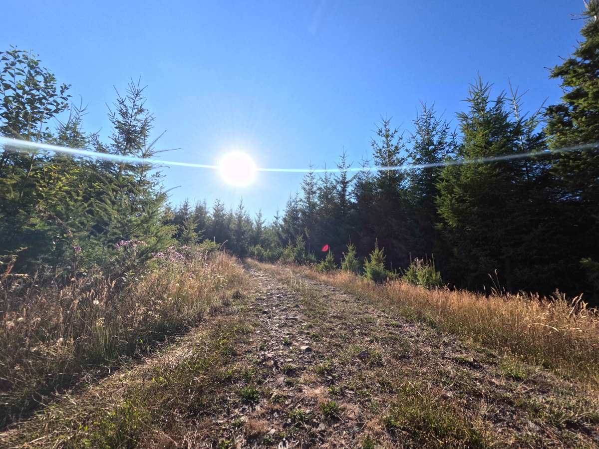
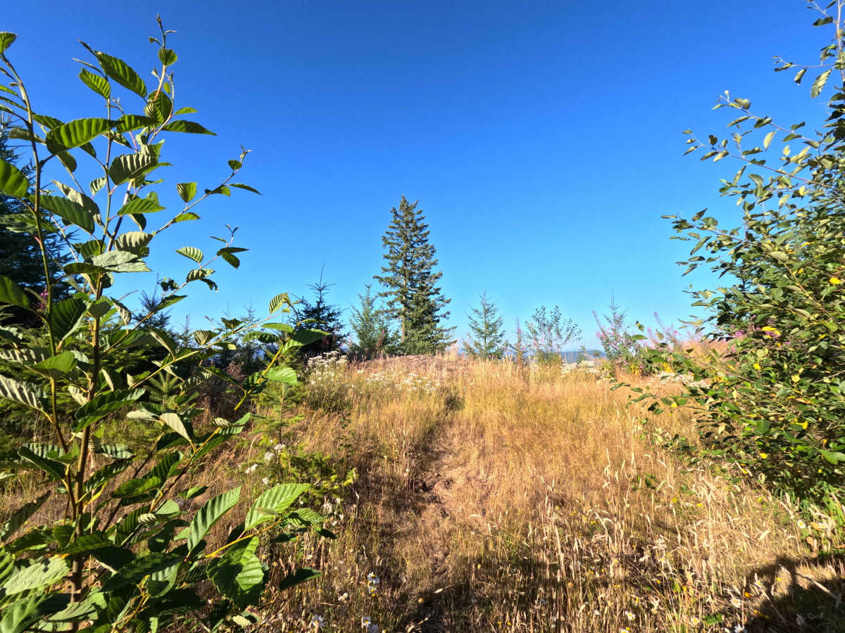
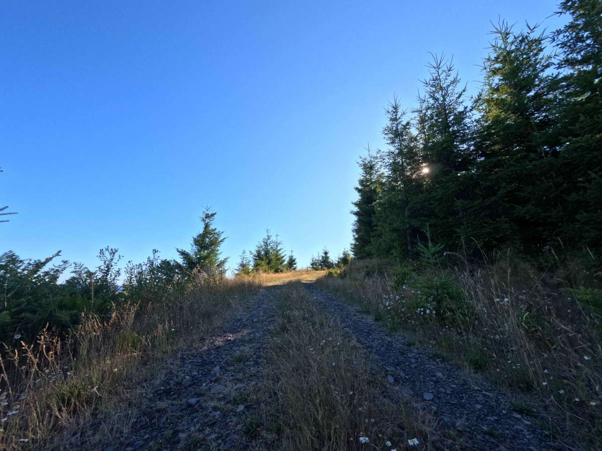
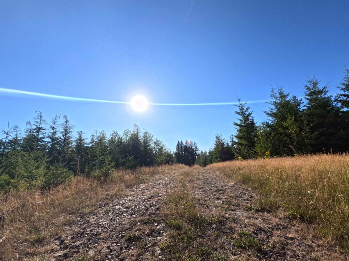
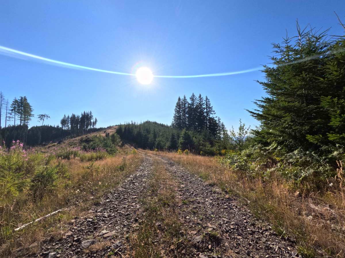
This out-and-back mountain spur features a firm, predictably graded gravel and dirt foundation that is entirely free of technical off-road obstacles. Severe terrain hazards such as deep mud bogs, heavy washouts, steep rock ledges, and high-clearance boulder fields are completely absent under normal dry weather conditions. As observed in the trail photographs, non-technical considerations are strictly limited to navigating a noticeably steep incline near the beginning of the route and managing minor surface ripples along the crushed stone track. The corridor is generously wide and reliably smooth, allowing drivers to confidently maintain a steady momentum during the initial climb before cruising comfortably through the open meadows to reach the stunning volcanic viewpoints at the summit.

 Offroad