Trail Overview
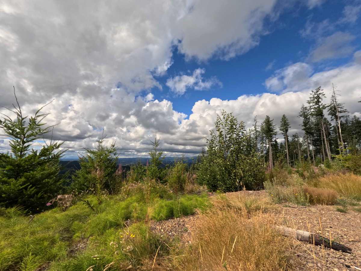
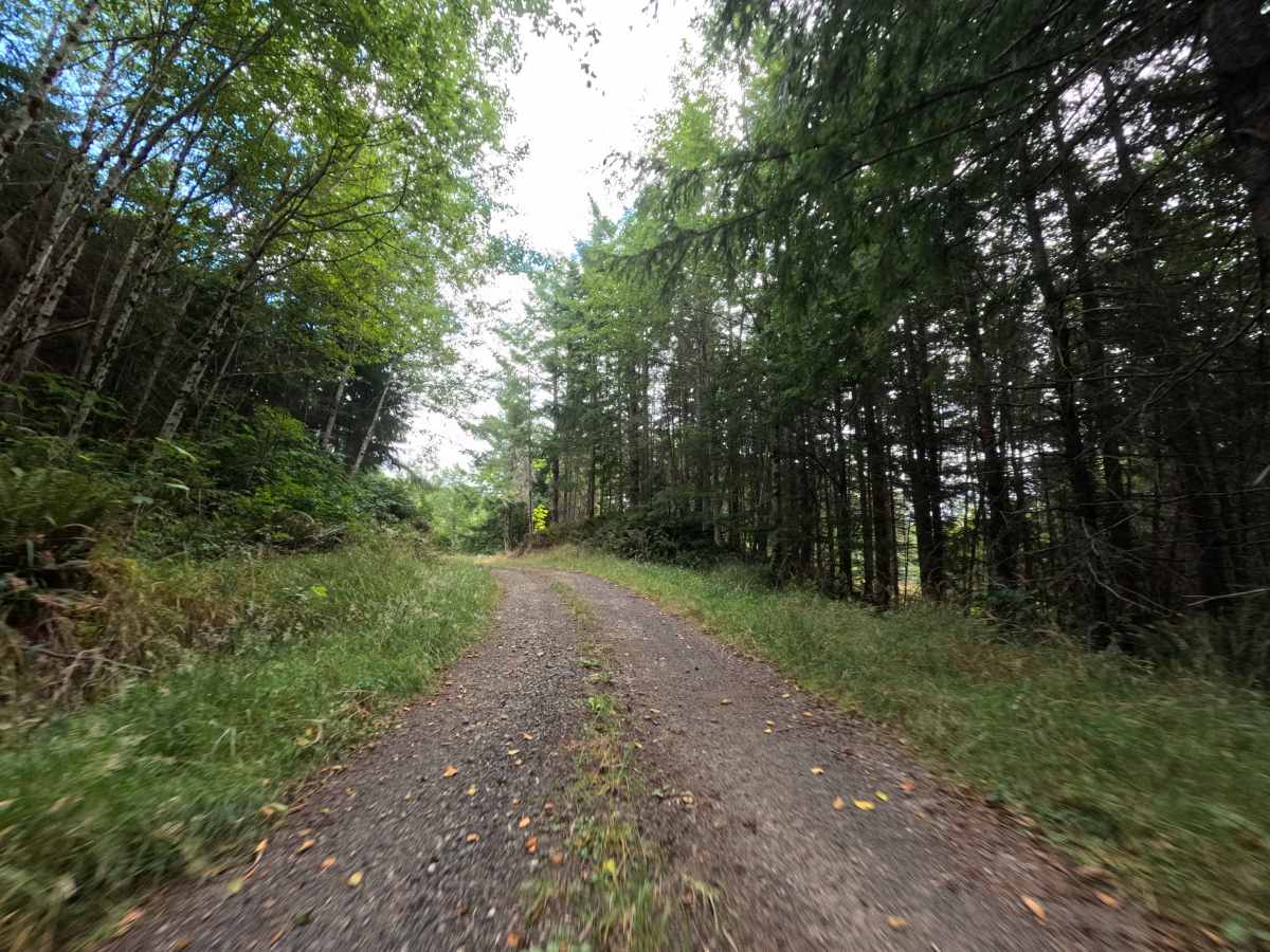
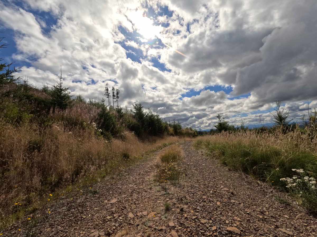
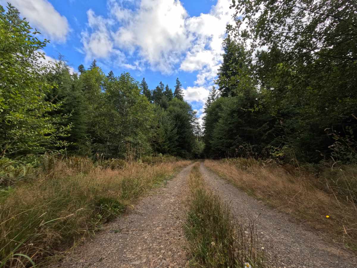
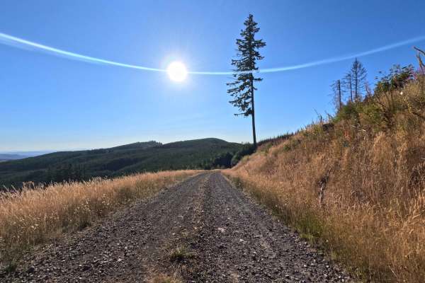
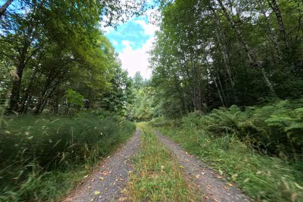
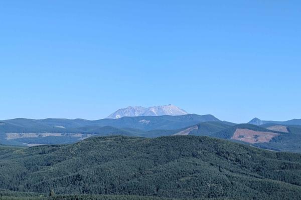
Branching off the main forestry network, the W-545 operates as a scenic out-and-back dirt spur probing into the Washington backcountry. The trail initially weaves through a densely timbered evergreen forest before dramatically breaking out into a sprawling, open clear-cut environment within the National Forest. This solid, single-lane dirt and crushed rock path earns an easy level 2 difficulty rating, steadily climbing to an elevation of approximately 2,100 feet. As the timber yields to the logged clearing, the route offers vast, unobstructed panoramic views stretching to the west and northwest, occasionally offering glimpses of Mount Rainier in the distance on a clear day. Outdoor enthusiasts primarily use this dead-end track to access a fantastic, expansive turnaround area at the end of the road that serves as a highly desirable dispersed campsite. Surrounded by open terrain, this quiet staging ground provides an excellent vantage point for spotting local wildlife or simply enjoying a remote sunset over the valleys.
Difficulty
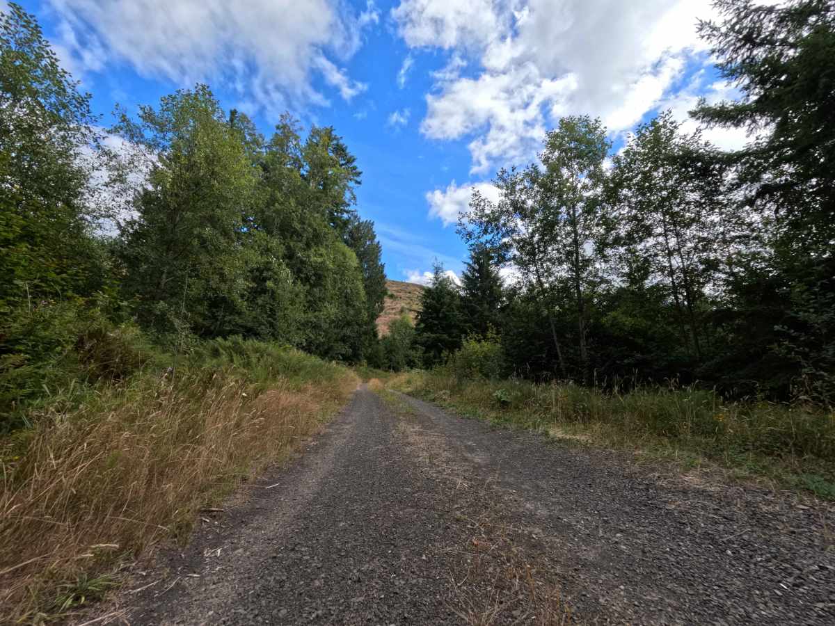
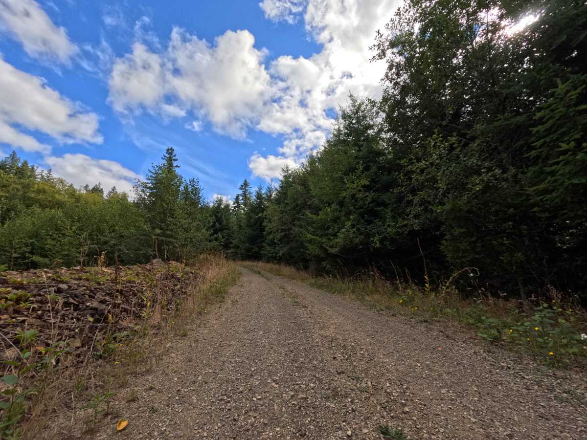
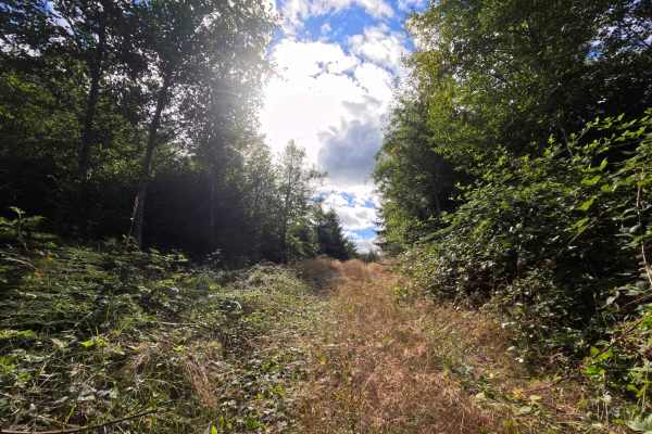
Holding a level 2 rating, this spur provides a highly approachable and firm drive for standard all-wheel-drive vehicles. The roadbed is composed of packed dirt and gravel that remains solid throughout the steady climb, lacking deep ruts, off-camber washouts, or technical rock obstacles. While tall grasses line the center track and light brush skirts the edges of the forest sections, the corridor remains wide enough to avoid significant paint scratching. Drivers simply need to maintain a steady momentum up the elevation gain, resulting in a smooth, confident transit to the spacious turnaround camp at the summit.

 Offroad