Trail Overview
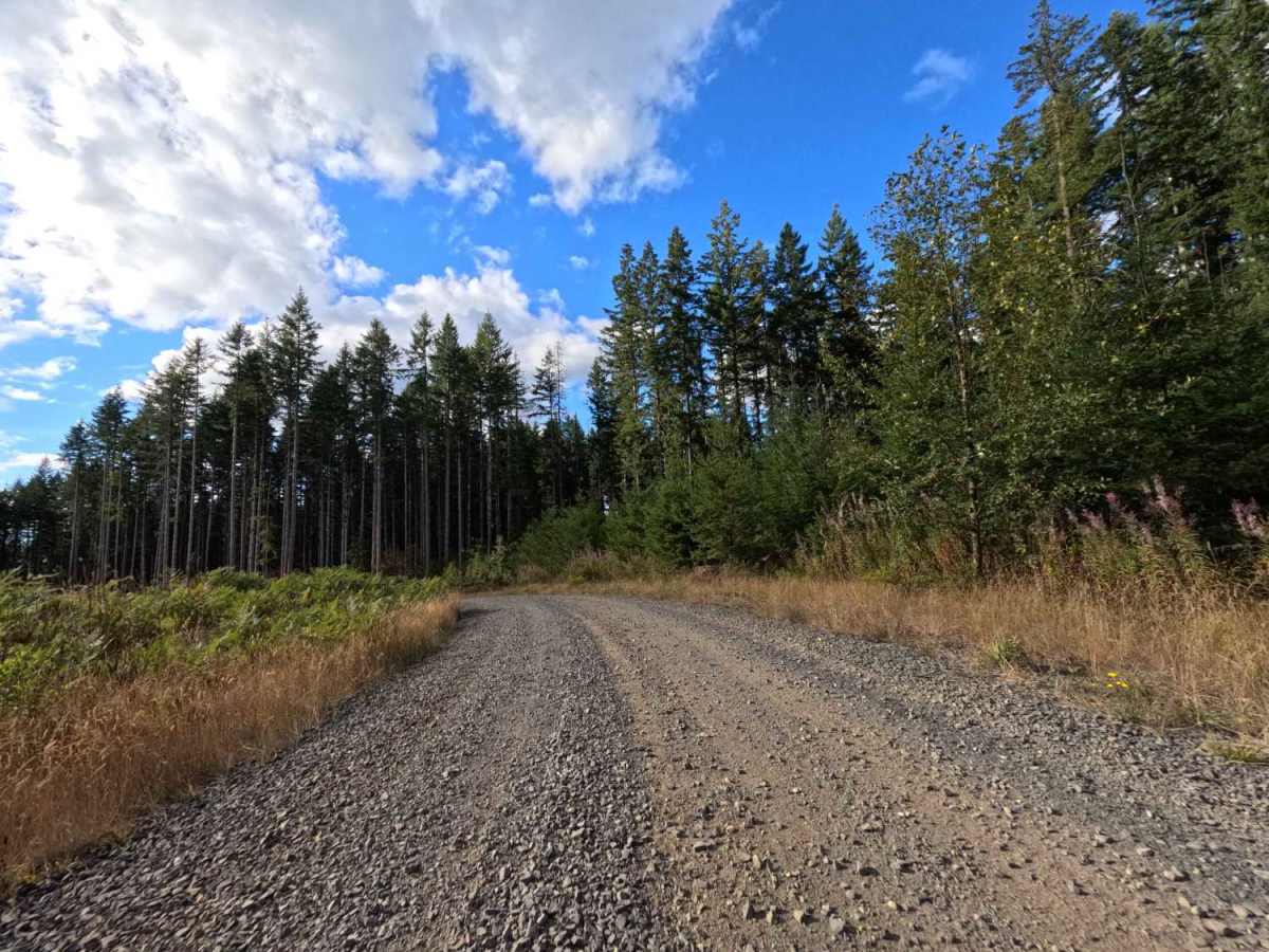
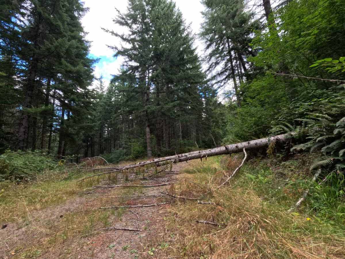
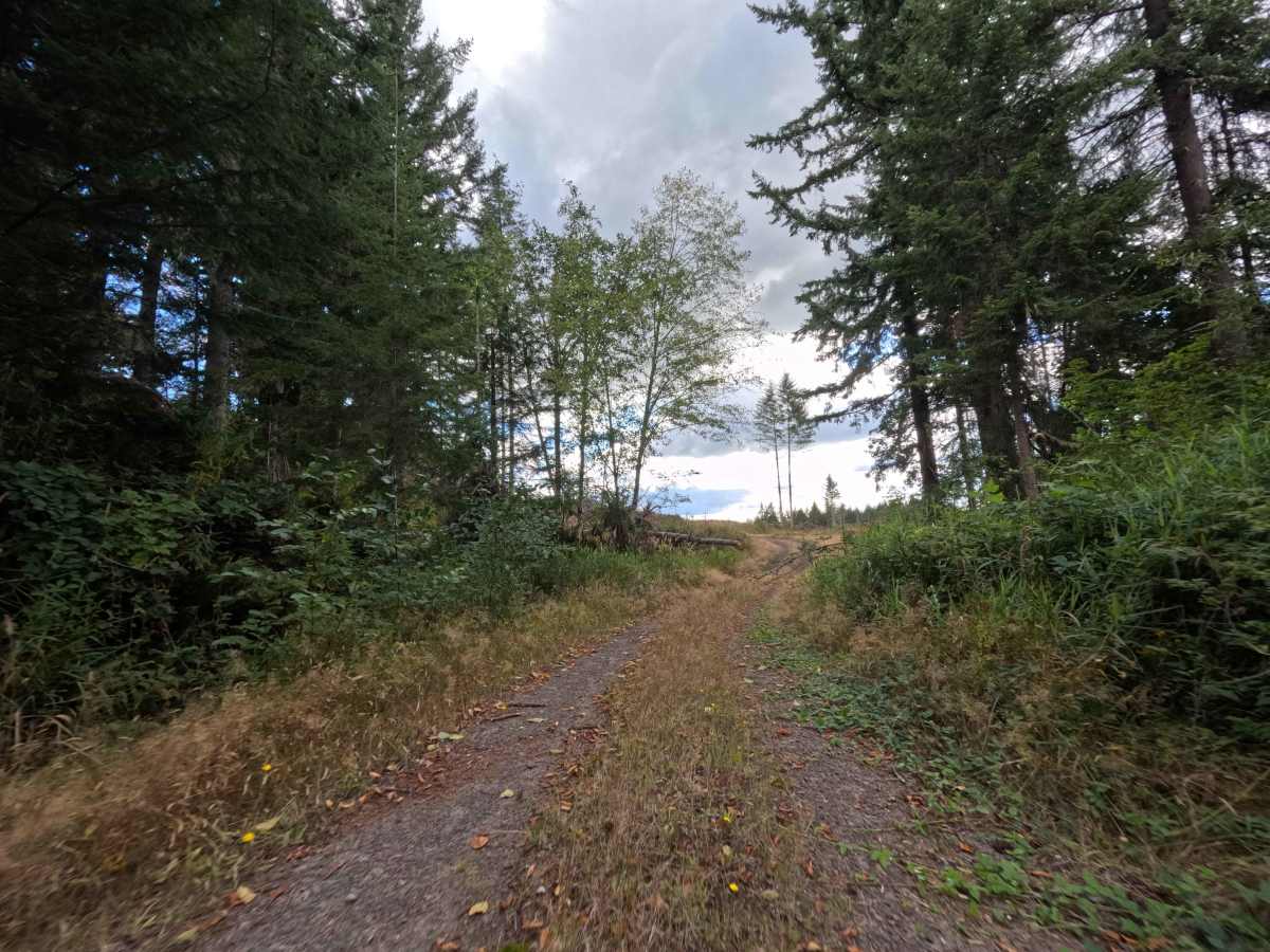
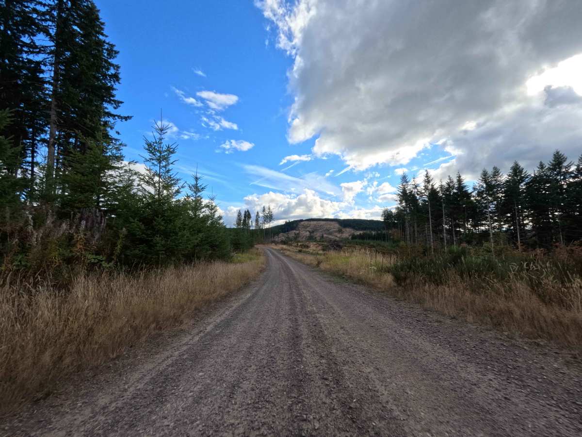
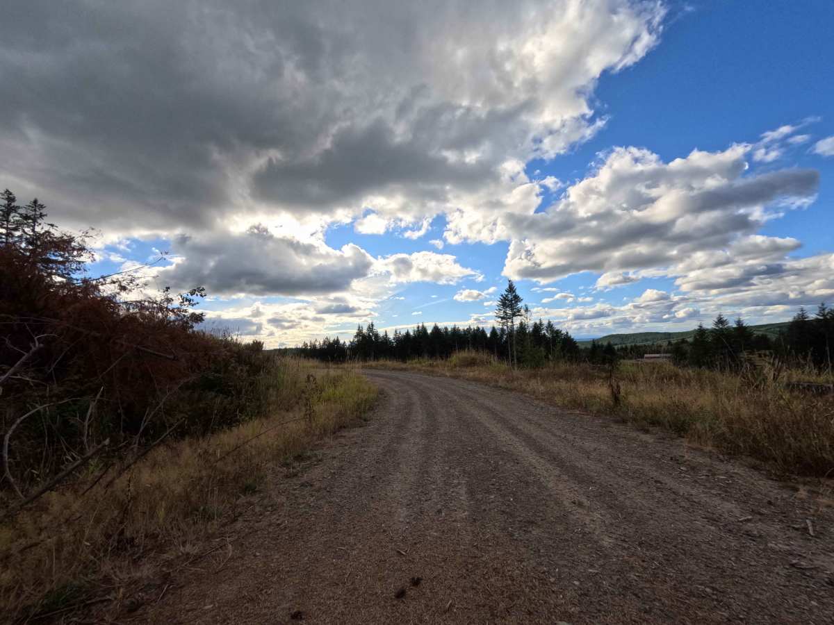
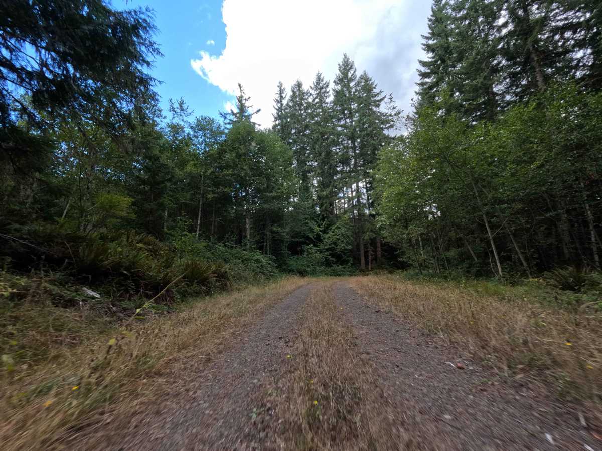
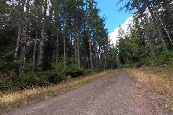
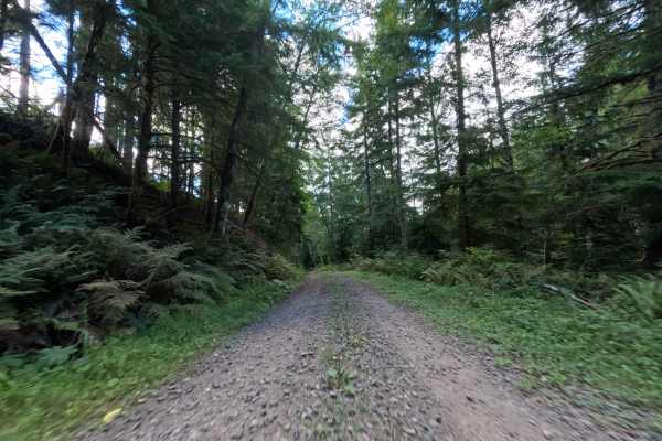
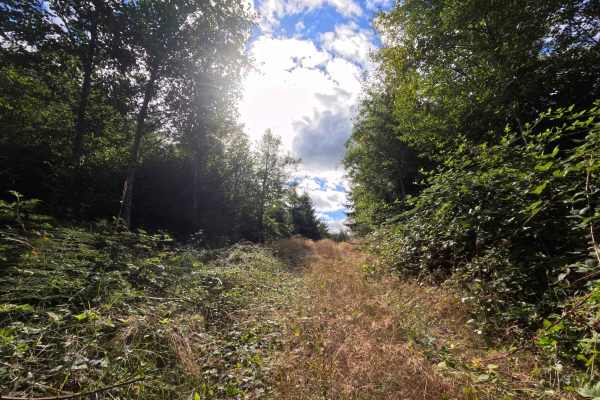
Branching out from the W-510 connector, W-512 West operates as a prominent transit road cutting through the active forestry lands of Washington. The route bounces between contrasting environments, plunging into dense, dark pockets of mature evergreen timber before opening up entirely into massive, recently harvested clear-cuts that are just beginning to show signs of new growth. These exposed sections offer expansive, sweeping views of the surrounding hillsides. Holding a difficulty rating of 2, the road features a wide, graded dirt and crushed rock surface that is generally well-maintained to support forestry traffic. Travelers frequently use this corridor as a primary conduit to push deeper into the forest network or to eventually link back out to the main pavement of Salmon Creek Road.
Difficulty
Rated as a level 2, this main forestry road provides a largely straightforward and accessible drive for most vehicles. The wide, packed dirt and gravel roadbed is highly graded, meaning drivers will not face severe off-camber sections, deep washouts, or technical rock obstacles that threaten undercarriage clearance. Furthermore, the corridor is cleared extremely wide, completely eliminating any concerns regarding brush scratching the sides of the vehicle. The only notable hazards on this route are occasional, heavy-duty potholes and mild erosion ruts created by the constant flow of commercial logging trucks. Successfully navigating this trail simply requires a driver to maintain a moderate, attentive pace and carefully steer around the deepest depressions to prevent jarring impacts.

 Offroad