
Beginner Off-Road Trails
Near Lehigh, Kansas
Explore All Beginner Trails Near Lehigh, Kansas
Beginner Off-Road Trails Near Lehigh, Kansas
Discover the best beginner-friendly off-road trails near you. These easier, lower-rated trails are a great place to start — browse trail maps, check difficulty ratings, and find your next adventure.
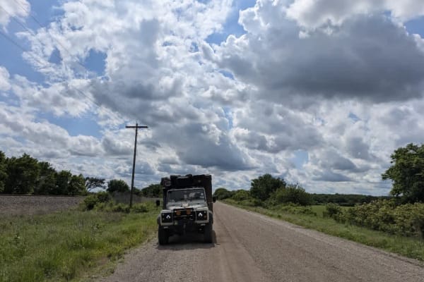
Old Highway 50
This trail is a broad, well-maintained gravel road that runs alongside railway tracks for much of the way. It's easy to pick up speed here, but it's worth slowing down as the route is shared with local farm traffic. The trail crosses several small bridges and winds through farmland and rolling hills...
Learn more about Old Highway 50
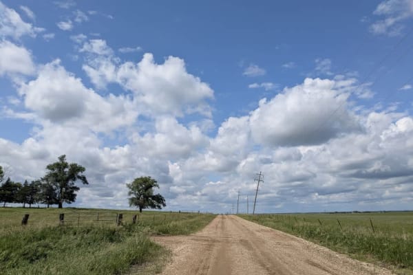
RS91
This wide and mostly well-maintained trail has a gravel surface that can become muddy and slippery in wet conditions. There are patches of corrugation and a few potholes to watch out for. The route winds past farms and gently rolling hills, eventually linking one town to another. No formal or disper...
Learn more about RS91
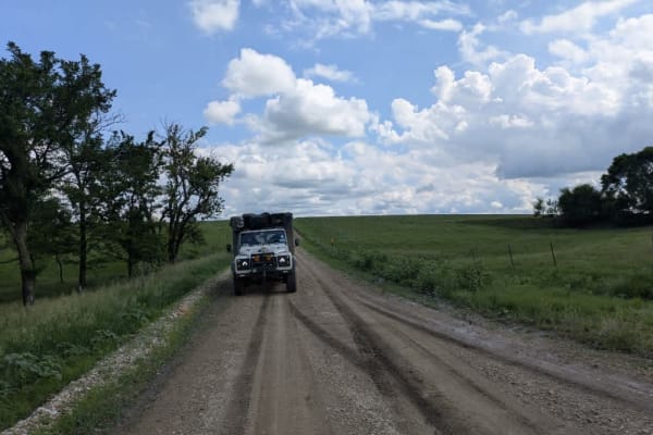
V Road
This trail begins as a broad, smooth gravel road that winds past farmland, offering an easy drive at first. After crossing the interstate, the trail shifts in character--narrowing into a straight, well-maintained gravel stretch before transitioning into a winding section that can become muddy and sl...
Learn more about V Road
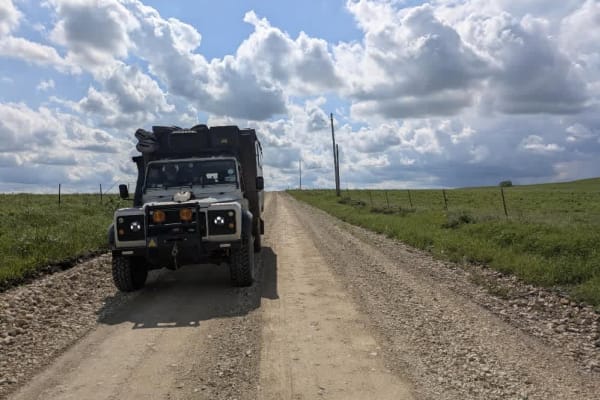
FF Avenue
This trail winds through rolling green hills, featuring several significant ascents and descents along its mostly smooth gravel surface. As you drive, the blissful route passes a handful of farmsteads before opening onto a serene lake bordered by beautiful private homes and posted private land. Ther...
Learn more about FF Avenue
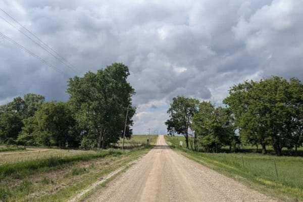
Kahola Road
This route follows a mostly well-maintained gravel surface, winding through a series of gentle twists and turns. Drivers should keep their speed down to account for occasional local traffic and the changing character of the road. Once you leave the lakeshore behind, the trail stretches into more ope...
Learn more about Kahola Road
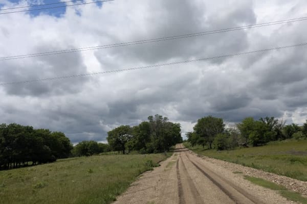
Sharp Creek Road
This long gravel trail is generally well-maintained but can get muddy and slick in sections, especially after rain. Expect occasional corrugation and potholes. The route crosses several small bridges and winds past farmland and scenic rolling hills. A highlight of the trail is a bridge over the inte...
Learn more about Sharp Creek Road
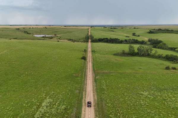
Explorers Trail
This route will take you through some of the beautiful and unique landscapes of central Kansas, combining scenic drives with opportunities to explore natural and historical sites. It consists primarily of gravel roads, with a few being dirt and low-maintenance, so be sure to keep an eye on the weath...
Learn more about Explorers Trail

WP Road
This route winds through fenced fields where cattle graze behind fences rather than roaming free. Sections of the path are smooth and compacted, while other stretches give way to loose gravel and can be rocky. Gentle inclines and descents carry you across rolling green hills that evoke a classic com...
Learn more about WP Road
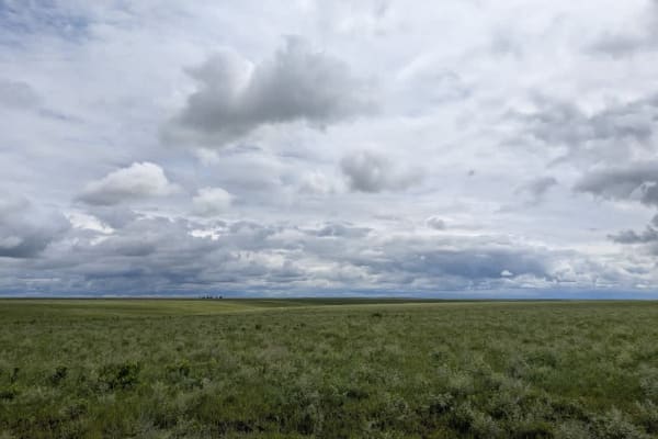
Madison Road
This narrow gravel track weaves through open range, its surface slick and deeply rutted after rain. You'll cross several cattle gates and may find inquisitive cows lingering on the path, so keep your speed in check. The route twists and turns up ascents and down descents, rewarding patience with wid...
Learn more about Madison Road
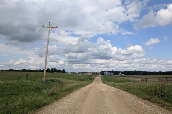
DD Avenue
This trail runs over well-maintained gravel, though it turns muddy in spots. You'll encounter a few twists and turns and some local traffic, so keep your speed down. Once you leave the lakeshore, the drive opens out into gently rolling fields and stands of trees, offering a gentle and scenic drive. ...
Learn more about DD Avenue
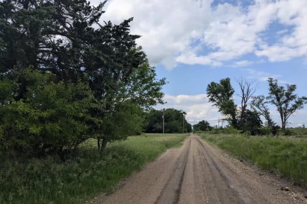
South 150 Road
This trail runs over predominantly smooth gravel, featuring gentle climbs and descents and a few shallow dips. When the surface is wet, sections can become slippery, so caution is advised. The route crosses a small bridge and winds past farms and sublime countryside. There are no formal or dispersed...
Learn more about South 150 Road
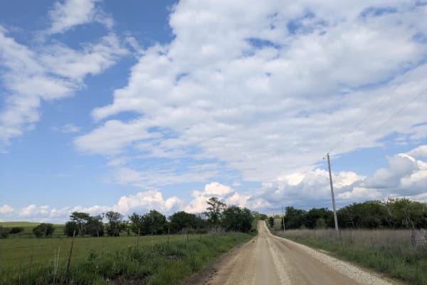
Road 310
This trail begins with an arrow-straight, smooth stretch peppered by a few gentle ascents and descents. As it starts to wind, you'll pass a scene reminiscent of a painting: black cows grazing on vibrant grass beside cream-colored concrete slabs supporting black oil tanks, all set against rolling gre...
Learn more about Road 310
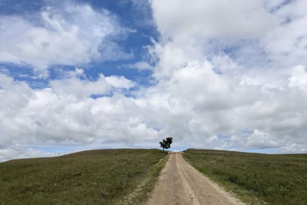
Township Road 50
The path quickly narrows into a muddy ribbon across open range, so you'll pass through several cattle gates and might spot cows lingering on the roadway, drawn by the sound of your engine. Occasional oil derricks punctuate the landscape, hinting at the route's infrequent use by local farmers and fie...
Learn more about Township Road 50
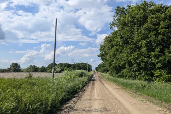
Road D
This trail begins on a narrow, well-maintained track that climbs steadily into the hills and intersects a section of the Flint Trail where motor vehicles are prohibited. In that stretch, free-range bison roam, and the area is popular with hikers and mountain bikers. From there, the route descends pa...
Learn more about Road D
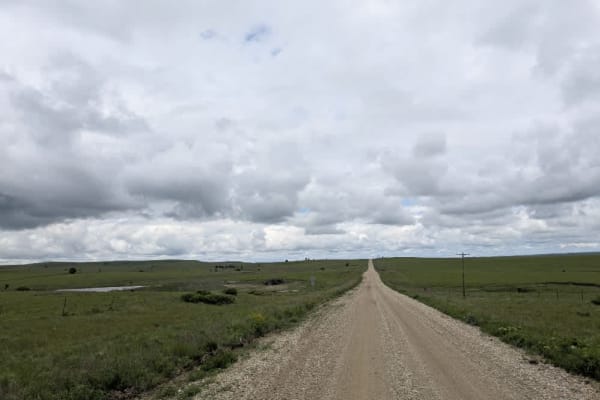
River Road
The road keeps a mostly straight course, bending just enough to break the monotony, but the surface dips and heaves and is uneven in sections that make the vehicle sway, so easing off the throttle is wise. Although the gravel is generally well maintained, you will bump over light corrugations, dodge...
Learn more about River Road
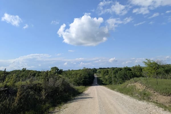
Agnes City Road
This trail winds through a heavily treed landscape where the gravel surface stays buttery smooth for the most part, punctuated by a few gentle climbs and descents. Along the way, you'll cross several shallow rivers and pass fields tended by local farmers. Be mindful of deer and the occasional vehicl...
Learn more about Agnes City Road
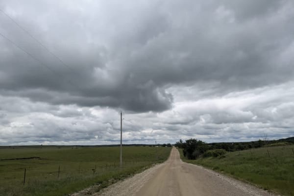
County Road 31
The route runs mostly straight across well-graded gravel, though it bends just enough to keep things interesting and crosses over a broad concrete bridge spanning the creek. Shallow corrugations, scattered potholes, and late-May mud remind you to stay alert, but the drive remains enjoyable rather th...
Learn more about County Road 31
Reece Road
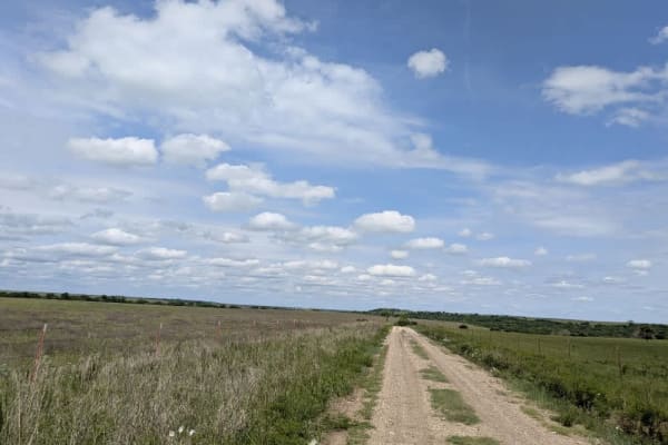
Most of this route snakes through the hills as a single-lane strip of rough, rocky gravel, bouncing over washboard ridges and splashing through a handful of shallow streams. A few miles from the end, it suddenly opens up into a broader, smoother road that local farmers use to reach the town, so the ...
Learn more about Reece Road

Southeast 70th
The trail squeezes into a single lane and mixes slick mud with loose rock almost from the start. A short stretch of smooth gravel encourages a little extra speed, but the road soon crests and drops into a steep, stone-strewn descent that demands careful braking. This corner of the broader route is s...
Learn more about Southeast 70th
Sandy Bottom Boulevard
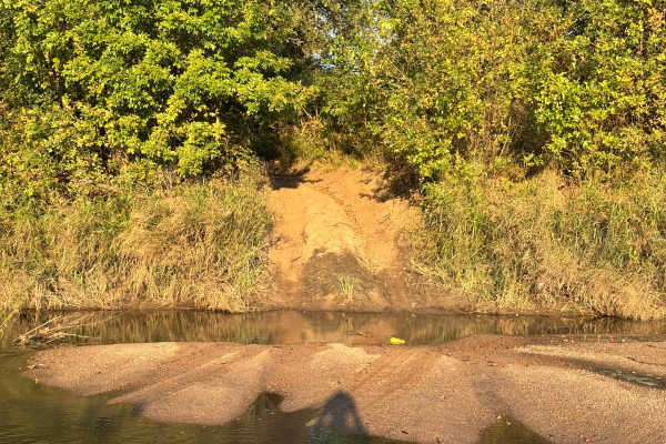
This trail provides access to what is the easiest entrance to the Arkansas River sandbar, making it a preferred route for those looking to reach the river without tackling extreme terrain. The trail itself is mild, with no major obstacles and only a few shallow mud holes, all of which appear to have...
Learn more about Sandy Bottom Boulevard
Beginner ATV trails near Lehigh, Kansas
Explore ATV-friendly trails near you. These trails are accessible for vehicles up to 50 inches wide, perfect for ATVs and smaller off-road machines.
Beginner UTV/side-by-side trails near Lehigh, Kansas
Find UTV and side-by-side trails near you. These trails accommodate vehicles up to 60 inches wide, ideal for UTVs, side-by-sides, and wider off-road rigs.
Sandy Bottom Boulevard
This trail provides access to what is the easiest entrance to the Arkansas River sandbar, making it a preferred route for those looking to reach the river without tackling extreme terrain. The trail itself is mild, with no major obstacles and only a few shallow mud holes, all of which appear to have...
Learn more about Sandy Bottom Boulevard
Beater Boulevard
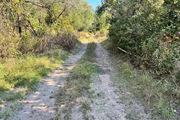
This trail is generally smooth with no major obstacles, making it suitable for most 4WD vehicles, including stock setups. Along the way, you’ll encounter a few mud holes, but they have solid bottoms during mapping and were not excessively deep. These muddy sections may still require cautious driving...
Learn more about Beater Boulevard
Crankshaft Crack
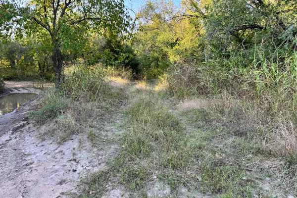
This trail is generally simple to navigate, making it an easy route for most 4WD vehicles. However, drivers of wider or longer wheelbase rigs should be aware of a tight turn that may require careful maneuvering to avoid brushing against trees or backing up to reposition. Throughout the trail, there ...
Learn more about Crankshaft Crack
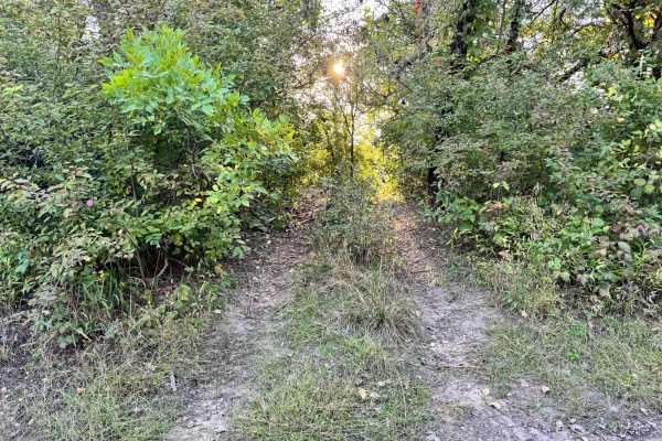
Test Bench Run
This trail leads directly down to the Arkansas River, ending at a sandbar that can offer scenic access, if conditions allow. However, drivers should pay close attention to river levels, as high water can quickly wash over the sandbar or change its shape overnight, making it unsafe or unusable. The a...
Learn more about Test Bench Run
The onX Offroad Difference
onX Offroad combines trail photos, descriptions, difficulty ratings, width restrictions, seasonality, and more in a user-friendly interface. Available on all devices, with offline access and full compatibility with CarPlay and Android Auto. Discover what you're missing today!
Open Trail Map