Trail Overview
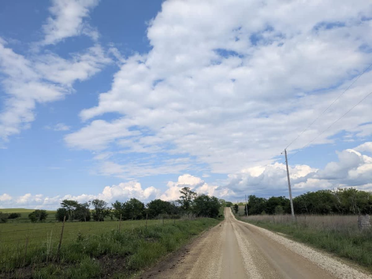
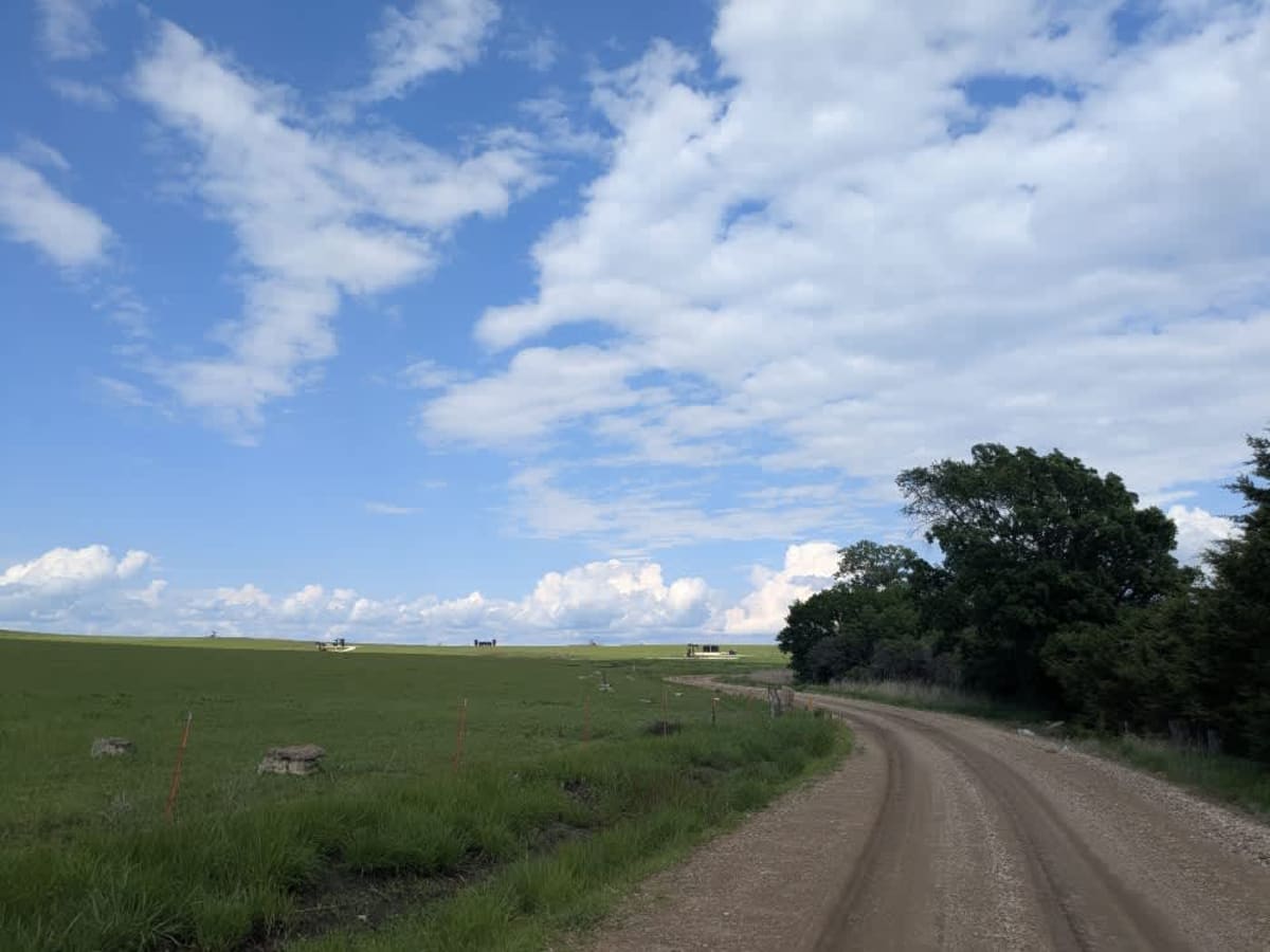
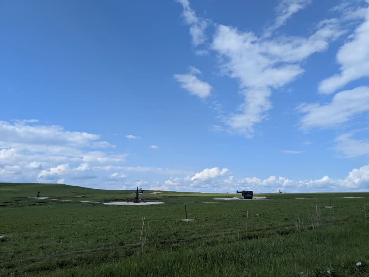
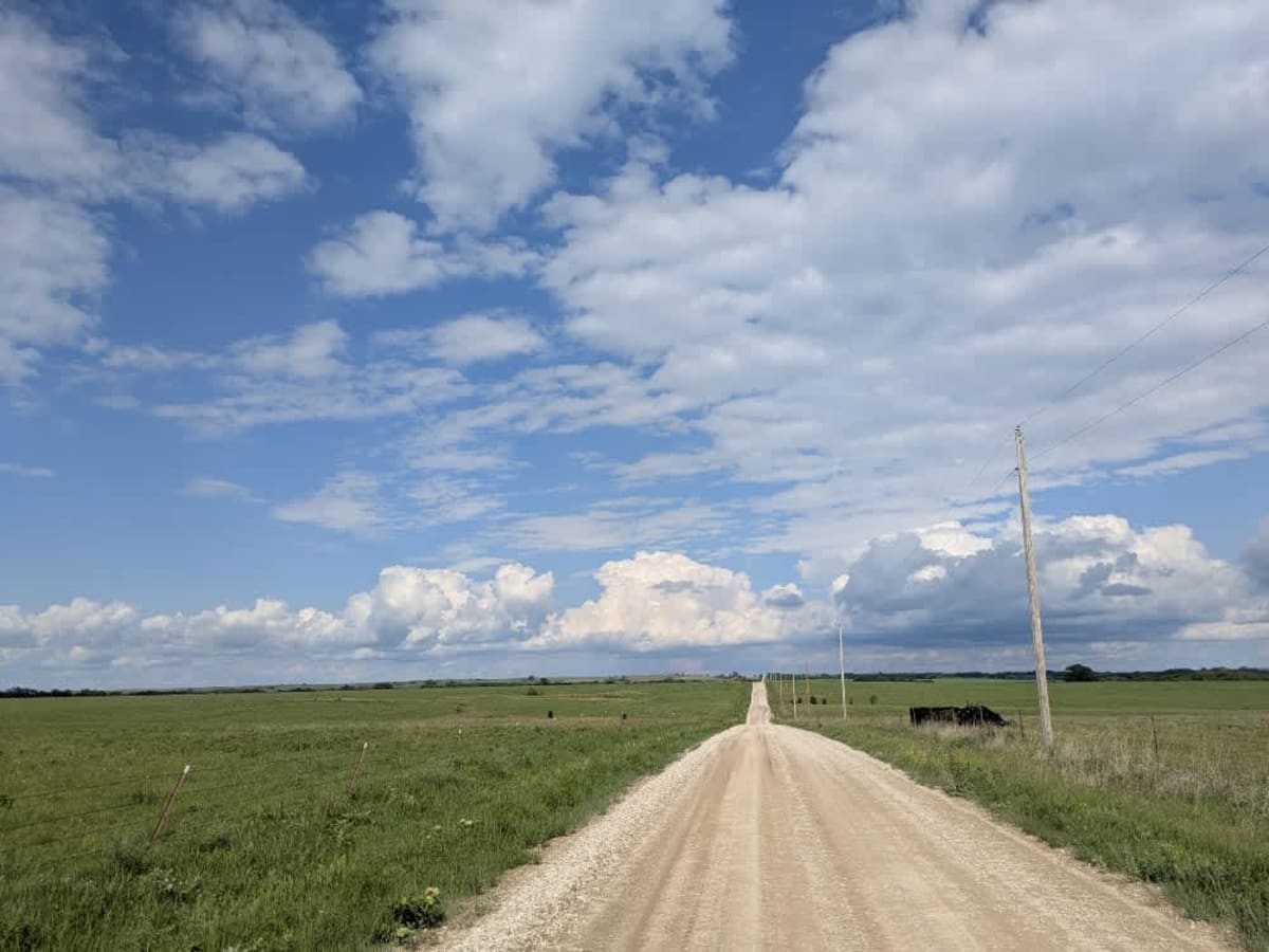
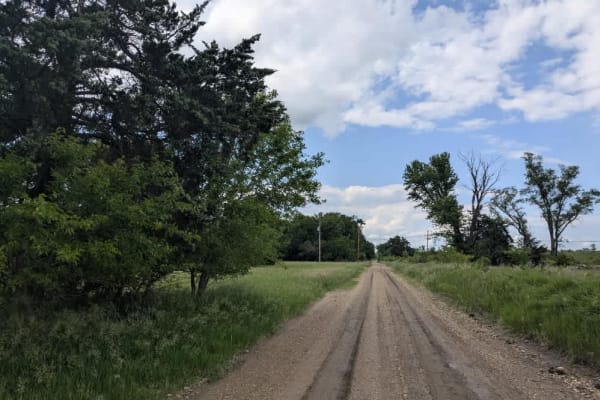
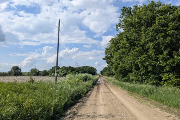
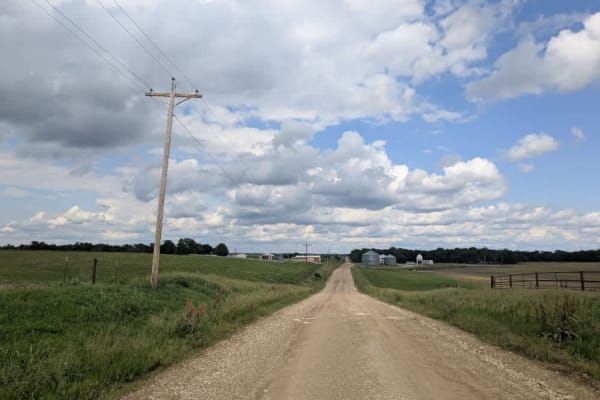
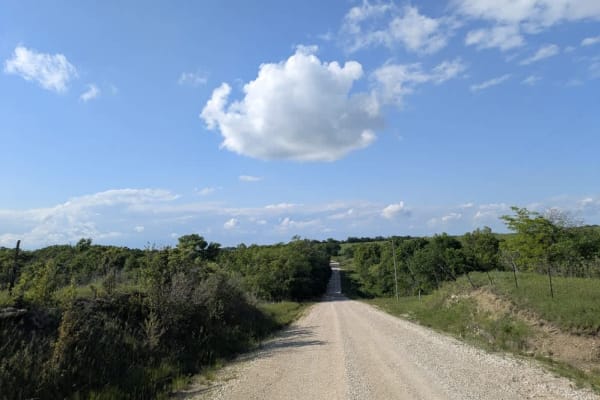
This trail begins with an arrow-straight, smooth stretch peppered by a few gentle ascents and descents. As it starts to wind, you'll pass a scene reminiscent of a painting: black cows grazing on vibrant grass beside cream-colored concrete slabs supporting black oil tanks, all set against rolling green hills. Keep an eye out for local traffic as you drive. There are no formal or dispersed campsites, and you won't find trash disposal or water sources along the way. Cell service is limited, so consult your onX app for coverage before you head out.
Difficulty
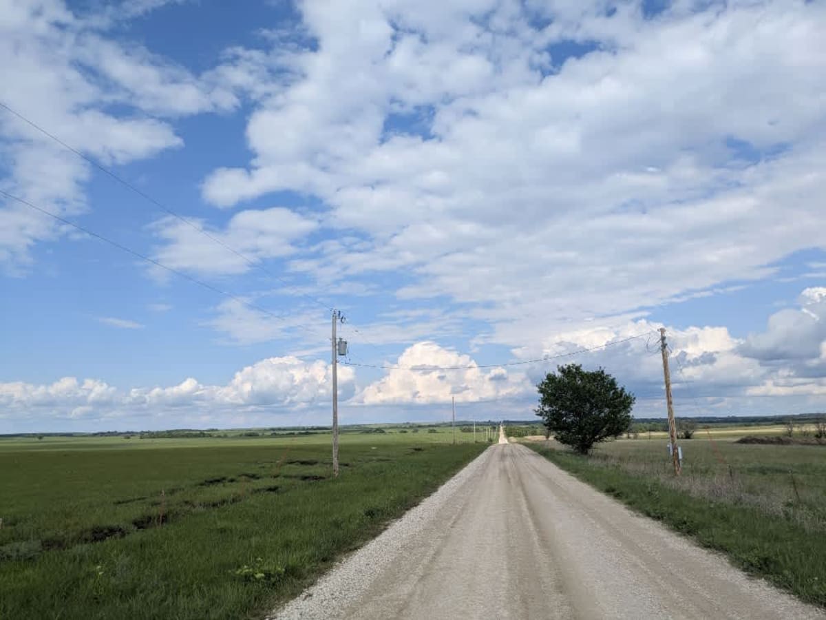
The trail is well-maintained and routinely graded to support a range of local use, from daily agricultural traffic by farmers to occasional travelers and outdoor enthusiasts passing through the area. Its good condition makes it easily accessible and reliable for all types of vehicles.
History
This route traces the historic heartland of the Flint Hills, a region that has remained largely untouched by modern agriculture due to its shallow, rocky soils--making it one of the last strongholds of North America's tallgrass prairie. The trails crosses land with deep cultural roots--from Native American hunting grounds to working cattle ranches. Expect long views over tallgrass prairie, passing ghost towns, century-old barns, and scenic byways that have carried generations of ranchers and travelers alike