Trail Overview
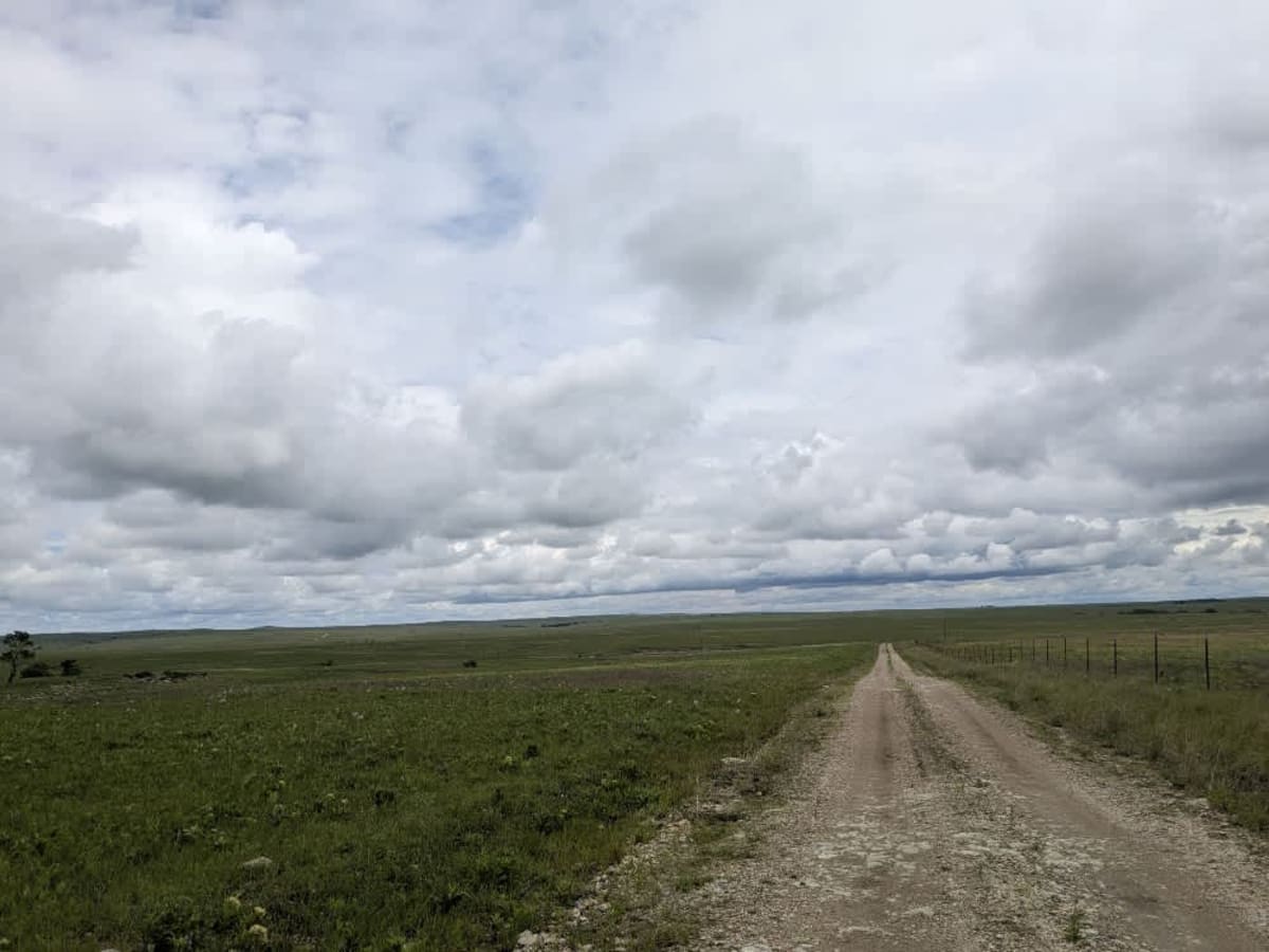
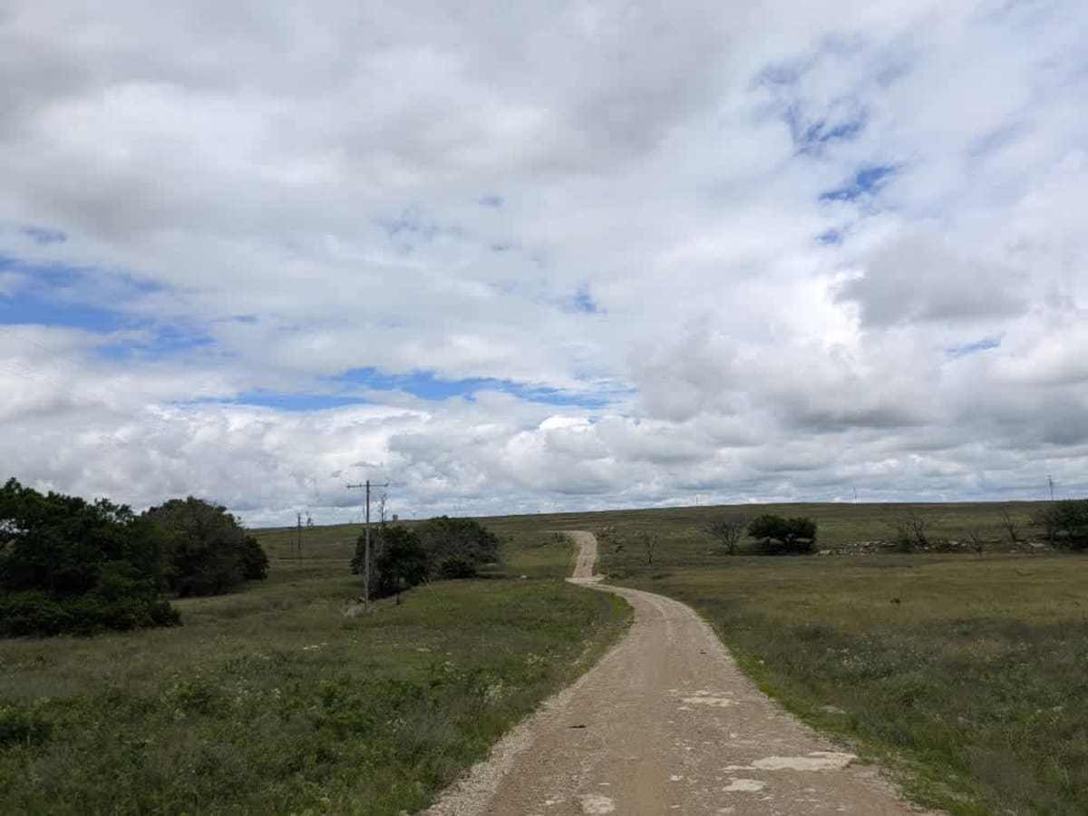
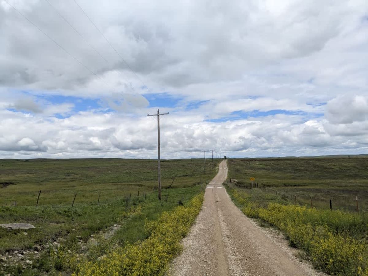
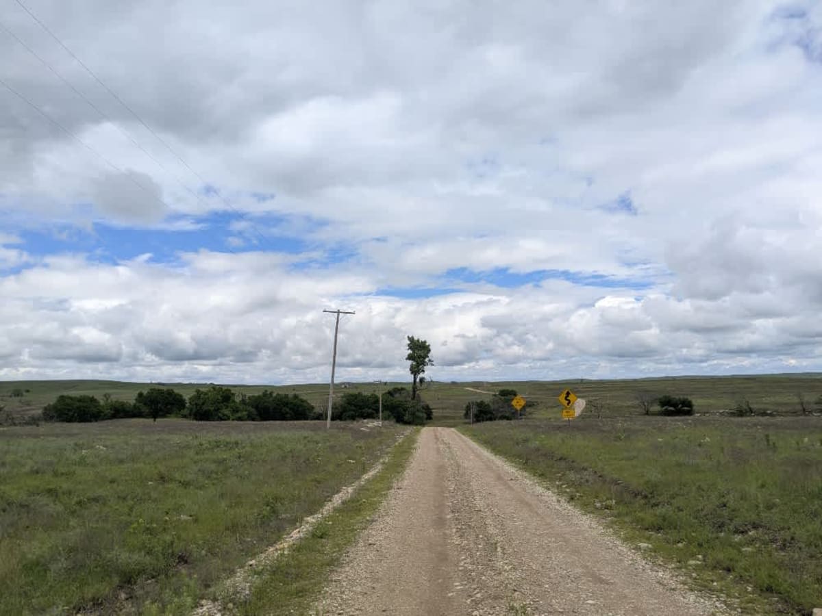
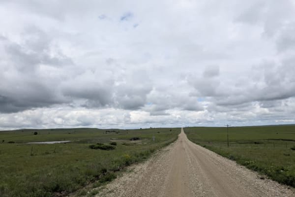
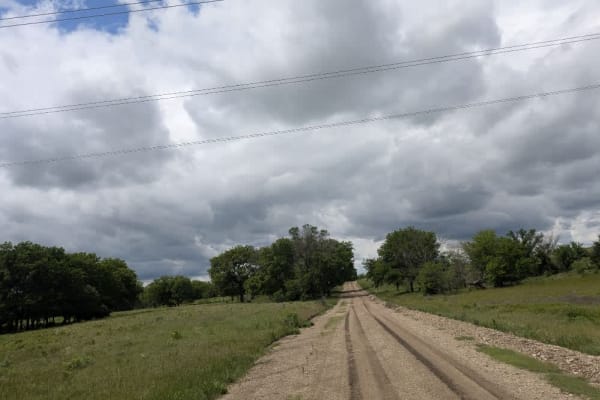
The path quickly narrows into a muddy ribbon across open range, so you'll pass through several cattle gates and might spot cows lingering on the roadway, drawn by the sound of your engine. Occasional oil derricks punctuate the landscape, hinting at the route's infrequent use by local farmers and field workers rather than steady traffic. You won't encounter formal or dispersed campsites, trash bins, or reliable water sources, and cell reception fades in and out. Be sure to check your onX app for coverage before you set off.
Difficulty
The trail is unmaintained but supports a range of local use, from daily agricultural traffic by farmers to occasional travelers and outdoor enthusiasts passing through the area. Its good condition makes it easily accessible and reliable for all types of vehicles.
History
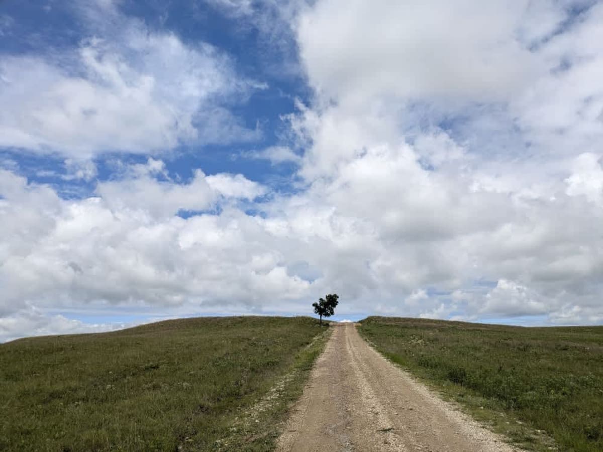
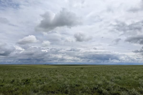
This route traces the historic heartland of the Flint Hills, a region that has remained largely untouched by modern agriculture due to its shallow, rocky soils--making it one of the last strongholds of North America's tallgrass prairie. The trail crosses land with deep cultural roots--from Native American hunting grounds to working cattle ranches. Expect long views over tallgrass prairie, passing ghost towns, century-old barns, and scenic byways that have carried generations of ranchers and travelers alike.