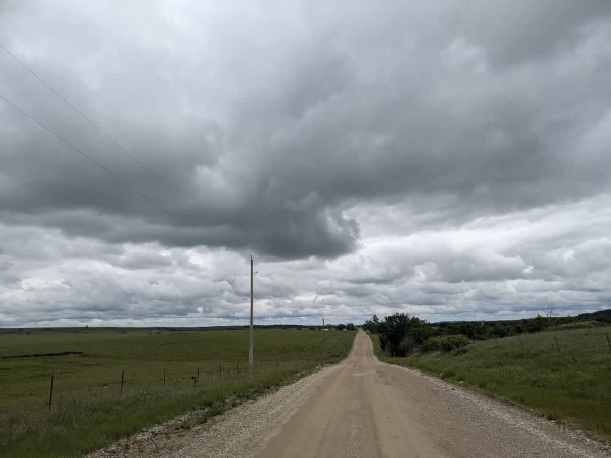
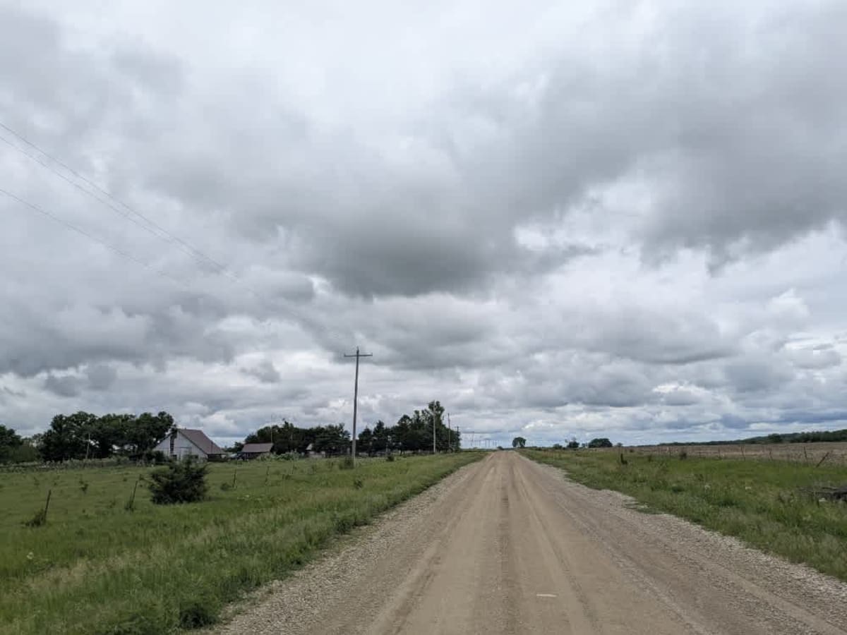
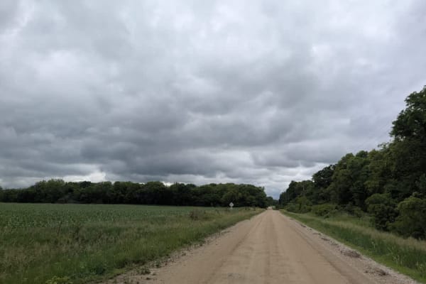
Trail Overview
The route runs mostly straight across well-graded gravel, though it bends just enough to keep things interesting and crosses over a broad concrete bridge spanning the creek. Shallow corrugations, scattered potholes, and late-May mud remind you to stay alert, but the drive remains enjoyable rather than punishing. A few farmhouses dot the roadside, and a small Lutheran church with its adjoining cemetery offers a scenic pause if you feel like stretching your legs. There are no campsites, trash bins, or reliable water sources along the way, and cell reception wavers, so consult your onX coverage before setting out.
Difficulty
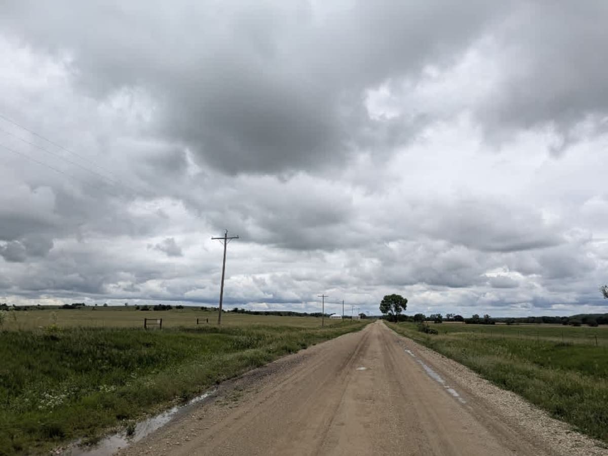
The trail is well-maintained and routinely graded to support a range of local use, from daily agricultural traffic by farmers to occasional travelers and outdoor enthusiasts passing through the area. Its good condition makes it easily accessible and reliable for all types of vehicles.
History
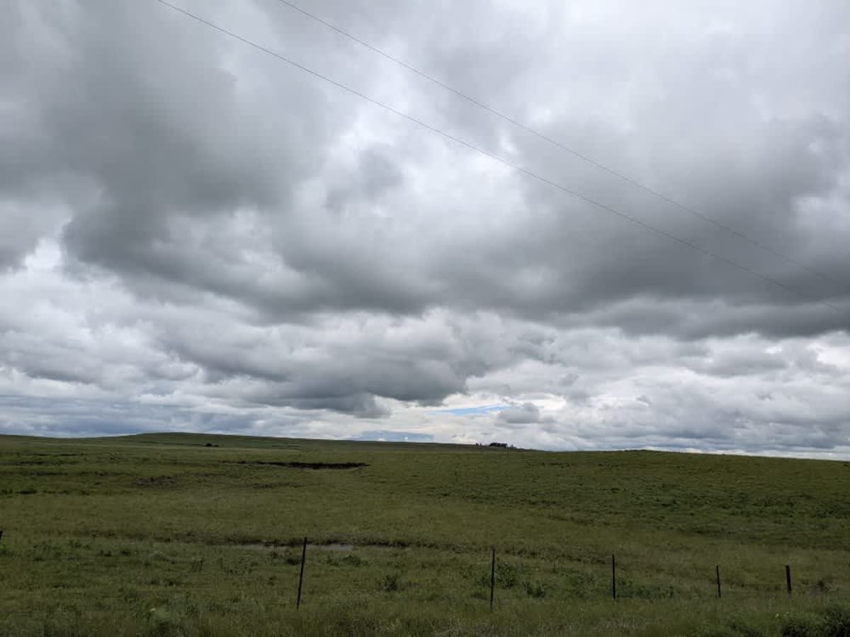
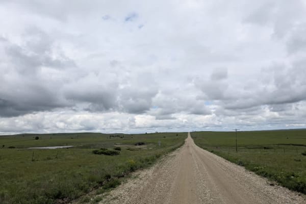
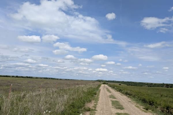
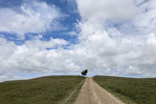
This route traces the historic heartland of the Flint Hills, a region that has remained largely untouched by modern agriculture due to its shallow, rocky soils--making it one of the last strongholds of North America's tallgrass prairie. The trail crosses land with deep cultural roots--from Native American hunting grounds to working cattle ranches. Expect long views over tallgrass prairie, passing ghost towns, century-old barns, and scenic byways that have carried generations of ranchers and travelers alike.